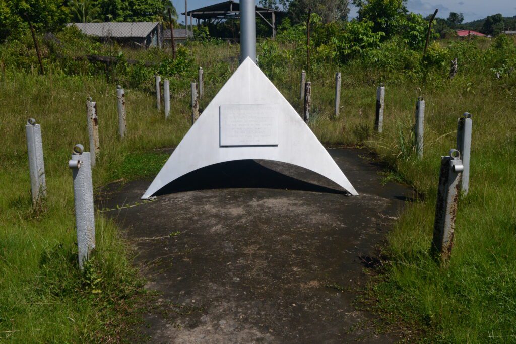
Cenotaphs (Mackenzie)
Location: Mackenzie, Linden Classification: Commemorative Monuments Period/ Year Built: 1968 & 1980s Historical Background / Description: The town of Linden is home to two cenotaphs, the first was unveiled in November 1968, by Mr. R.M. Dealy on behalf of the Demerara Bauxite Company (DEMBA). This Cenotaph was built to honour the fallen soldiers of World […]