Location: Ameila’s Ward, Linden
Classification: Civil Infrastructure
Period/ Year Built: 1968
Historical Background / Description:
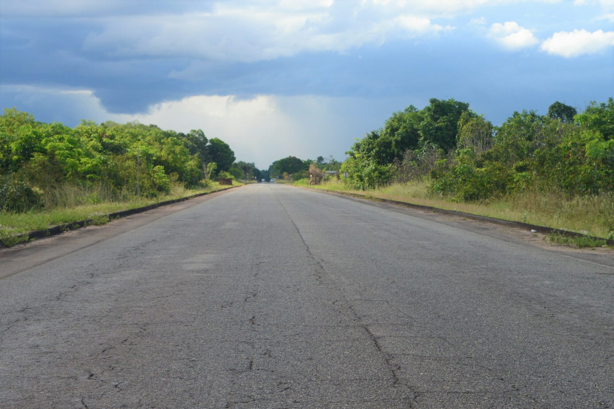
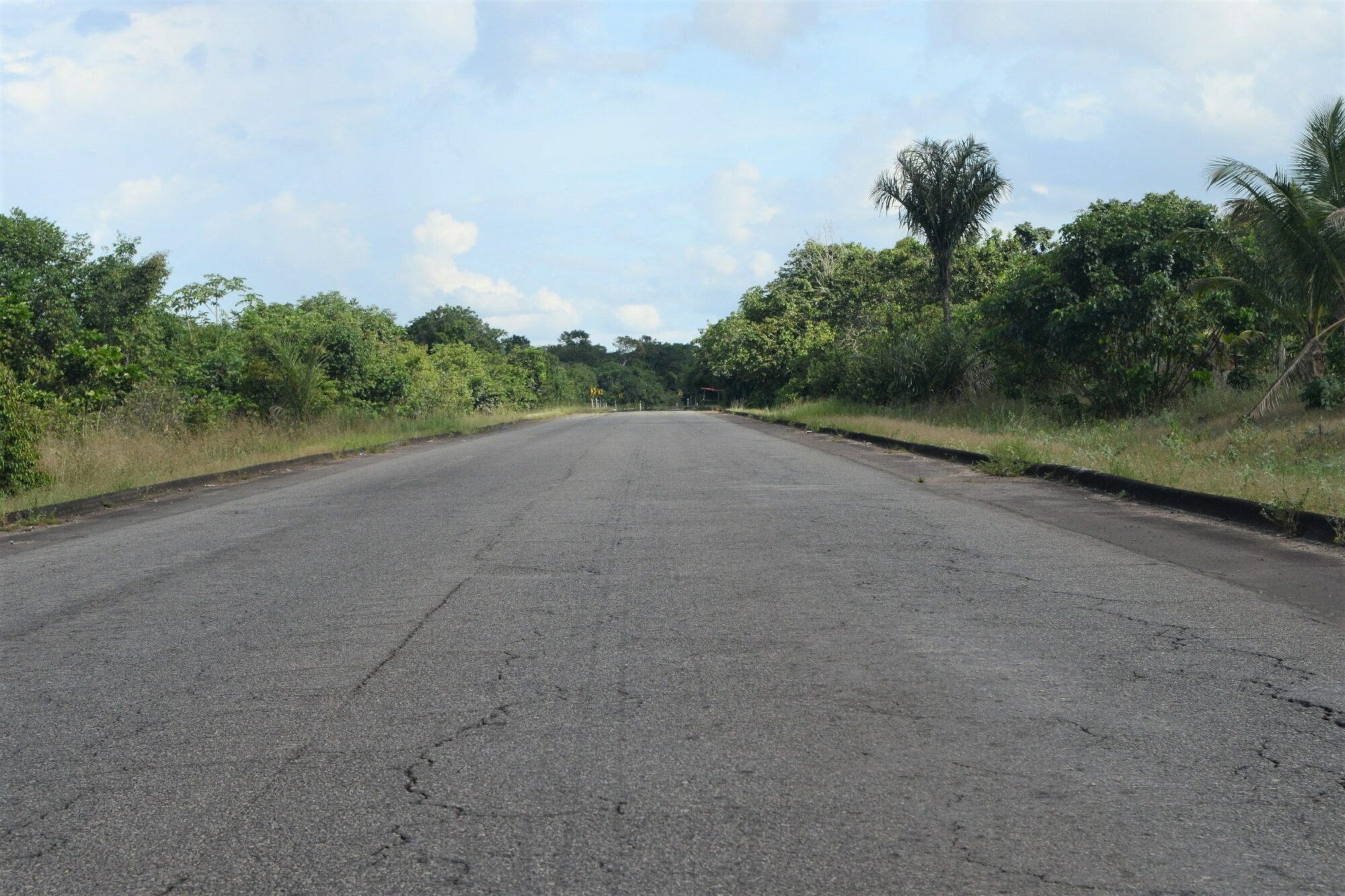
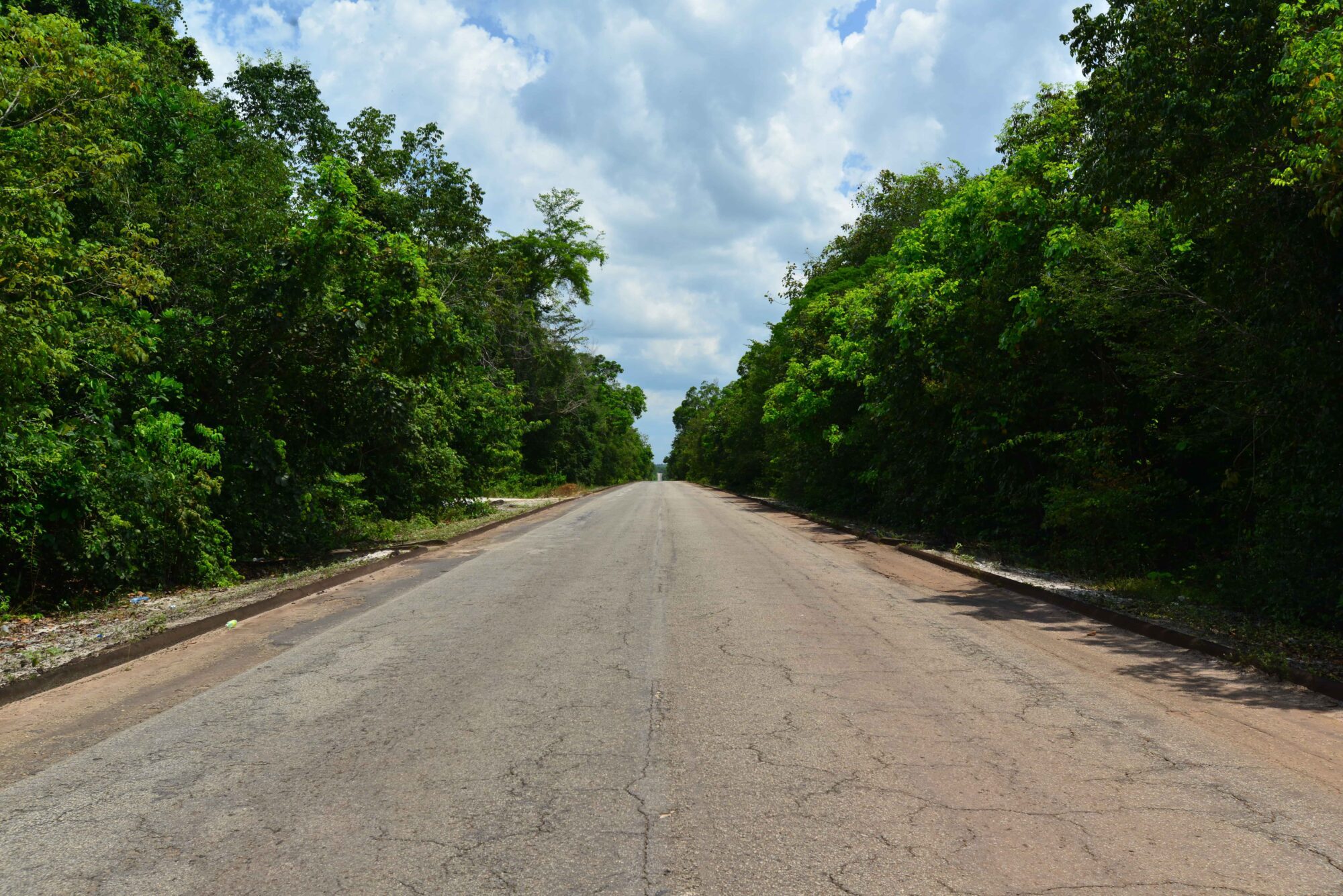
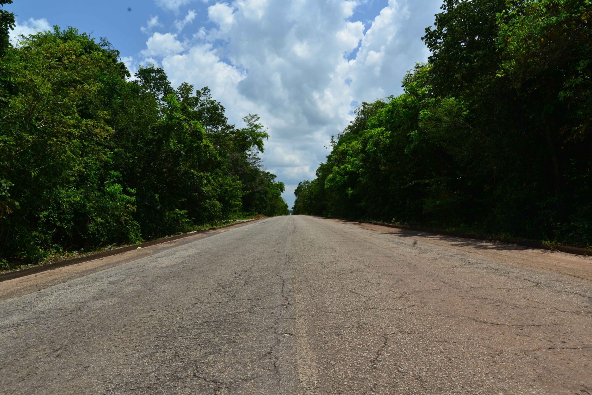
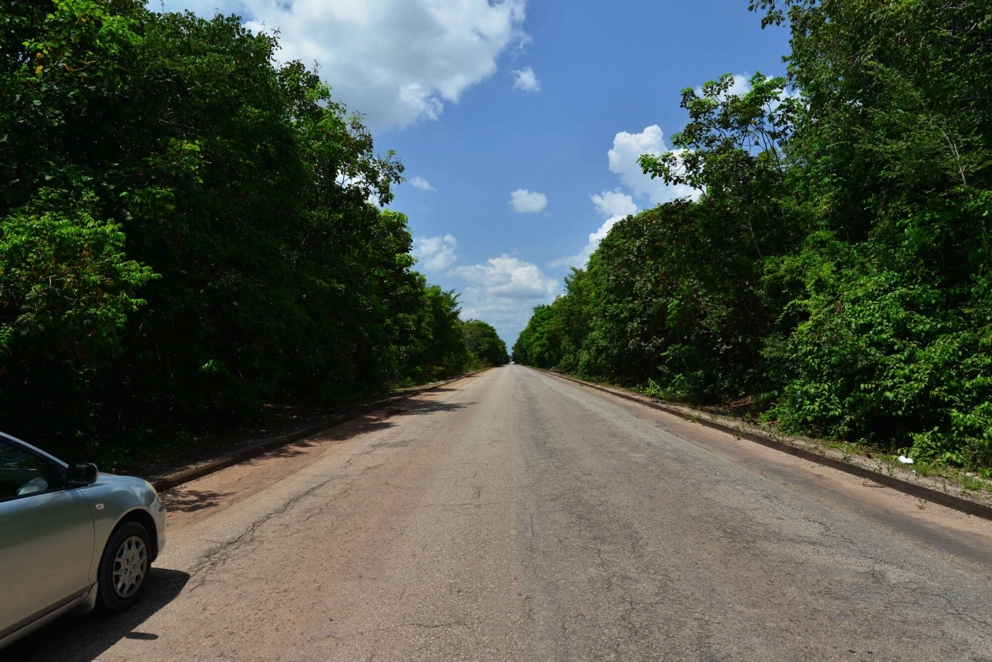
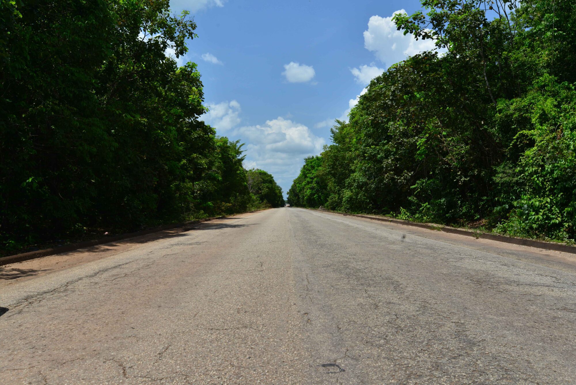
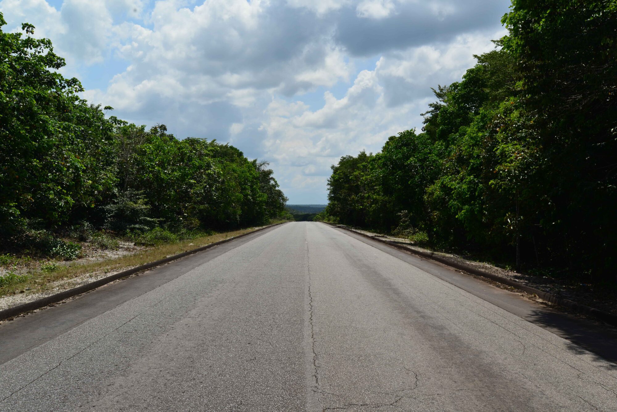
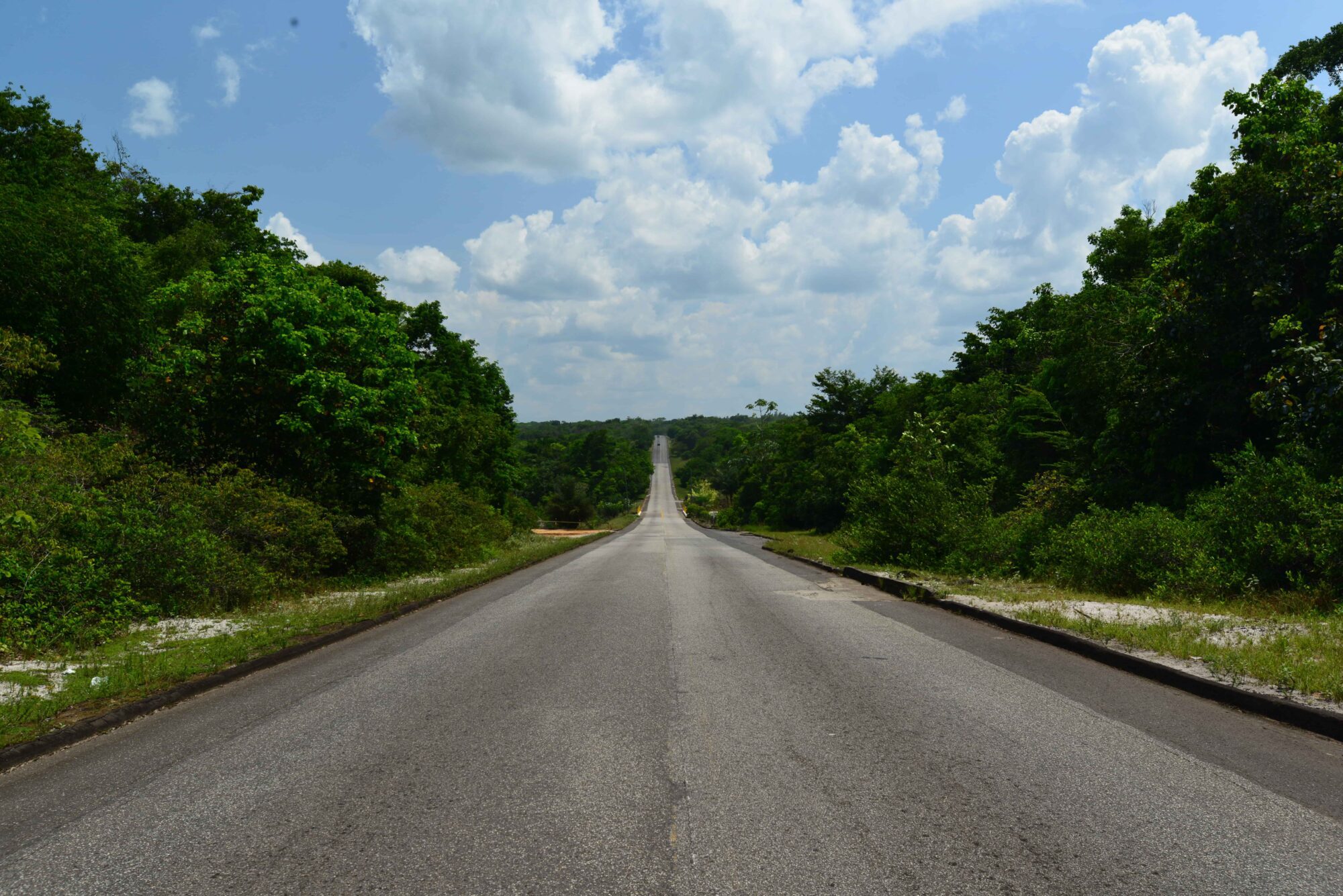
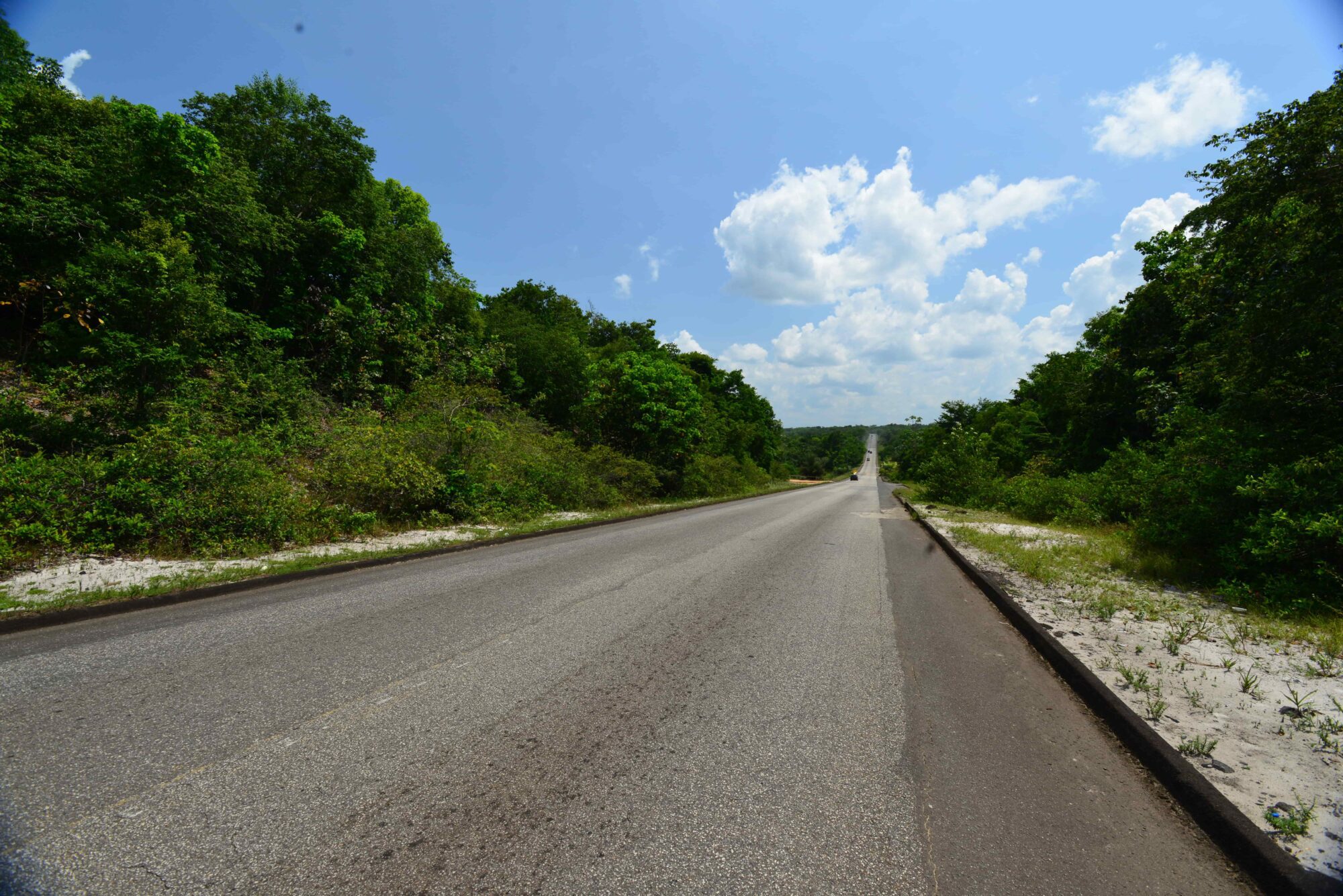
The Soesdyke/Linden Highway is a two-lane road that stretches through Guyana’s hilly terrain. This road allows travellers to traverse from Soesdyke, Region four to Amelia’s Ward in Region 10, within the period of 2 hours. The highway was officially declared opened in December 1968, by Prime Minster of Guyana, Mr. Linden Sampson Burnham. Prior to the road, a trail was used to traverse between the two locations by land and by motor vessels via the Demerara River.