National Trust of Guyana

Region 9 (Upper Takutu-Upper Essequibo)

Iwokrama Rainforest

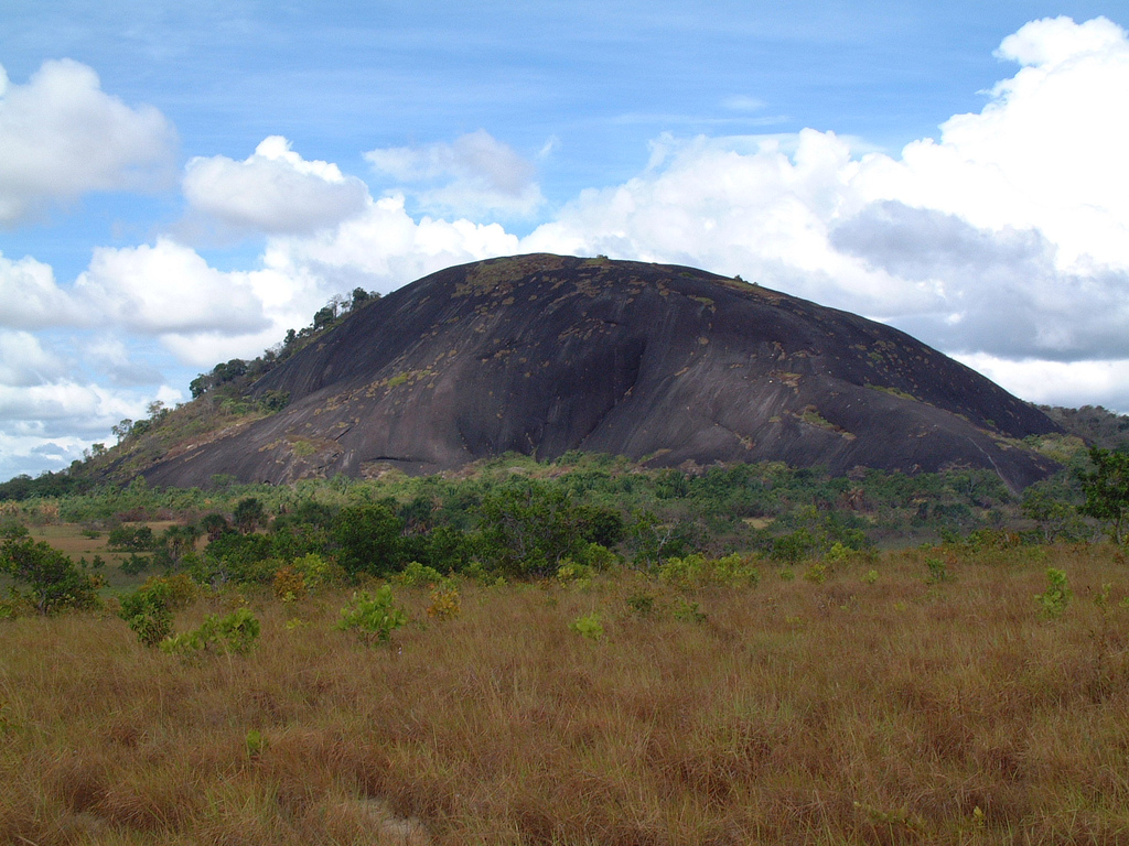
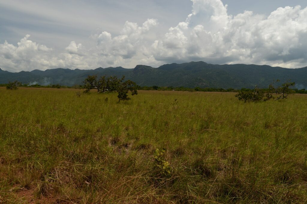
Location: Essequibo  Classification: Natural Site  Period/ Year Built: Not Applicable  Historical Background / Description:  Iwokrama Rainforest is located in heart of the Guiana shield and consists of approximately 3,710 square kilometres (1,432 square miles) of untouched rainforest. The forest which is dissected by the Georgetown-Lethem Road is bordered by the Pakaraima Mountains, the highlands savannahs …

Iwokrama Rainforest Read More »

Rewa

Location: Rewa, Essequibo  Classification: Indigenous Settlement  Period/ Year Built: Unknown  Historical Background / Description:  Rewa is an Indigenous village located at the junction of the Rupununi and Rewa Rivers in the Upper Takutu-Essequibo district. The area which is surrounded by the rainforest is vastly rich with wild life and exotic flora and can be accessed …

Rewa Read More »

Umana Yana (Konashen)

Location: Konashen, Essequibo  Classification: Community  Period/ Year Built: 2007  Historical Background / Description:  The Konashen Umana Yana is situated in Guyana’s first legally protected, community owned, conservation area, the Indigenous village of Masakenari, located in Konashen, South Rupununi. The benab was built by the Wai Wai people in 2007, to host a church conference held …

Umana Yana (Konashen) Read More »

Shea Rock

Location: Shea, Rupununi  Classification: Natural Site  Period/ Year Built: Not Applicable  Historical Background / Description:  Shea Rock is a rocky hill found in the Upper Takutu-Upper Essequibo, Rupununi district in the small Amerindian community of Shea. The small mountain measures 200 metres (676 feet) at its highest peak and is approximately 304.8 metres (1,000 feet) …

Shea Rock Read More »

Kanuku Mountains

Location: South-west Rupununi, Essequibo  Classification: Natural Site  Period/ Year Built: Not Applicable  Historical Background / Description:  The Kanuku Mountains are a group of mountains located in the heart of Guyana’s south-western district in the Rupununi Savannahs. The 5,000 square kilometres (1930 square miles) mountain range is divided by the Rupununi River and is one of …

Kanuku Mountains Read More »

Orinduik Falls

Location: Orinduik, Essequibo  Classification: Natural Site  Period/ Year Built: Not Applicable  Historical Background / Description:  Orinduik Falls, surrounded by the grassland hills of the Pakaraima Mountains is a cascade consisting of a number of oversteps and terraces of solid jasper rocks upon which the highland river of Ireng drifts over. The waterfall measures approximately 25 …

Orinduik Falls Read More »

Aishalton Petroglyphs

Location: Rupununi, Essequibo  Classification: Archaeological  Period/ Year Built: Predates 5000 BC  Historical Background / Description:  Petroglyphs are scattered across the Aishalton district in the Rupununi, Savannah. Aishalton is one of the most populated settlements in the Upper Takutu-Rupununi region and serves as the administrative centre of the southern sub-district.  Makatau Mountain, located some 3 kilometres …

Aishalton Petroglyphs Read More »

Mount Roraima

Location: Pakaraima, Essequibo . Classification: Natural Site  Period/ Year Built: Dates back 2 billion years  Historical Background / Description:  Mount Roraima, the highest of the Pakaraima Mountain range in South America, is a part of the ancient Guiana Shield. This mountain contains some of the oldest geological formations known to man dating back to almost …

Mount Roraima Read More »