Location: Fort Nassau, Upper Berbice
Classification: Historic Site (Archaeological)
Period/ Year Built: Established 1627
Historical Background / Description:
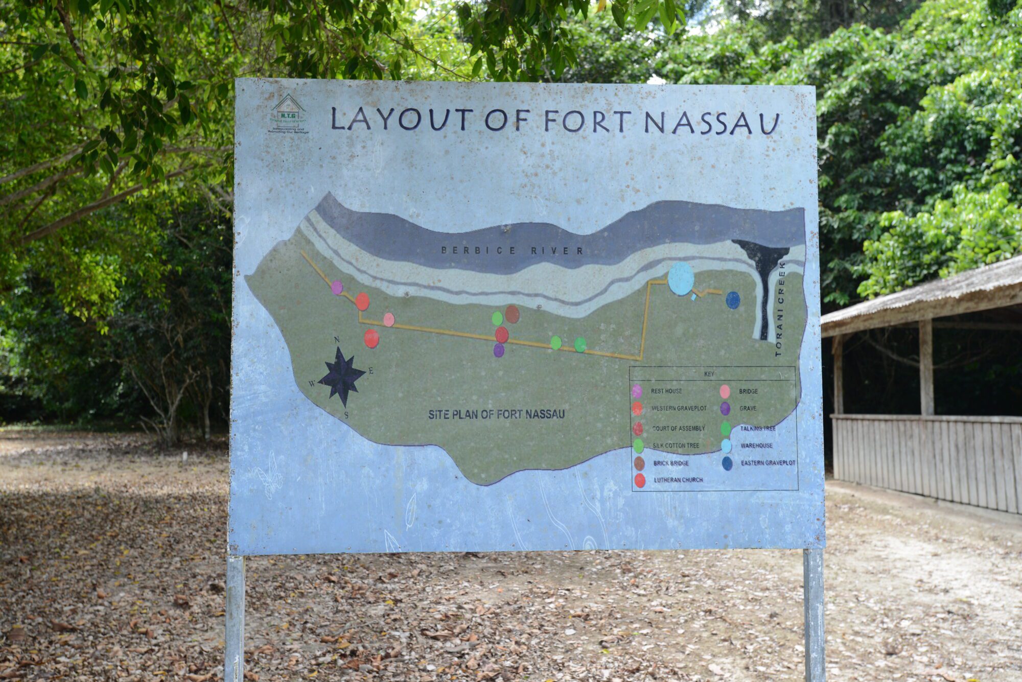
Fort Nassau was established in 1627 as a Dutch trading post. The remains of the fort is located approximately 88 kilometres (55 miles), from the mouth of the Berbice River (right bank) and borders Torani Creek. The fort was first managed privately by the Van Pere family, led by Abraham Van Pere, a director of the Zeeland Chamber of the West India Company (WIC) which was founded in 1621. The first location of the fort is believed to be near the Wiruni River and it was described as a small timber enclosure surrounded by a small cannon and palisades.
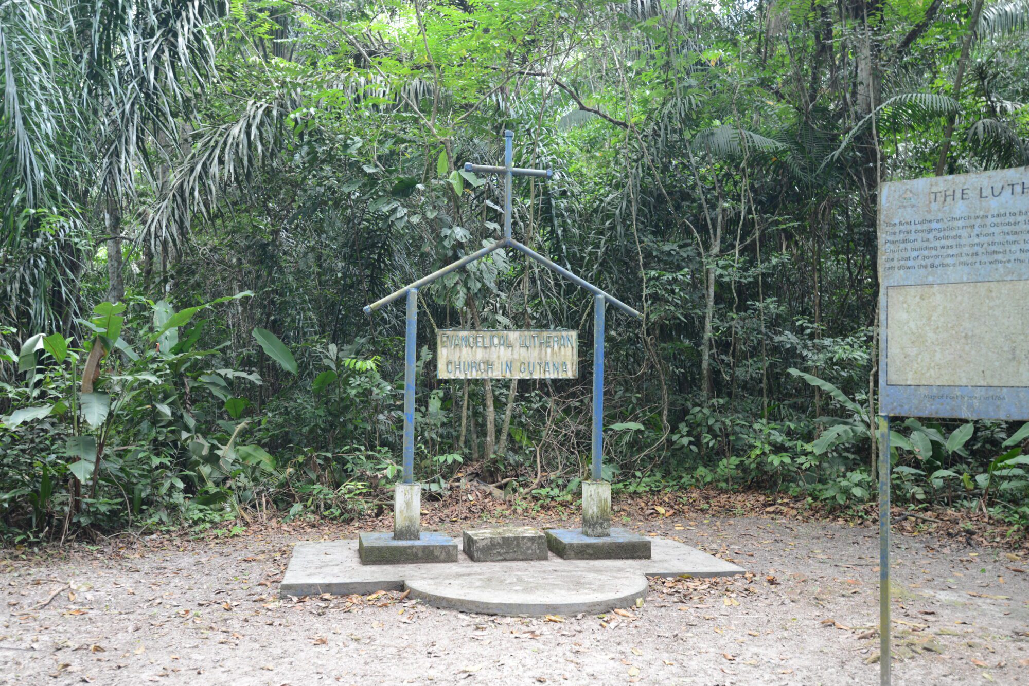
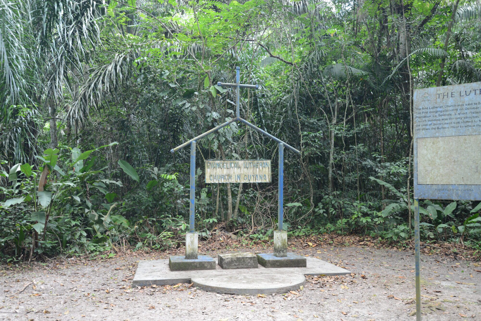
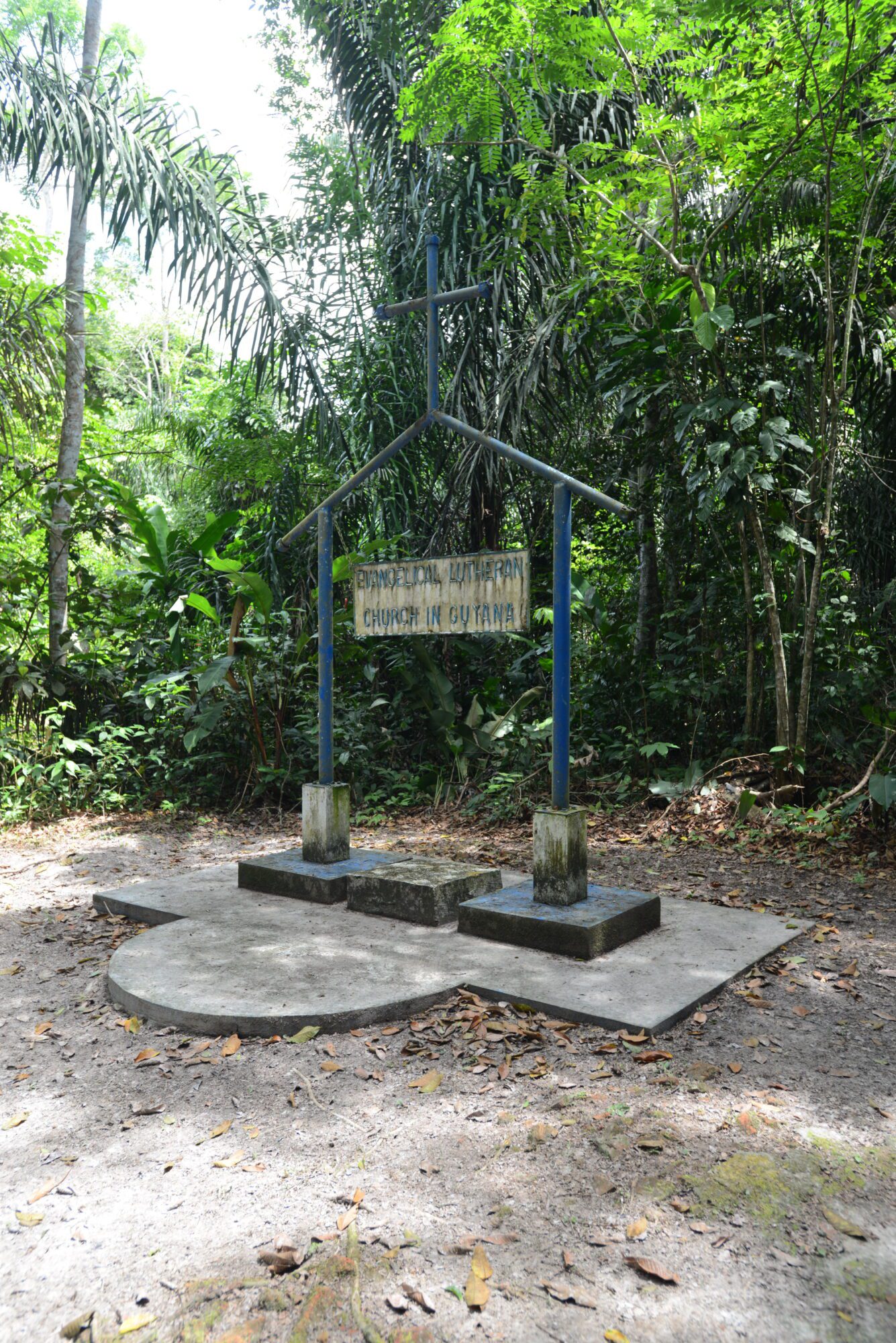
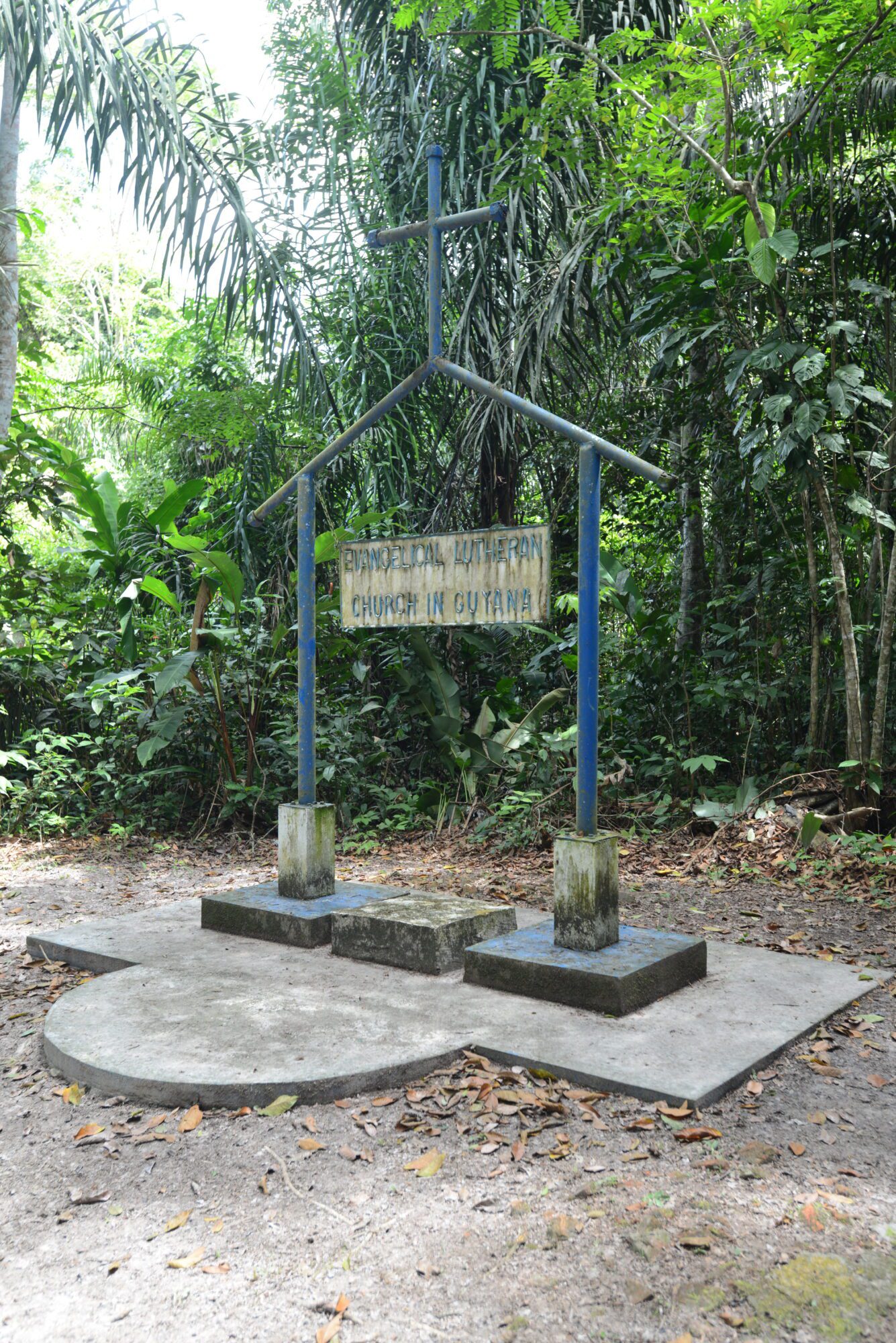
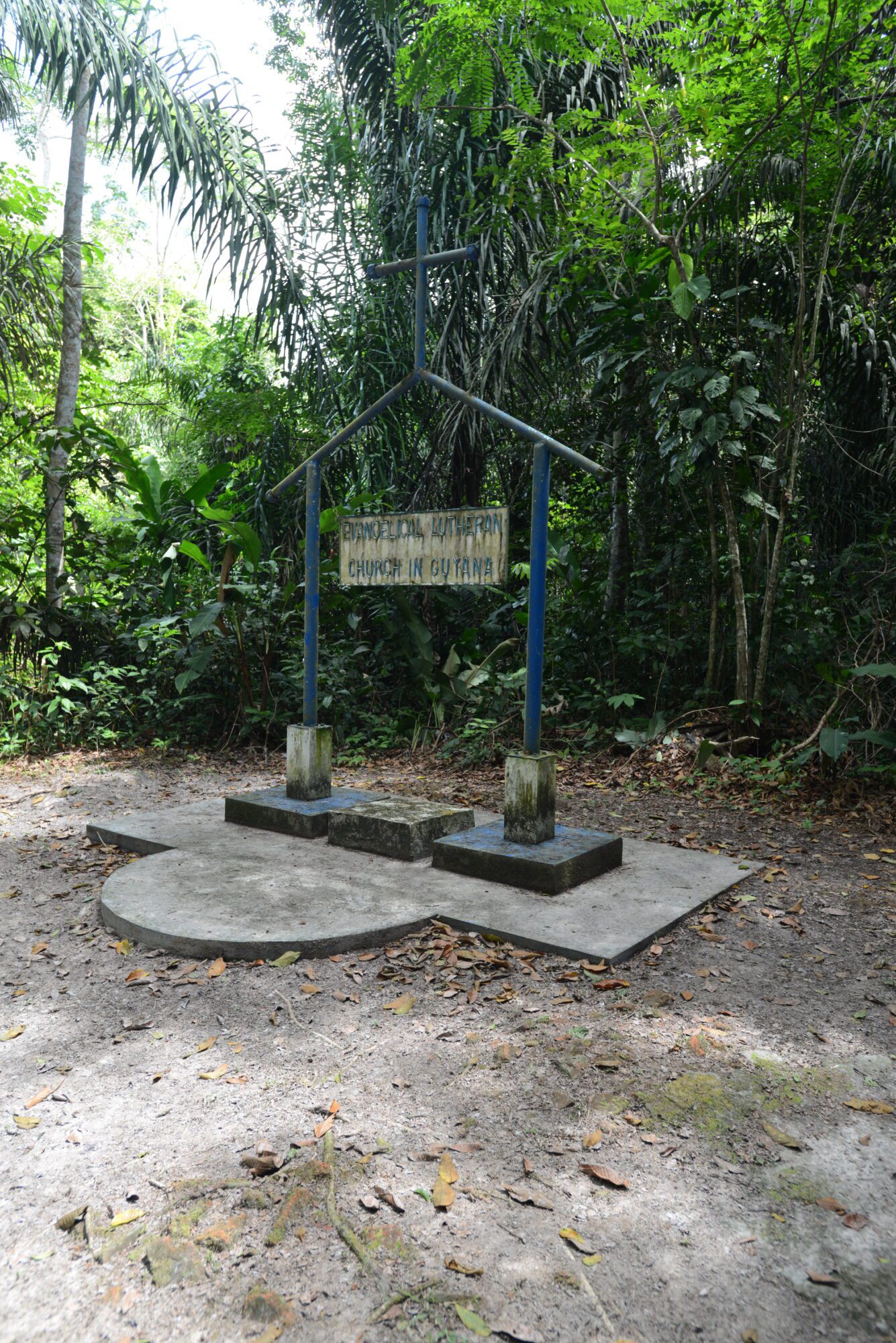
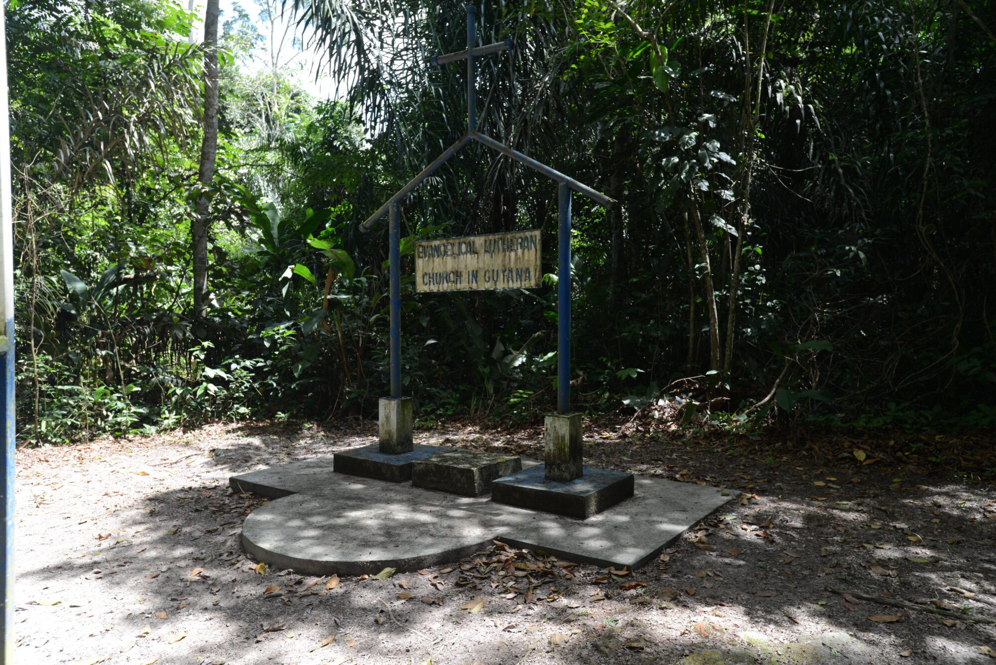
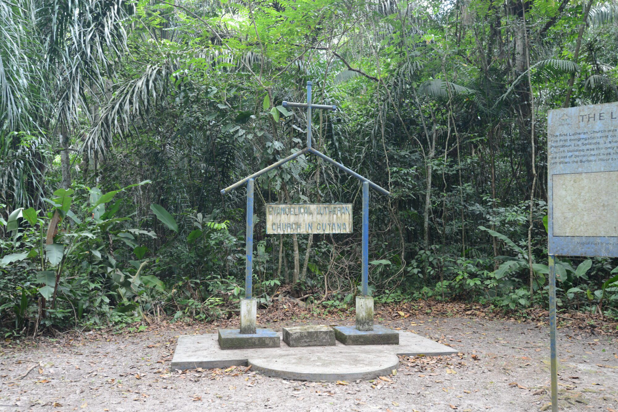
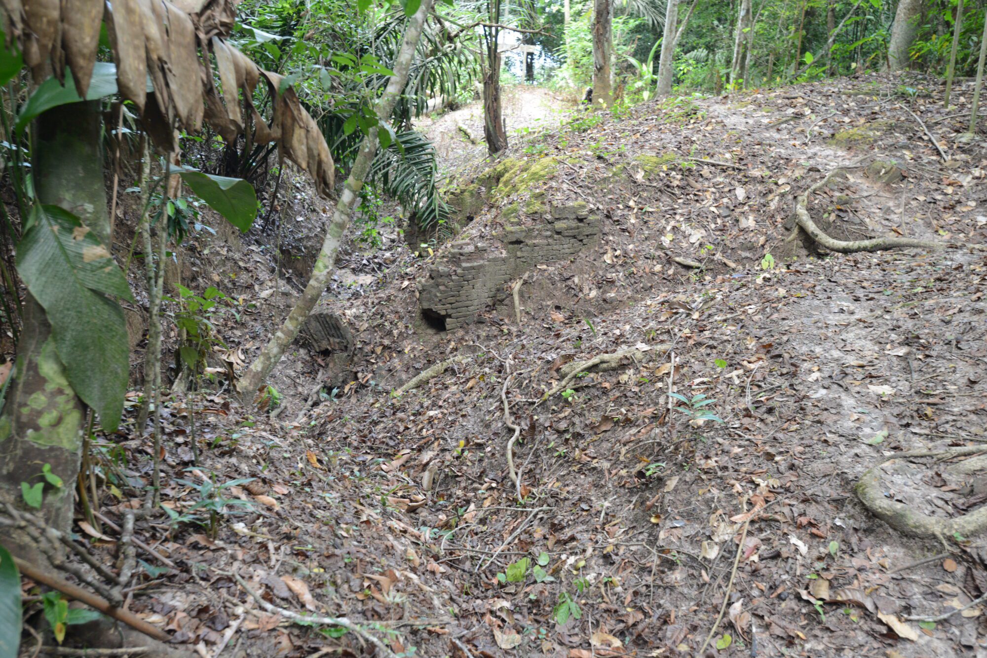
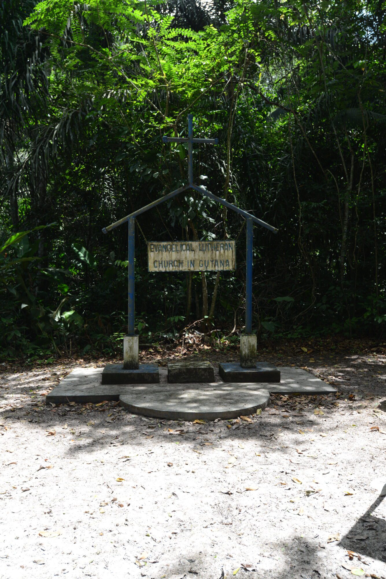
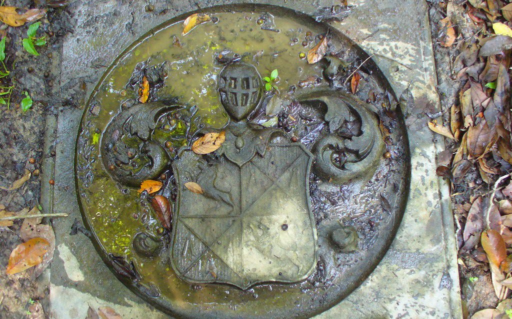
From 1629-1630, the fort was moved 80 kilometres (49.71 miles) from the mouth of the Berbice River. This new fort featured an earthen wall with its palisades and other defence structures built of timber and earth. The fort was rehabilitated in 1678 and in 1684, enlarged by Commandeur Lucas Courdie. The fort was described as square in shape and was constructed of ‘boerewey-hout’ palisades (brush wood used by farmers for fence work). On the riverbank, there were 12 cannons and on the north side two cannons. It is believed that in the middle of the fort, there was a brick house which served as the seat of Government with a Council Hall and also functioned as the Lutheran church.
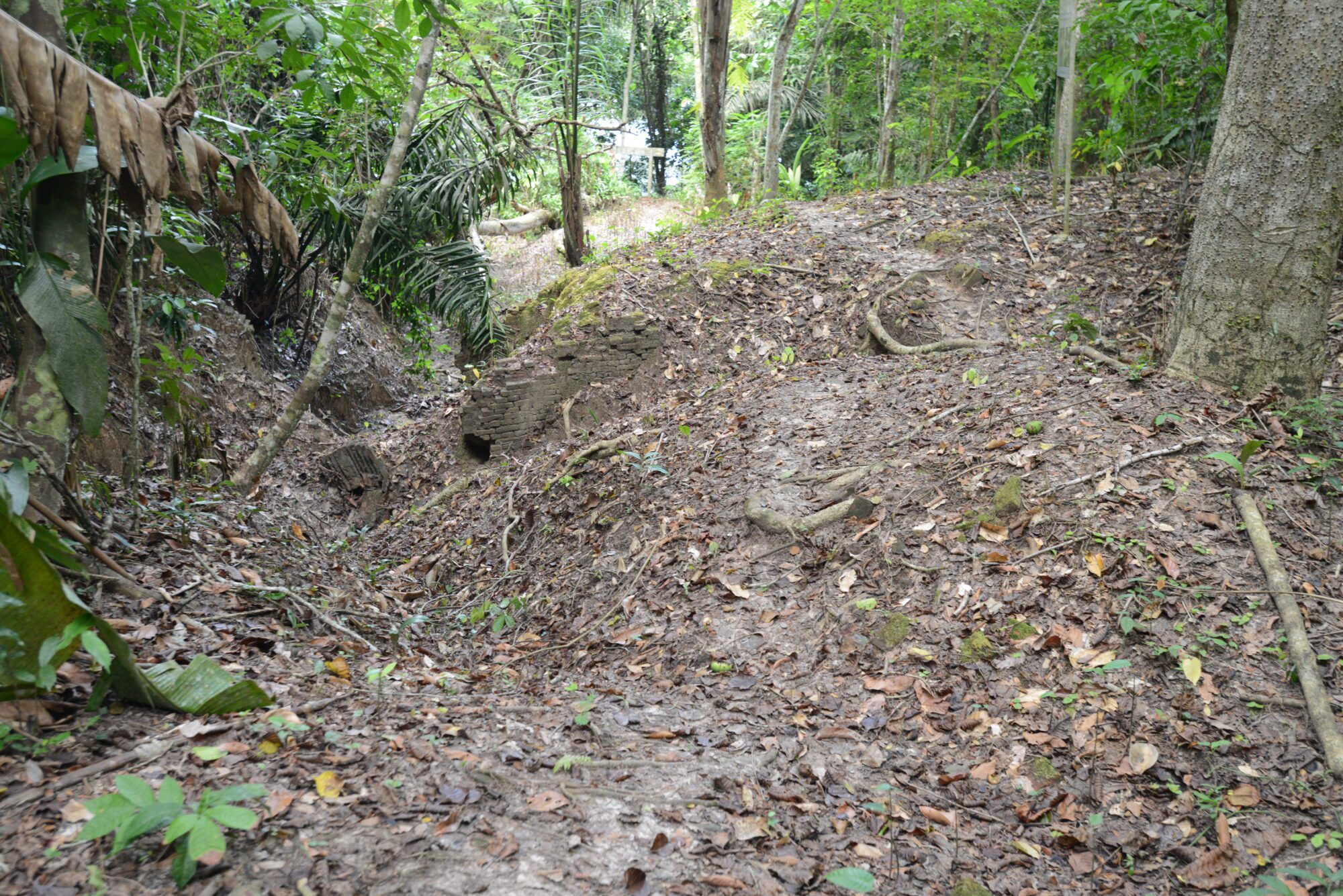
By 1720, the Van Pere family lost control of the fort and the Society of Berbice took command of all its assets. In 1733, the fort was ordered to be enlarged by Governor Bernard Waterham. According to J.J. Hartsinck’s (1770) account, the fort consisted of a Redoubt Samson (Brandwacht) and a mound found 11.27 kilometres (7 miles) upstream. Hartsinck’s last illustration describes the fort as a rectangular brick structure with outer defences of wooden palisades, enlarged with bricks circa 1734.
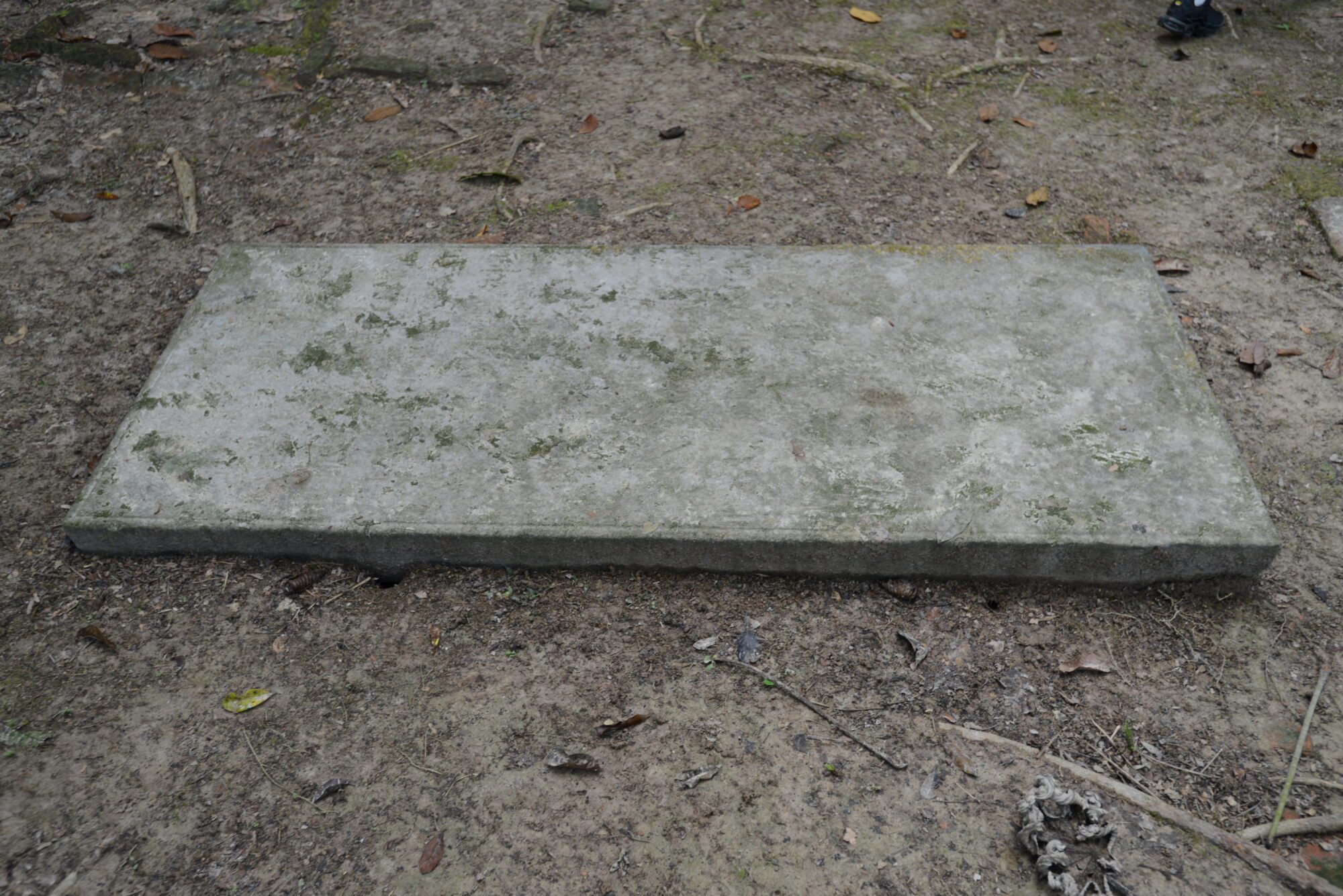
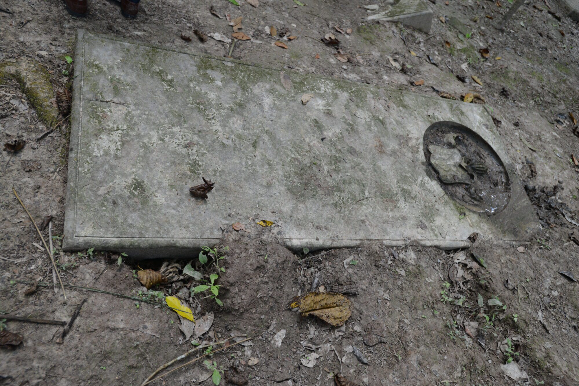
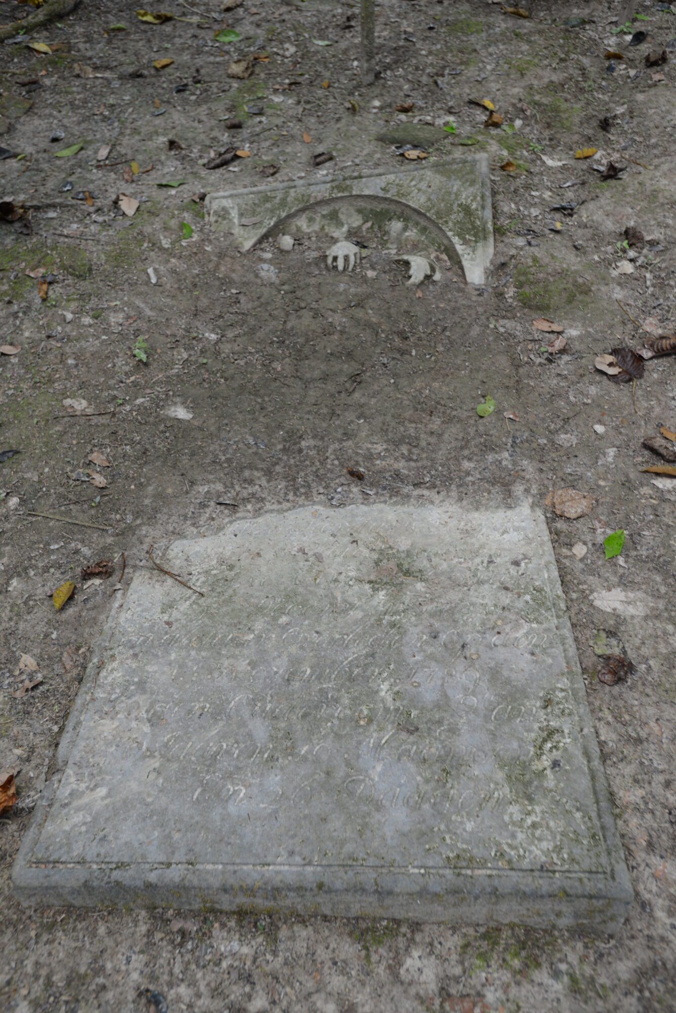
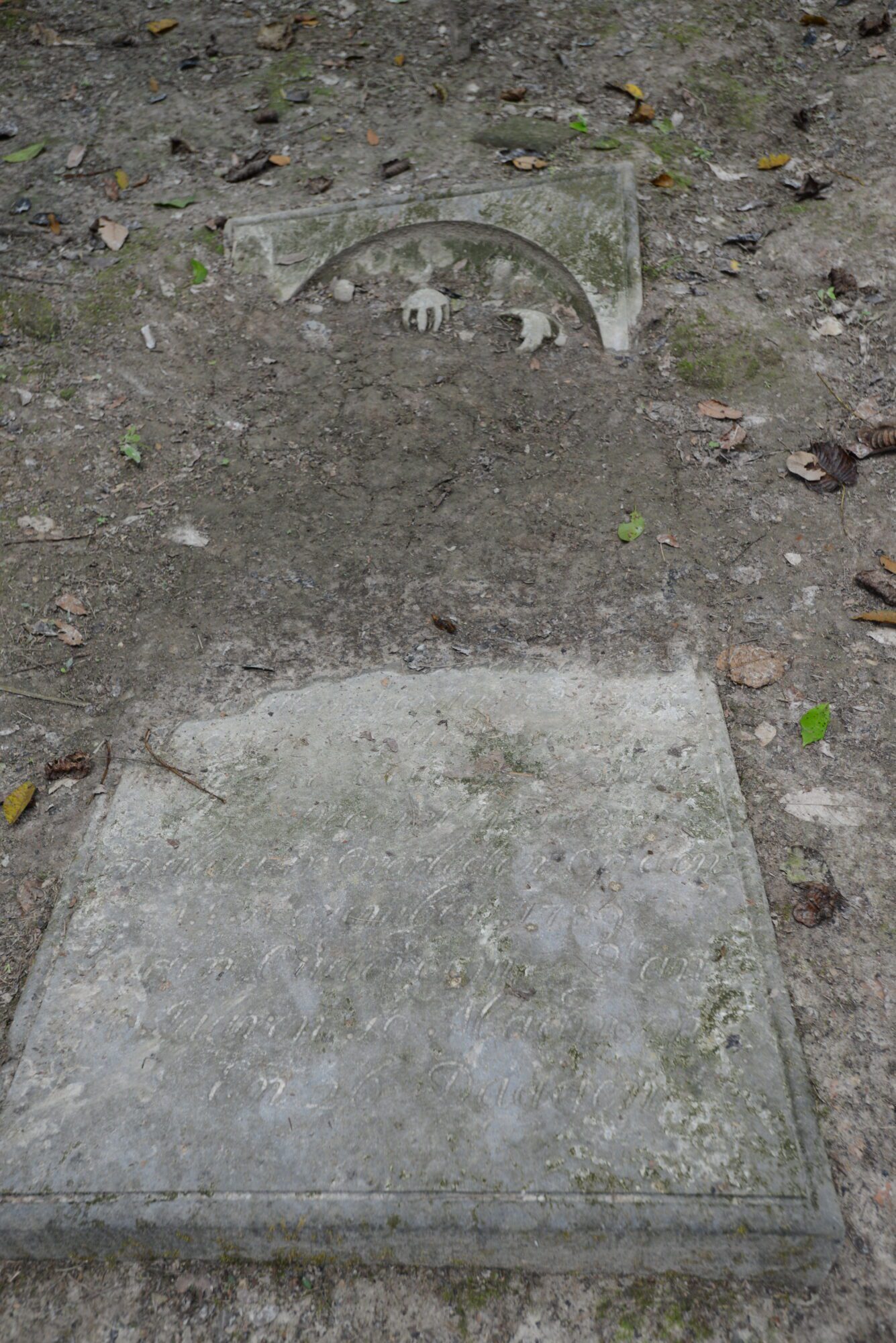
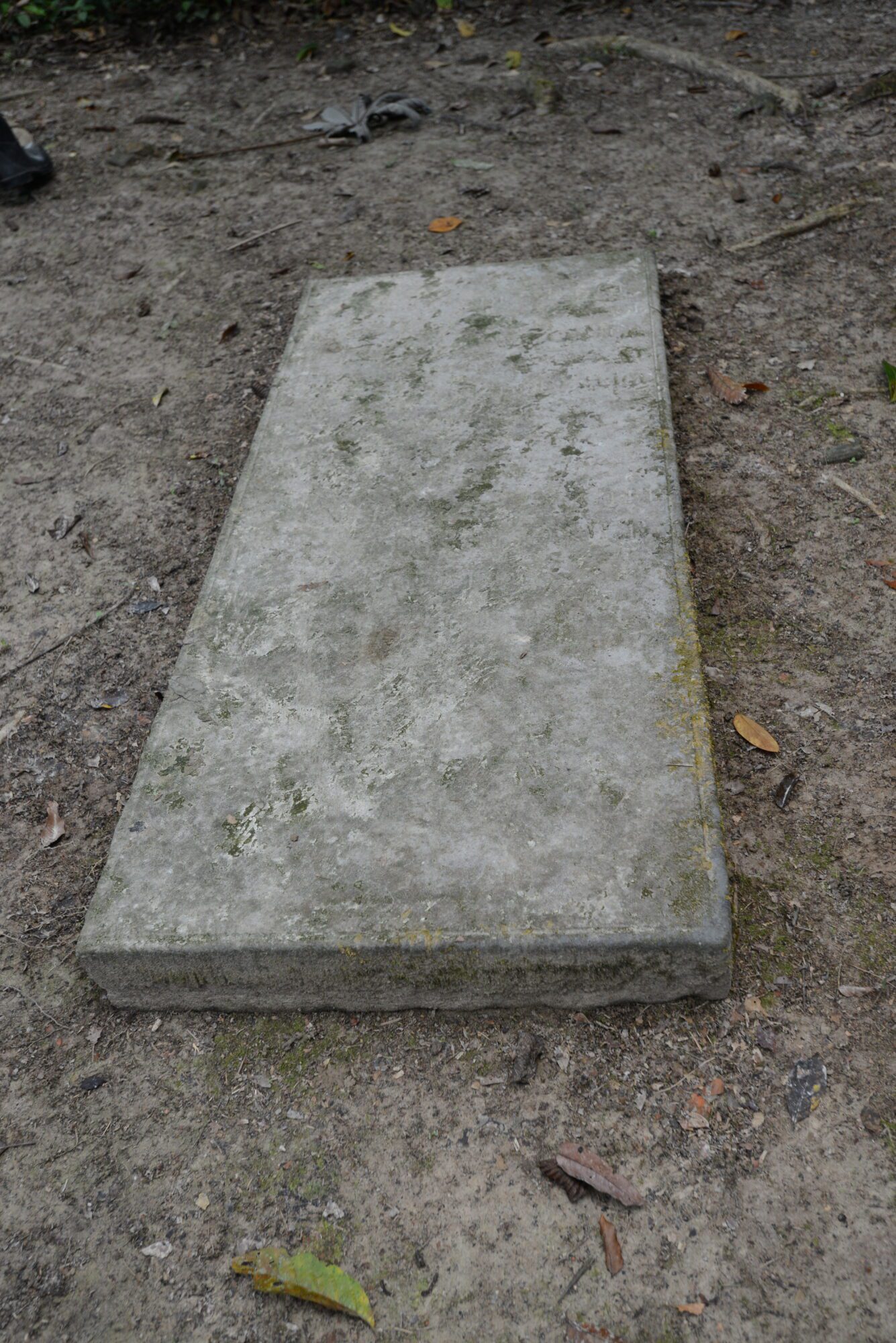
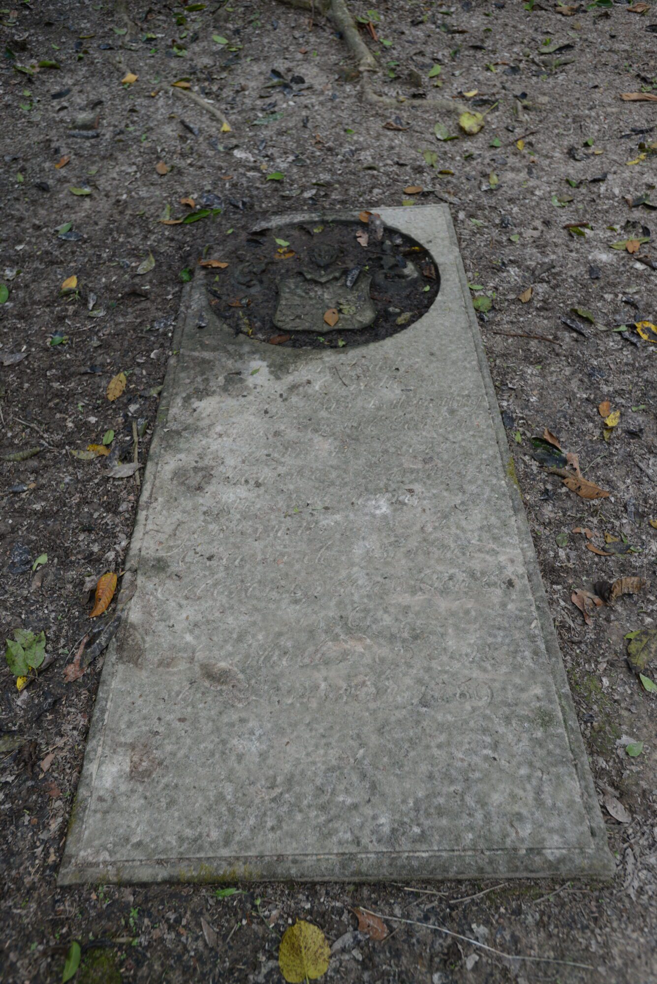
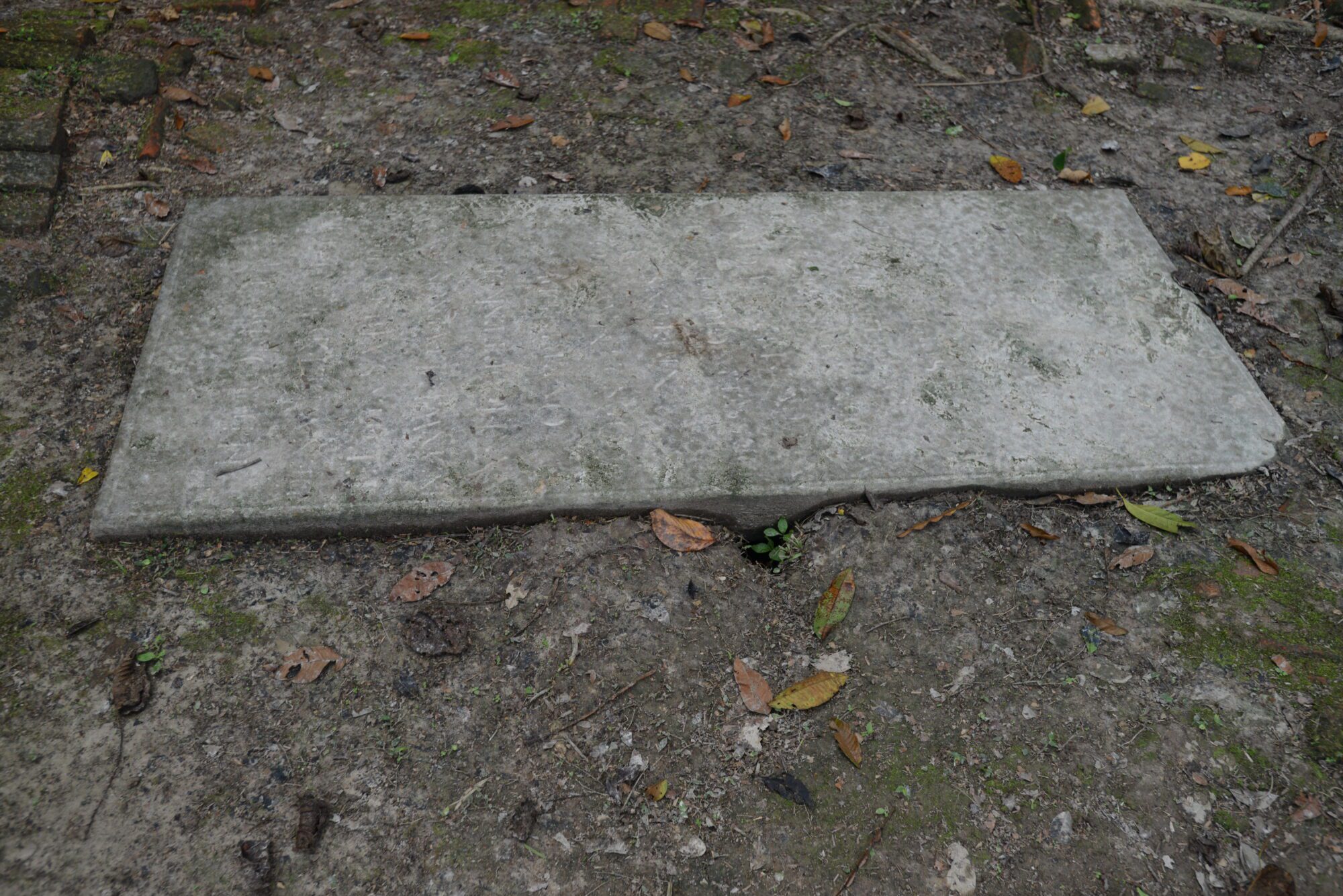
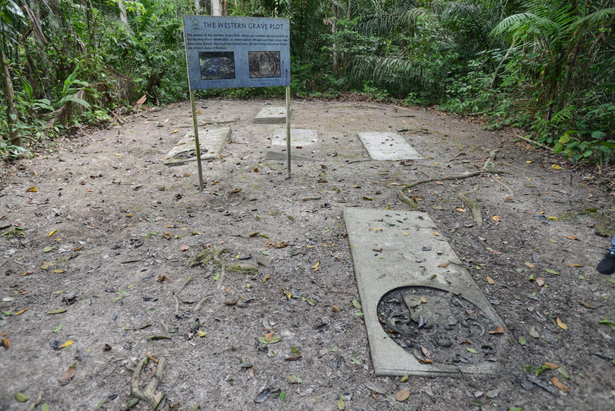
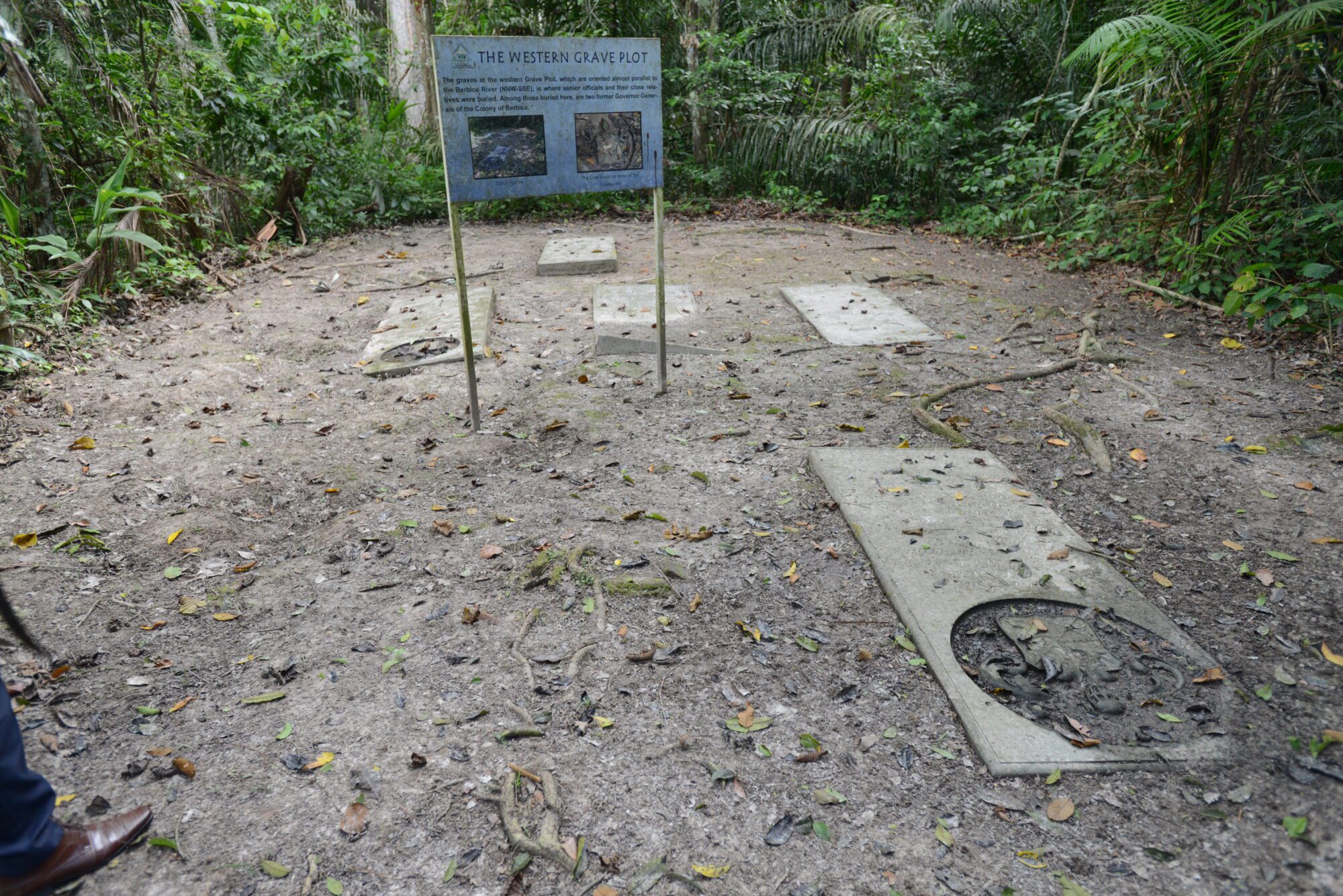
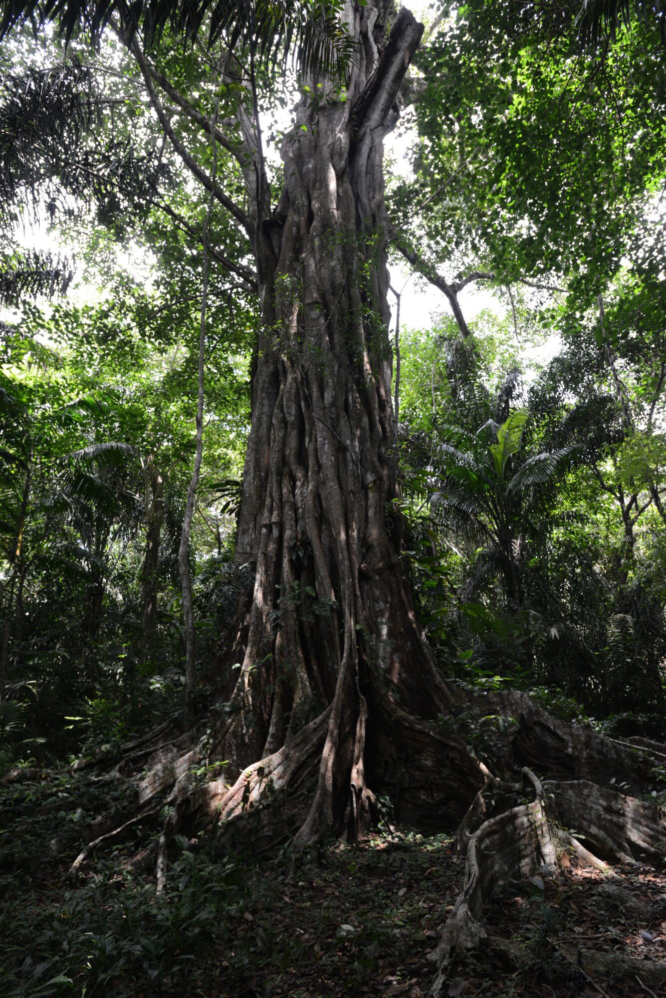
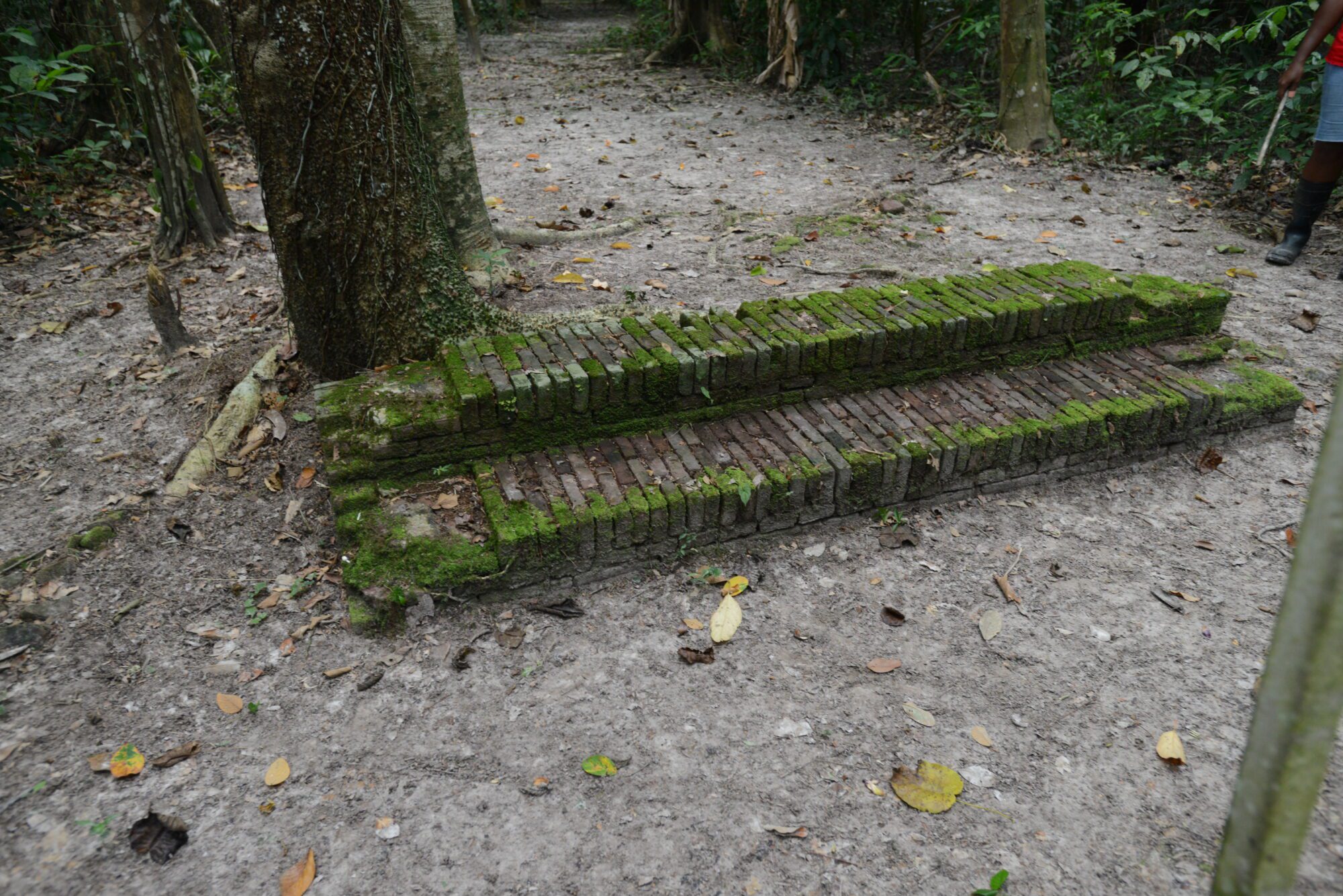
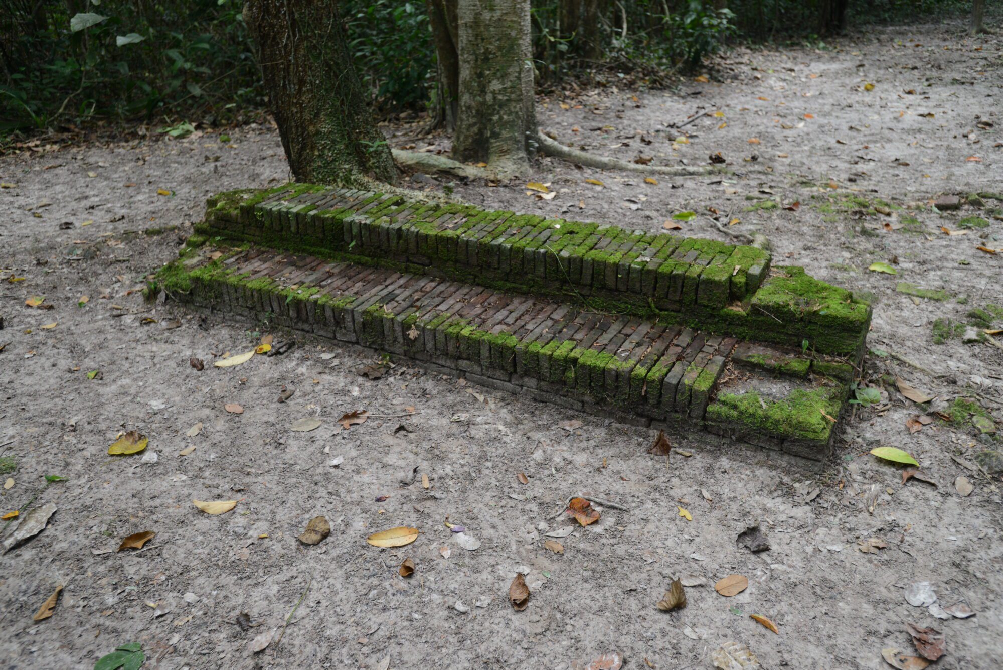
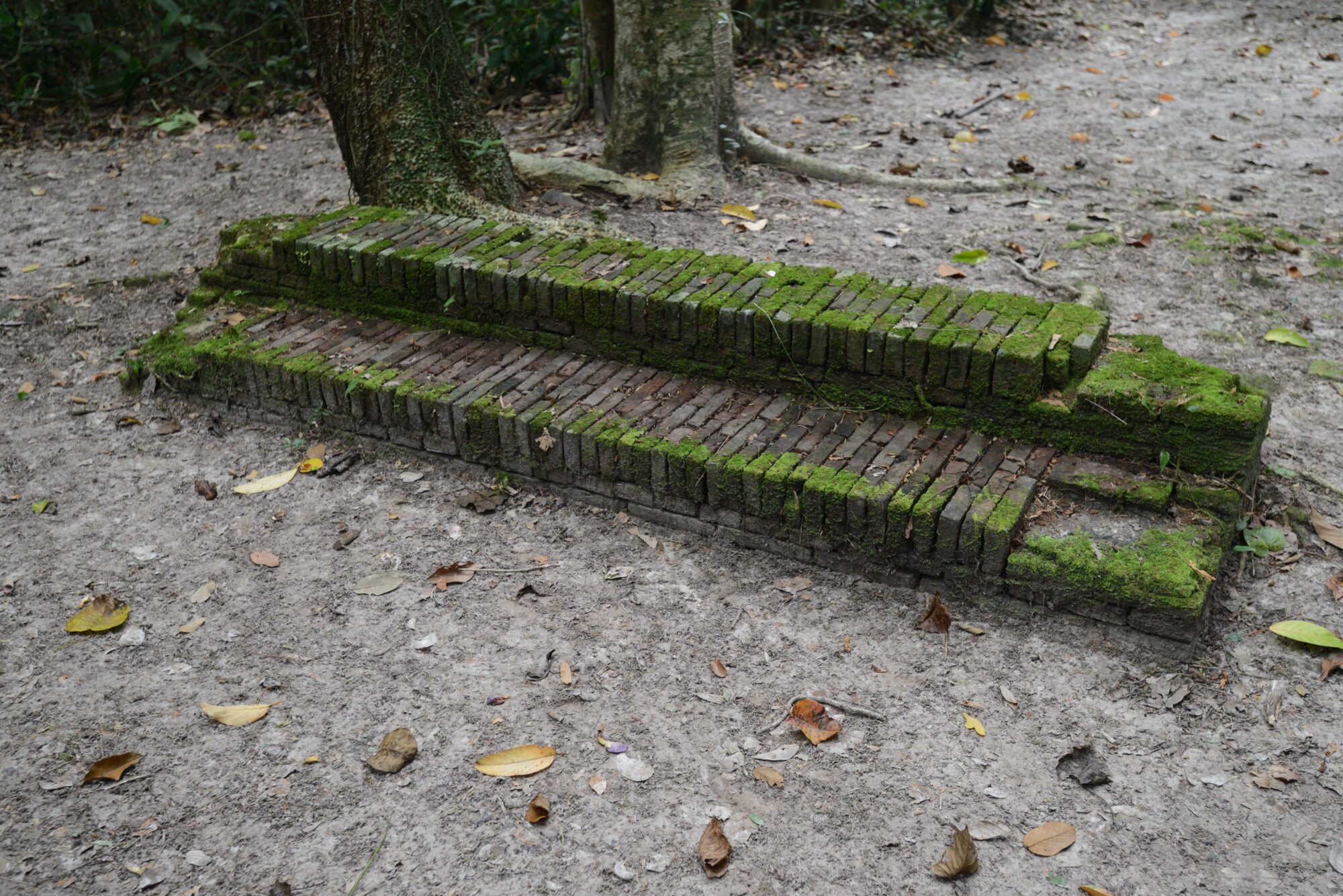
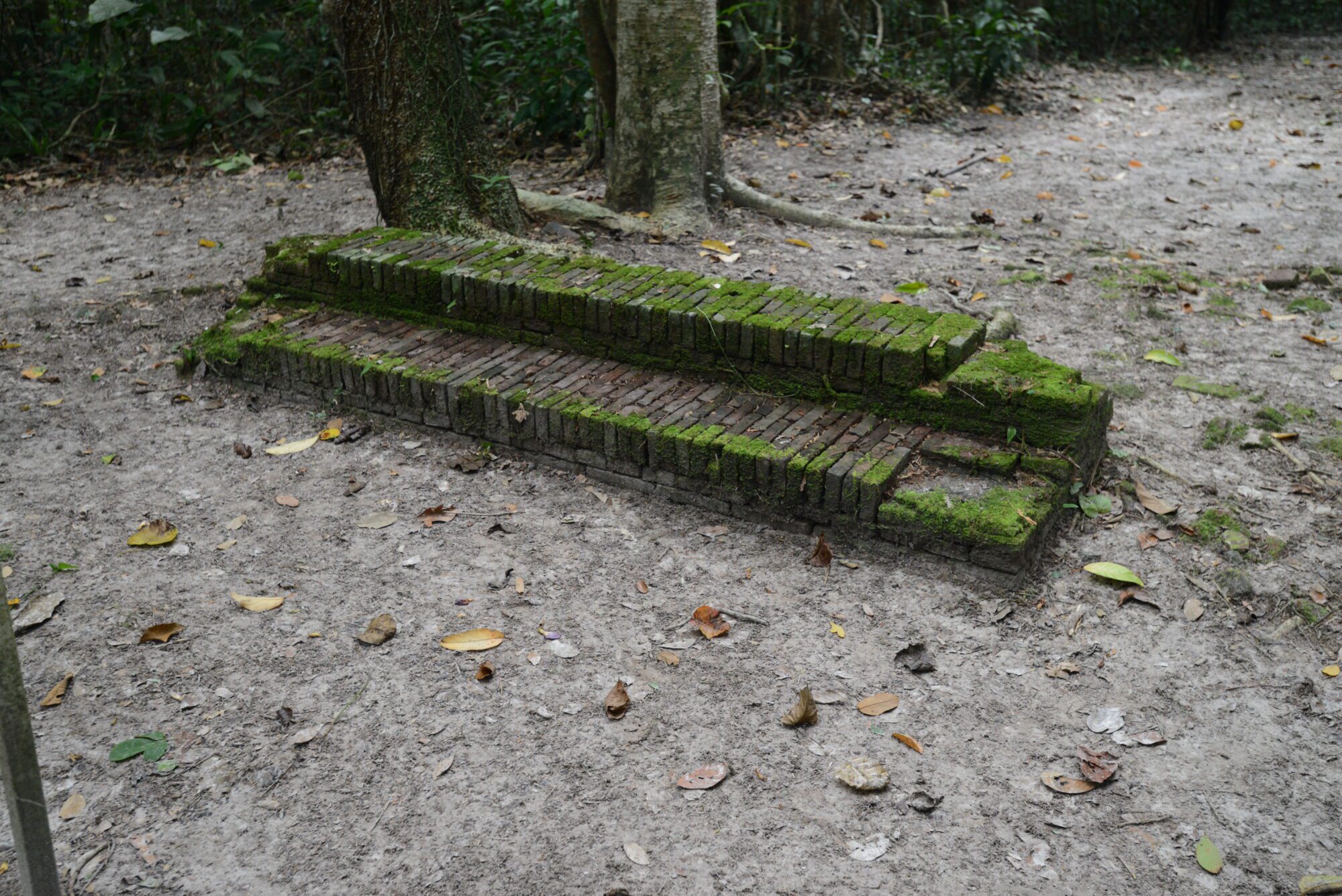
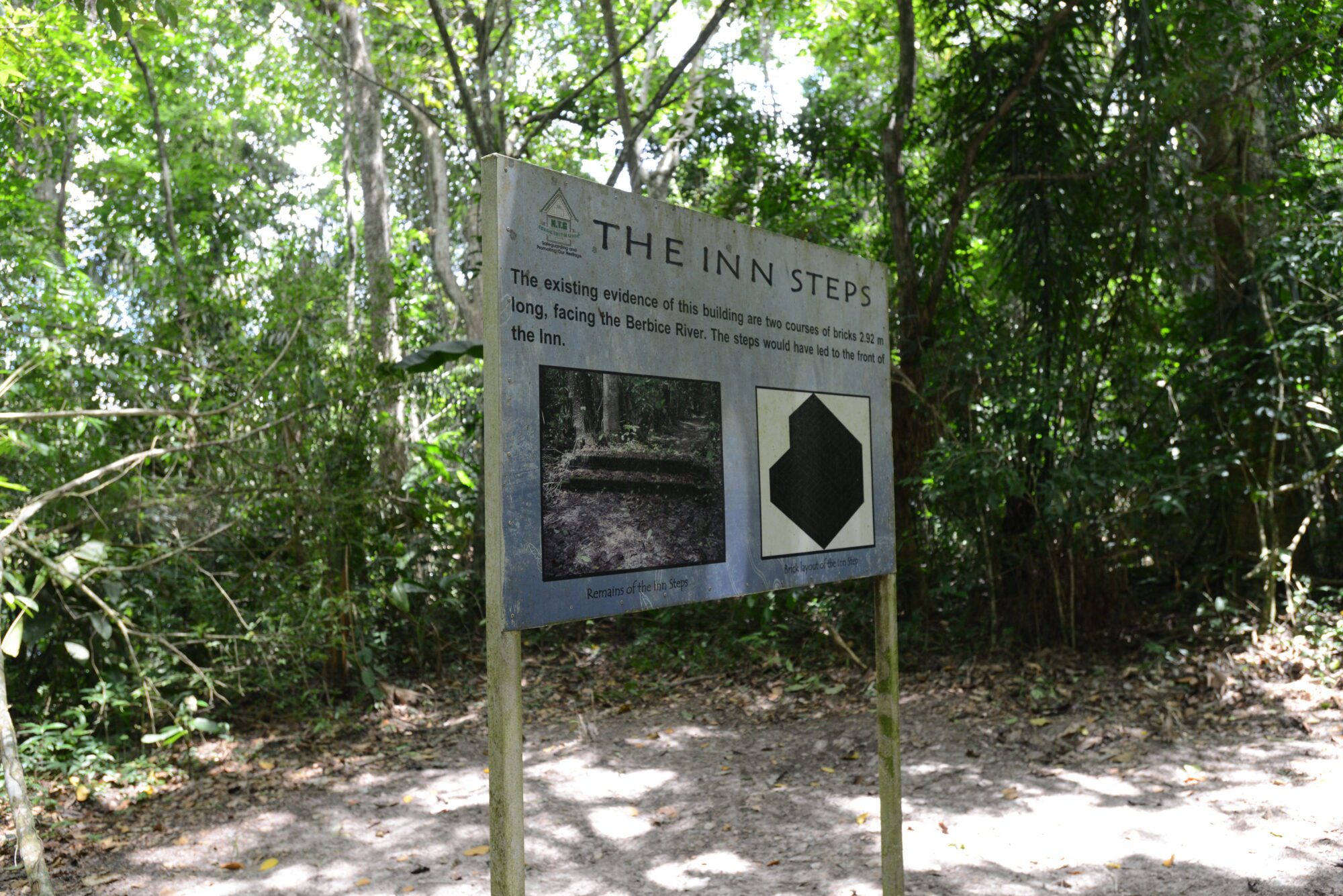
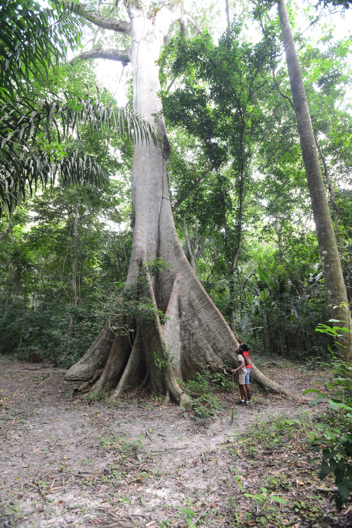
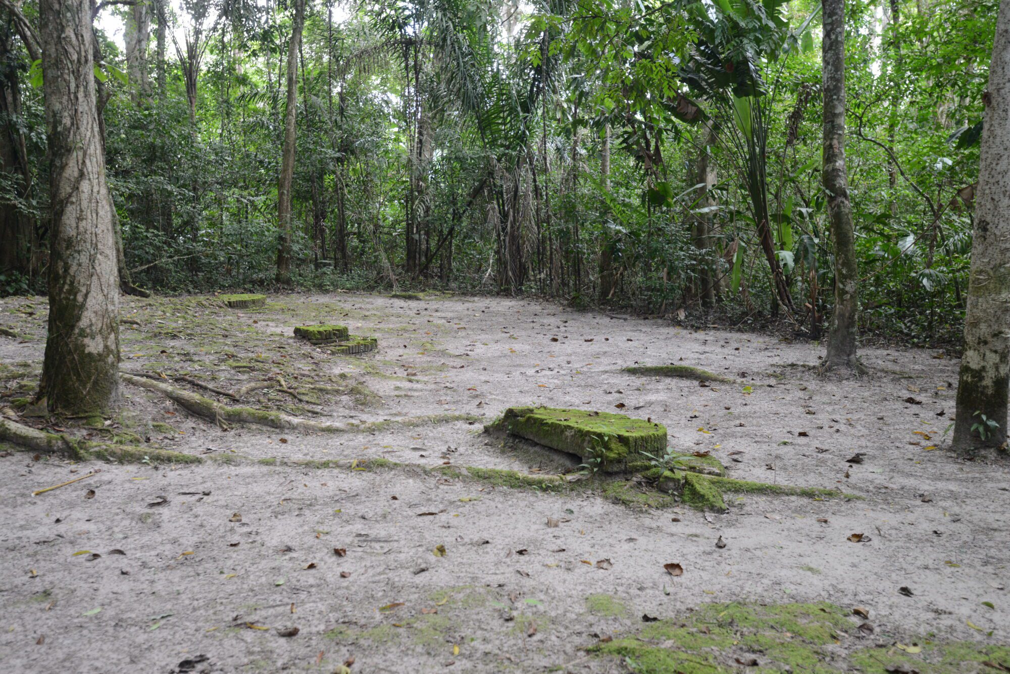
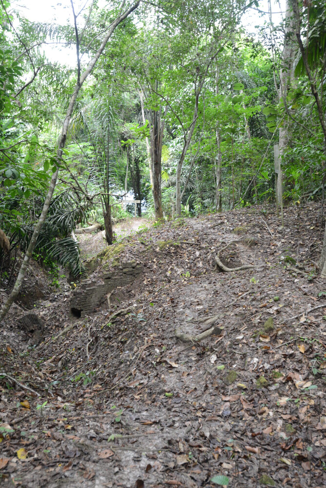
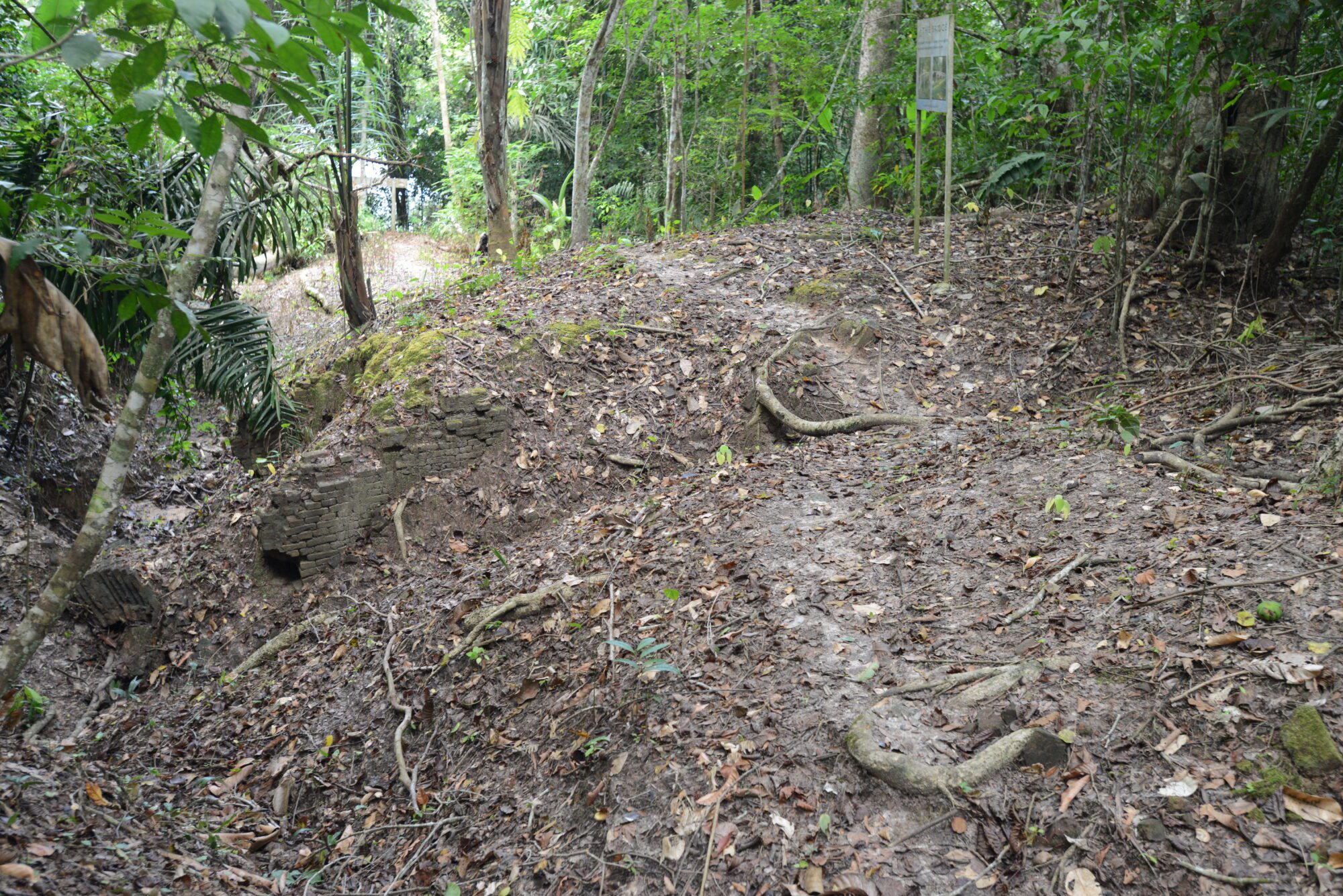
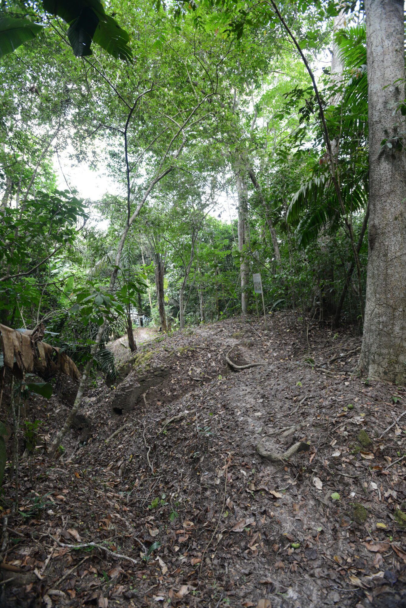
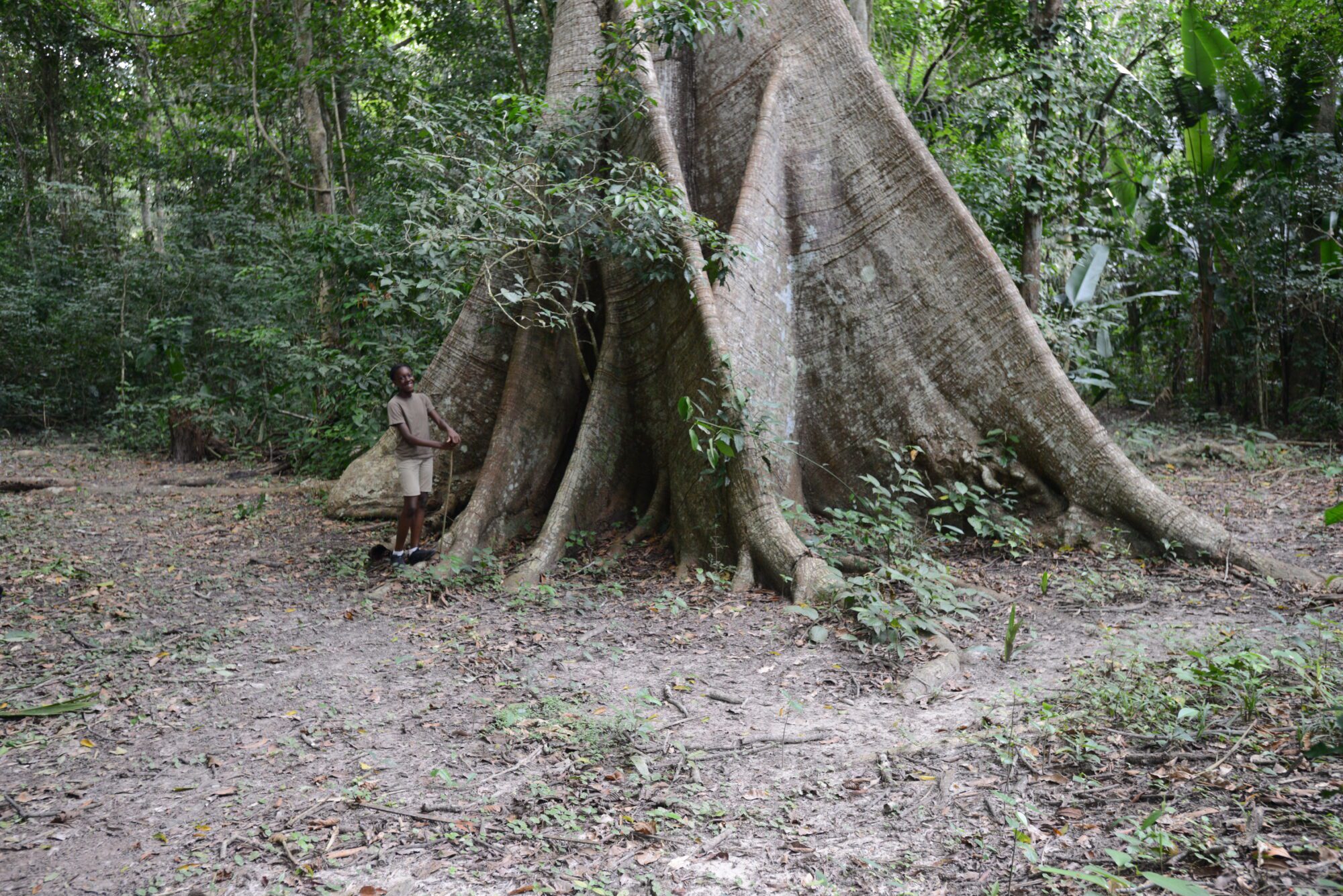
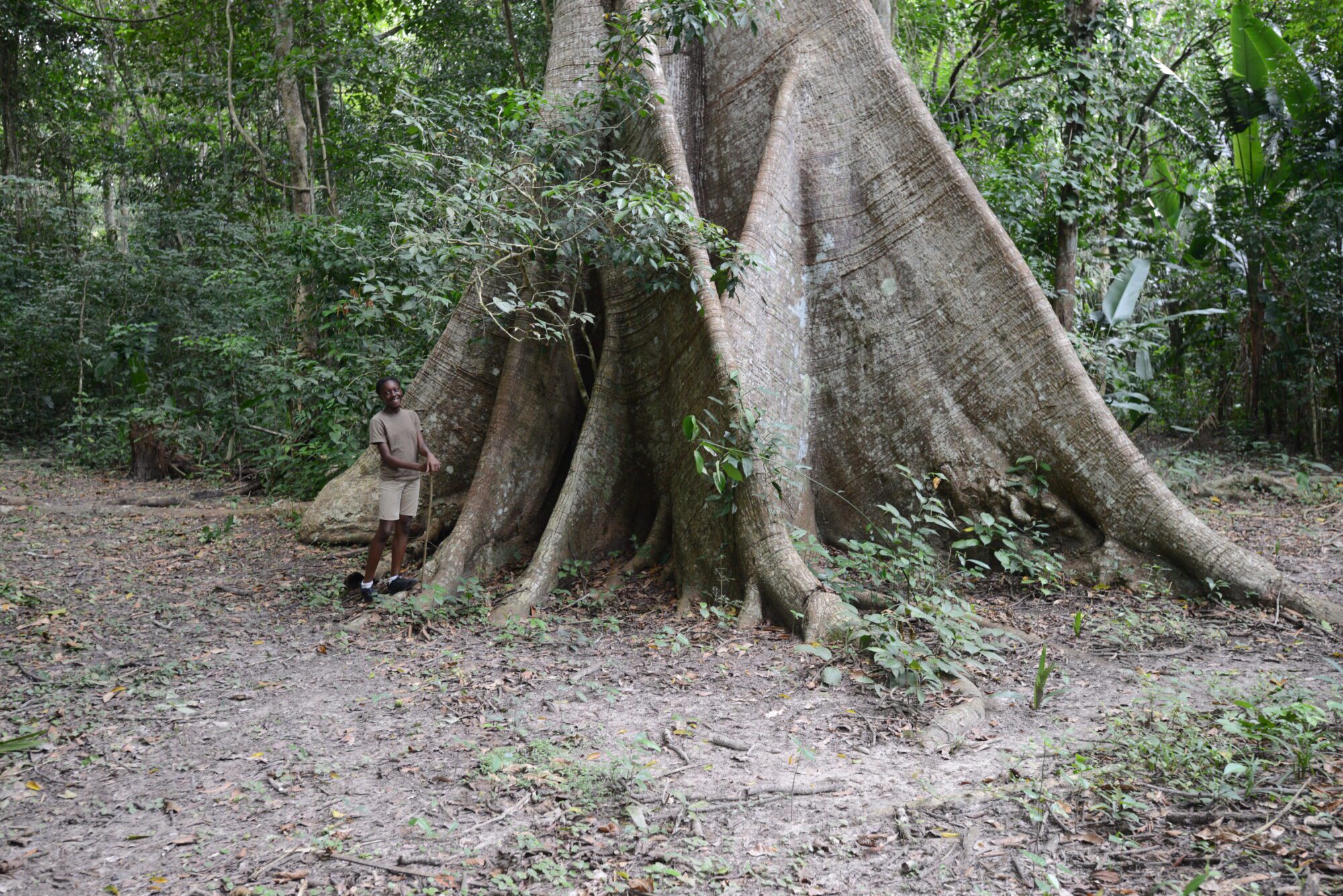
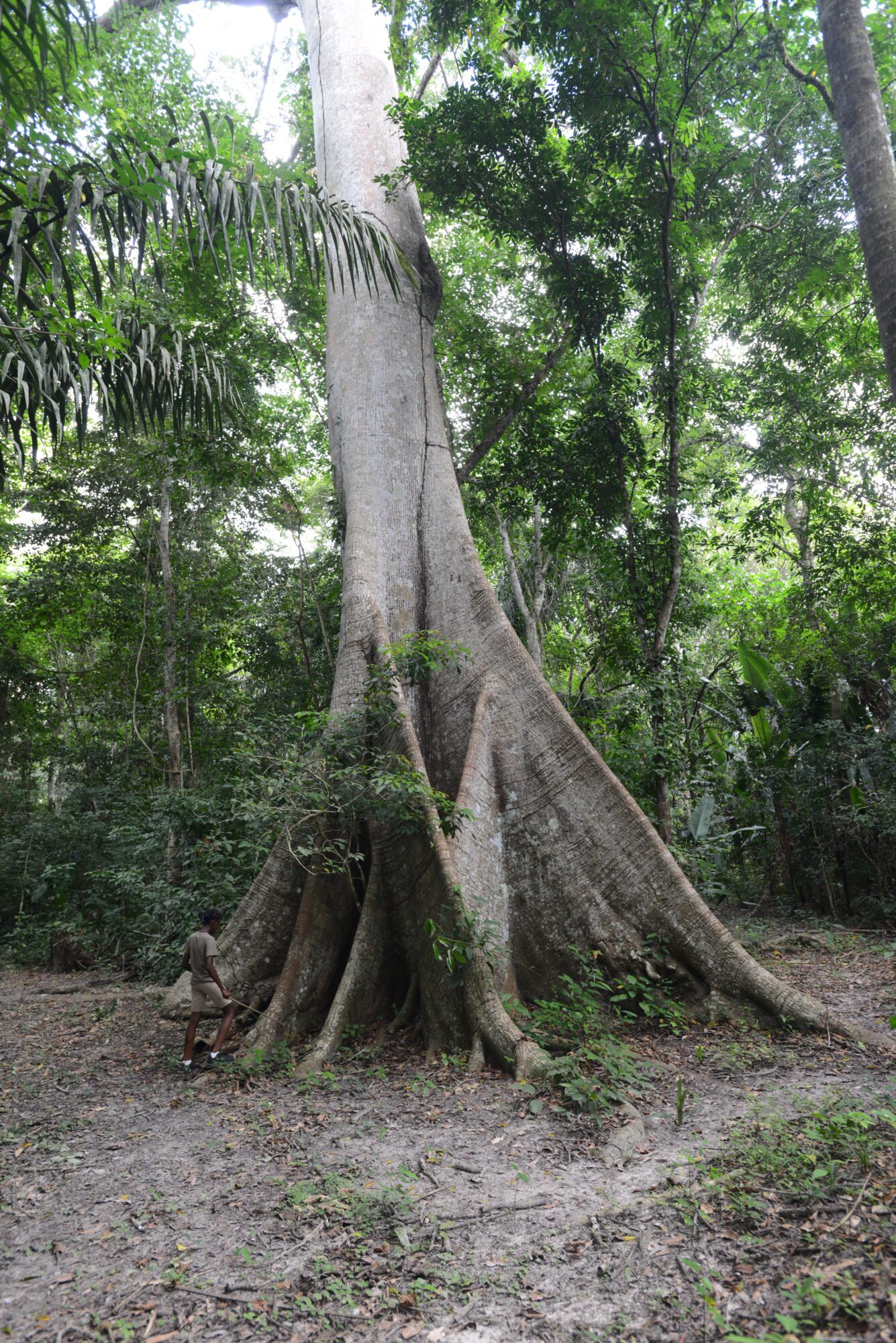
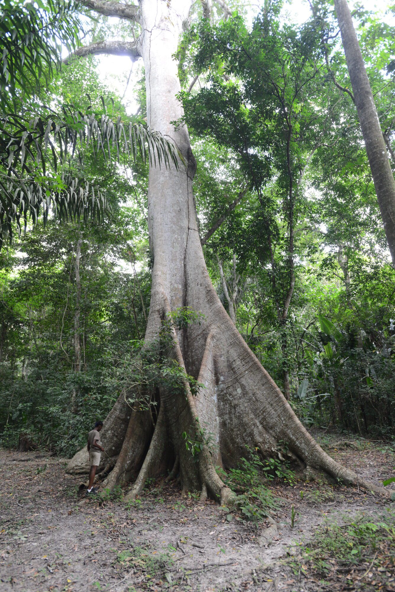
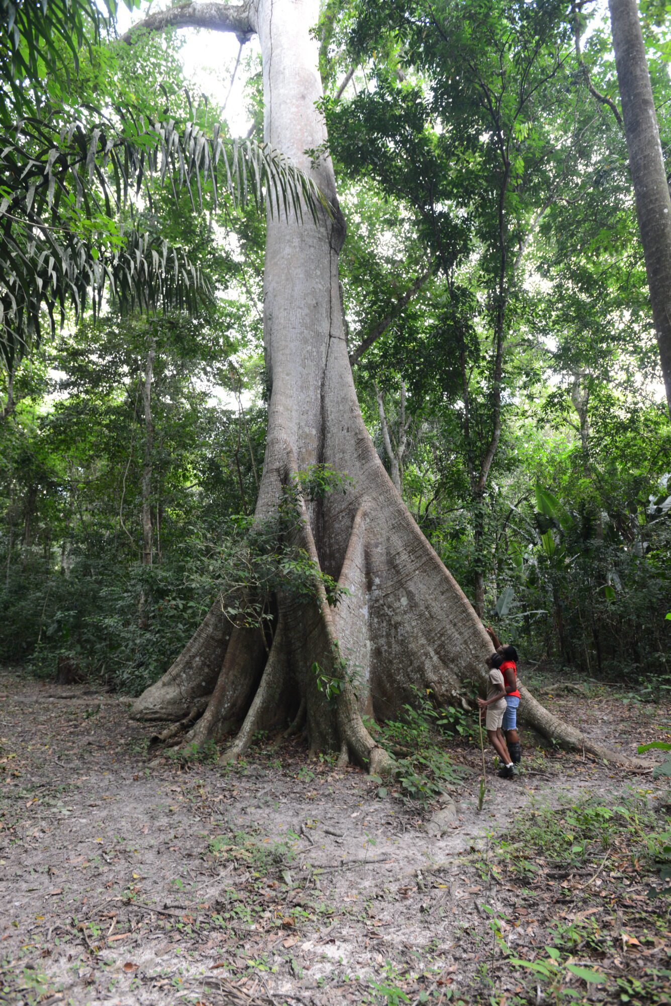
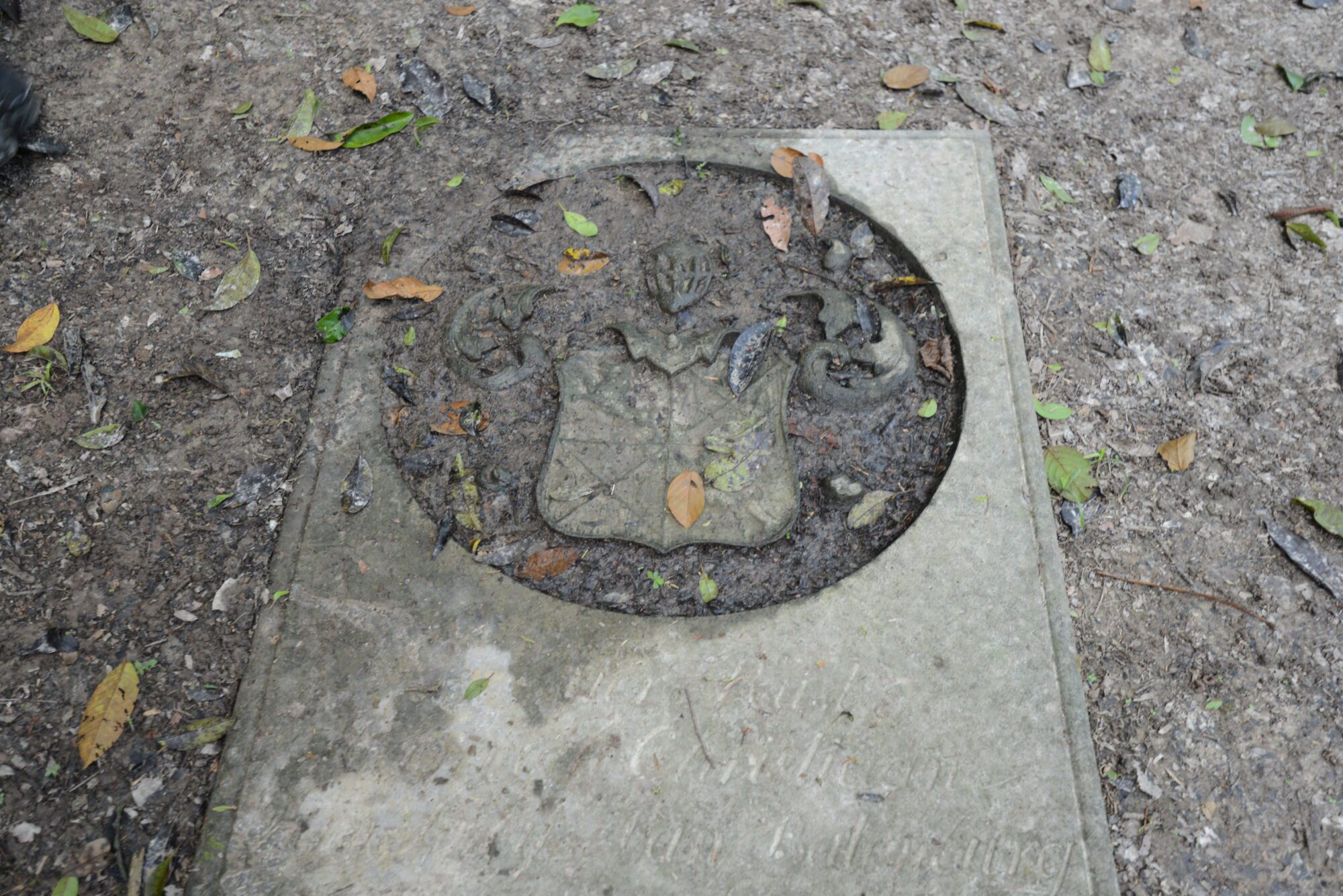
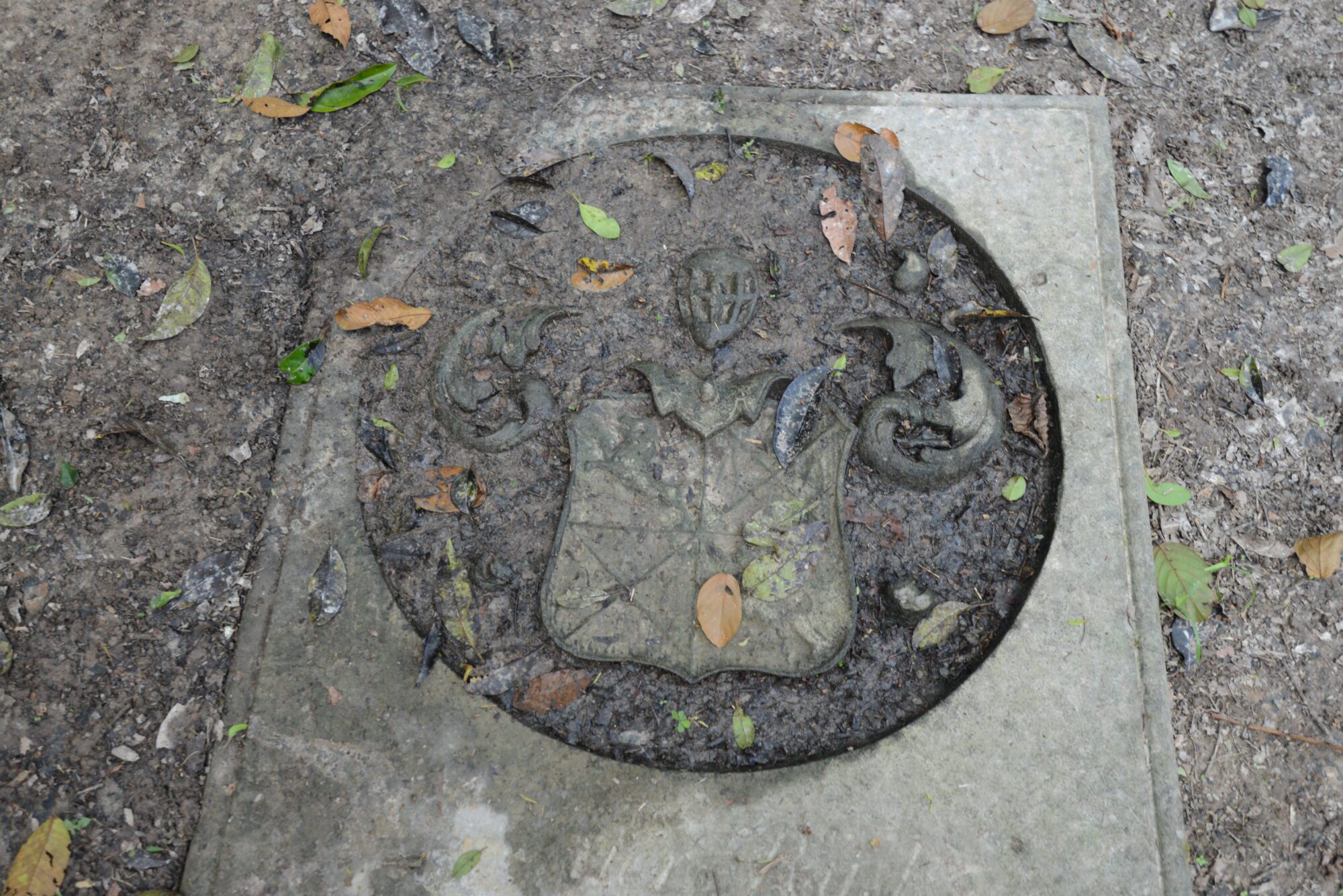
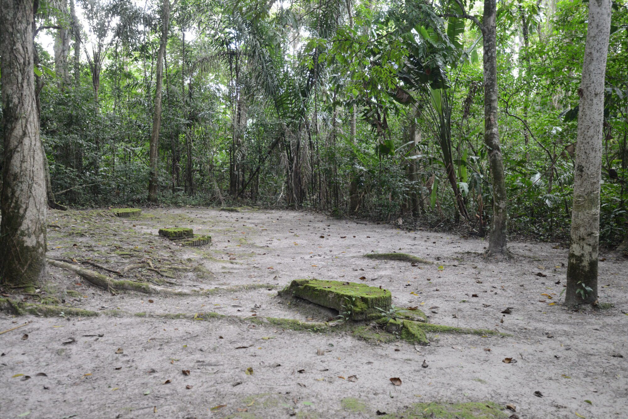
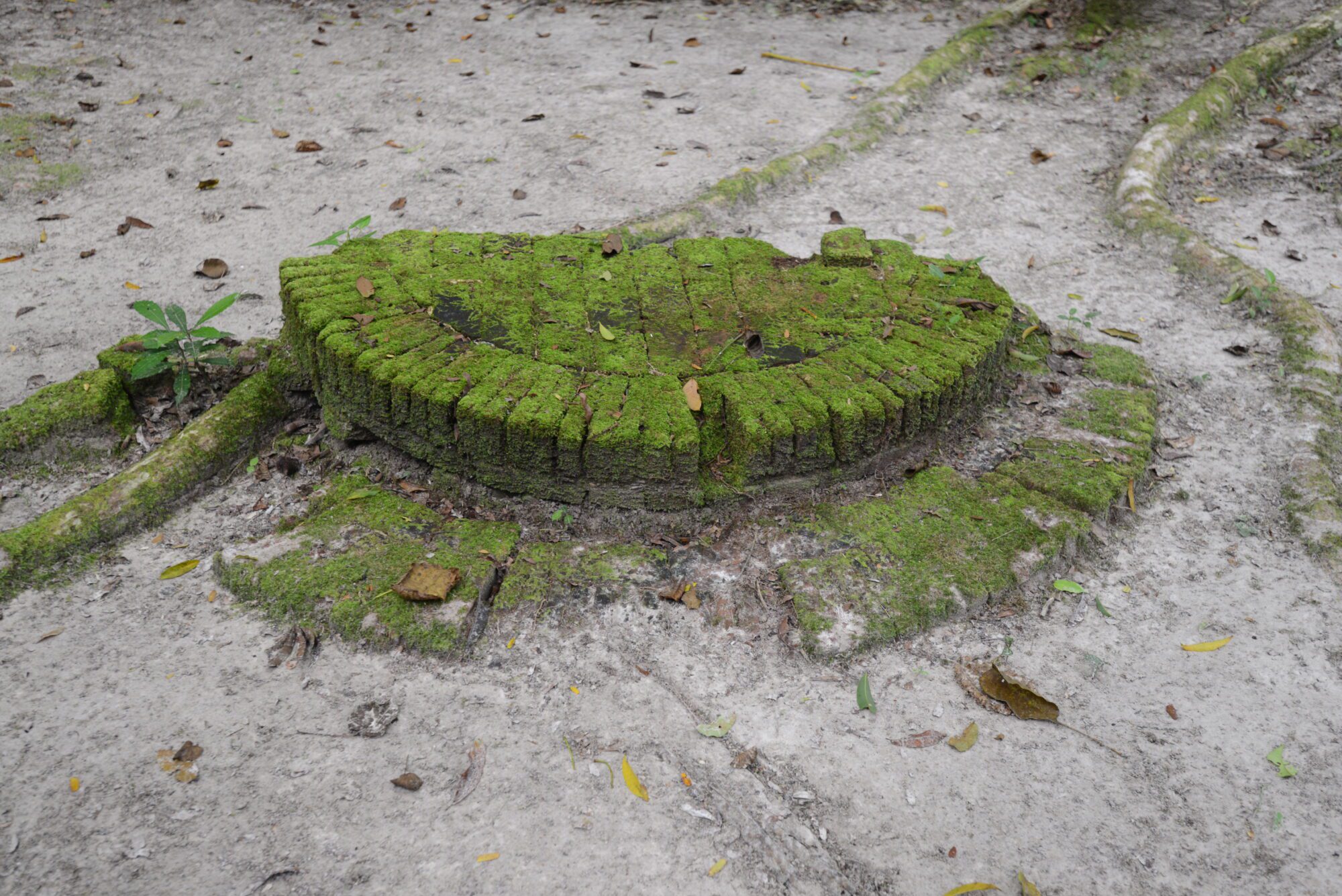
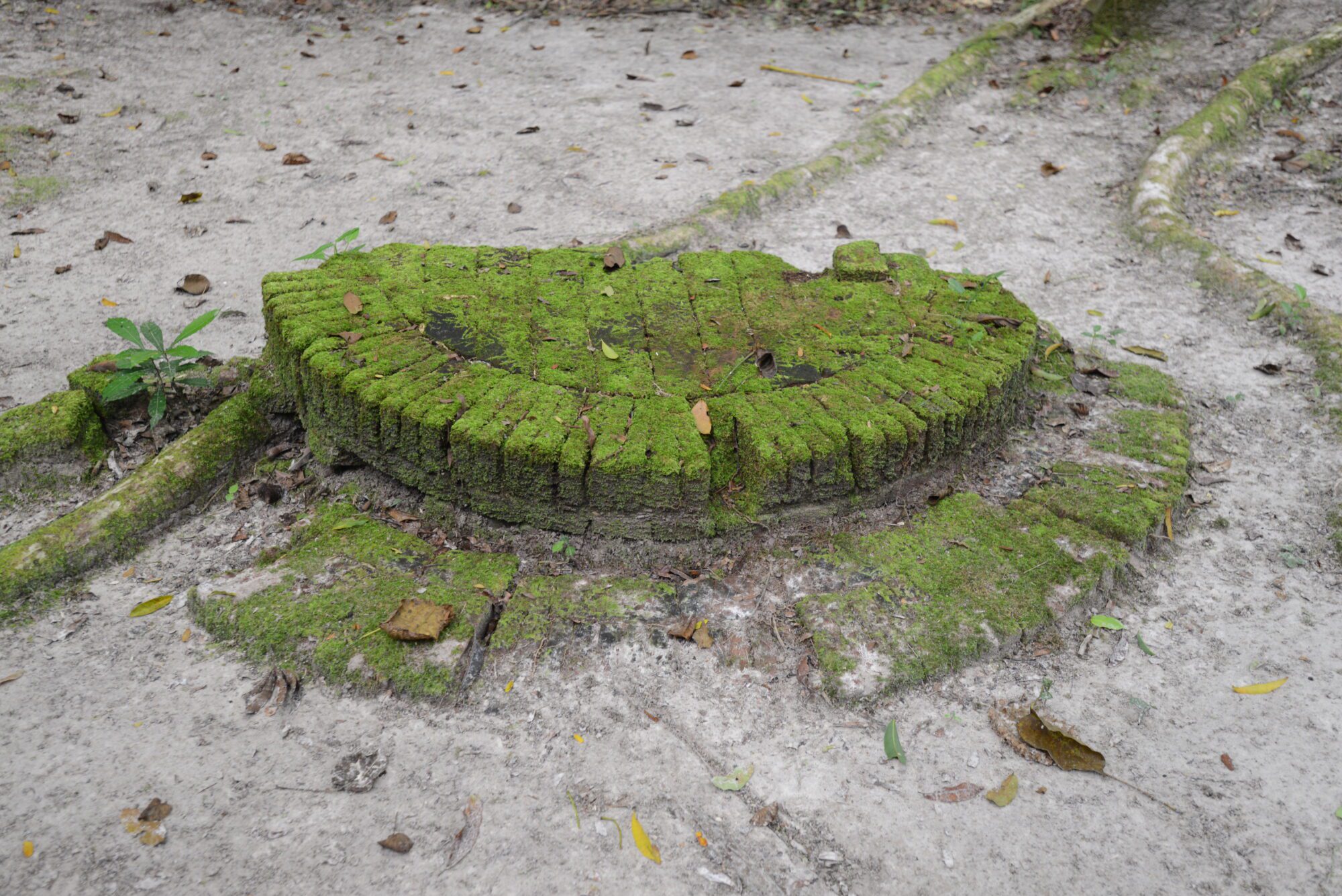
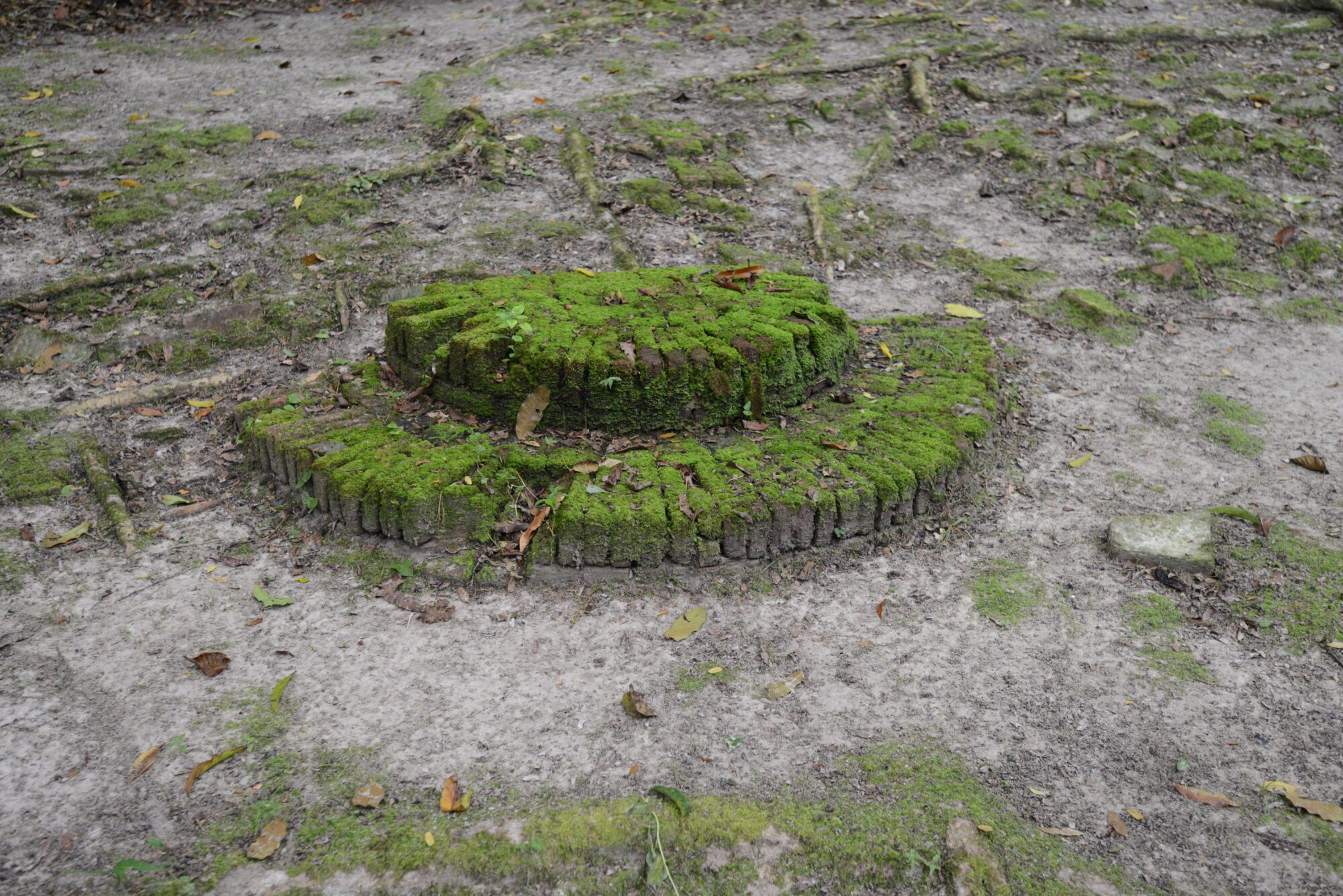
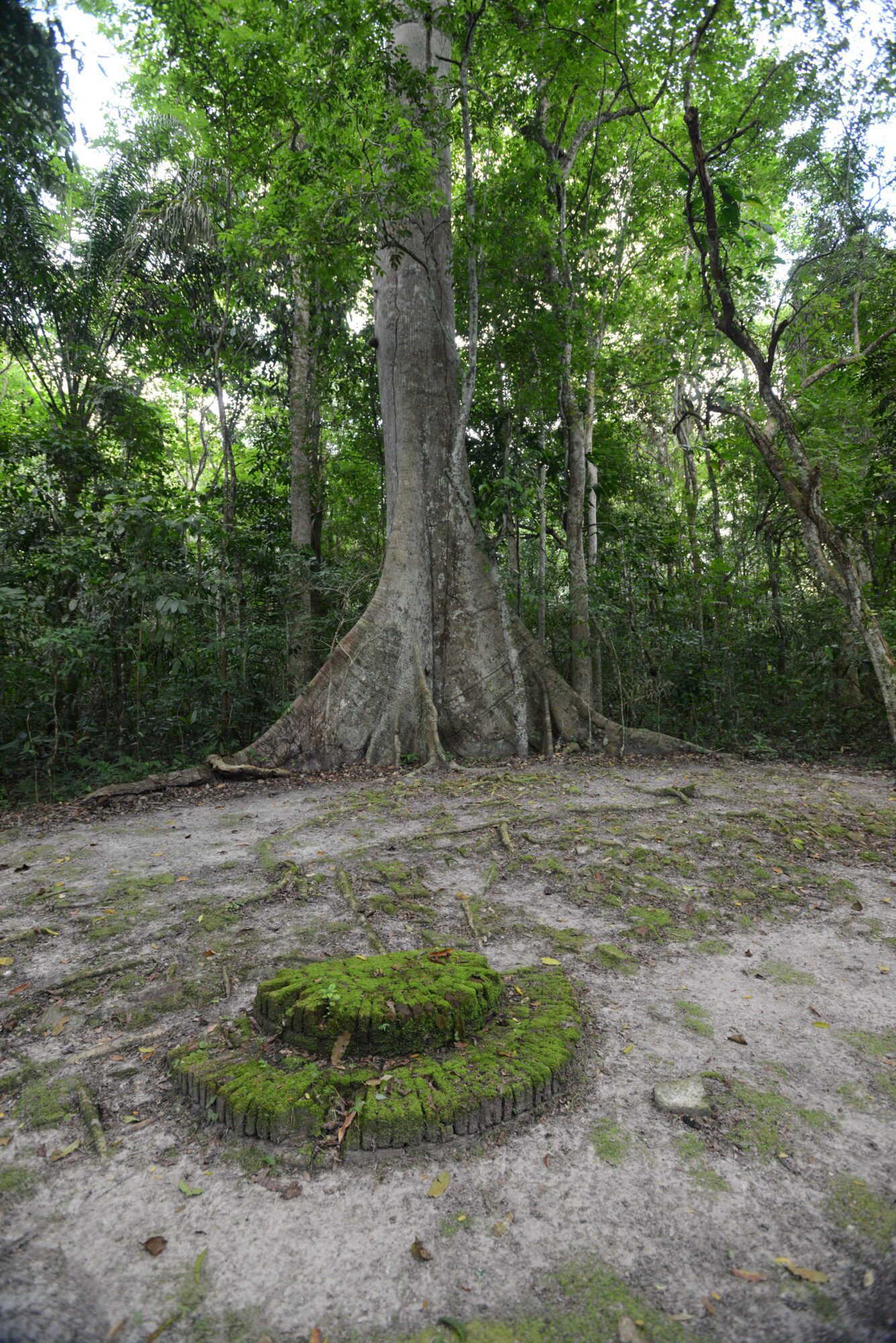
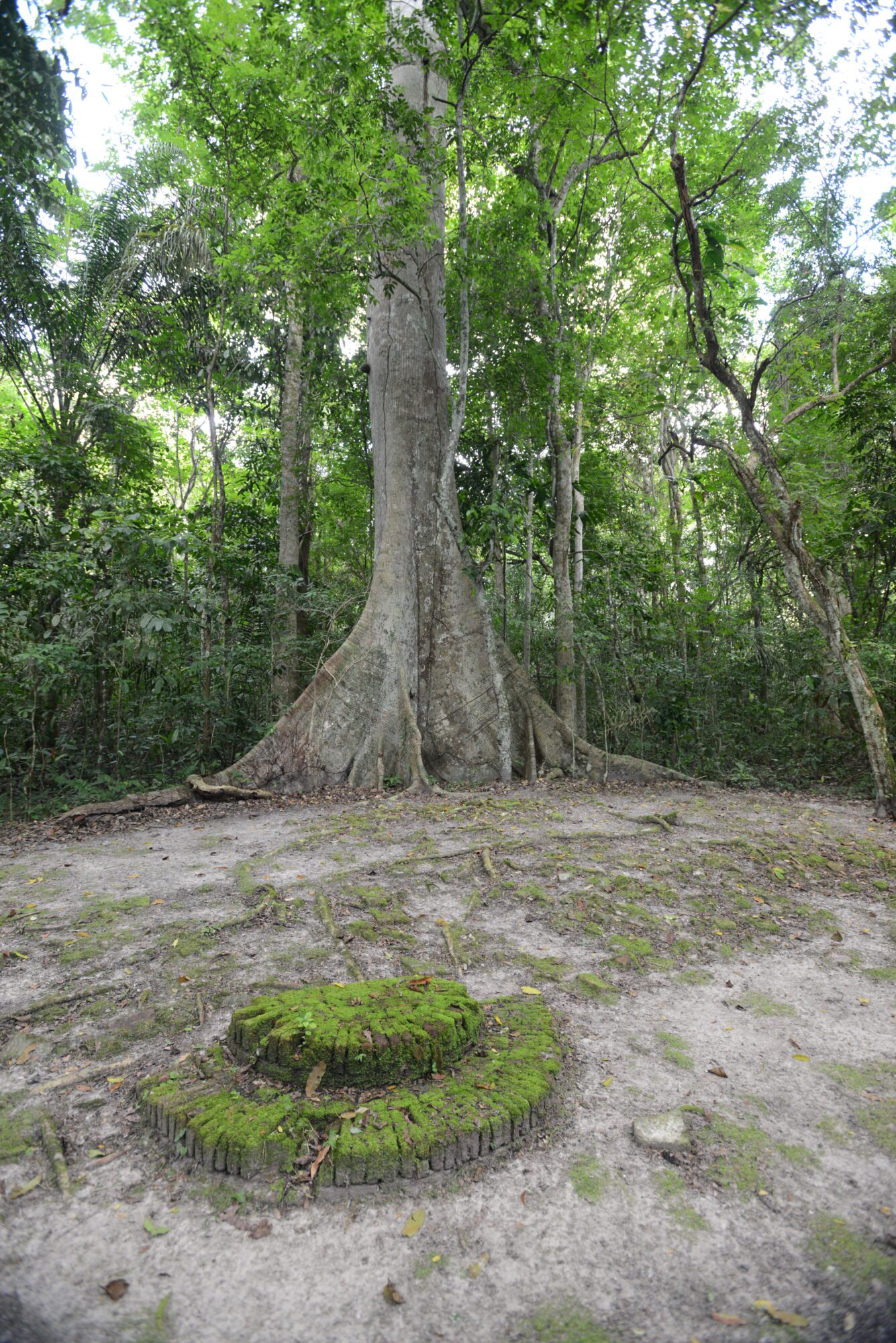
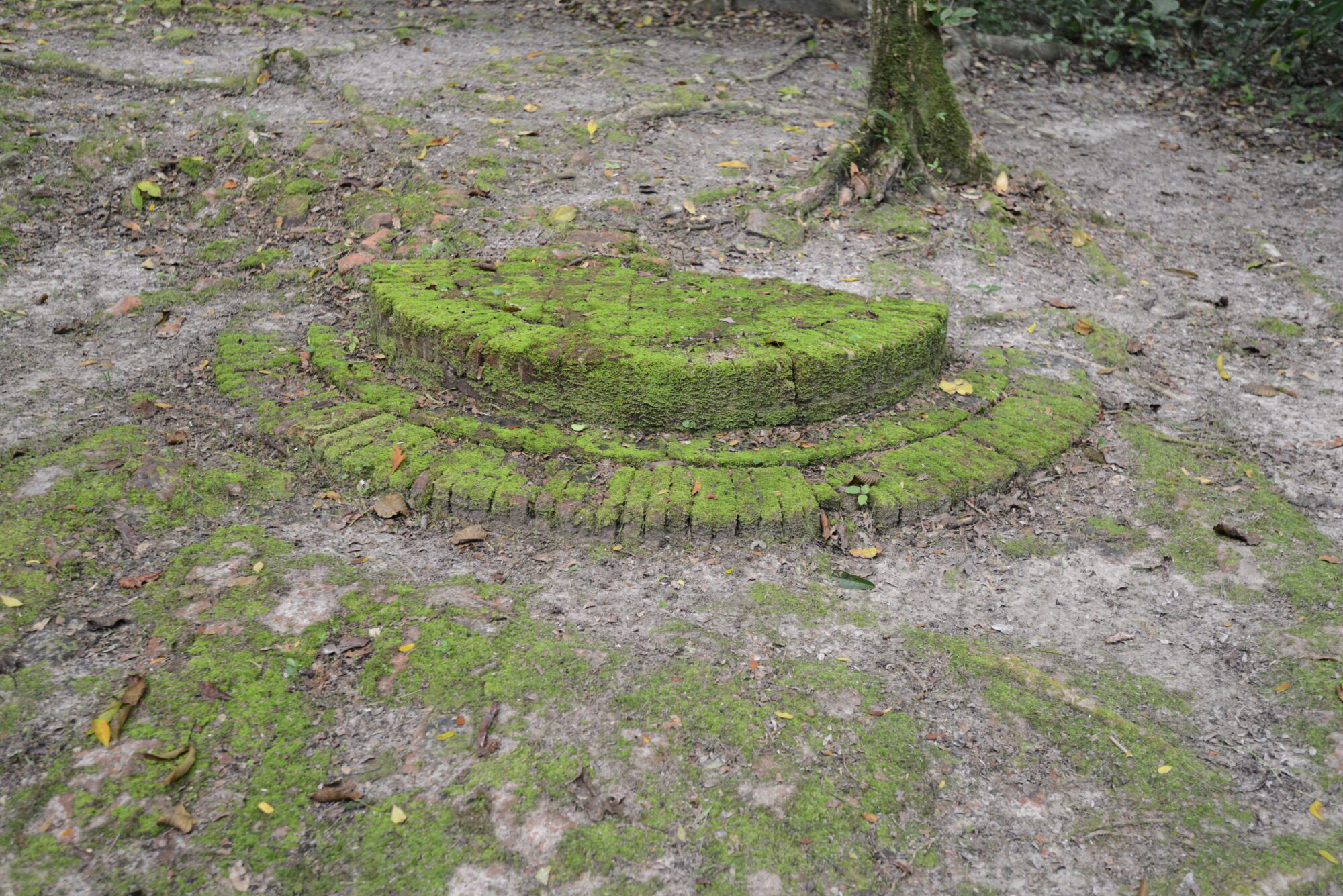
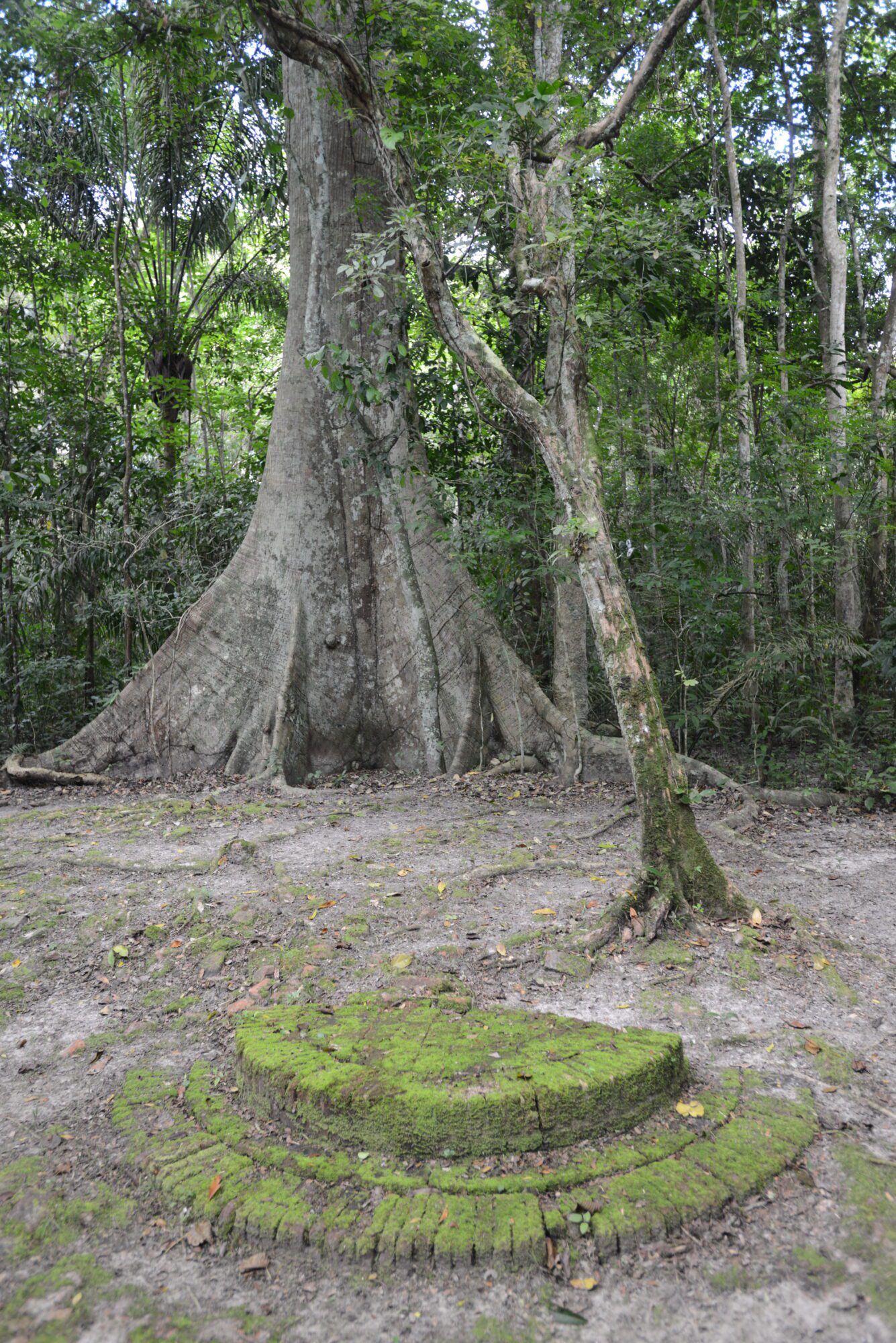
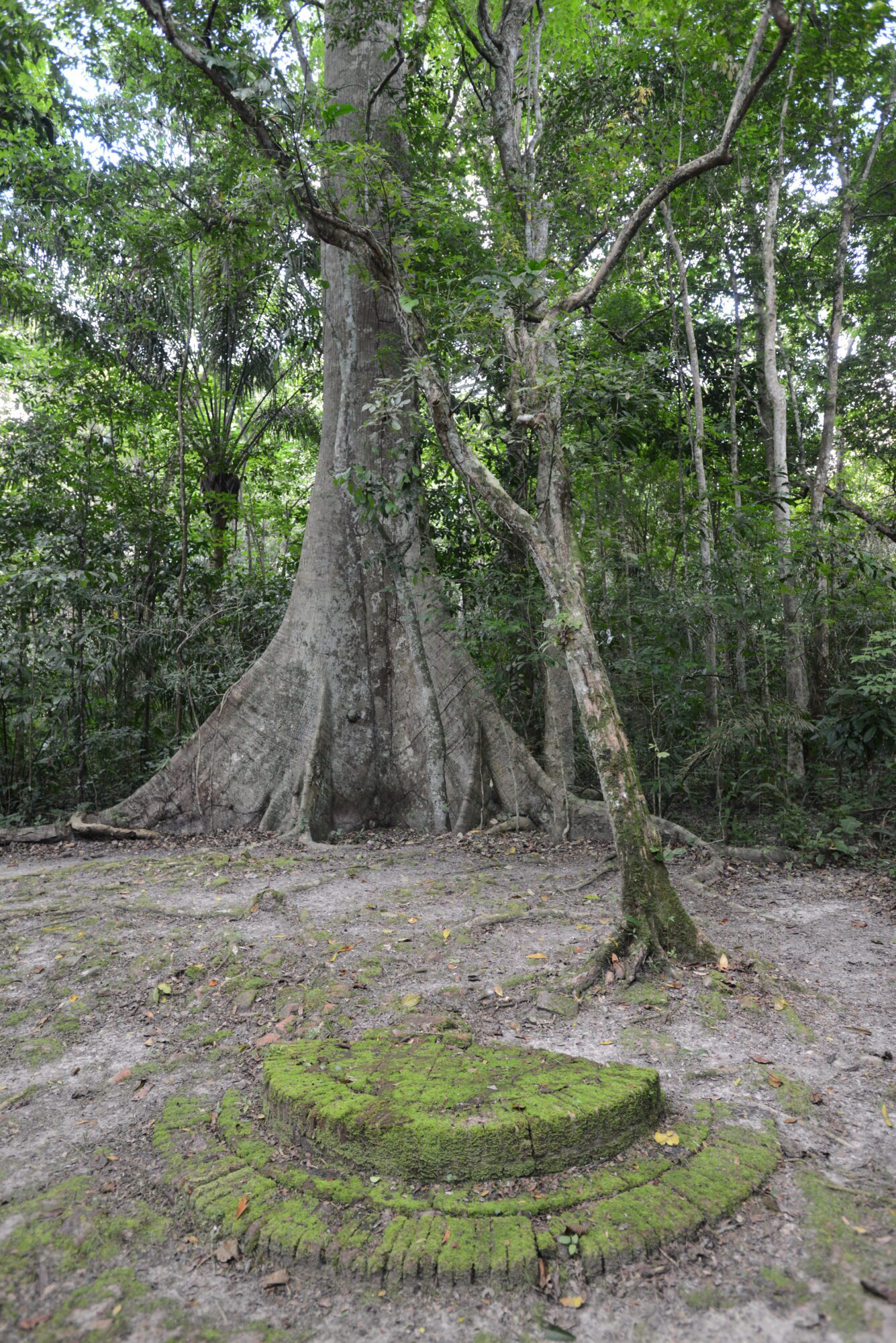
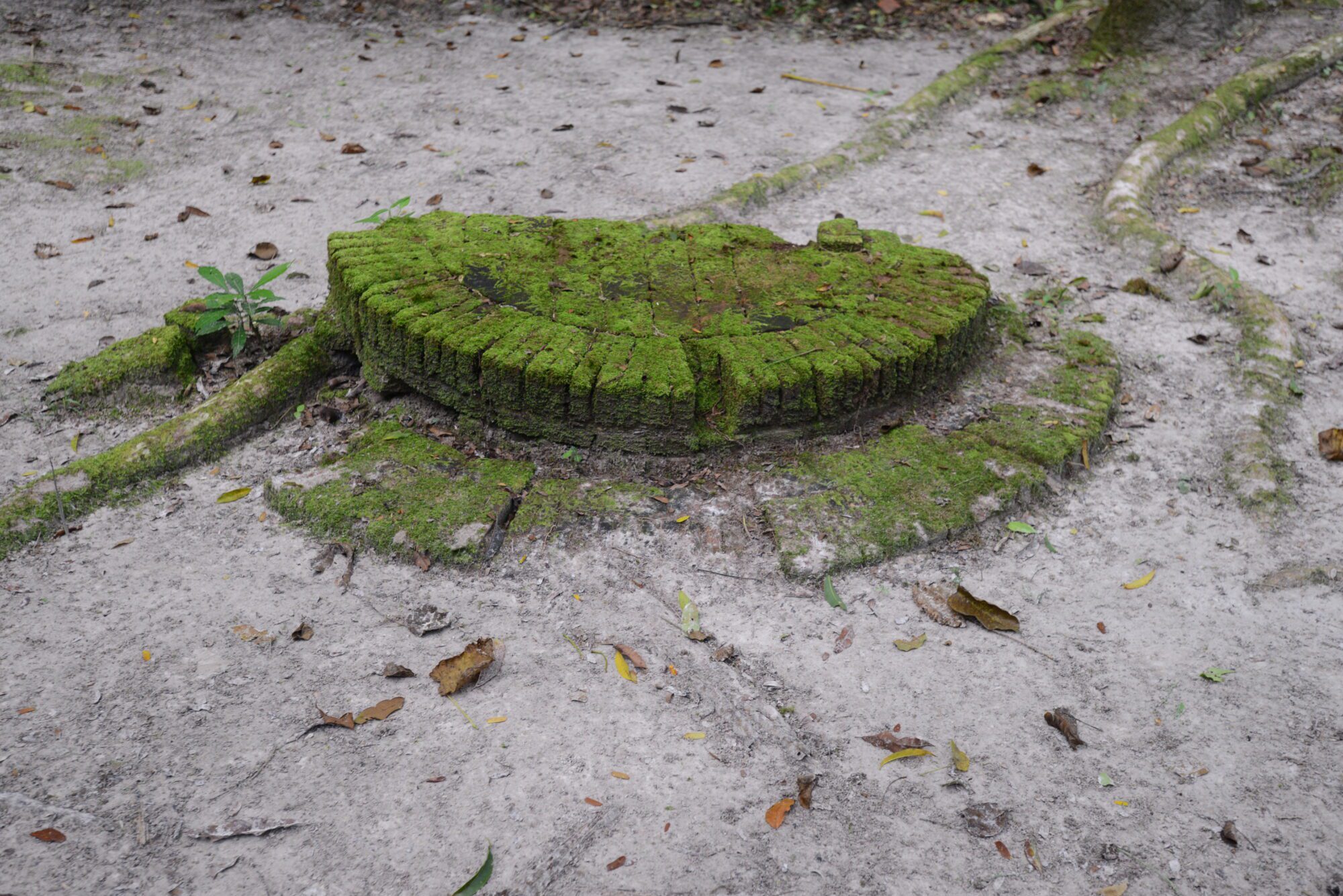
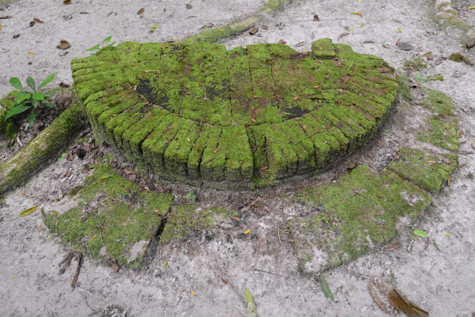
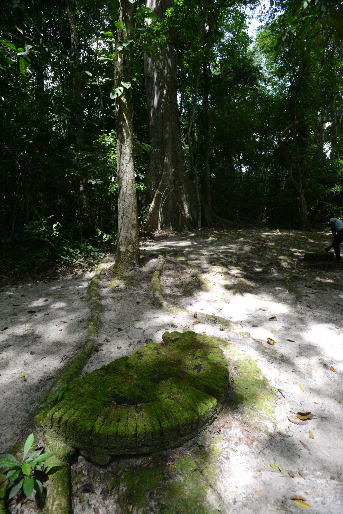
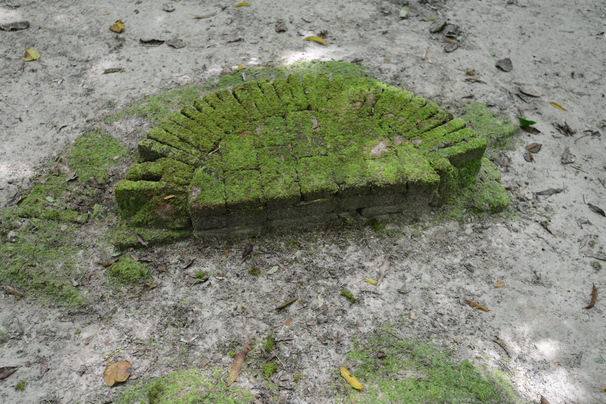
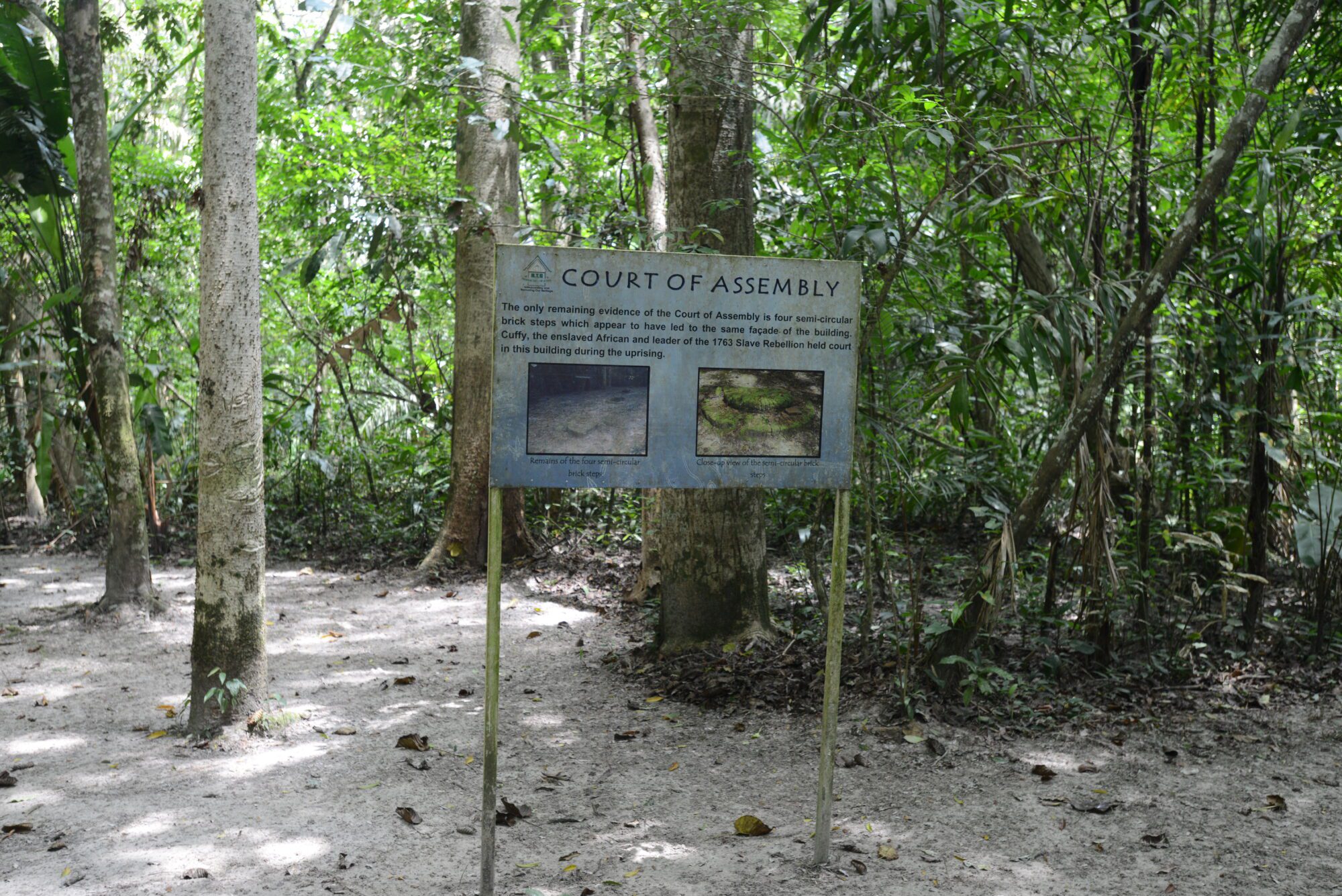
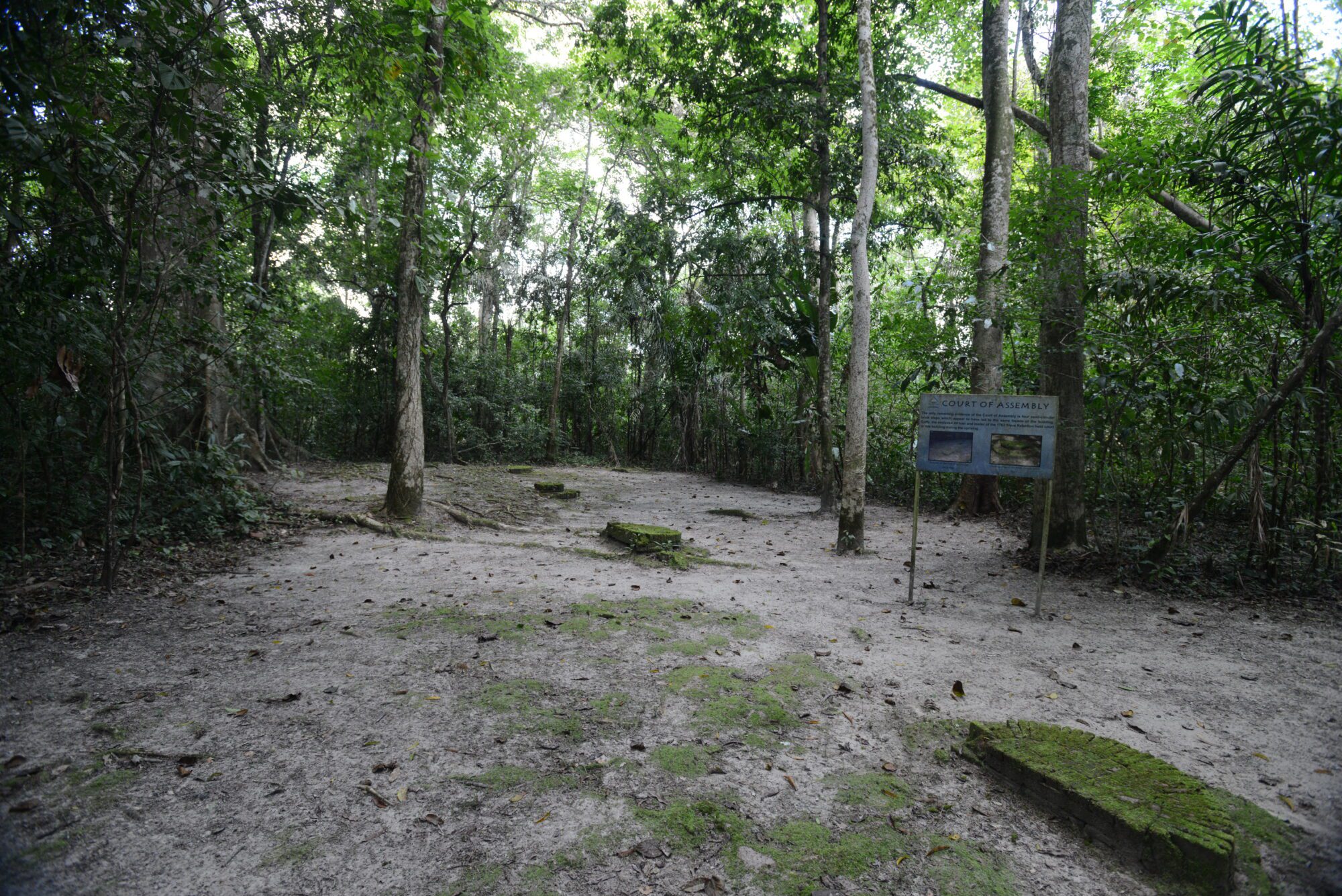
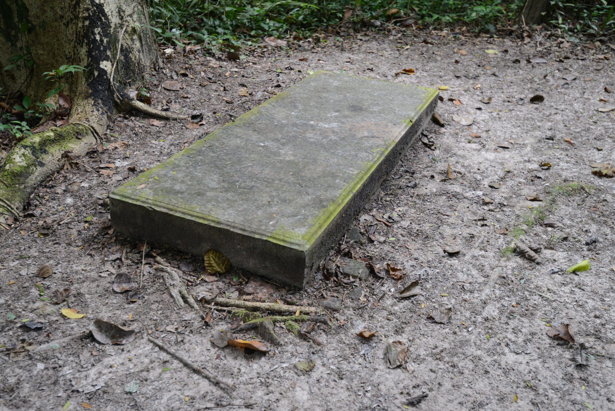
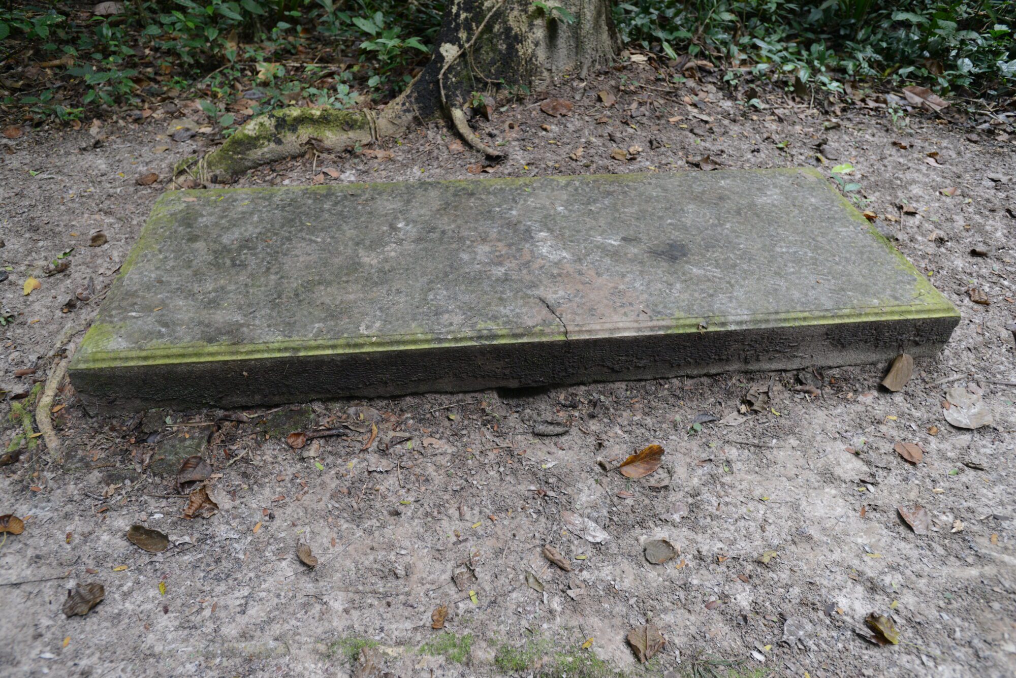
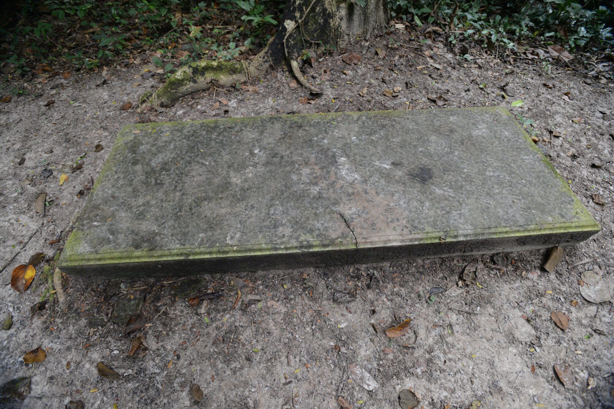
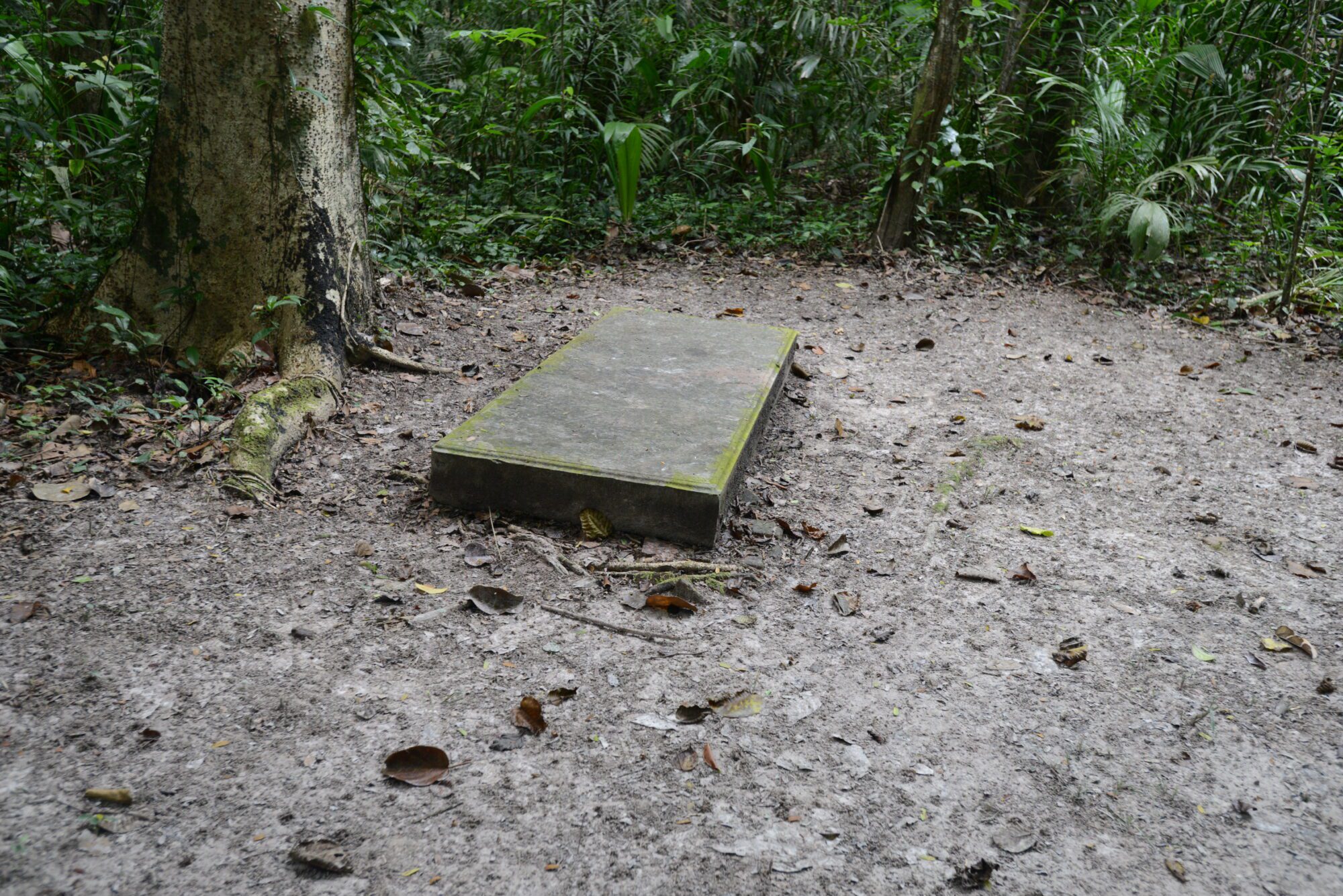
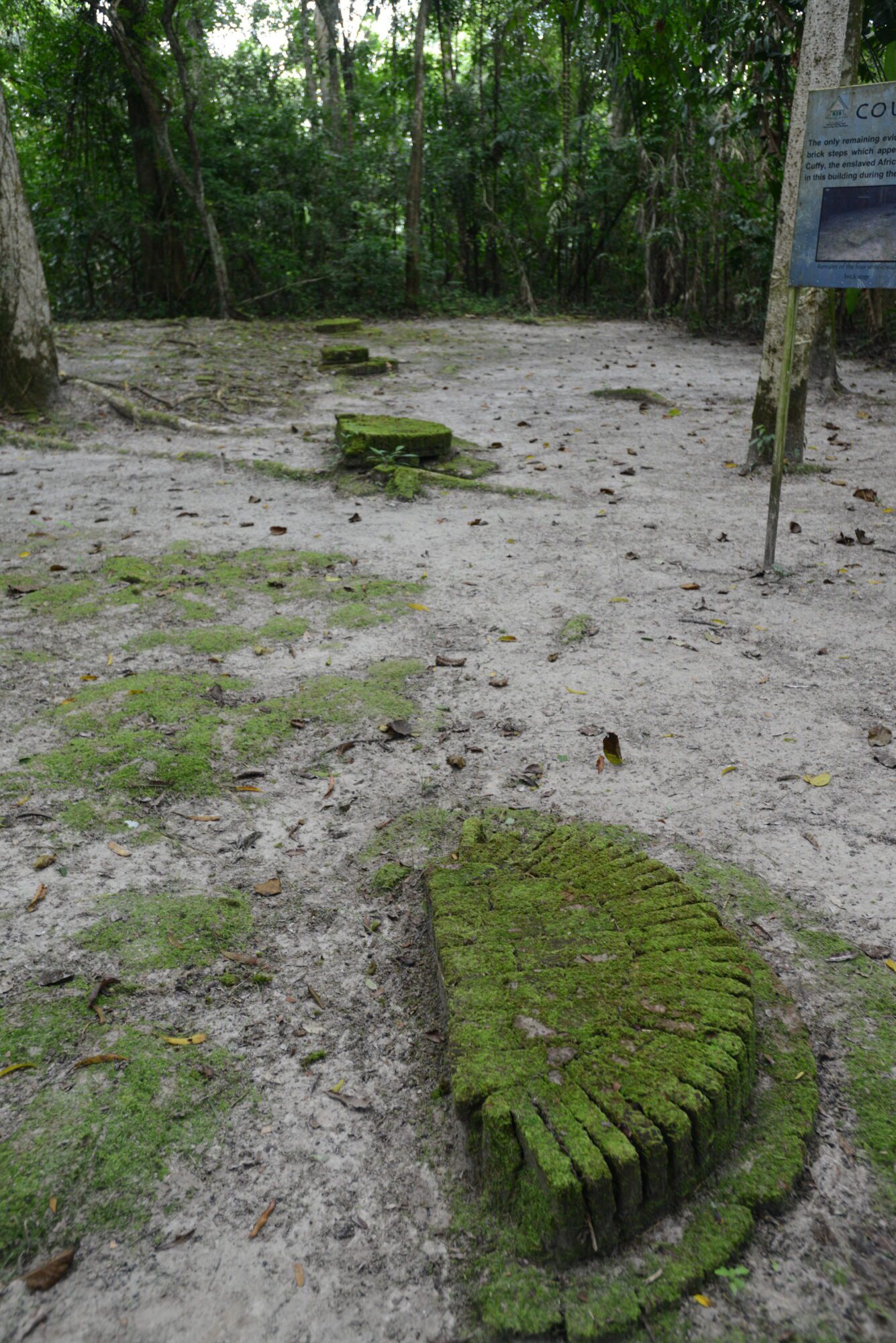
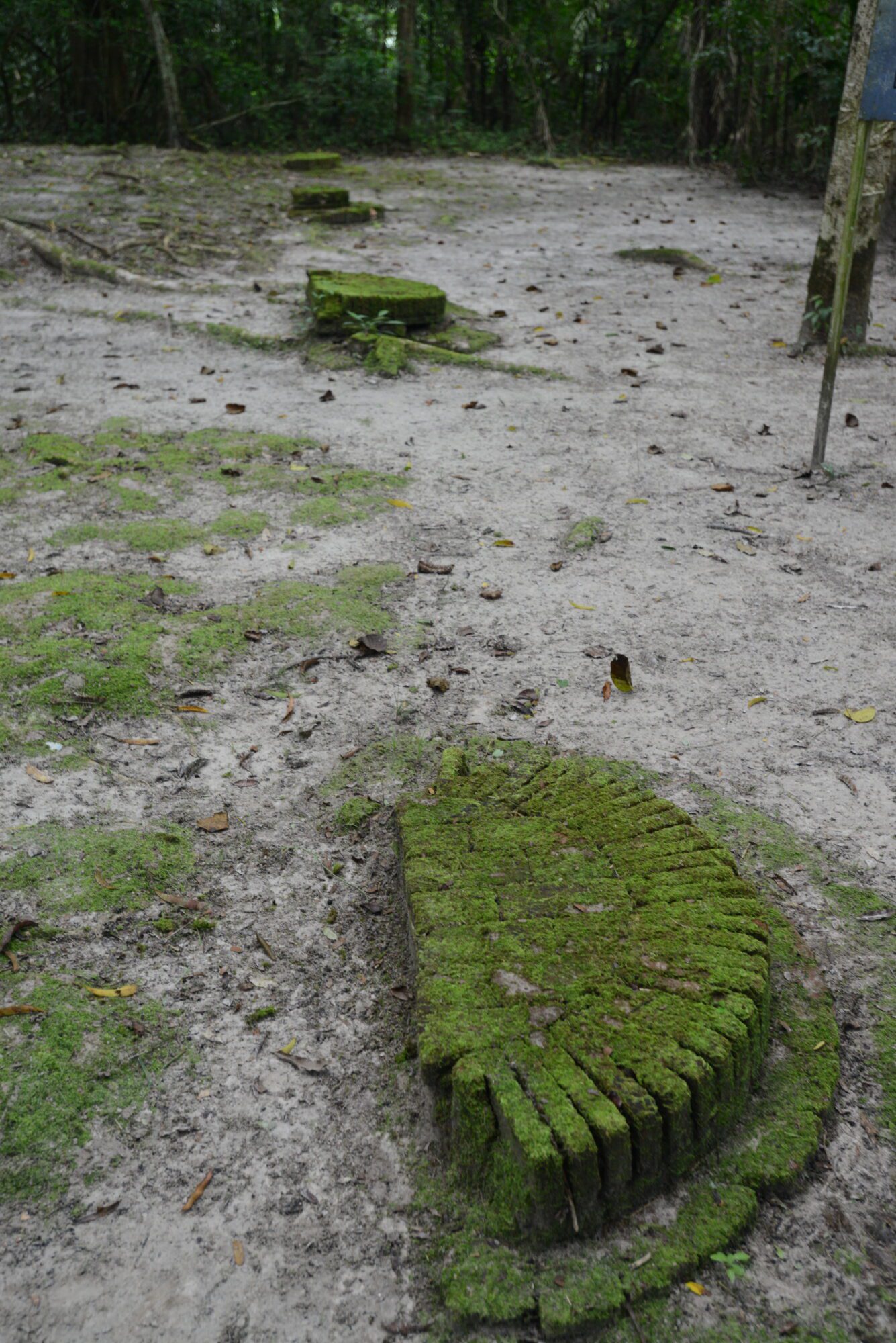
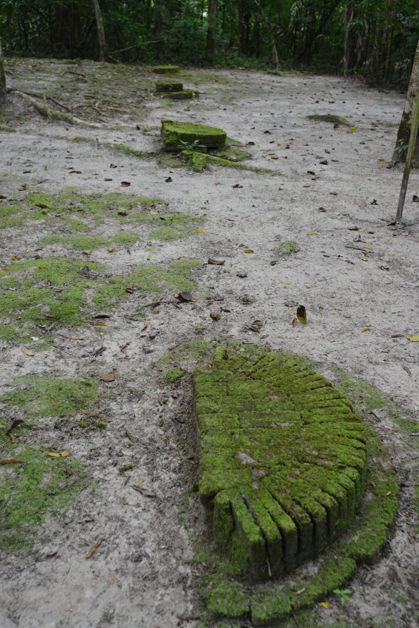
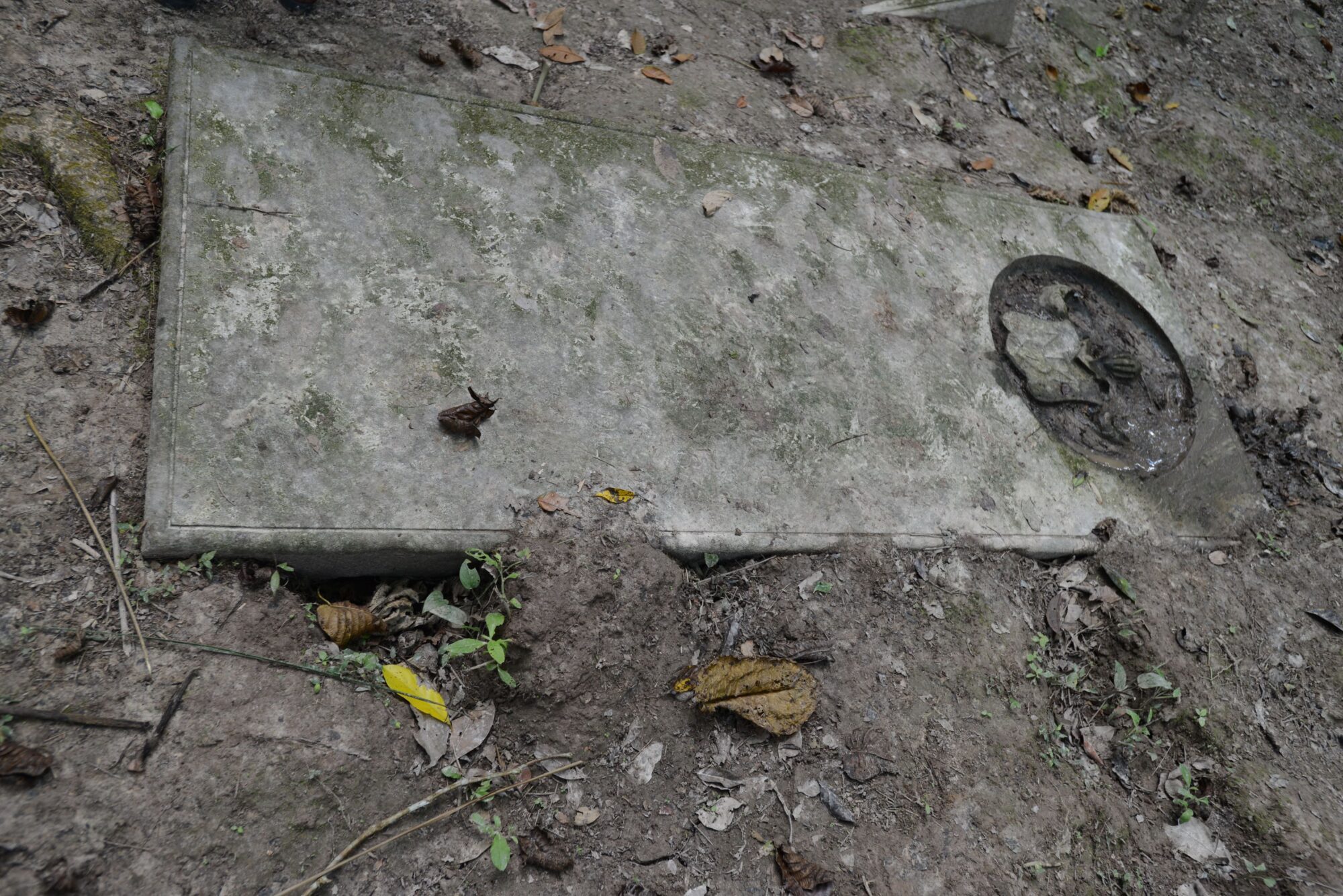
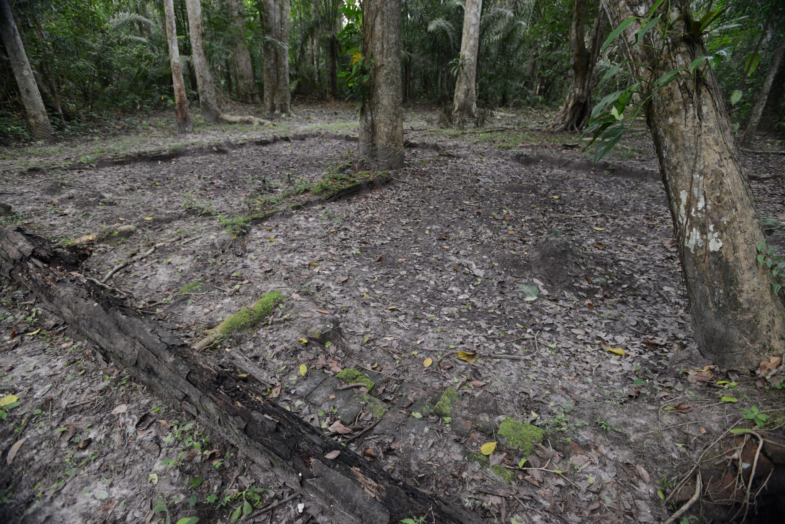
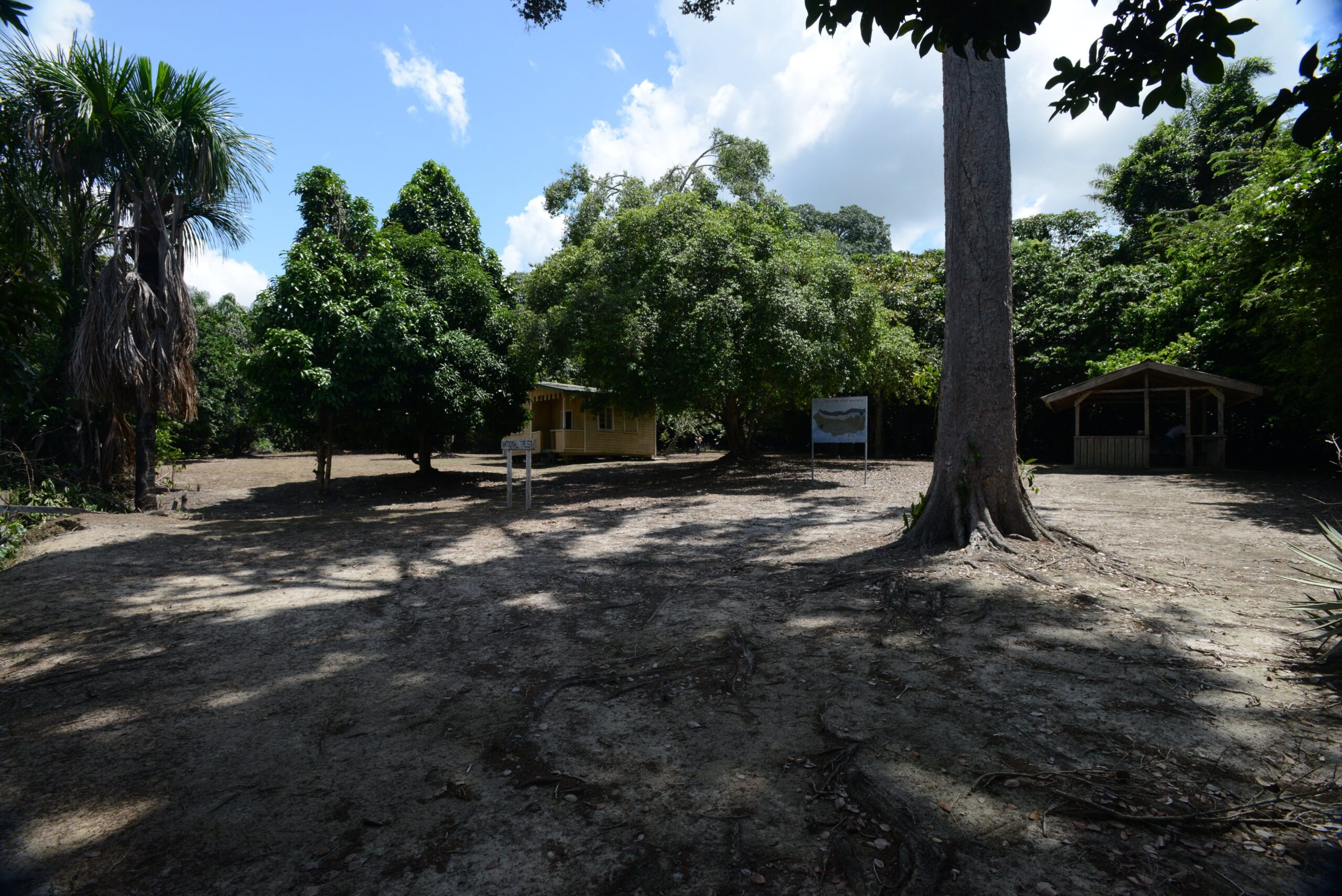
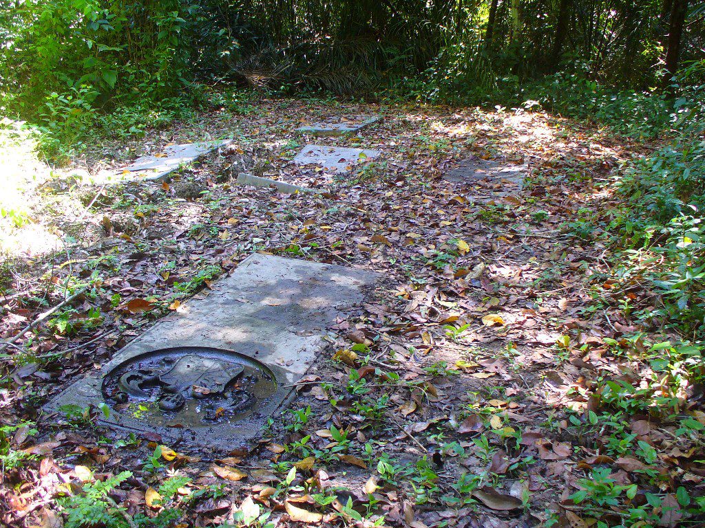
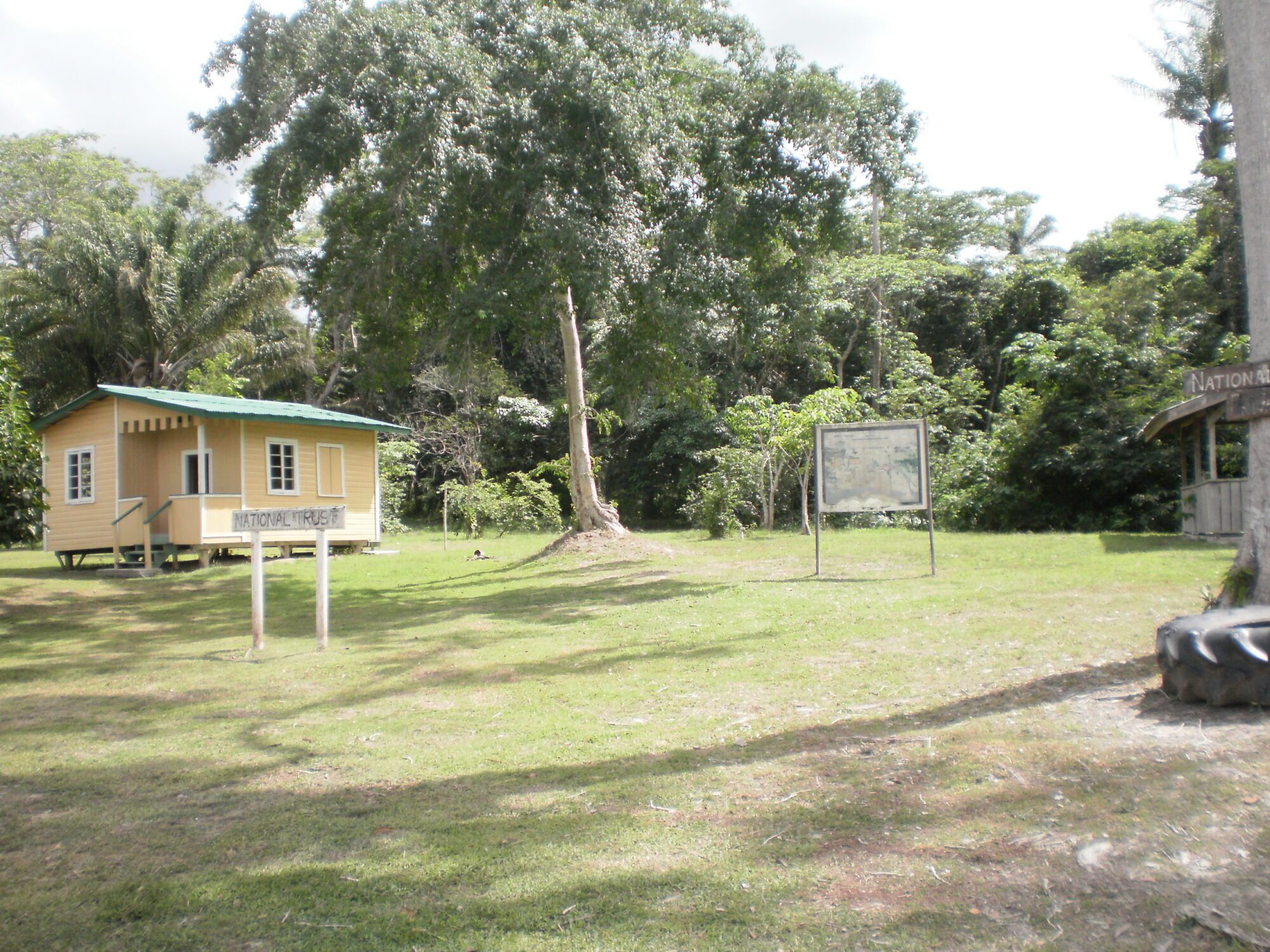
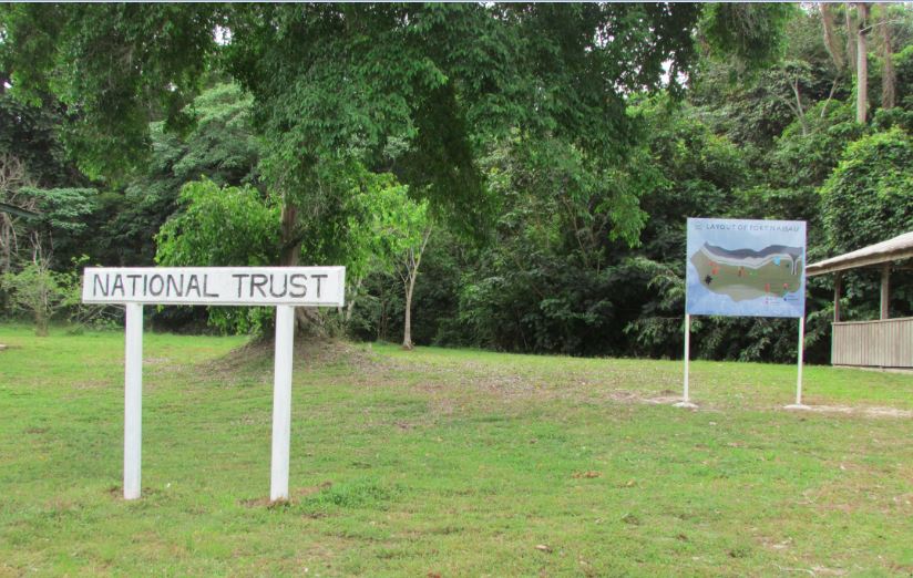
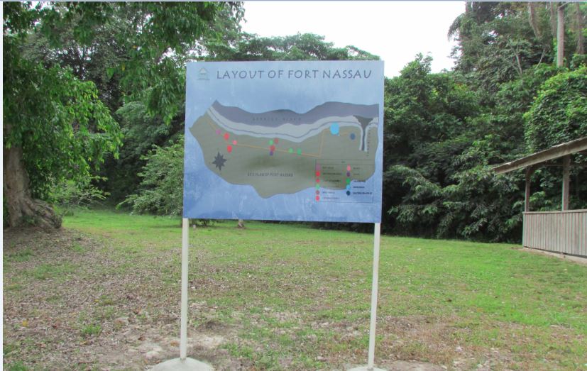
On February 23, 1763, the 1763 Slave Rebellion had erupted on plantation Magdelenenburg along the Upper Canje River. By March 8, the uprising had reached the fort and Commander Wolfort Simon van Hoogenheim along with the other colonizers were forced to flee; everything except the Lutheran church was destroyed. In 1764, the Dutch gained control of the rebellion and work began on building a new fort approximately one kilometre (0.6 miles) west of the old one. In 1796, the fort was abandoned completely. On November 27, 1999, the Fort Nassau complex, comprising an area of 0.68 square kilometres (166.71 acres) was gazetted as a National Monument. Some of the ruins to see along the Fort Nassau trail include: the site of the first Lutheran Church, the Western and Eastern Grave Plots, the Court of Assembly site, the Warehouse, the Inn Steps, the Bridge and the ‘Talking Tree’.