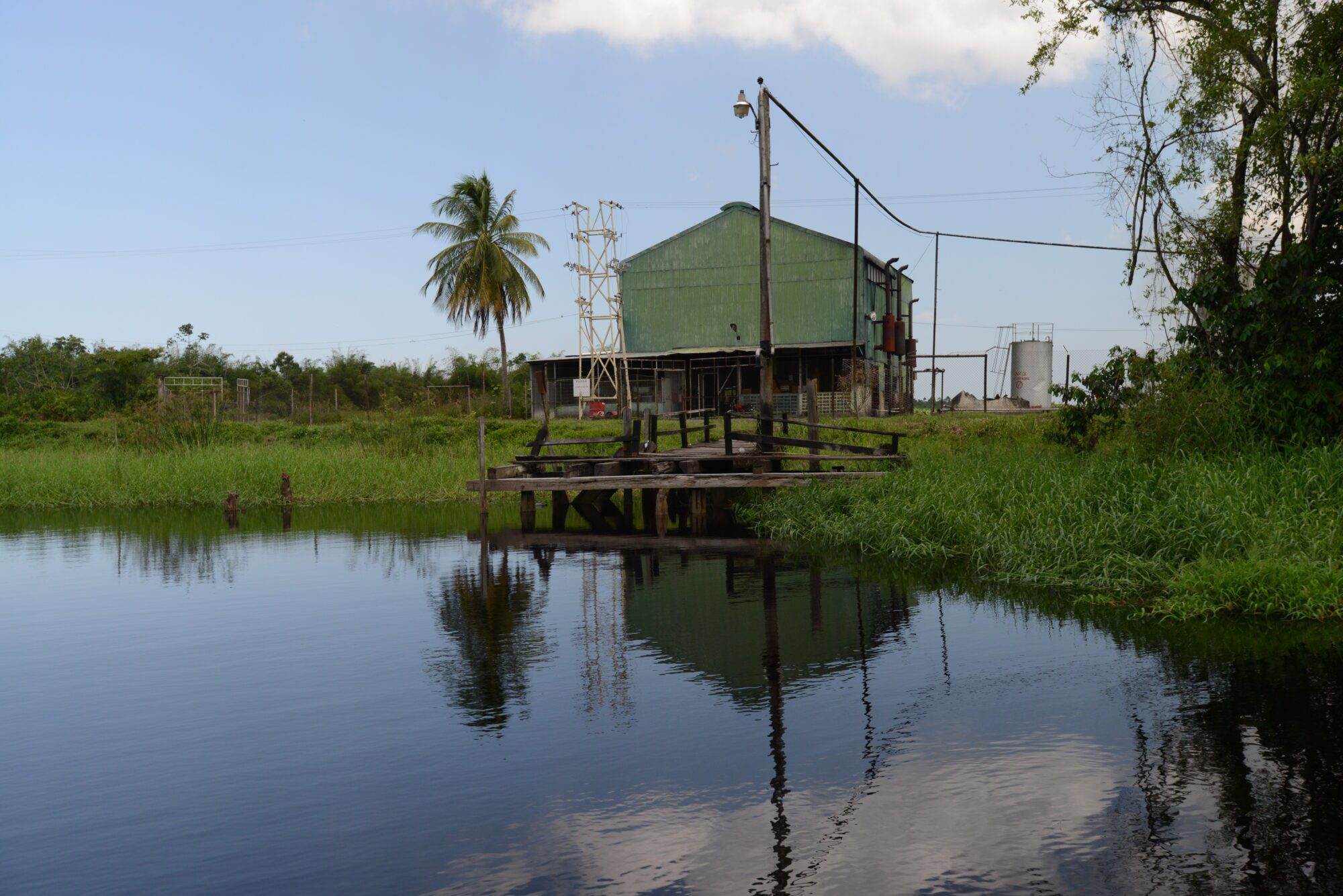
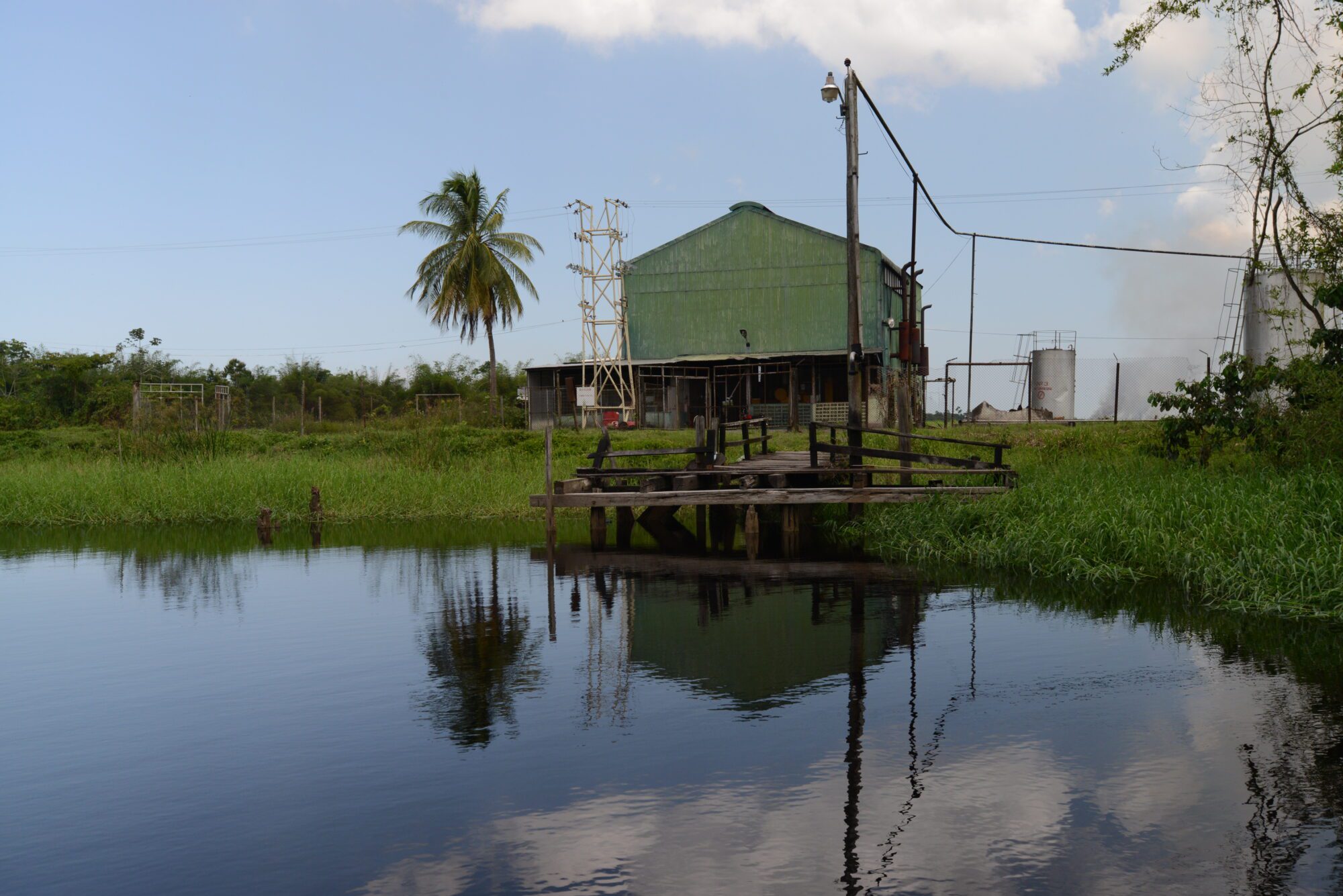
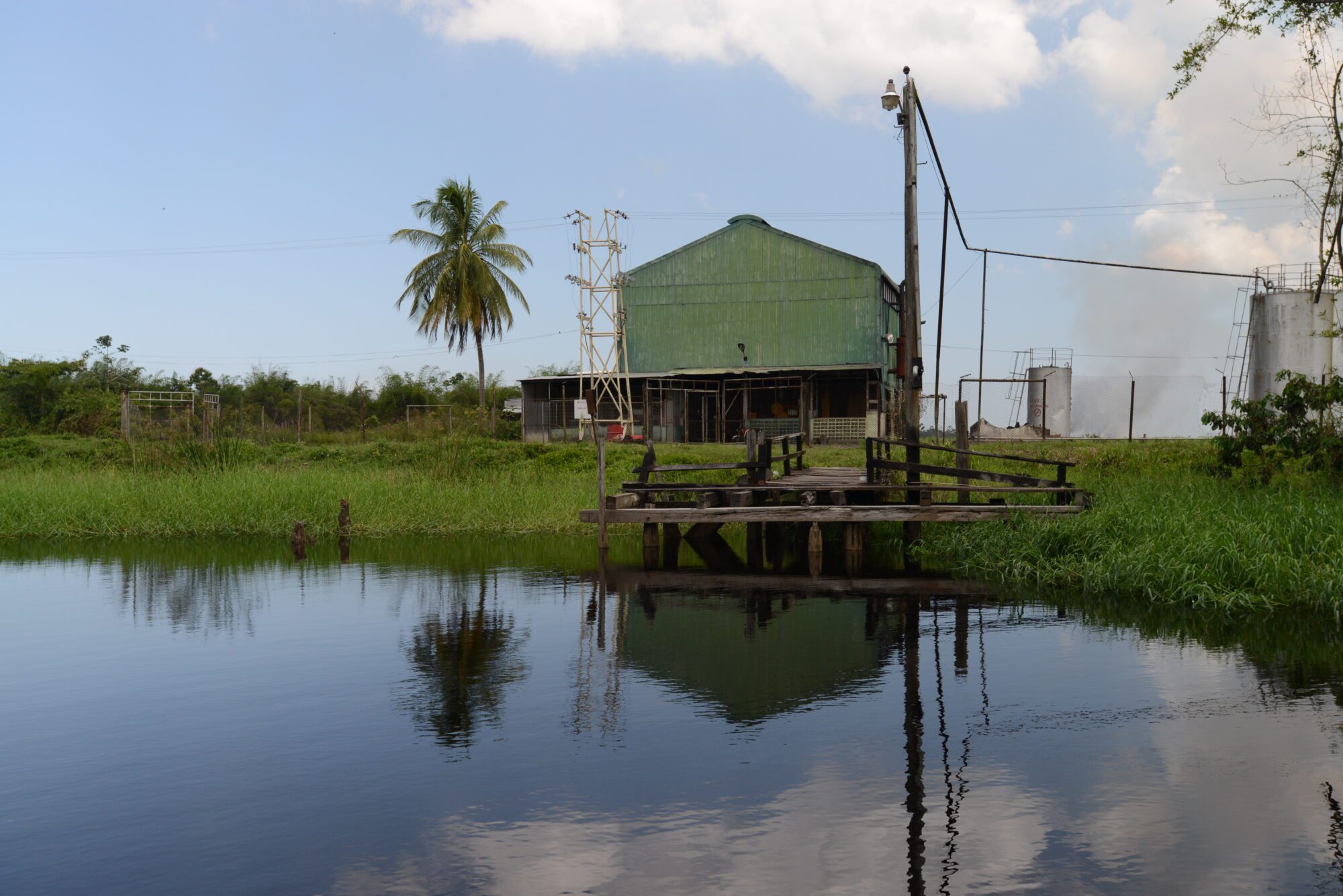
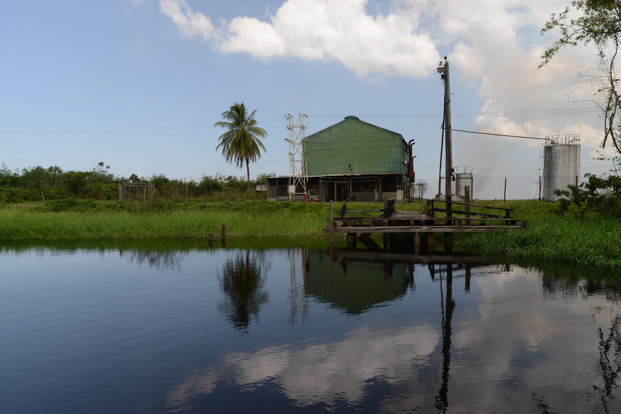
Location: Upper Canje, Berbice
Classification: Historic Settlement
Period/ Year Built: Established Mid-19th century
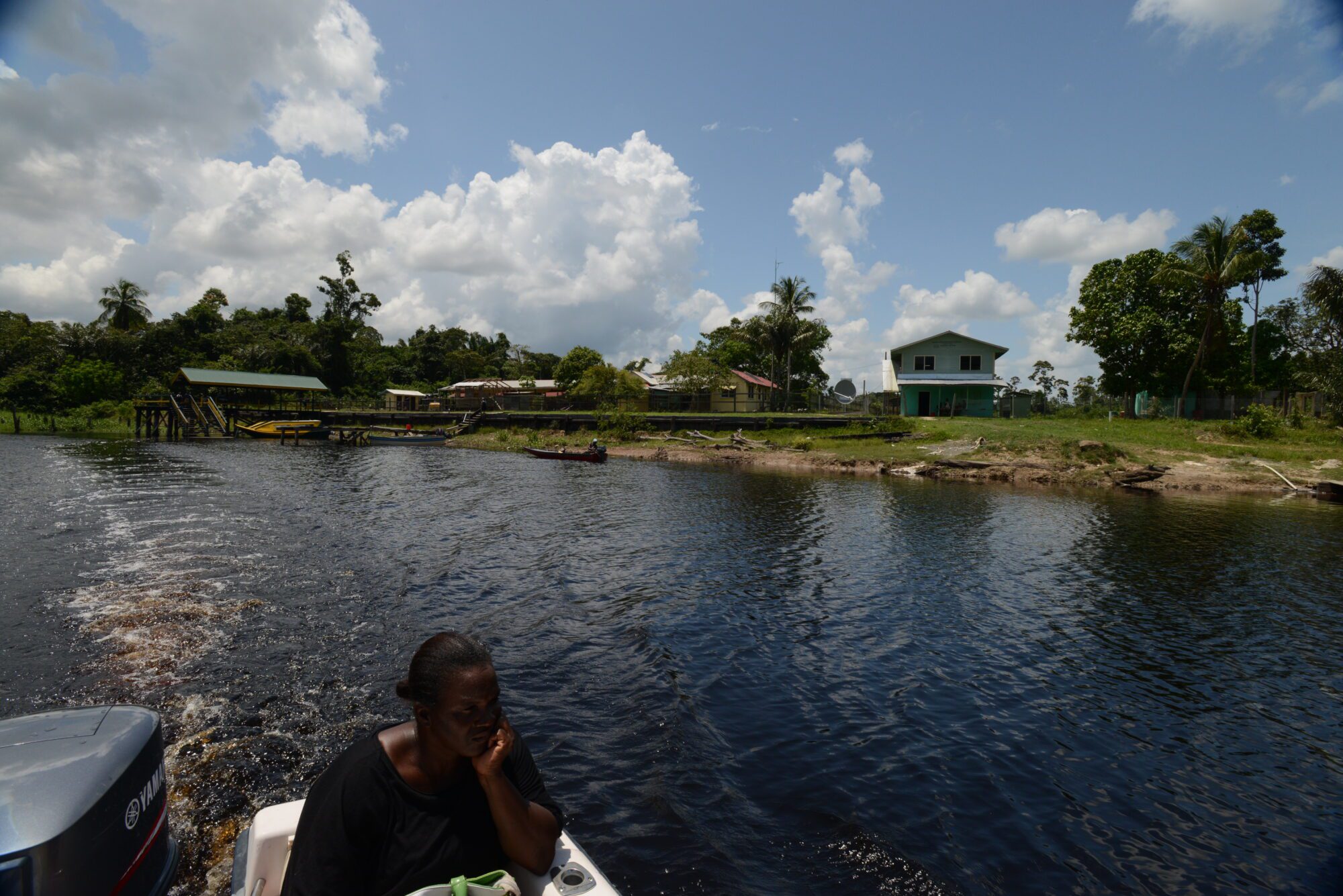
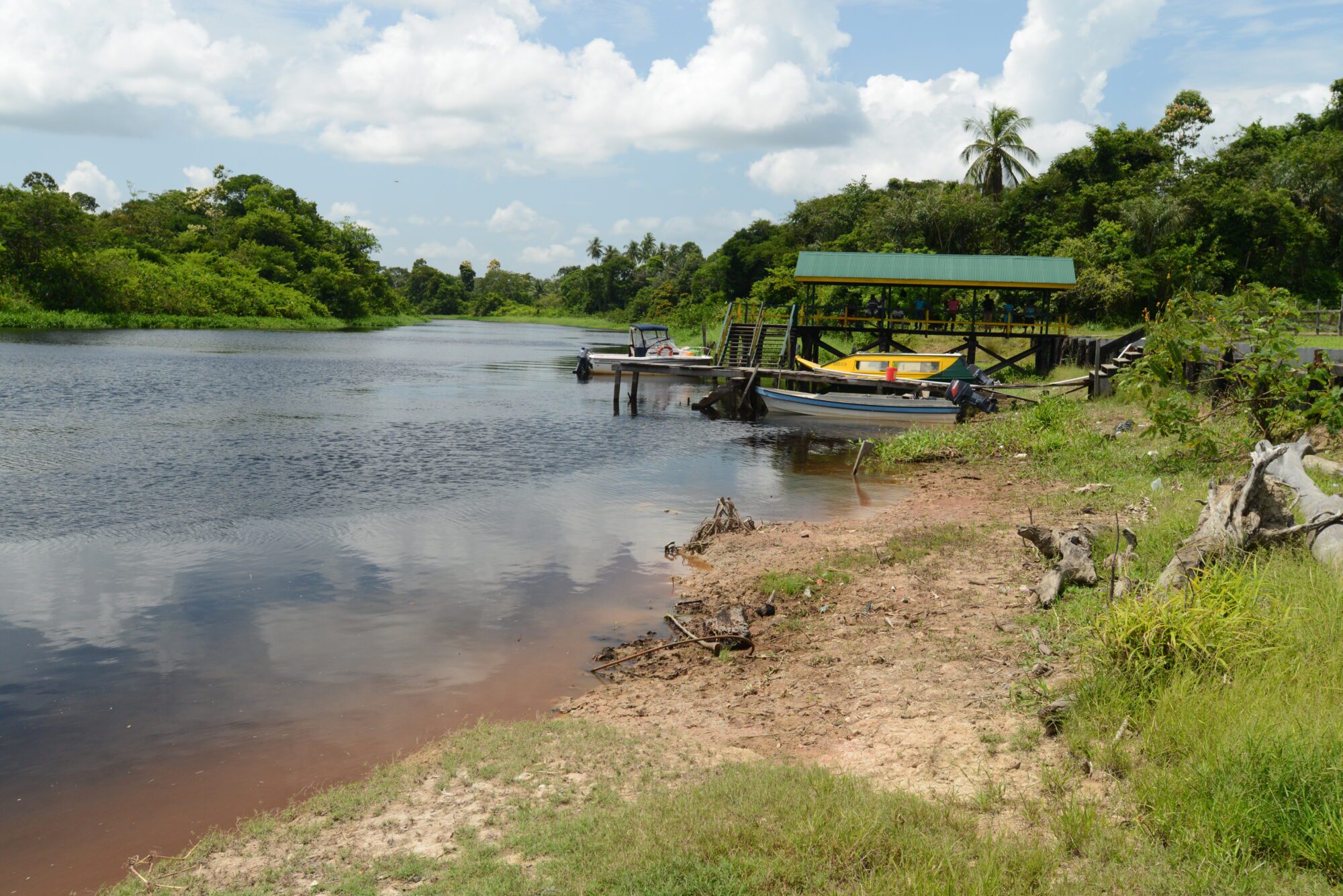
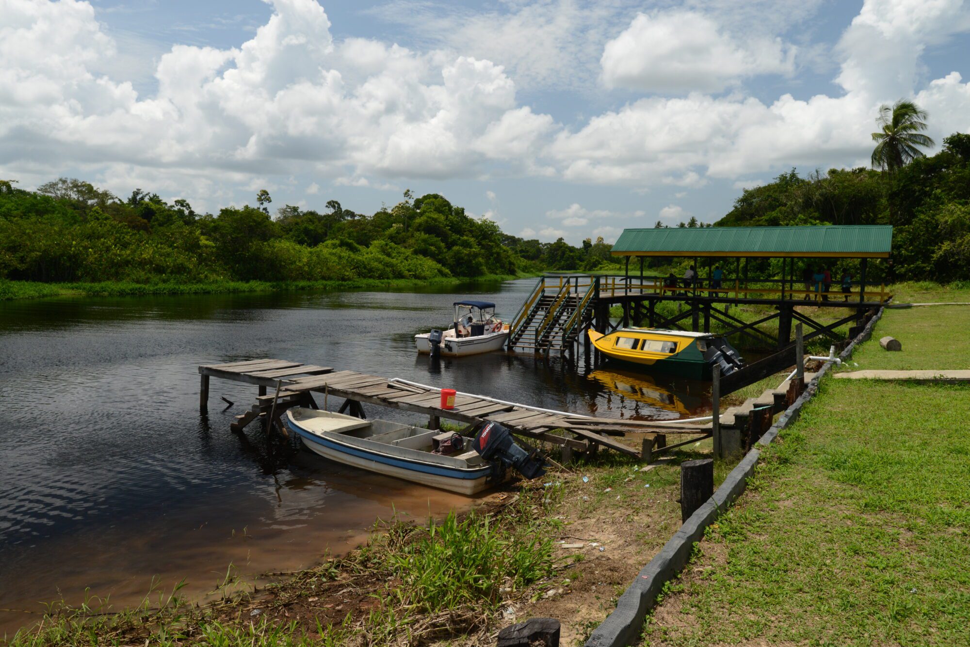
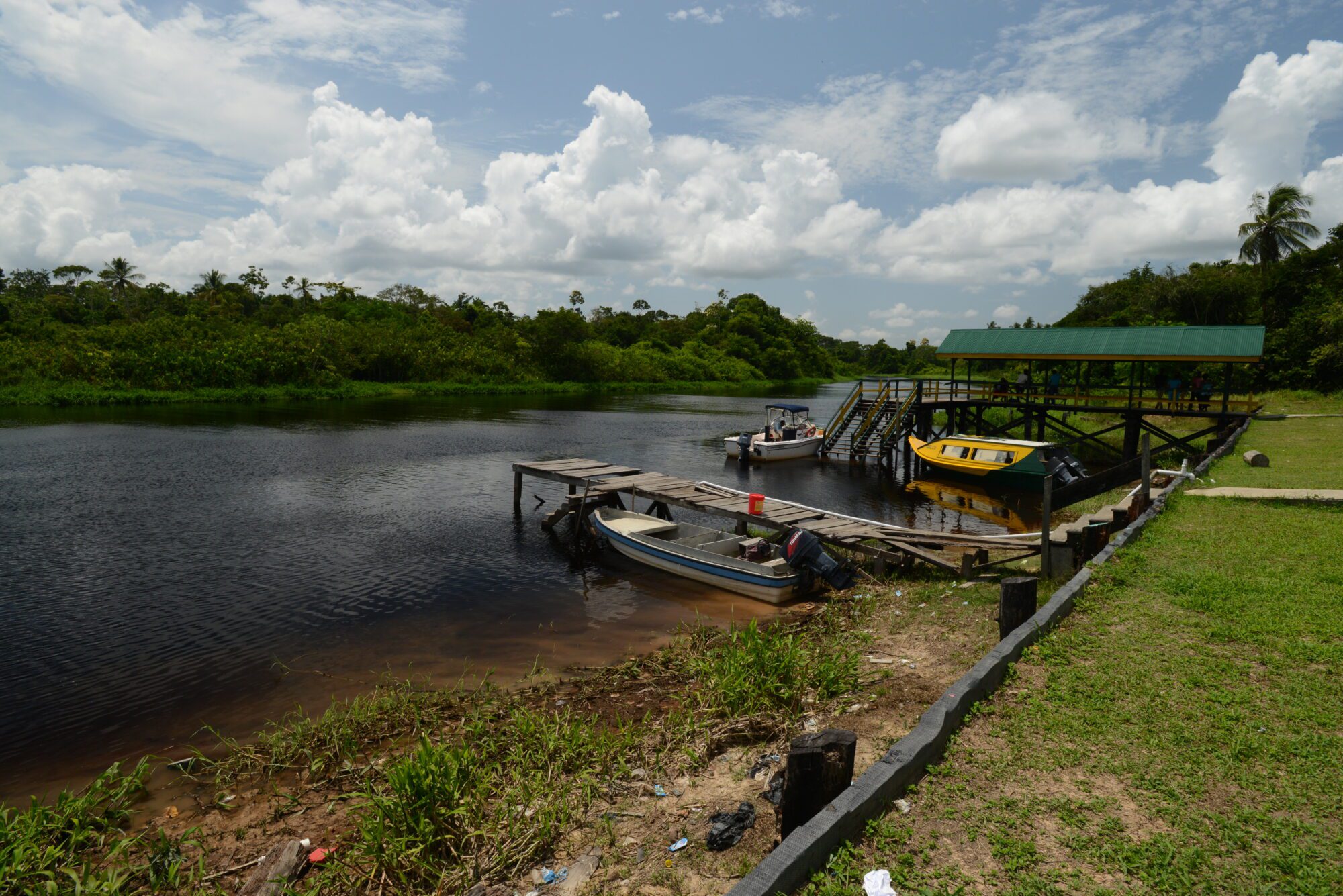
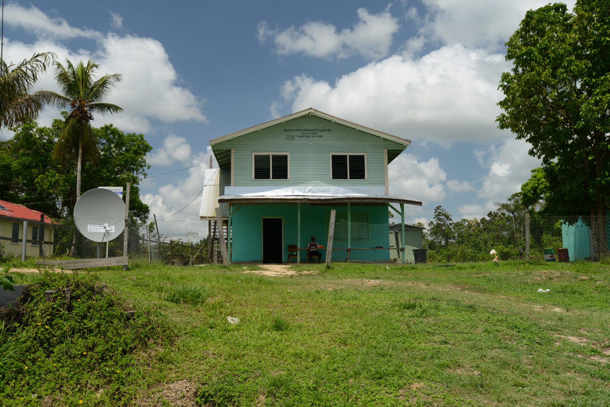
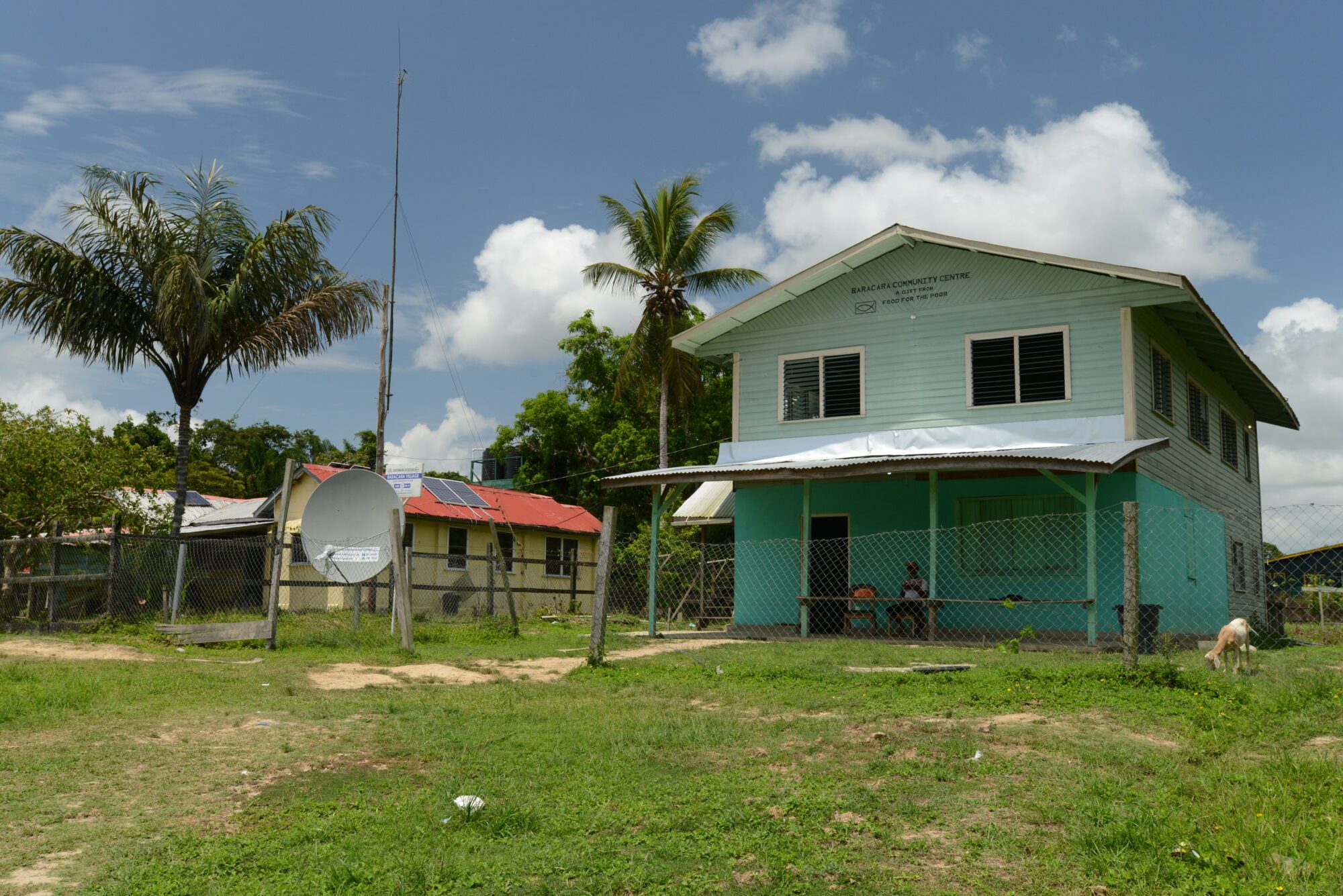
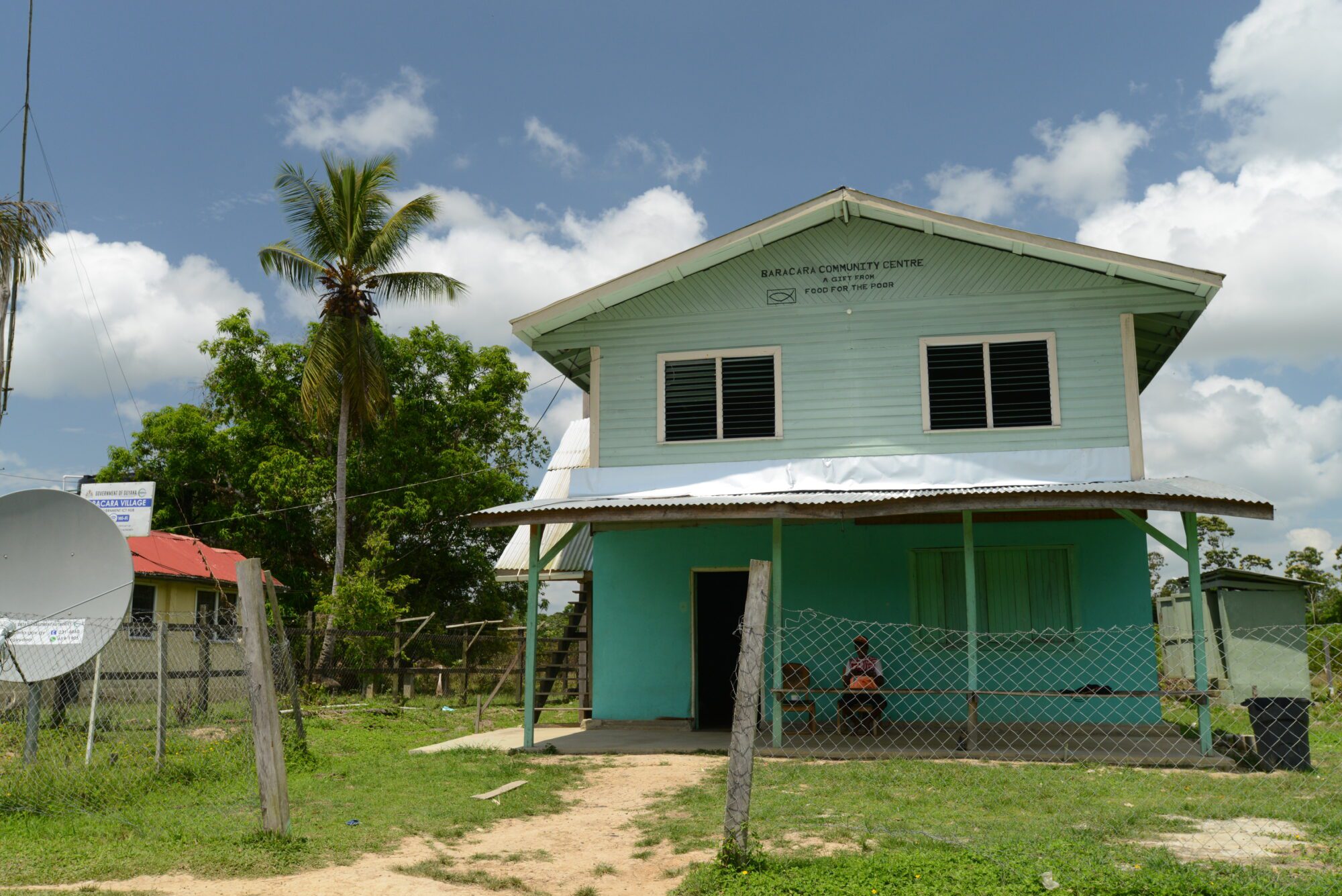
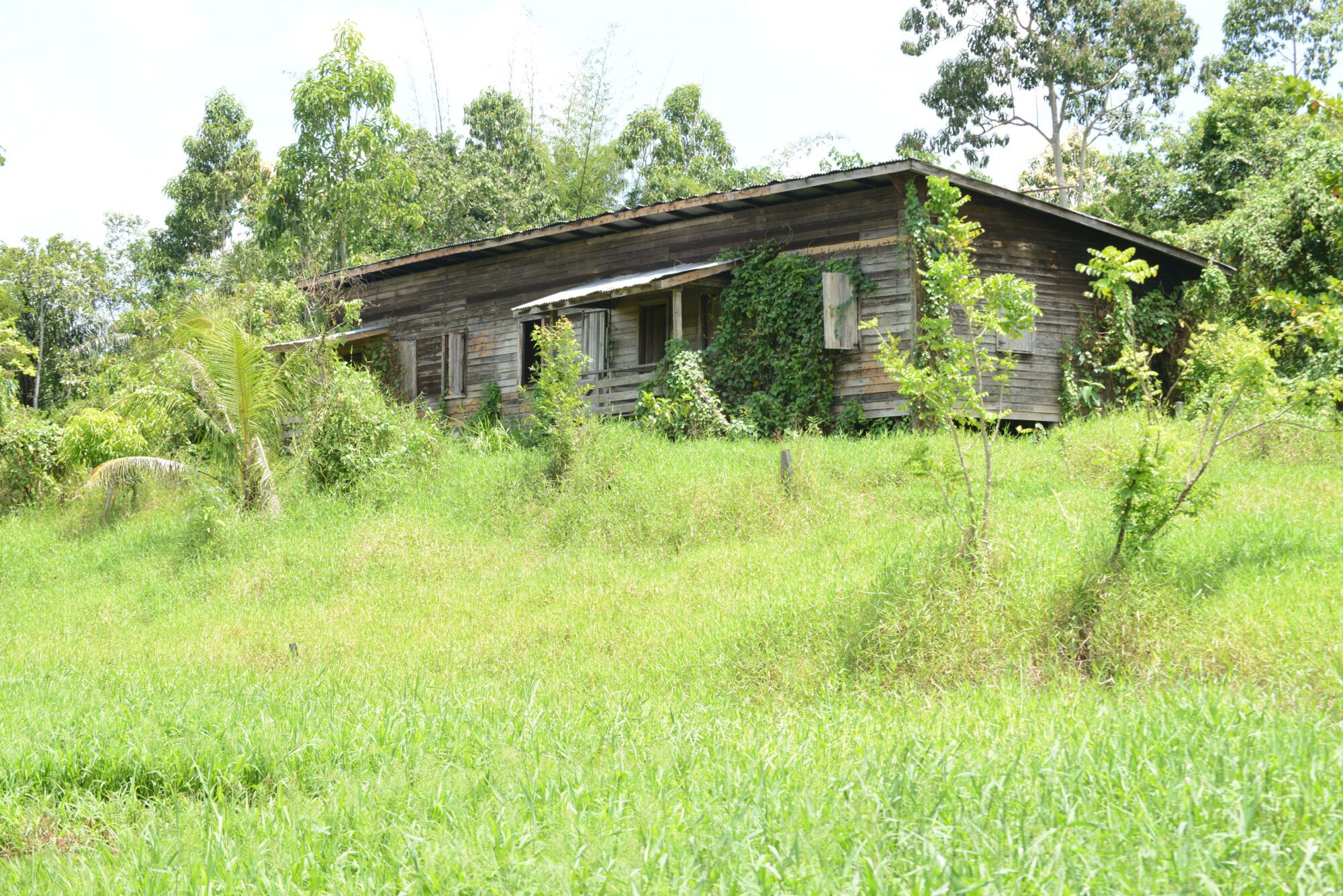
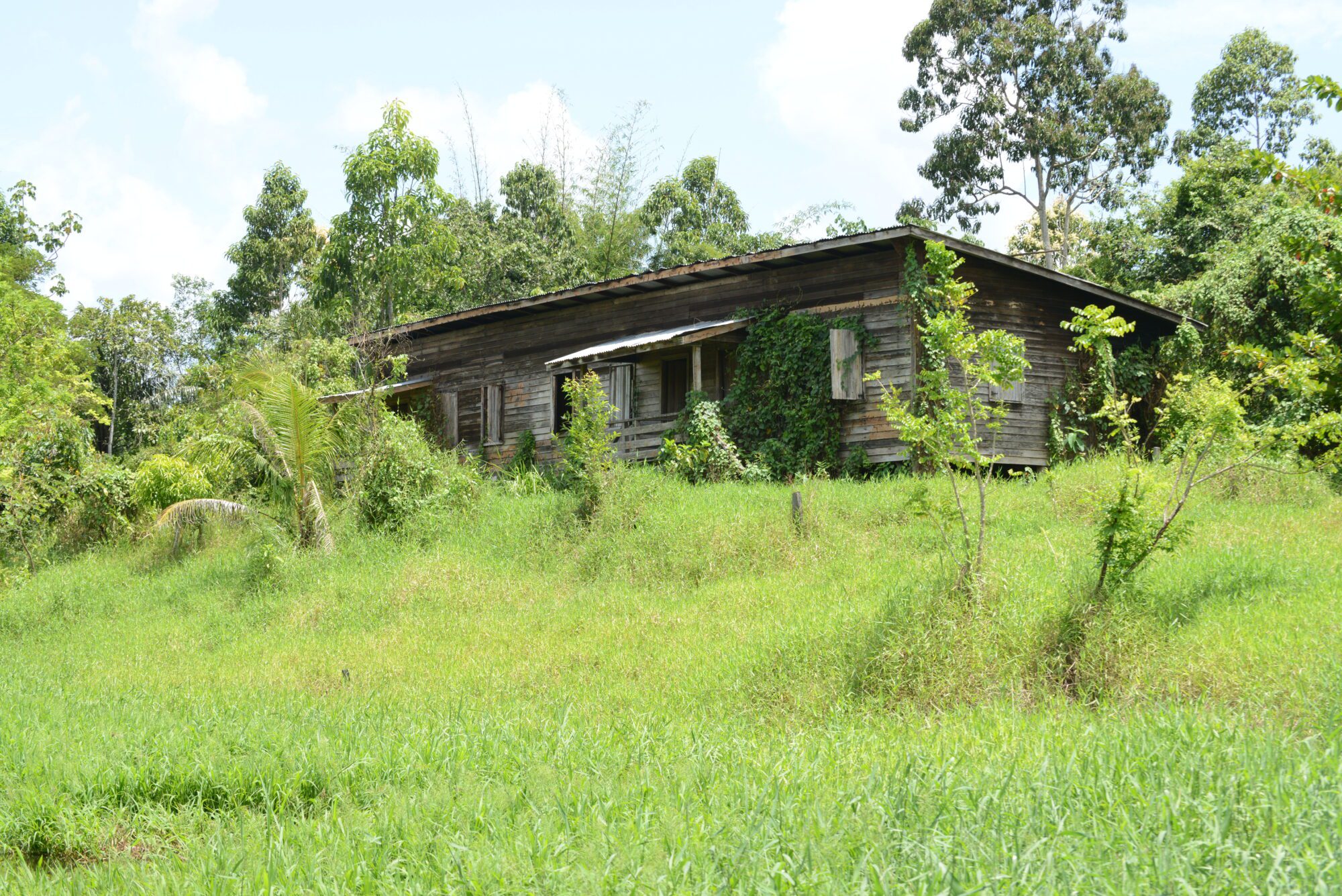
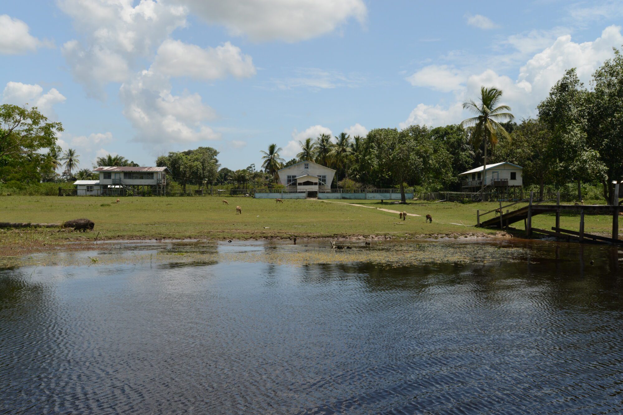
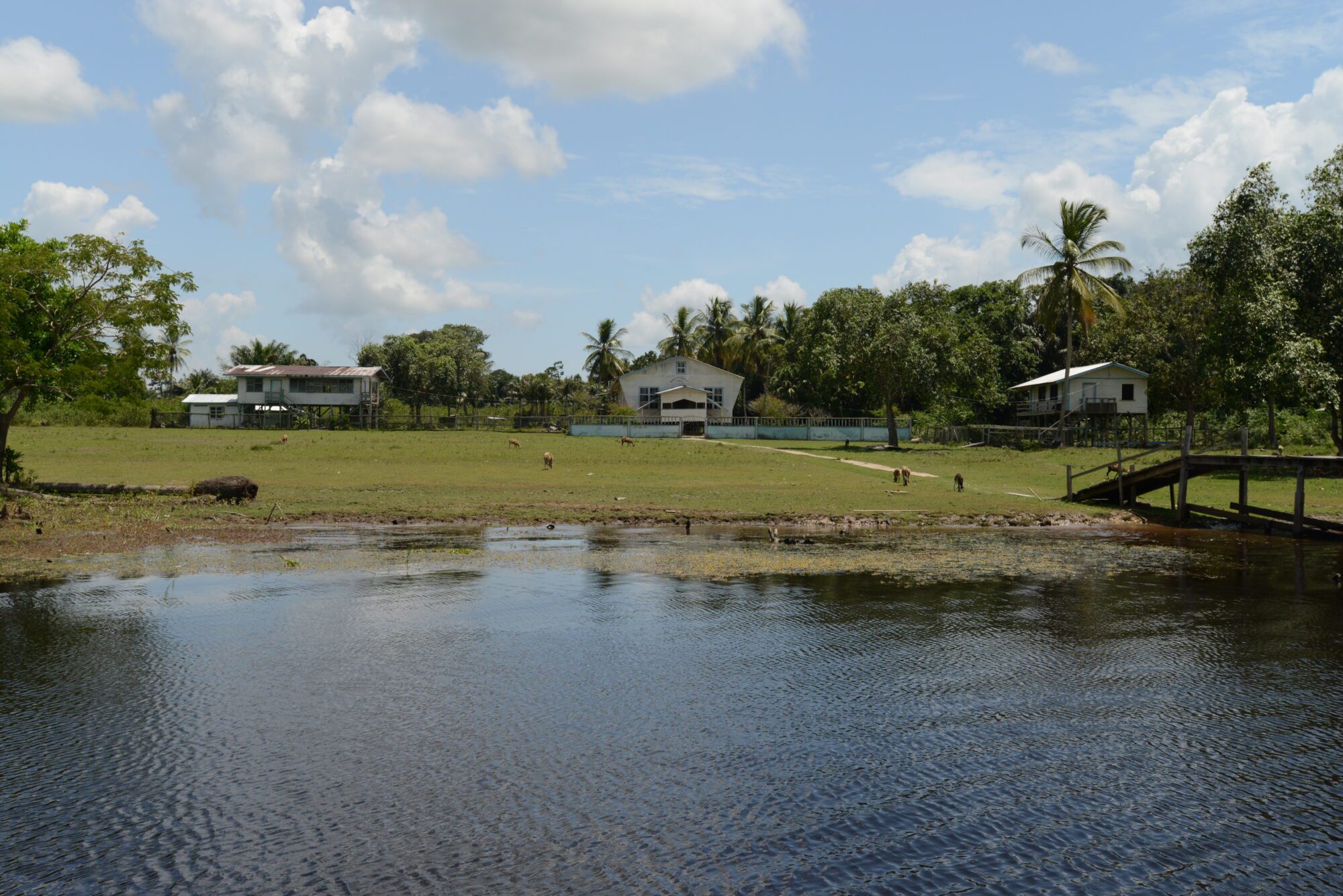
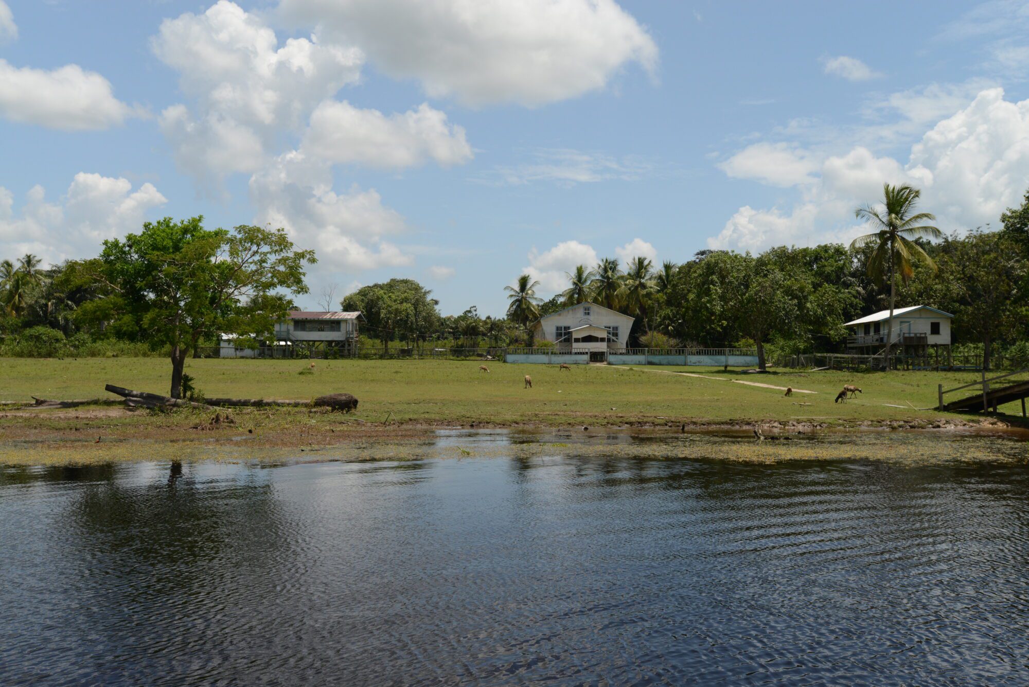
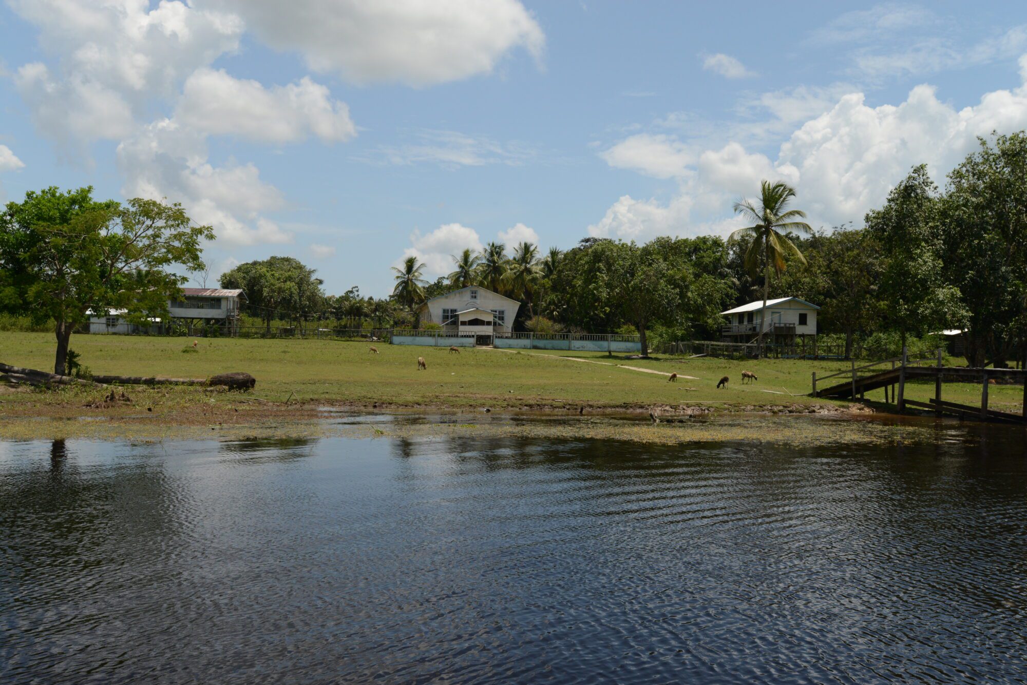
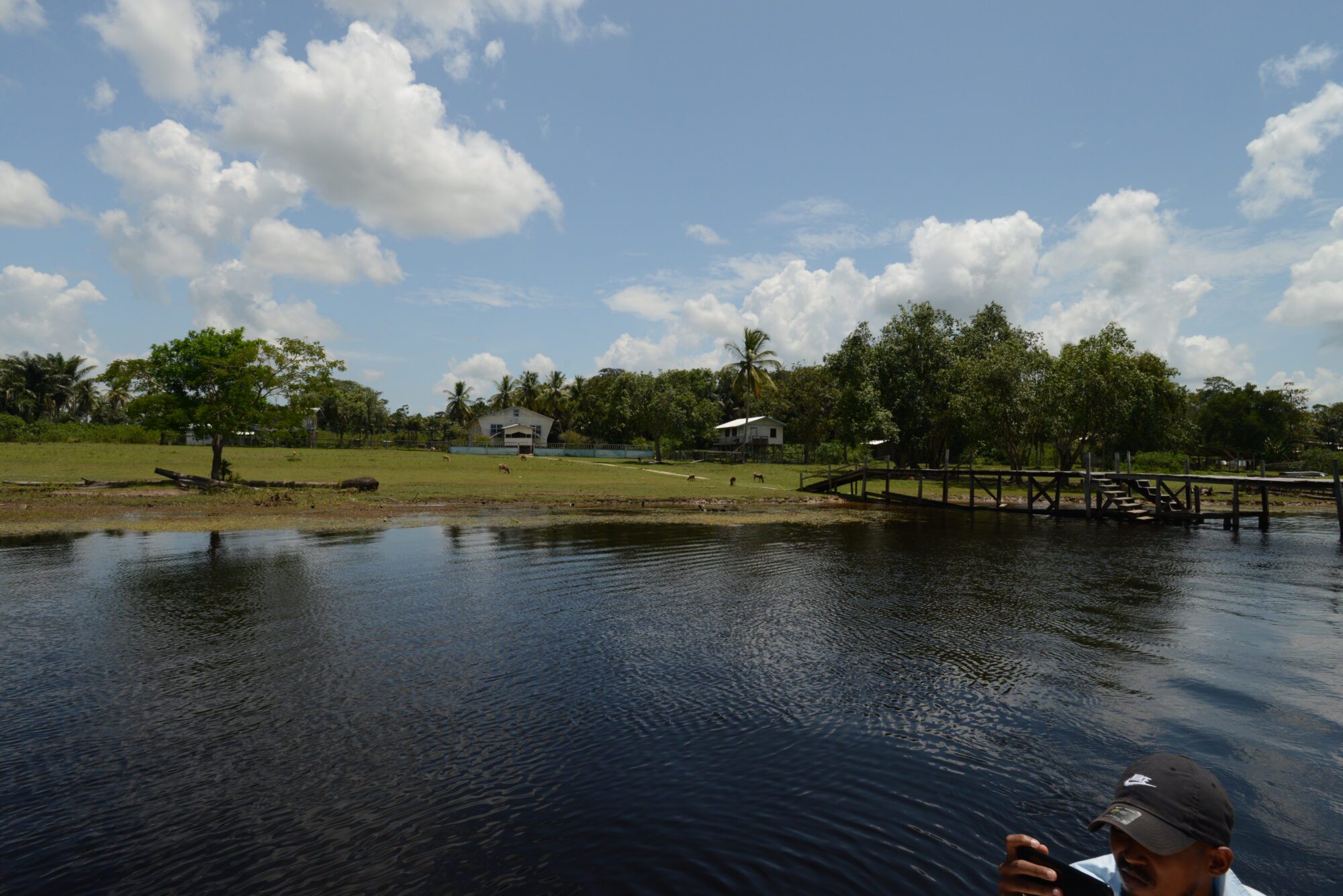
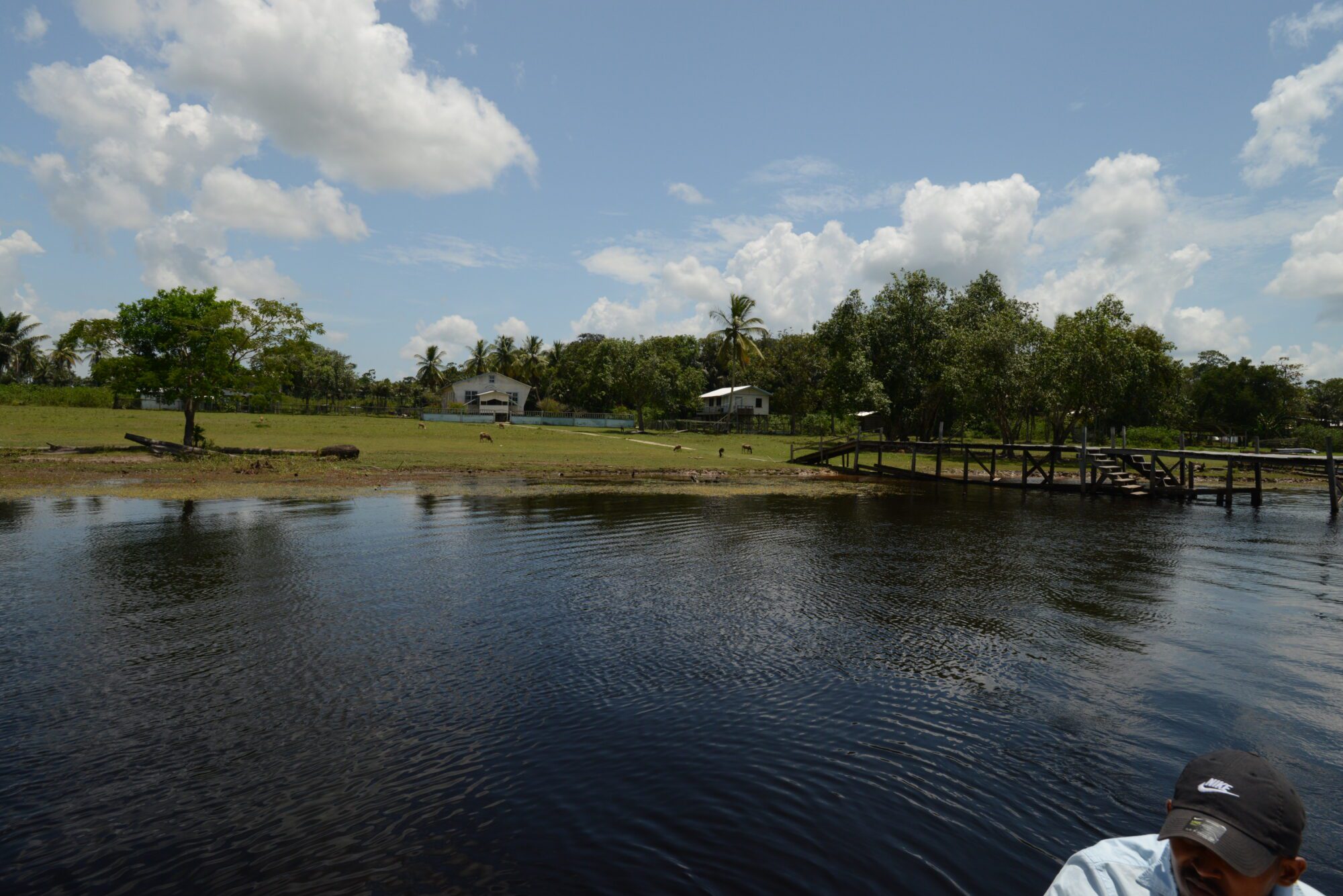
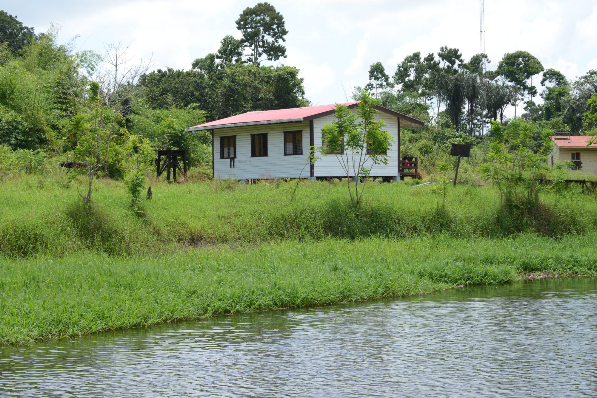
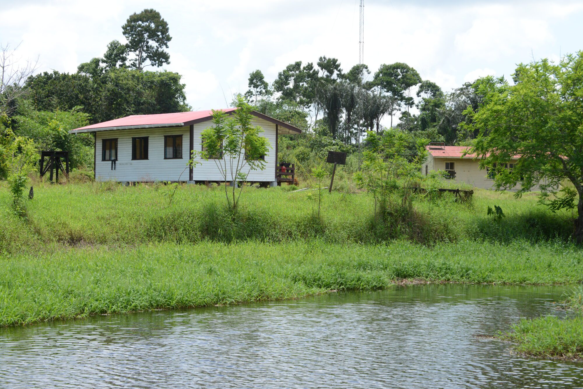
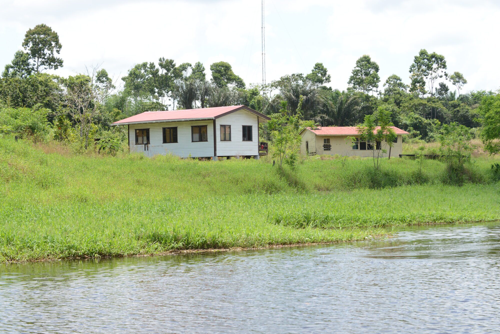
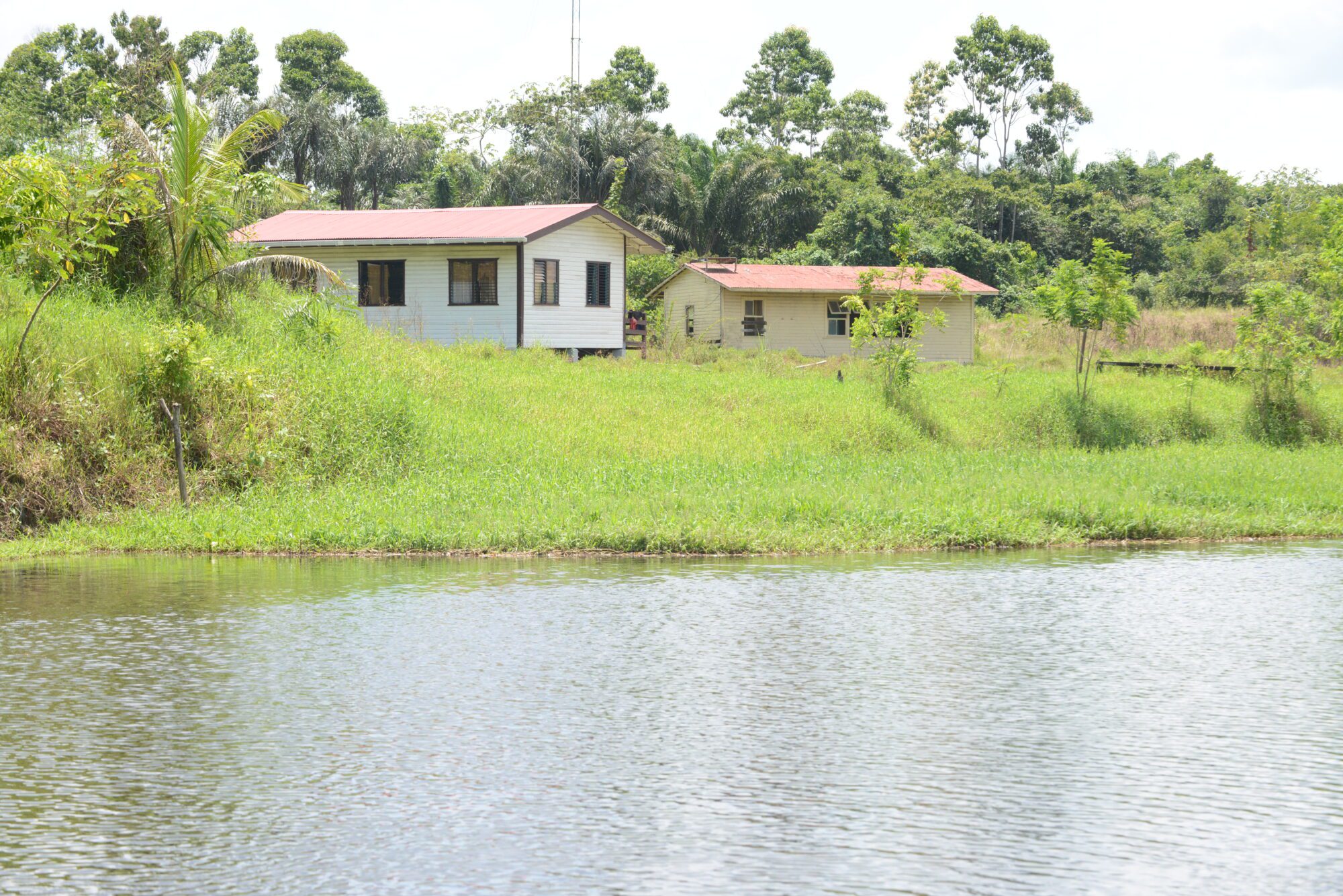
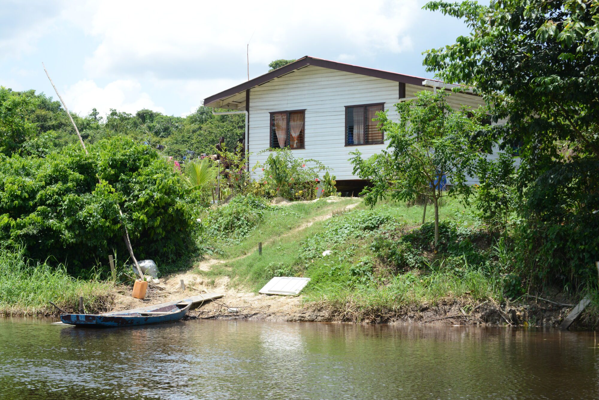
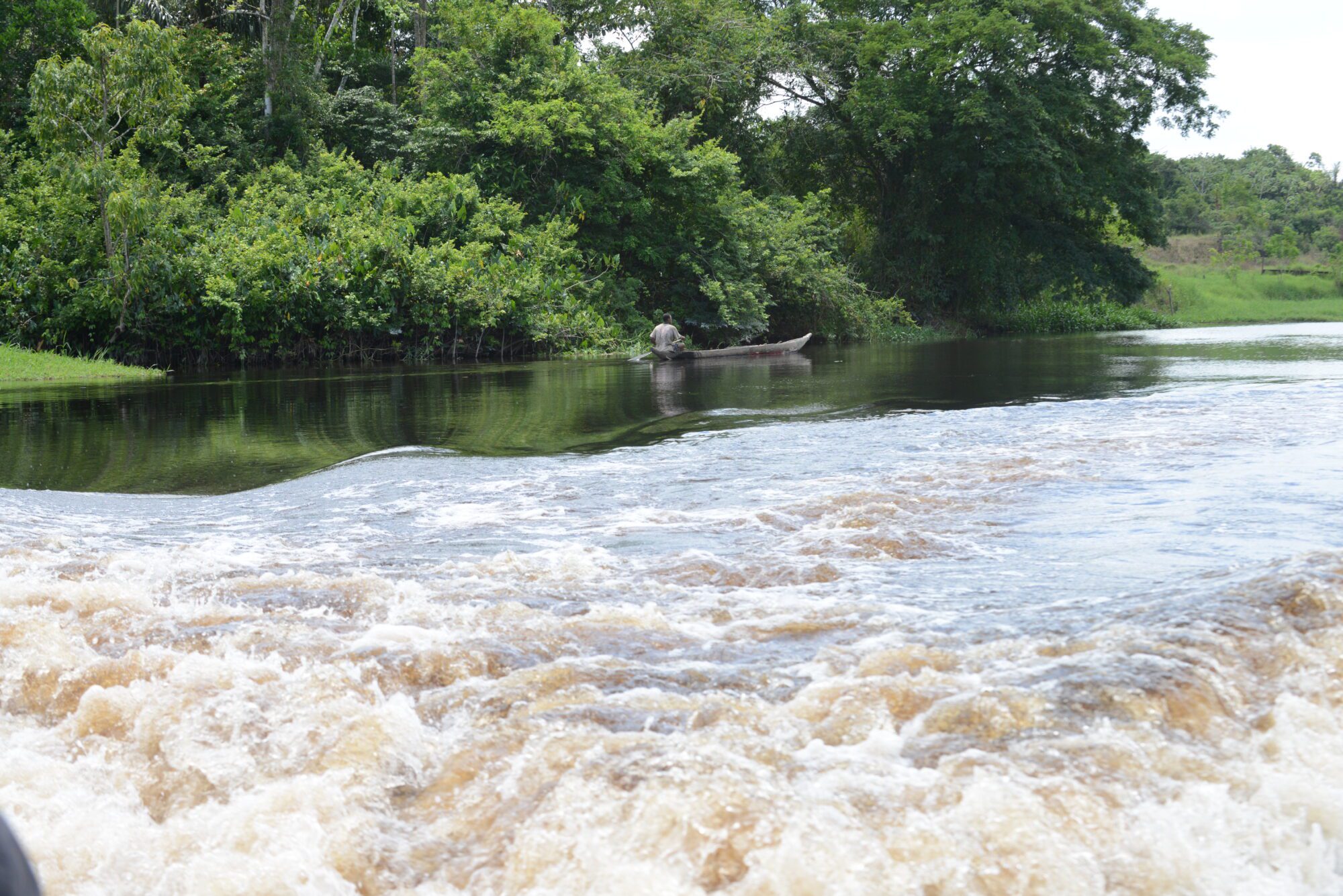
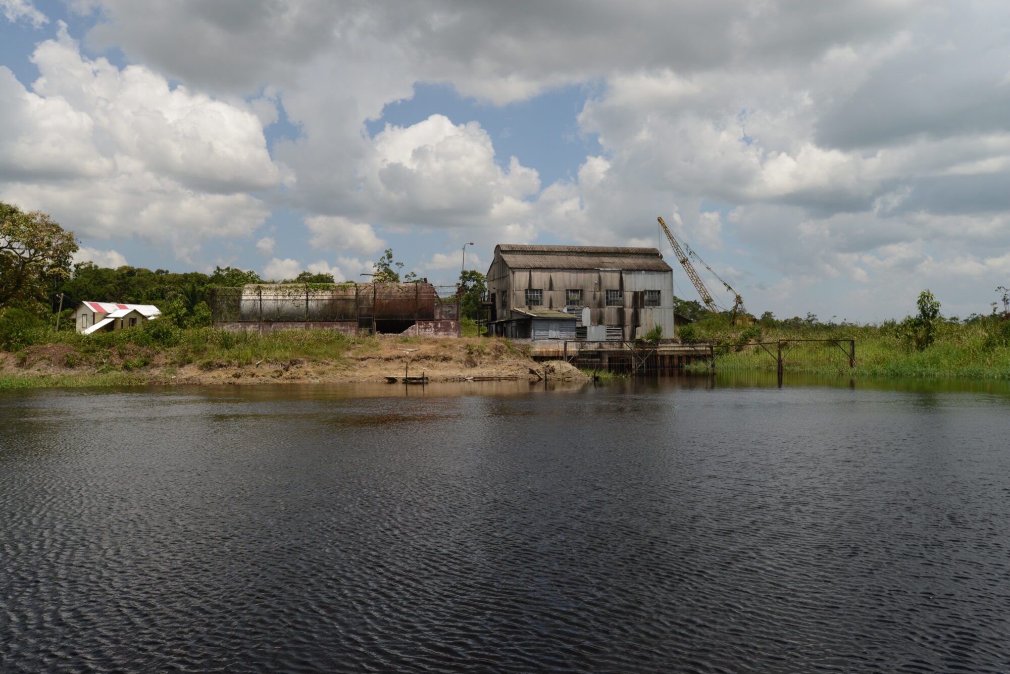
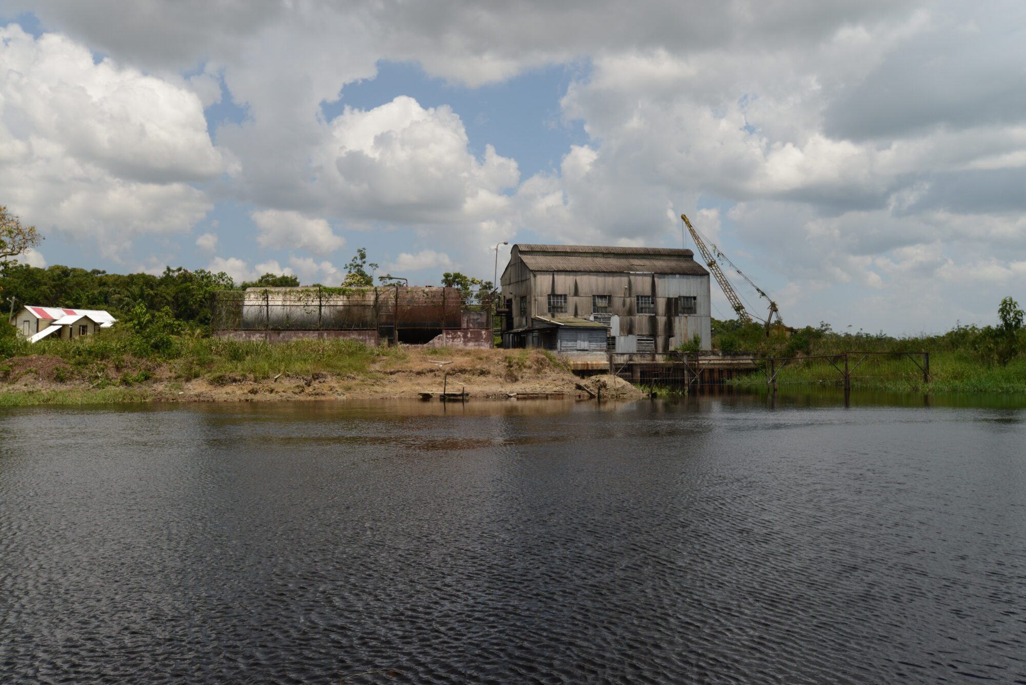
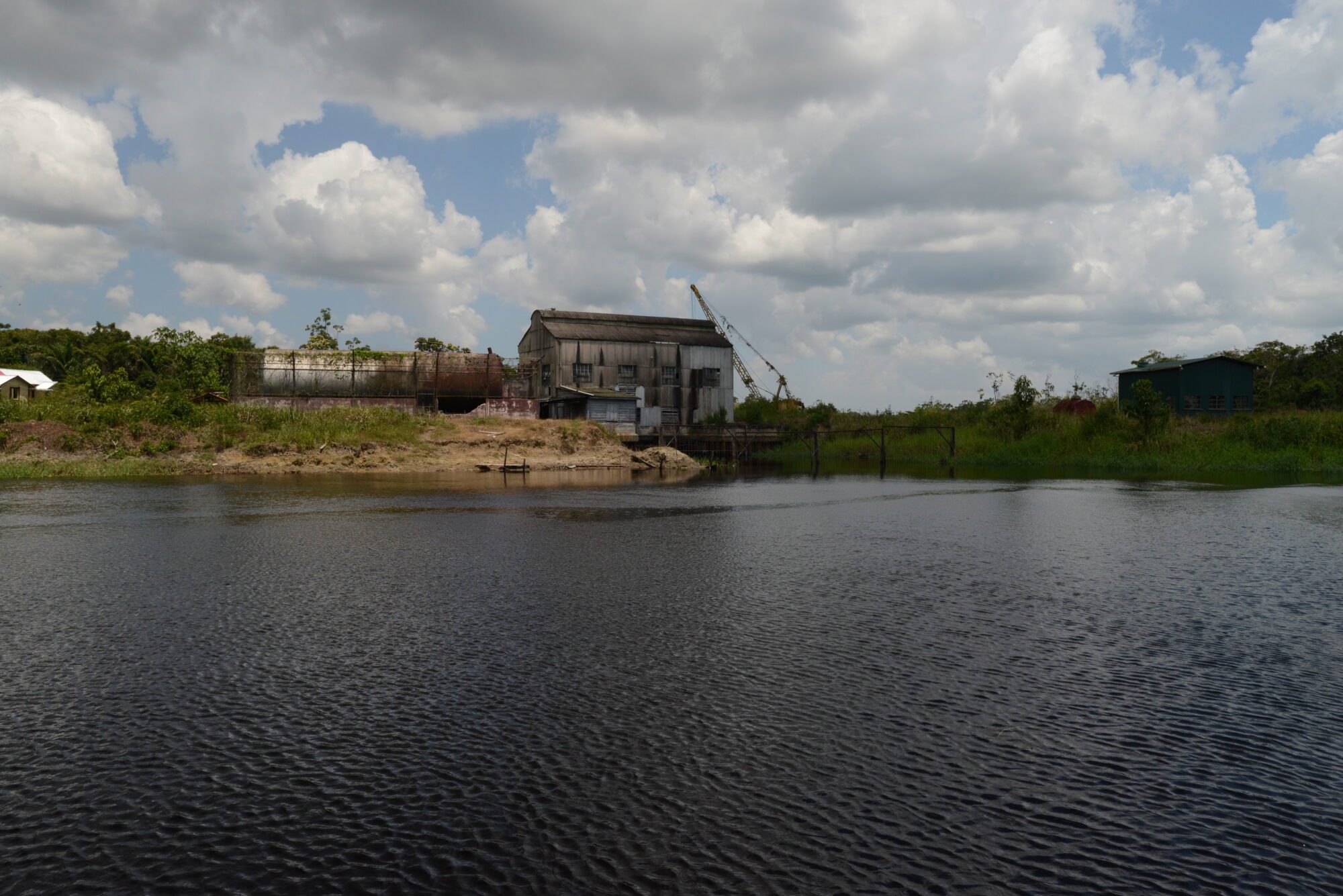
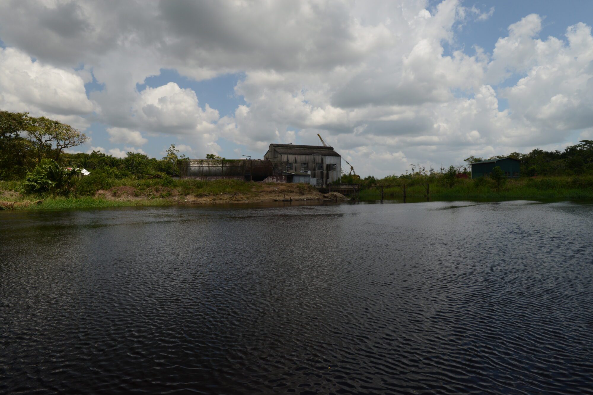
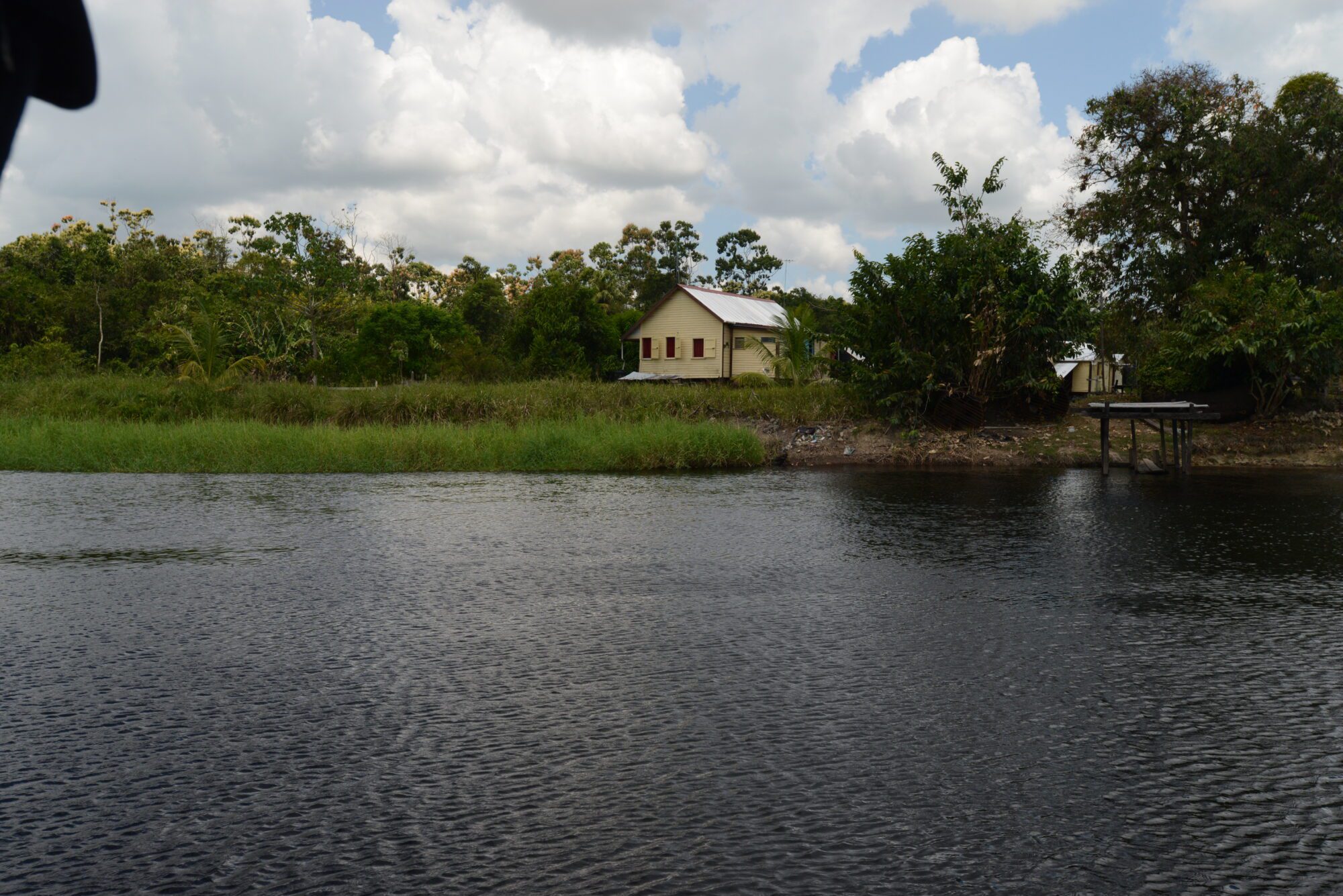
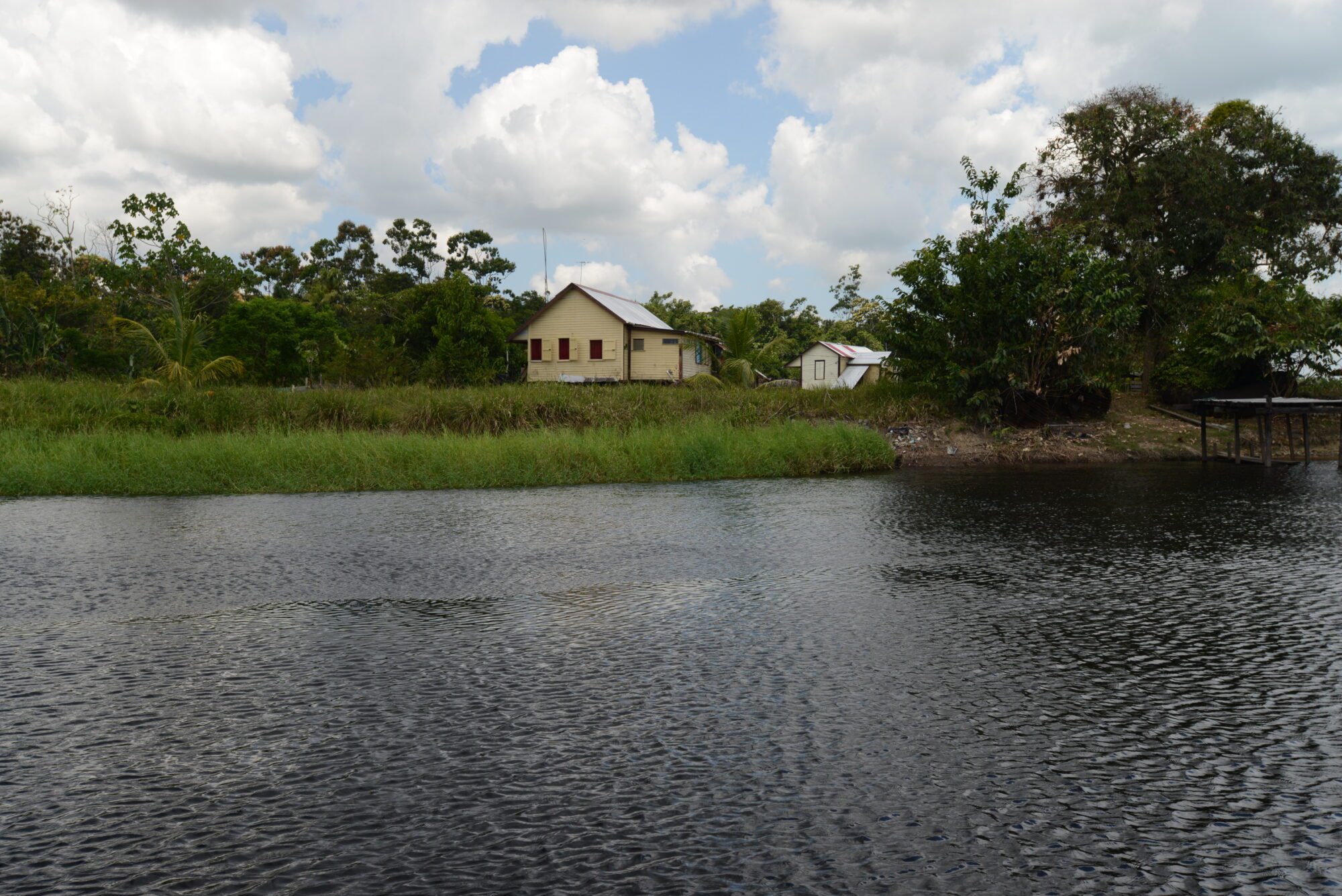
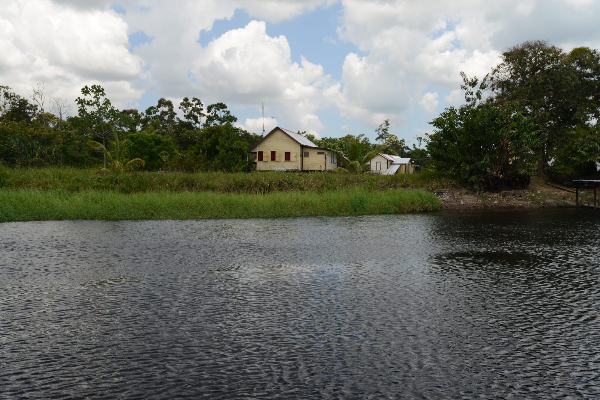
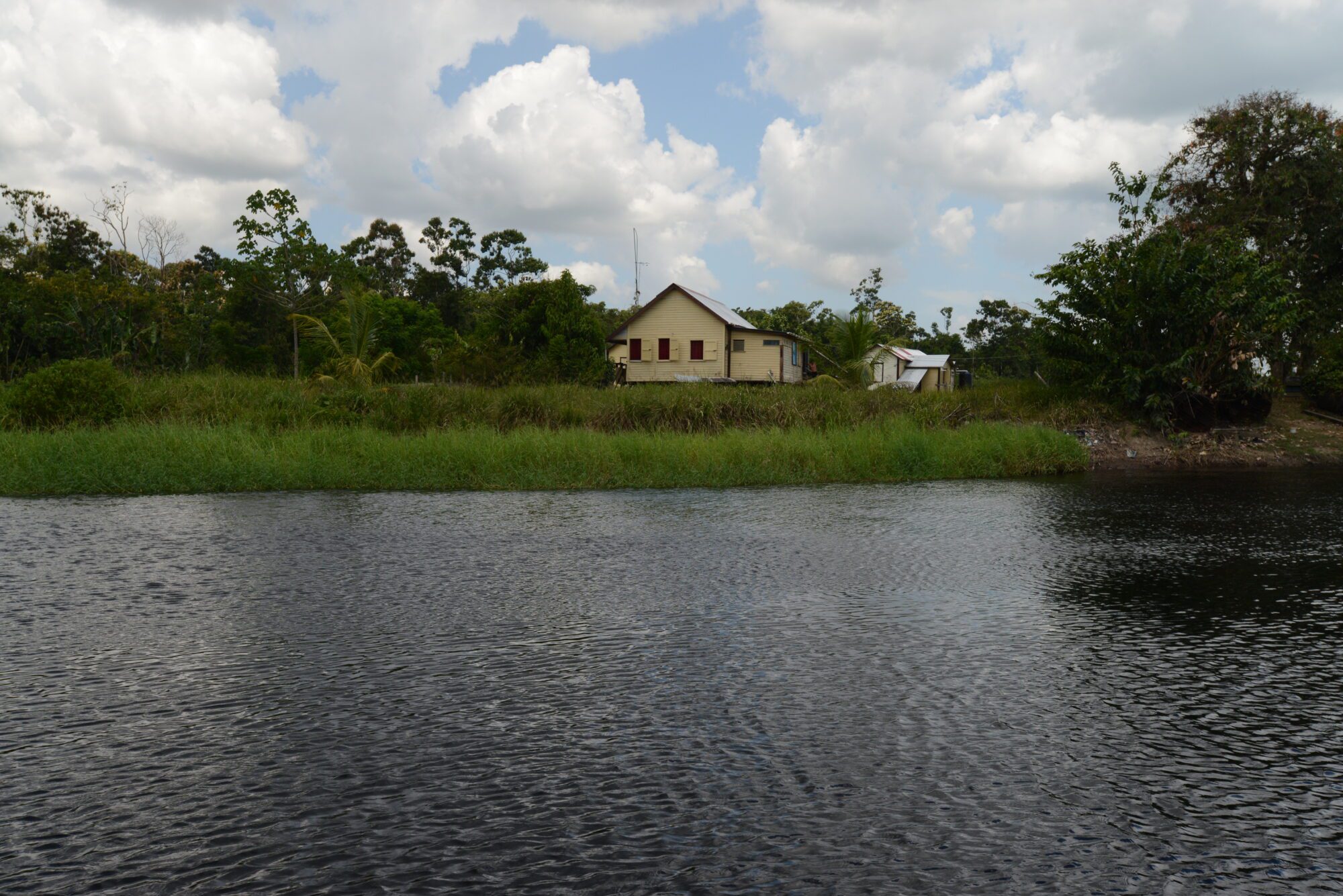
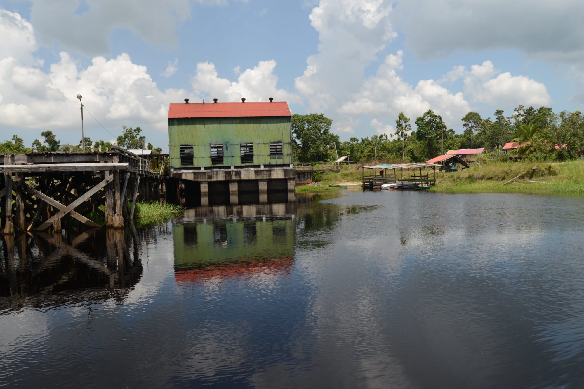
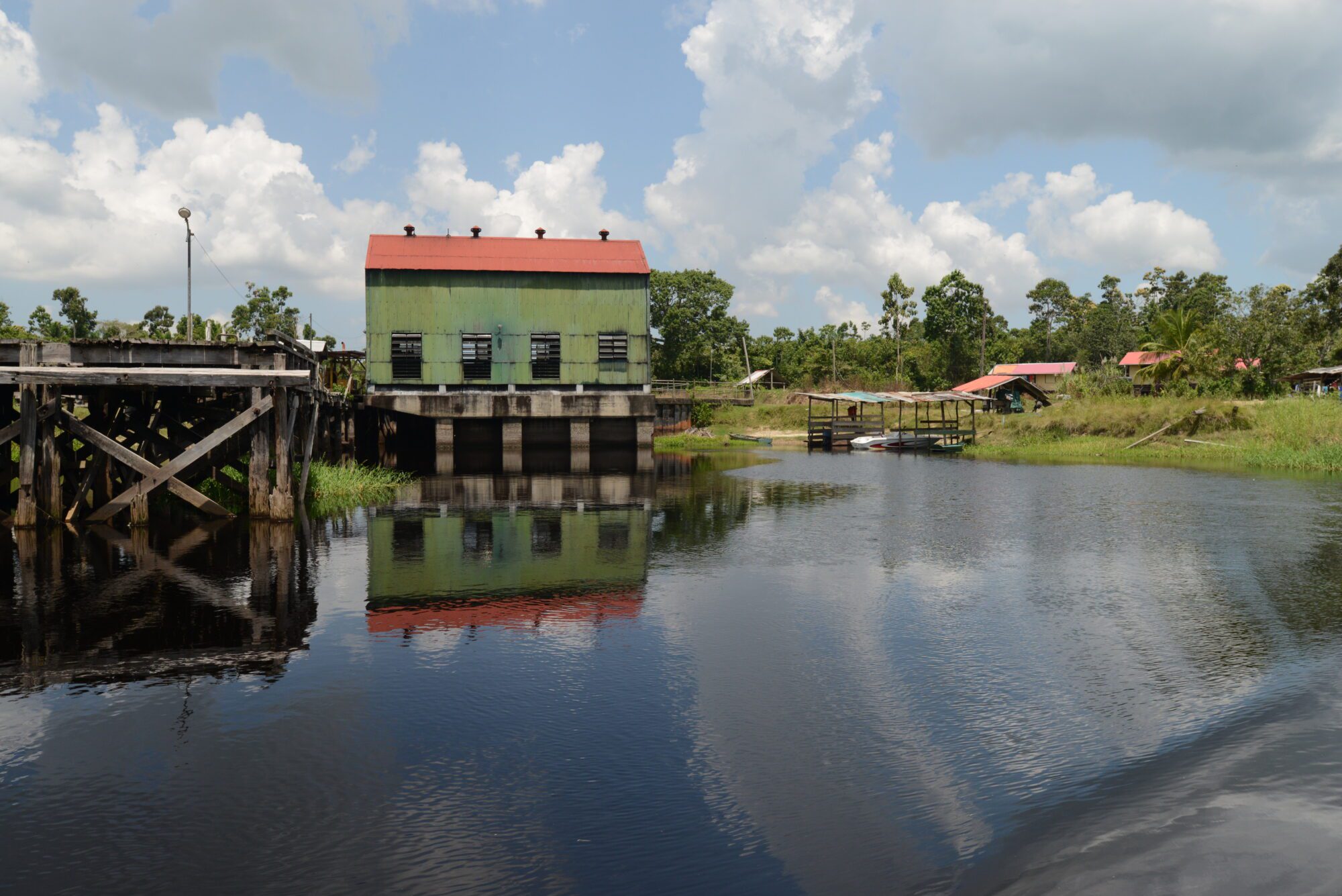
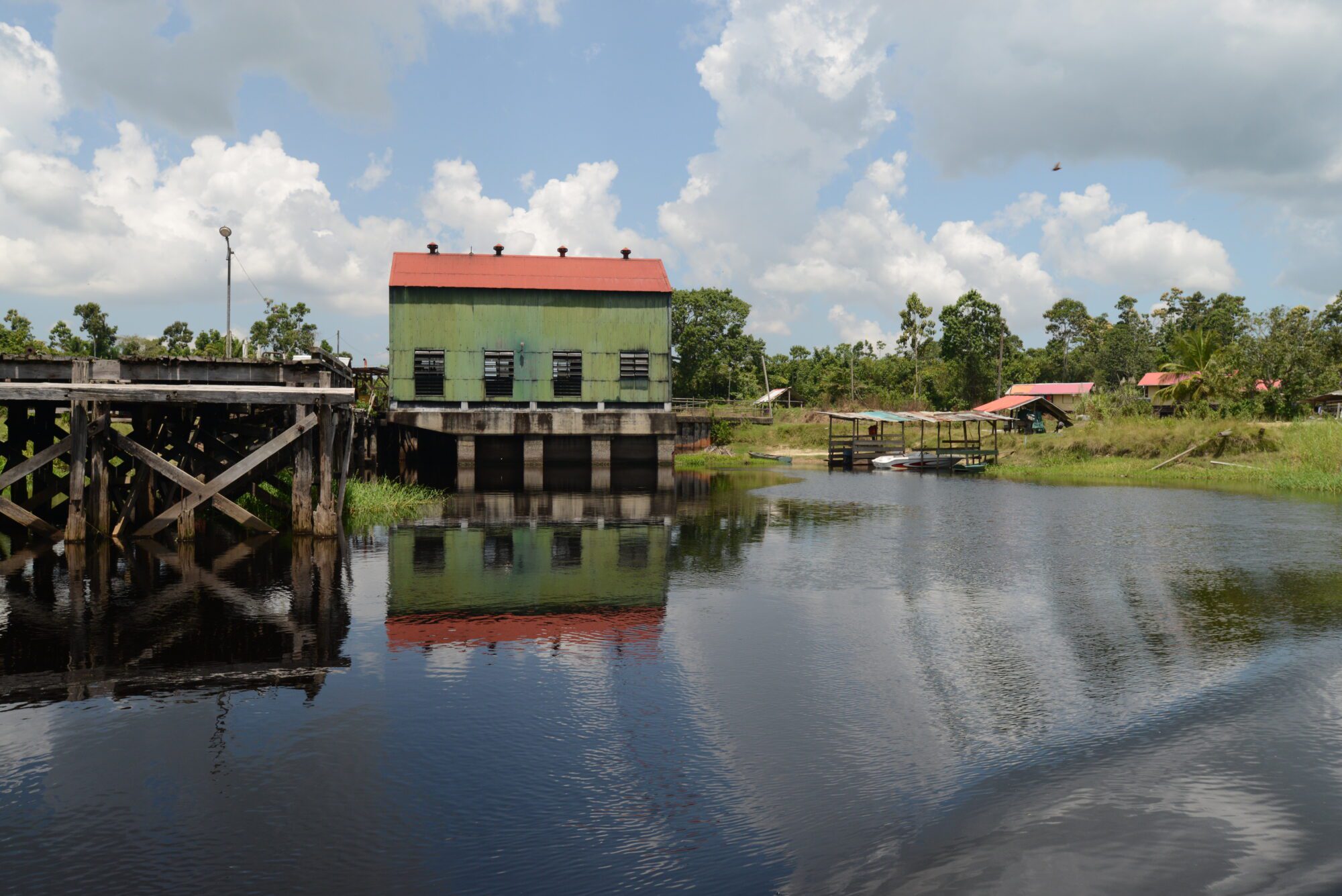
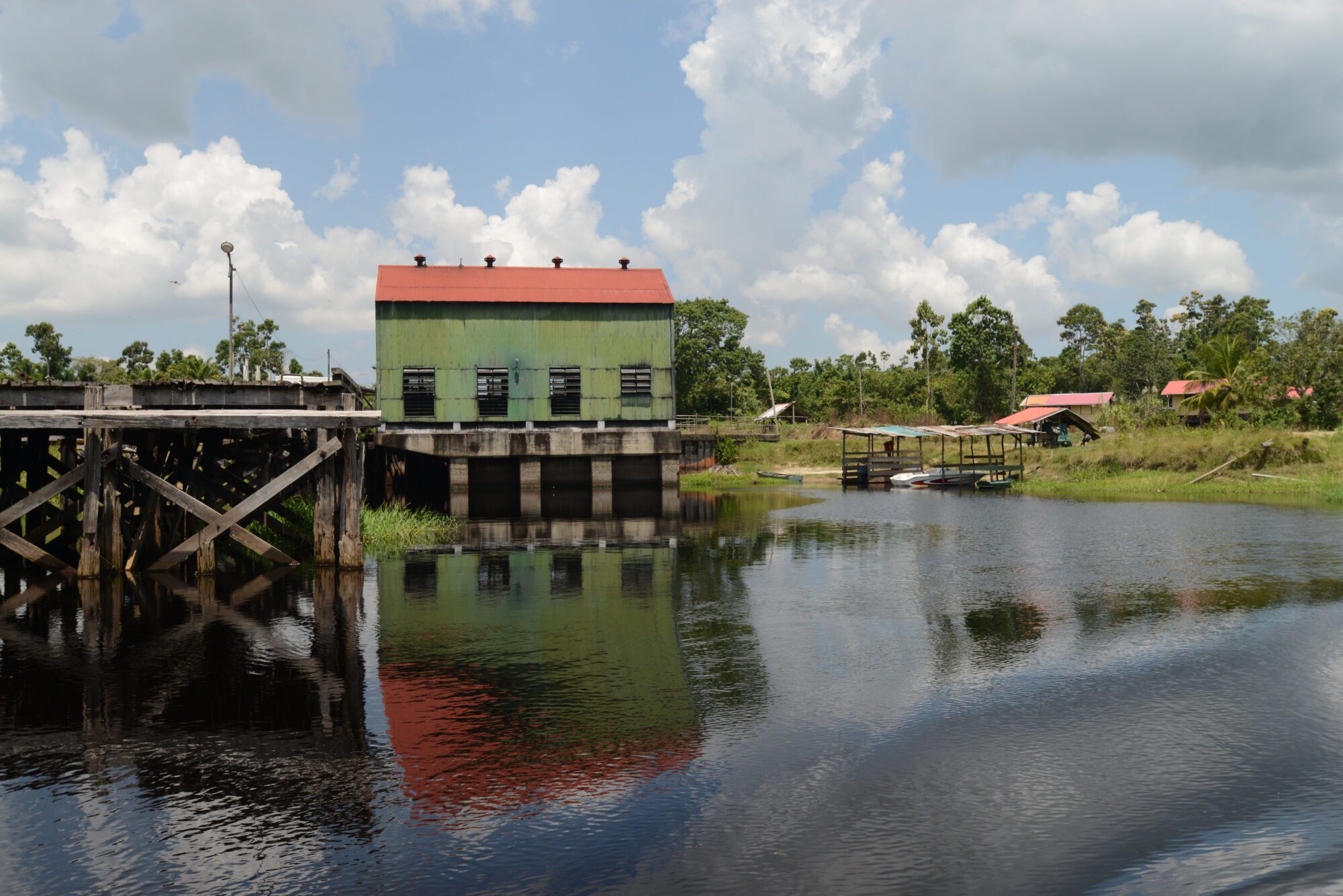
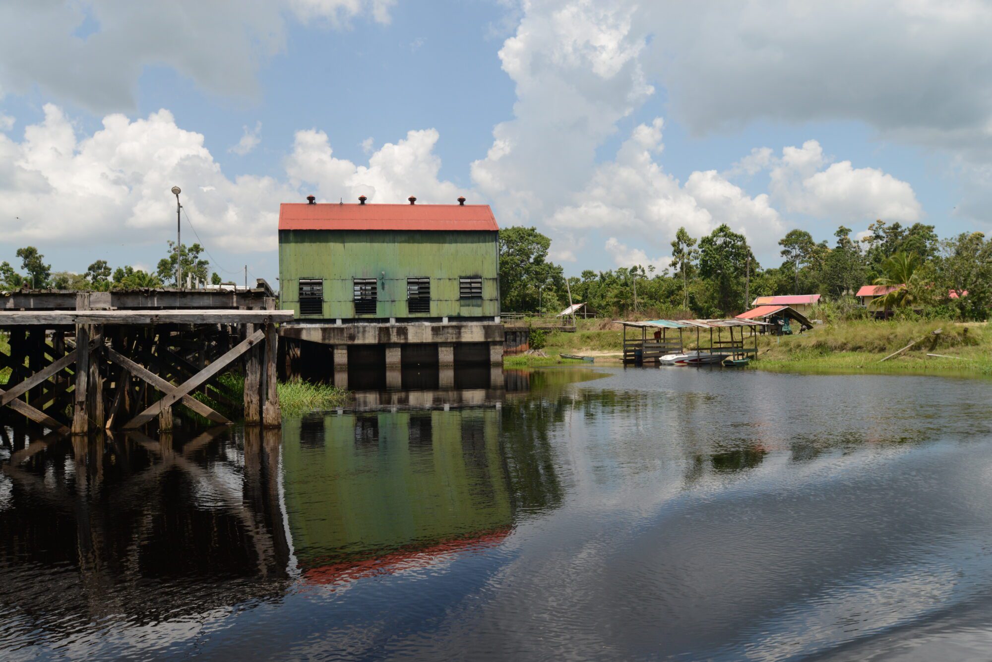
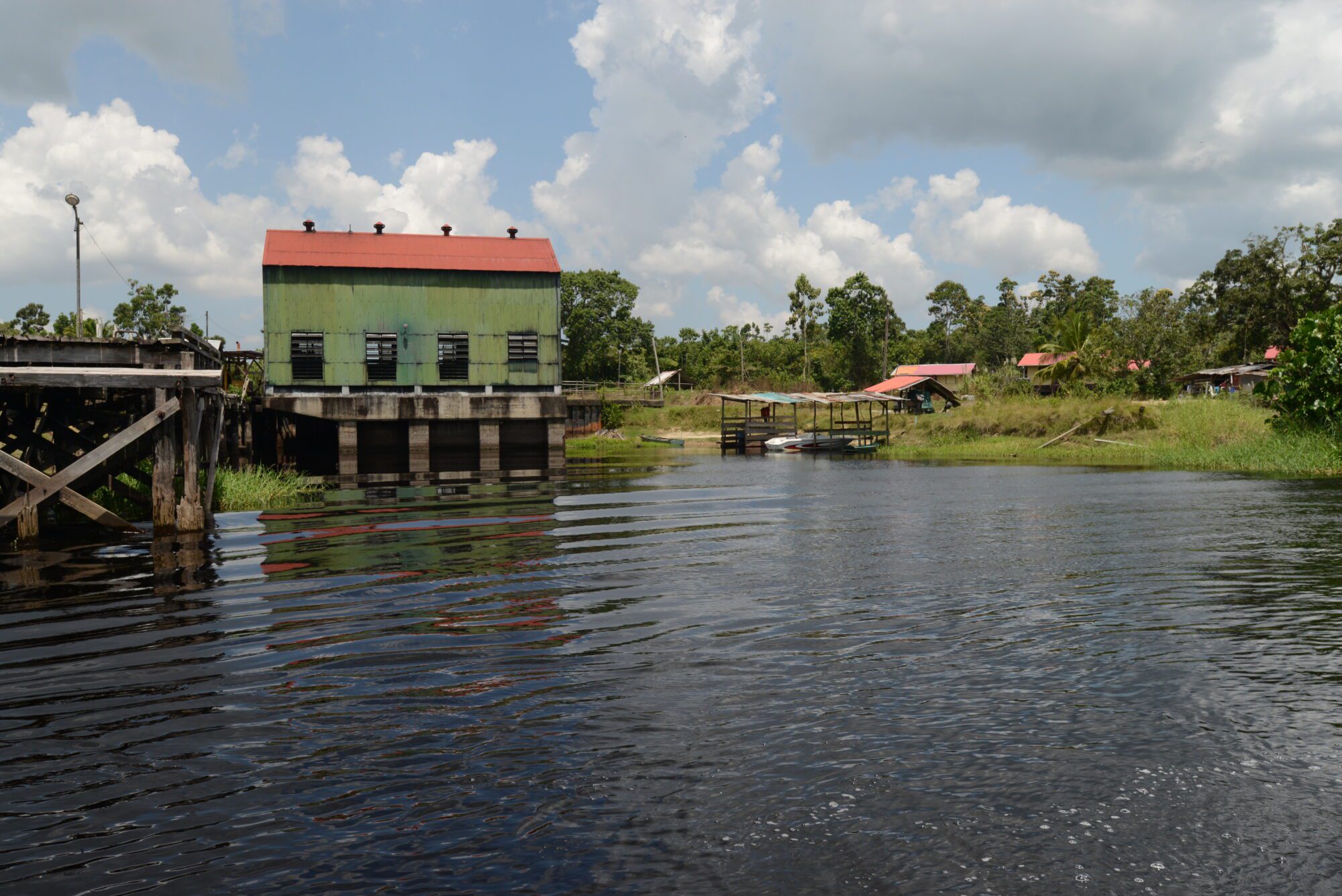
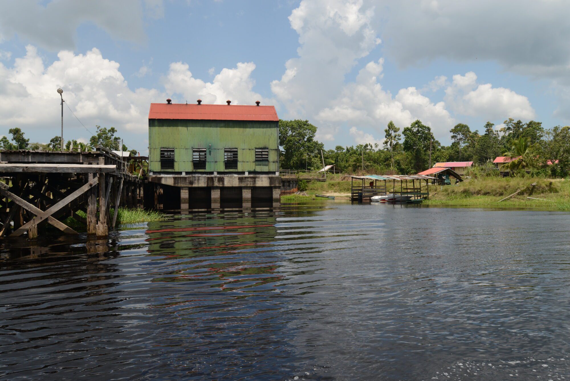
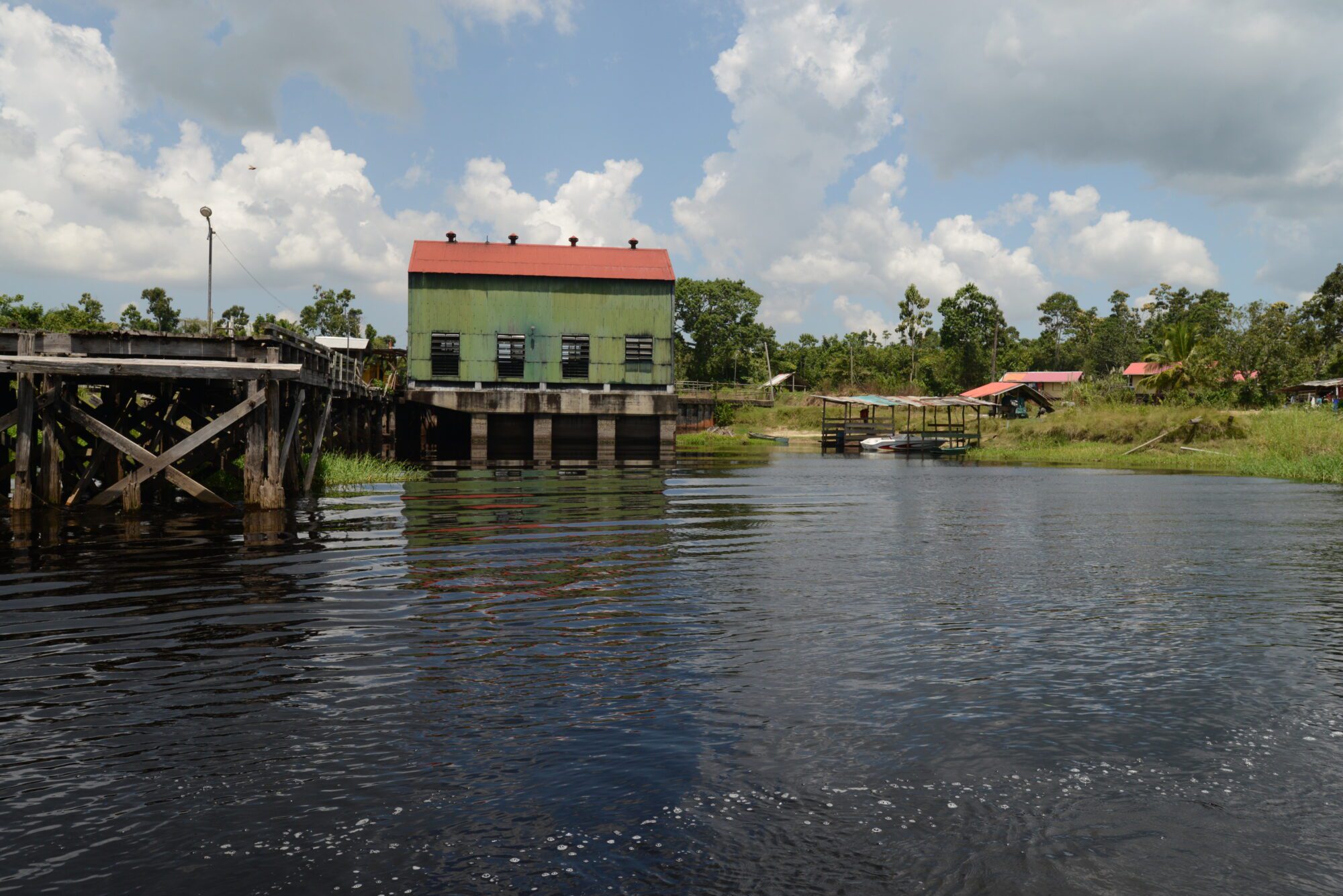
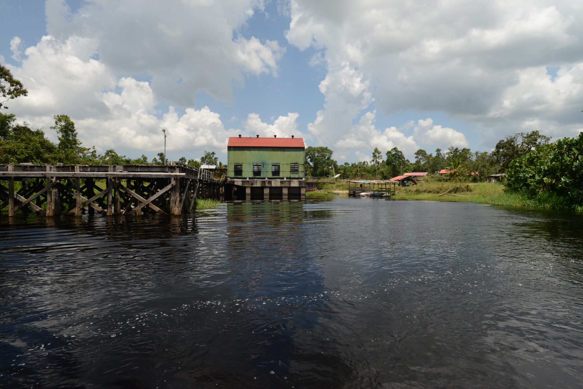
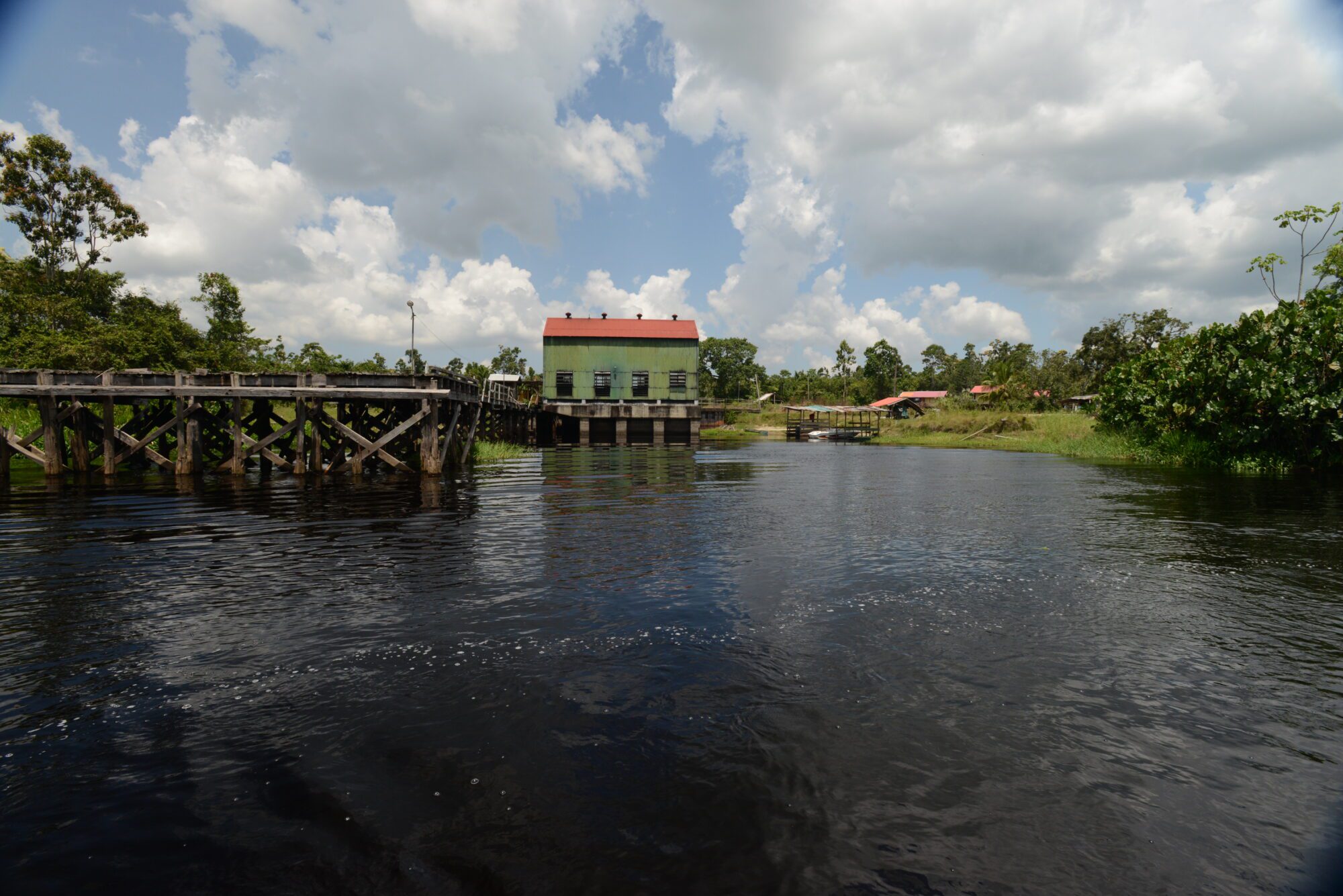
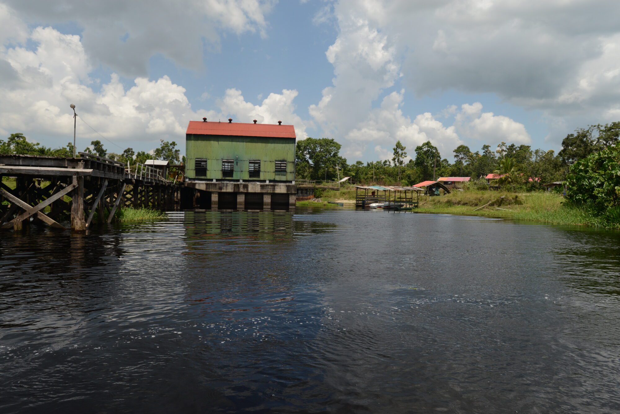
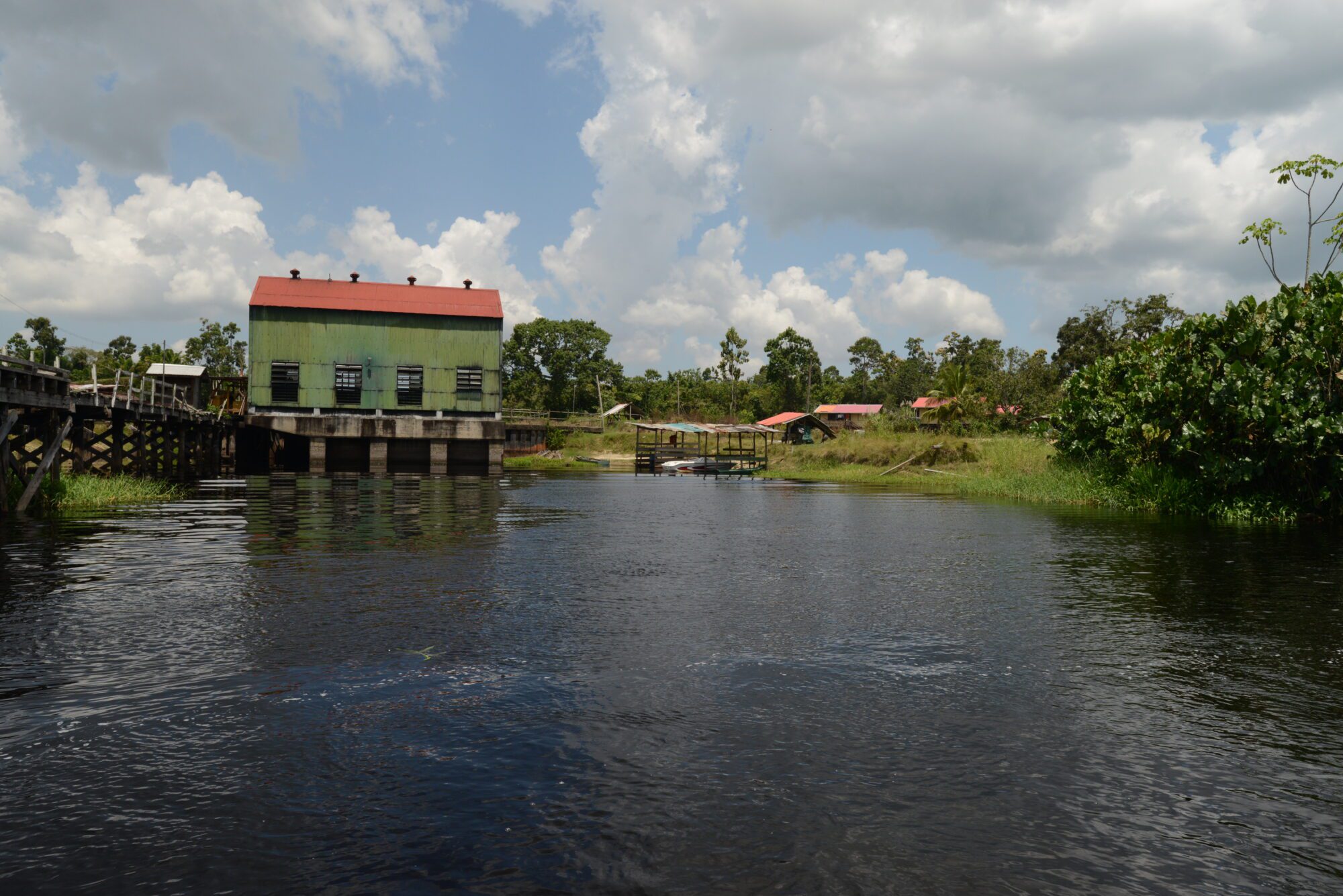
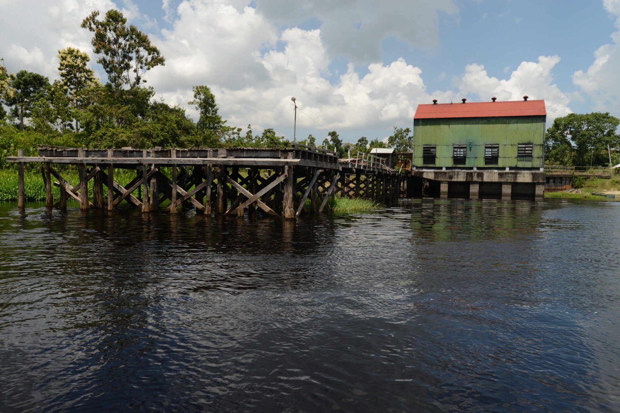
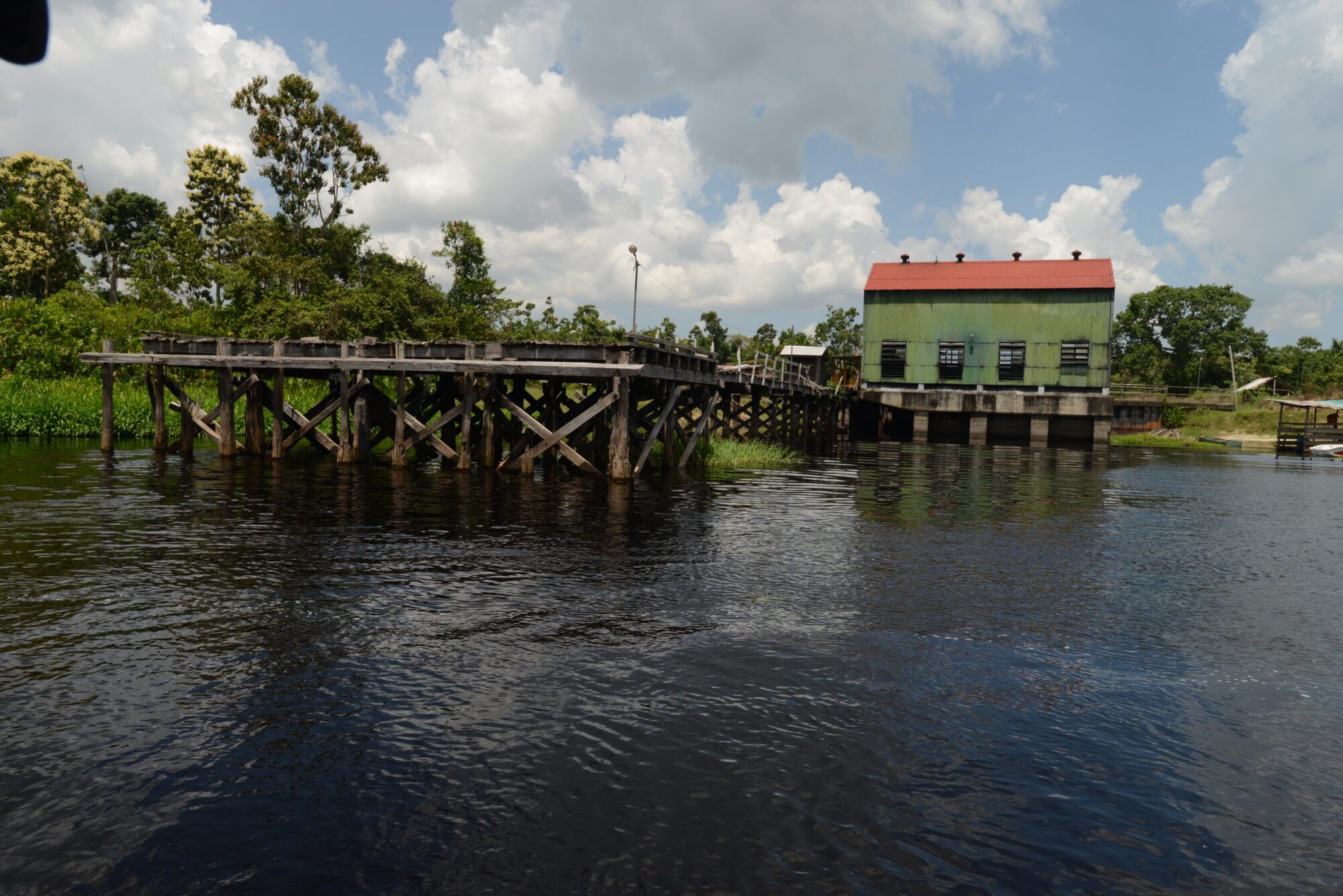
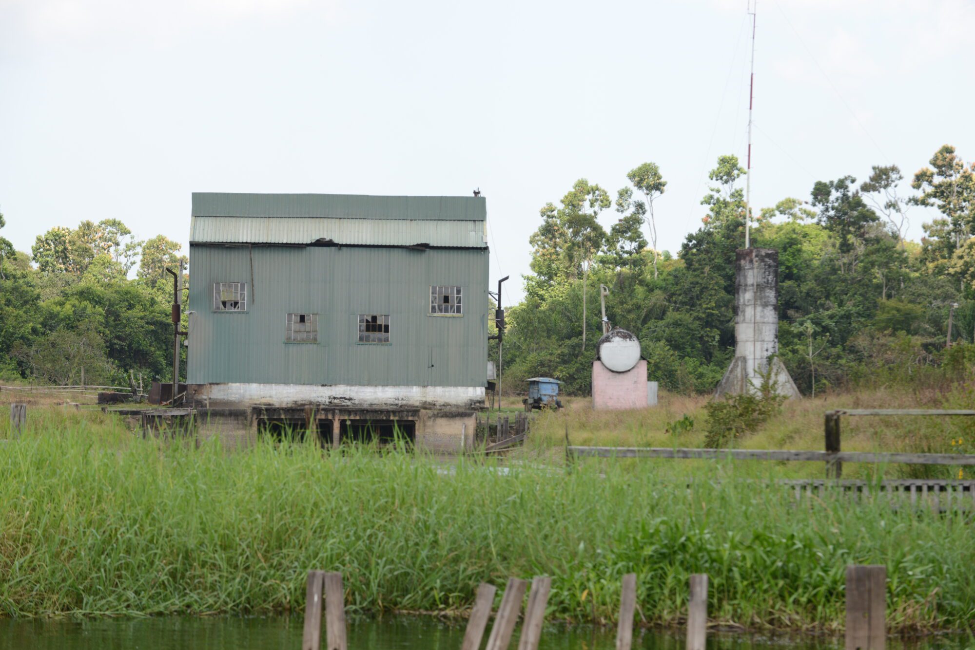
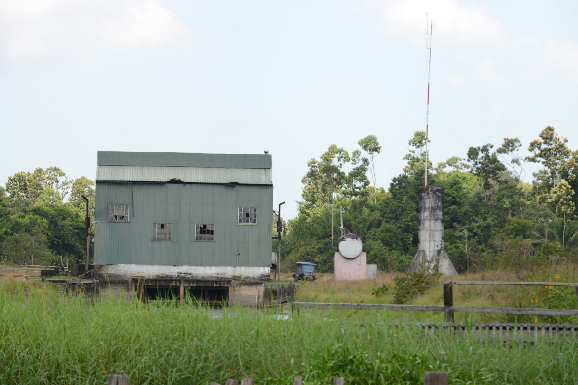
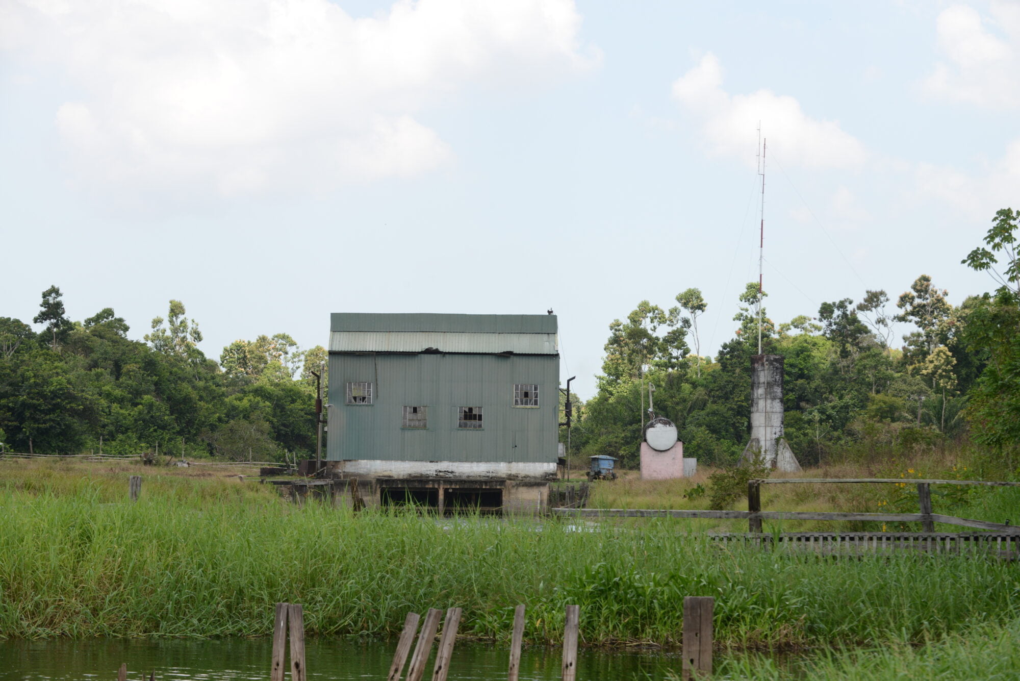
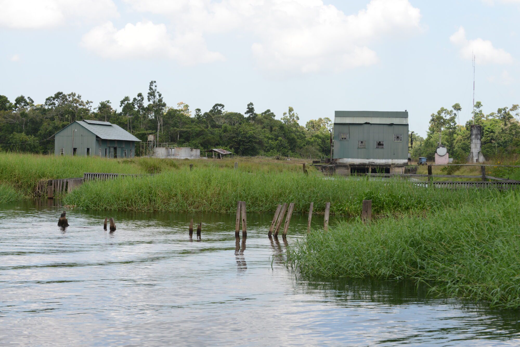
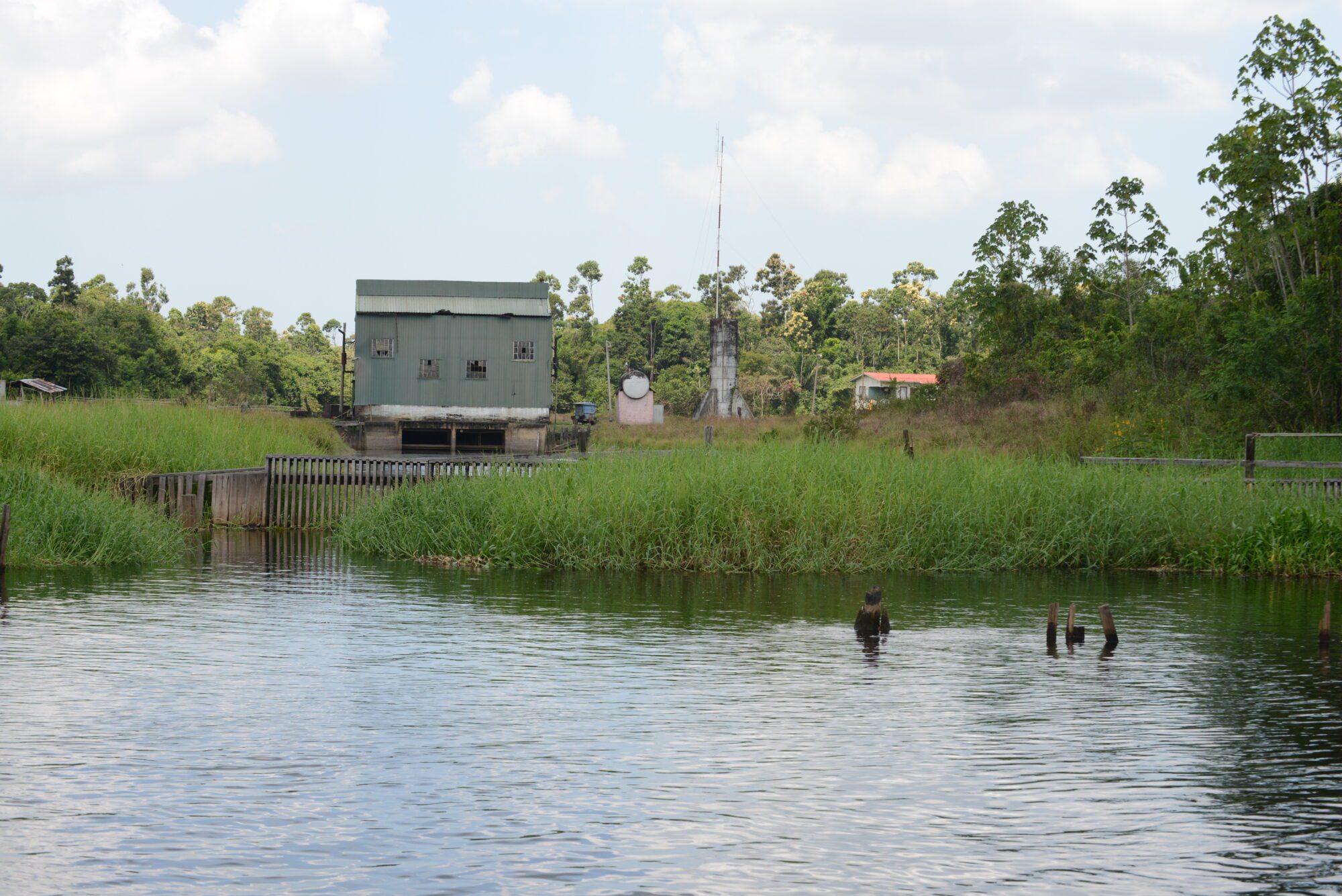
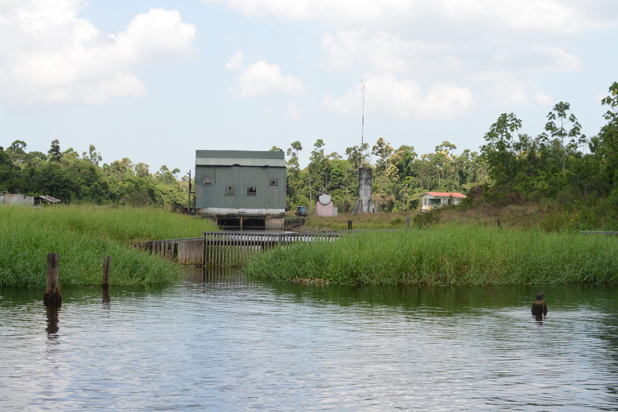
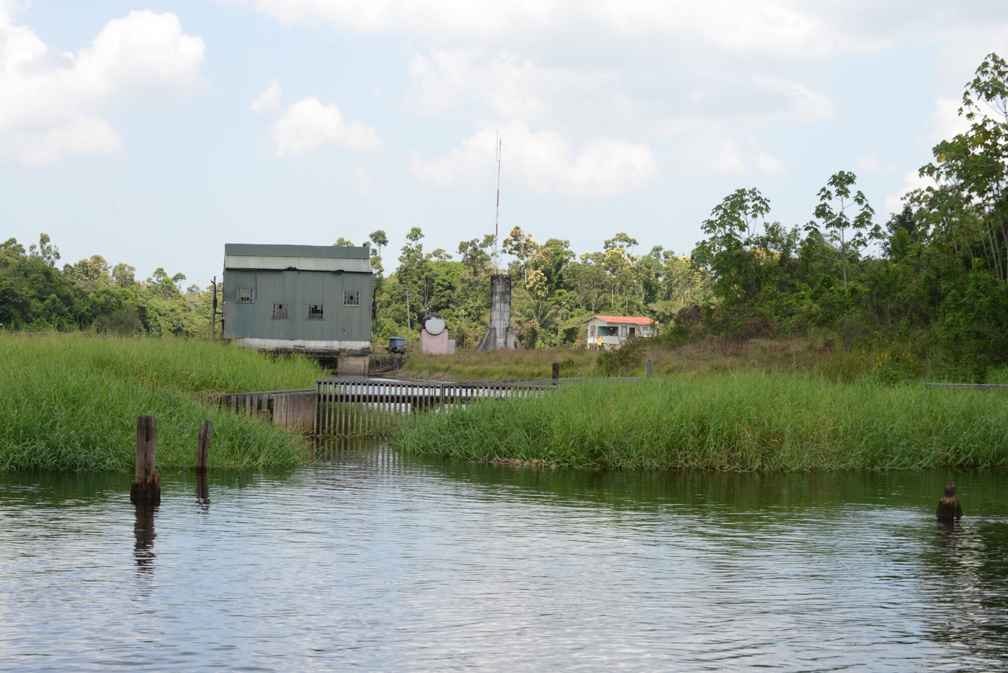
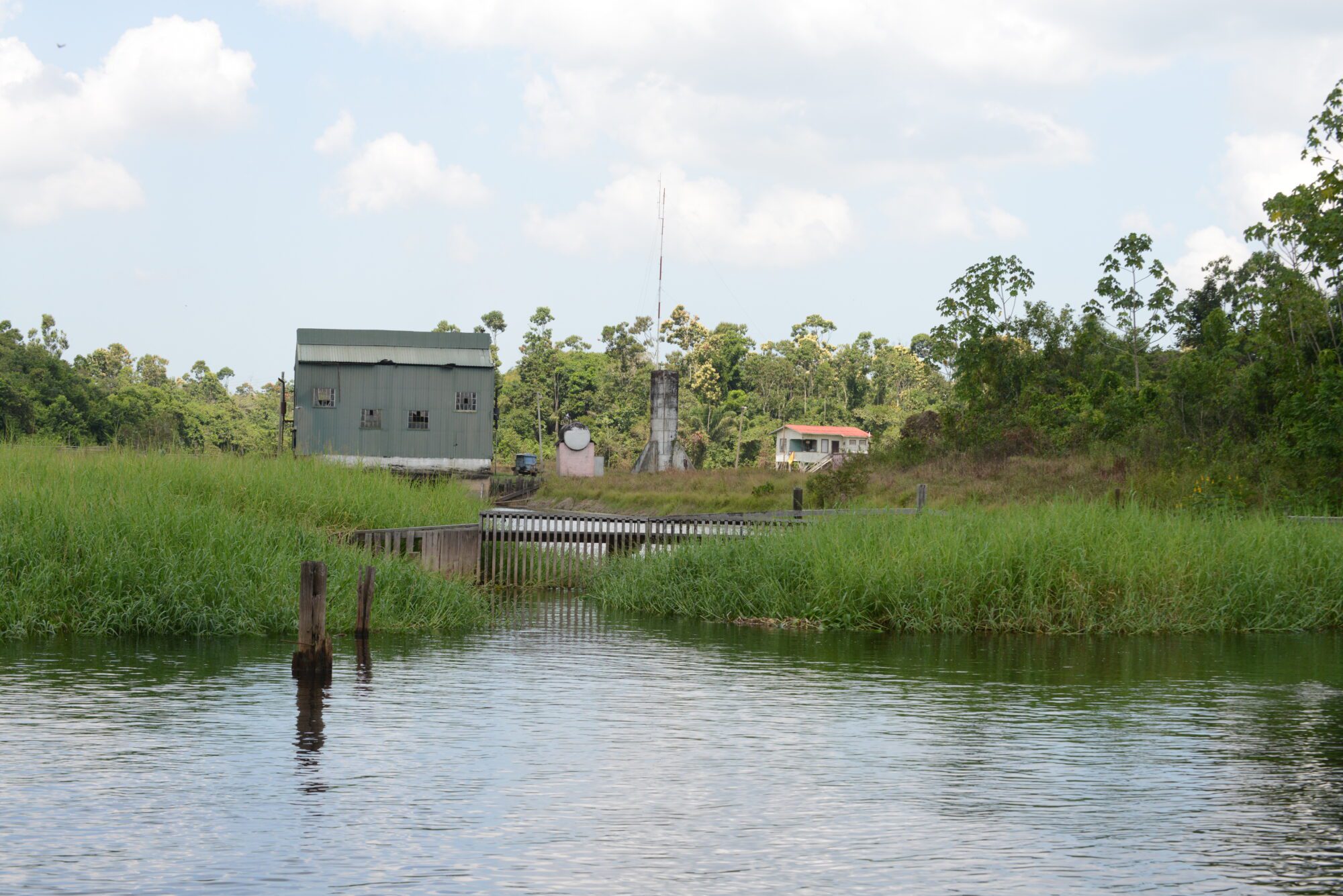
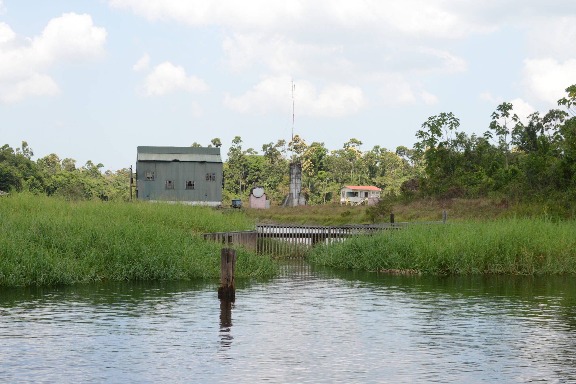
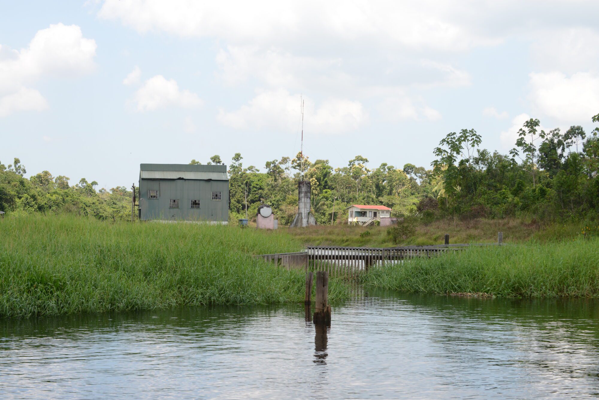
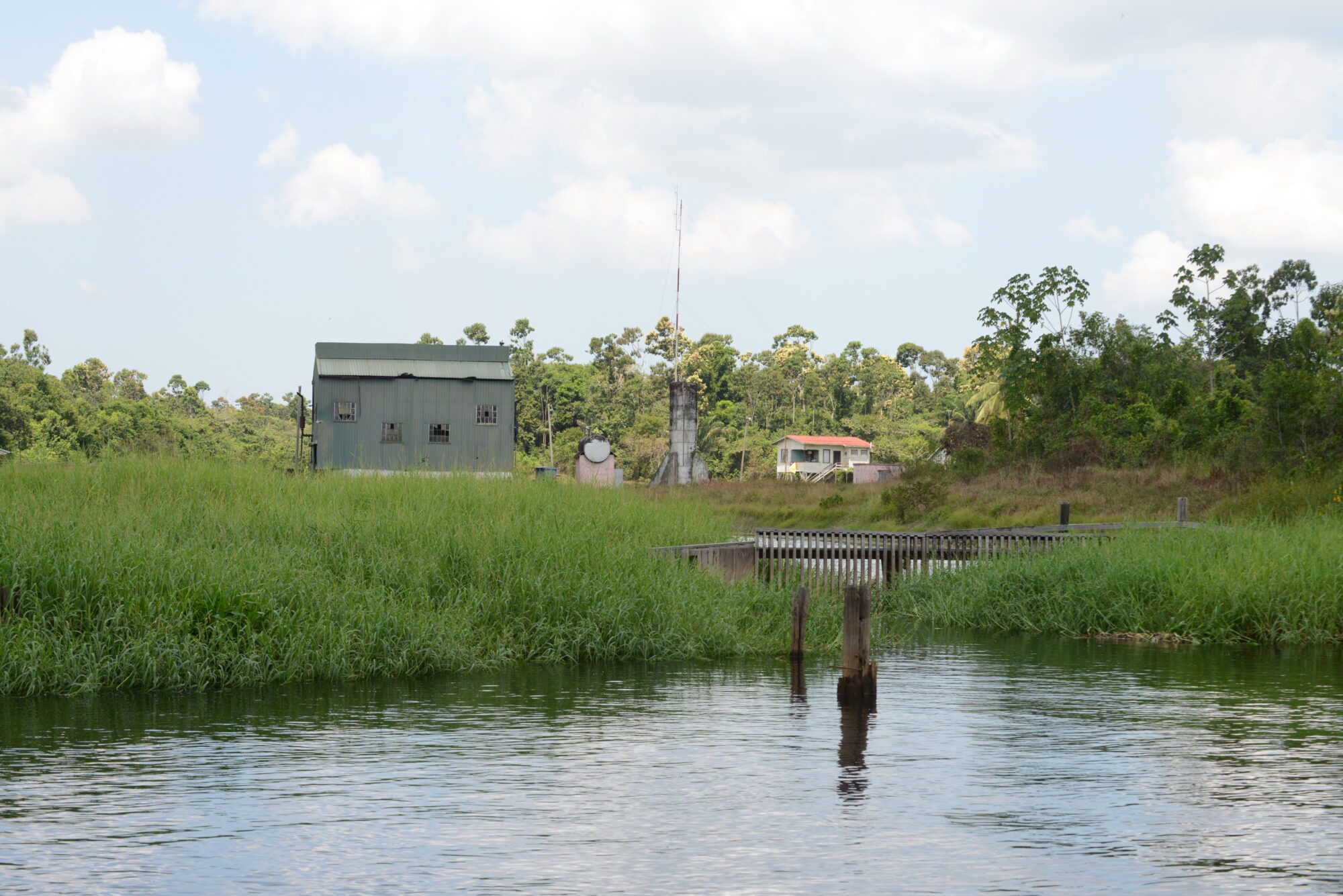
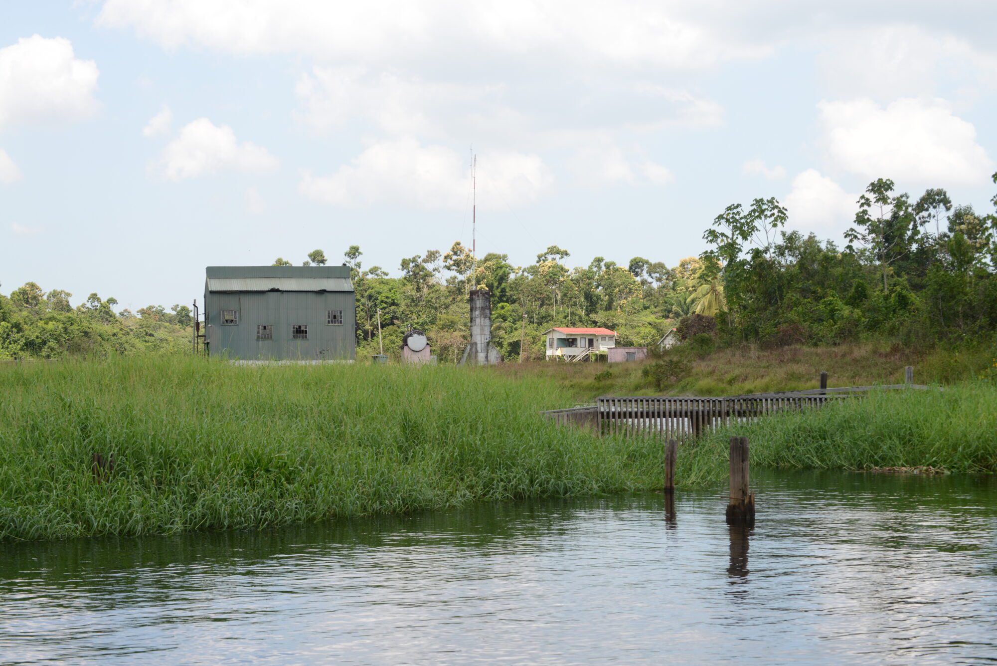
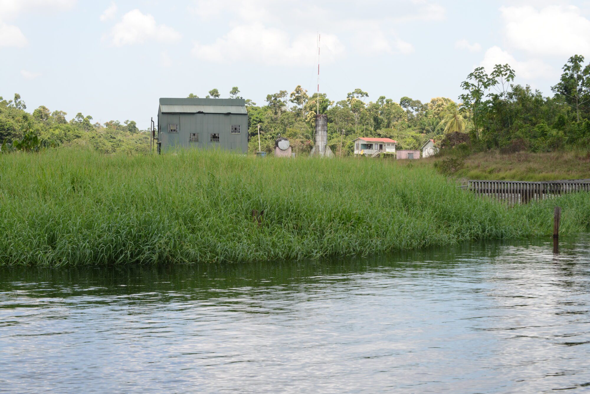
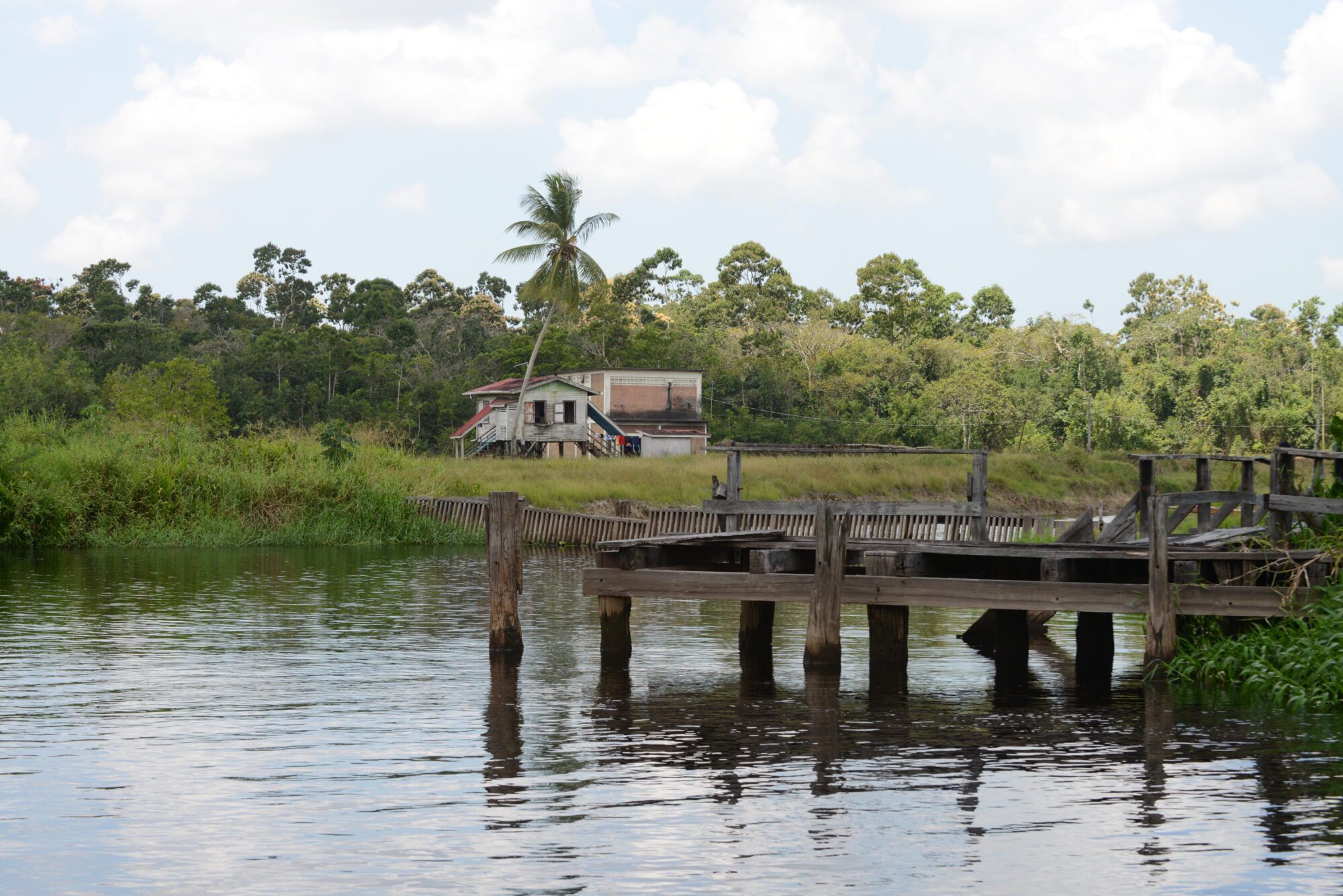
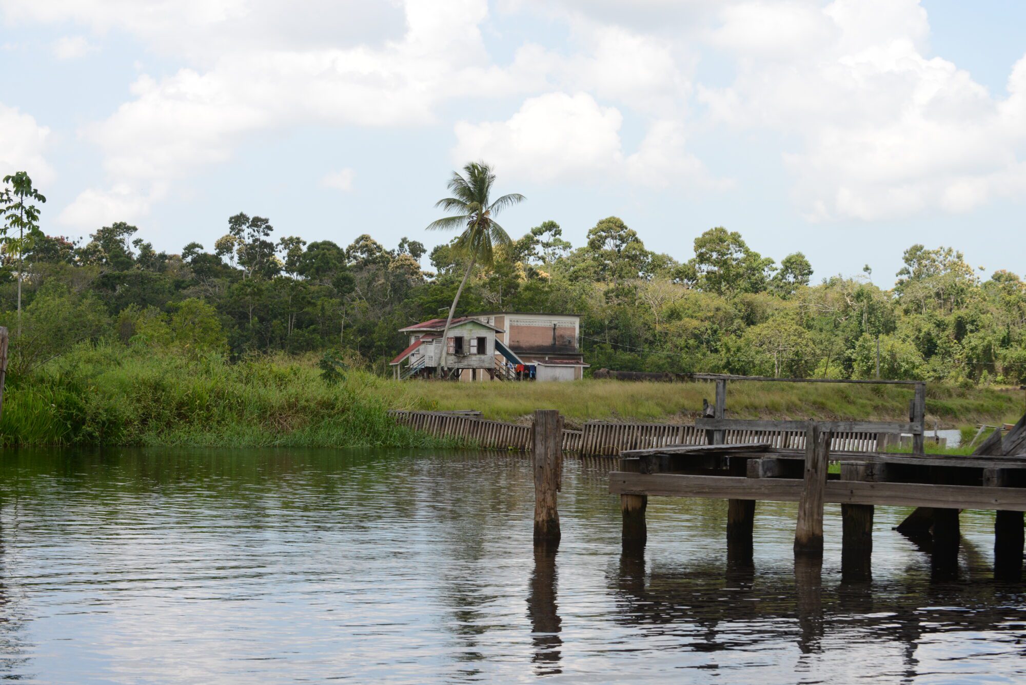
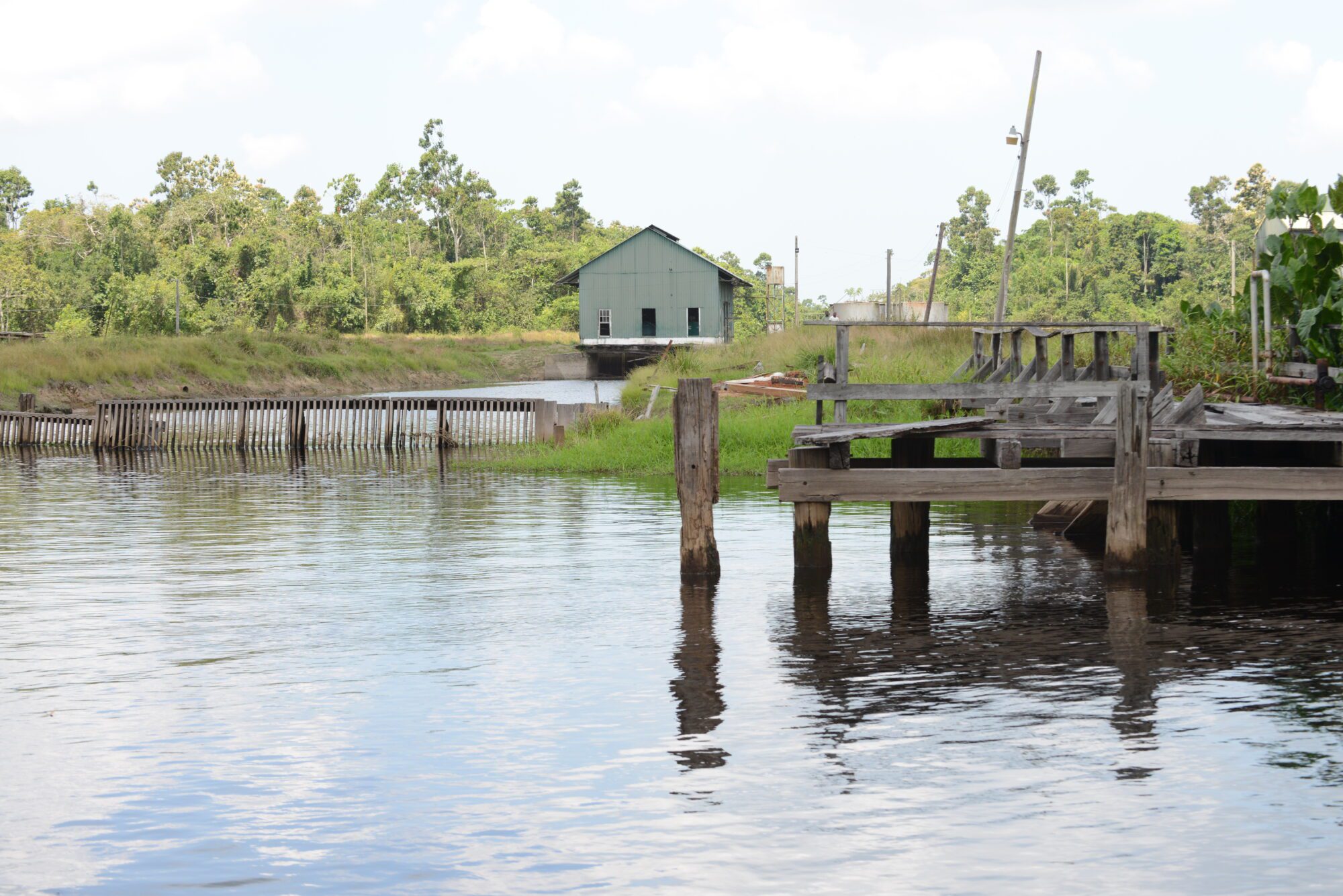
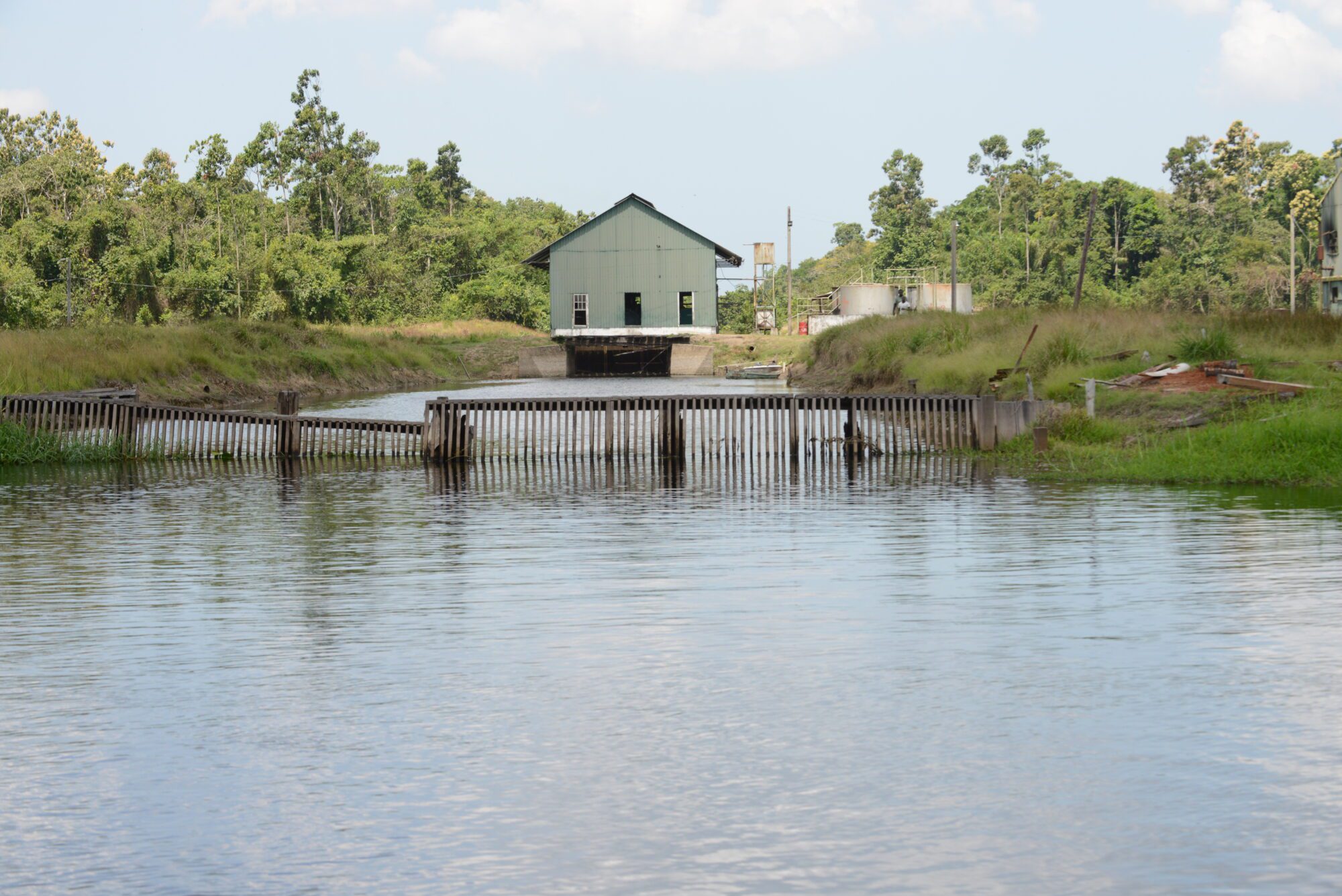
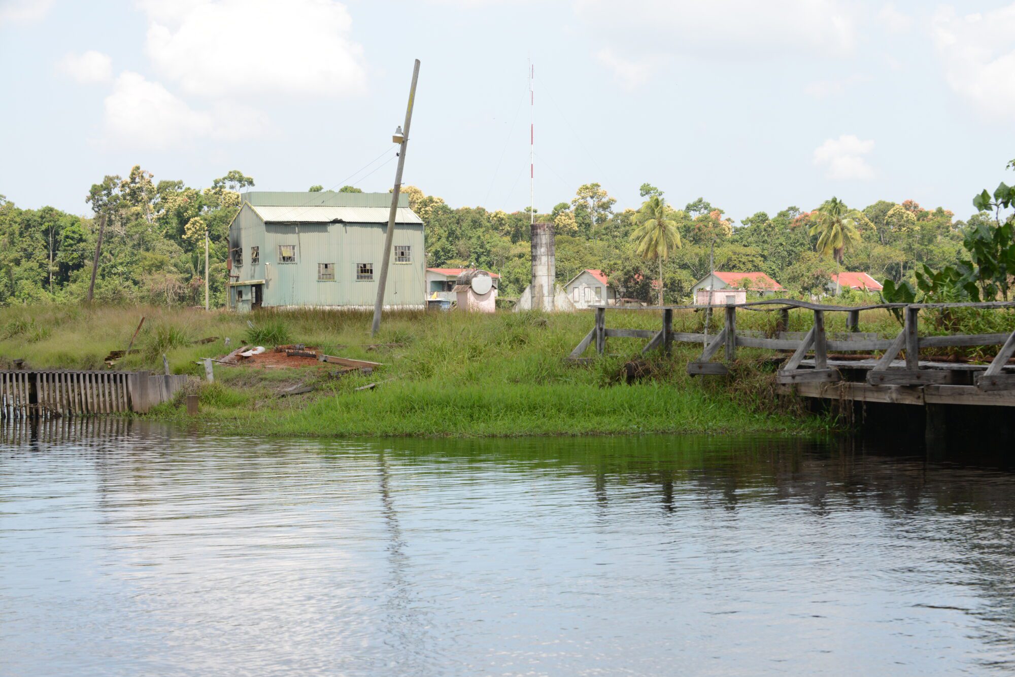
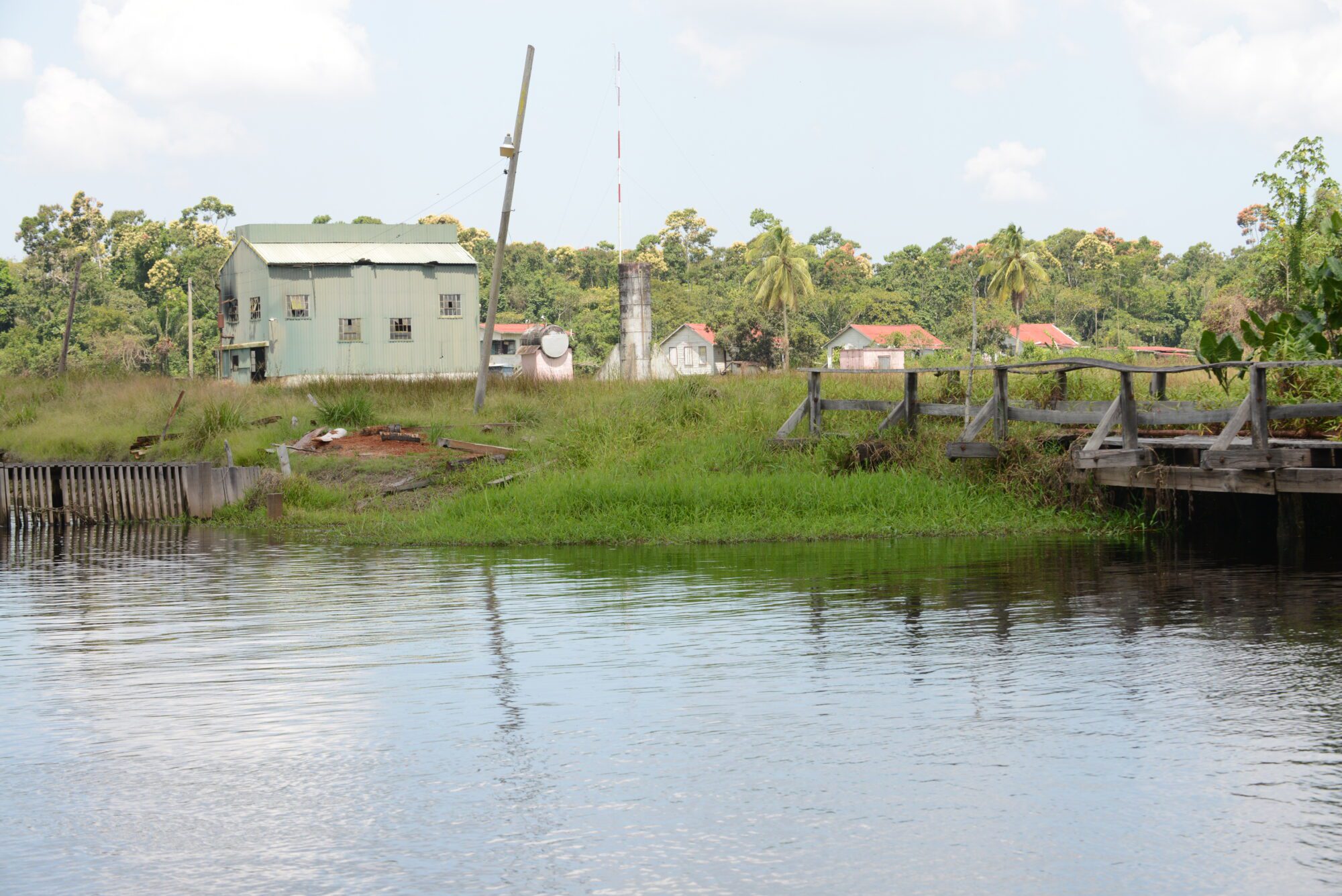
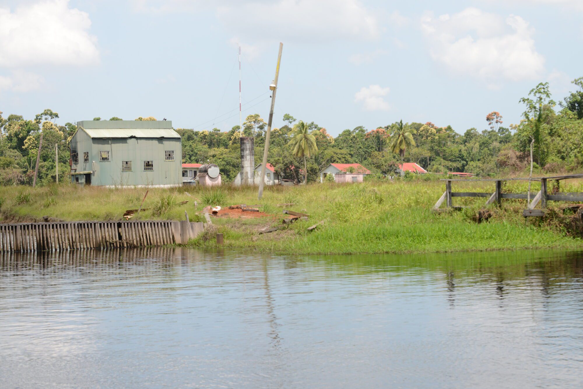
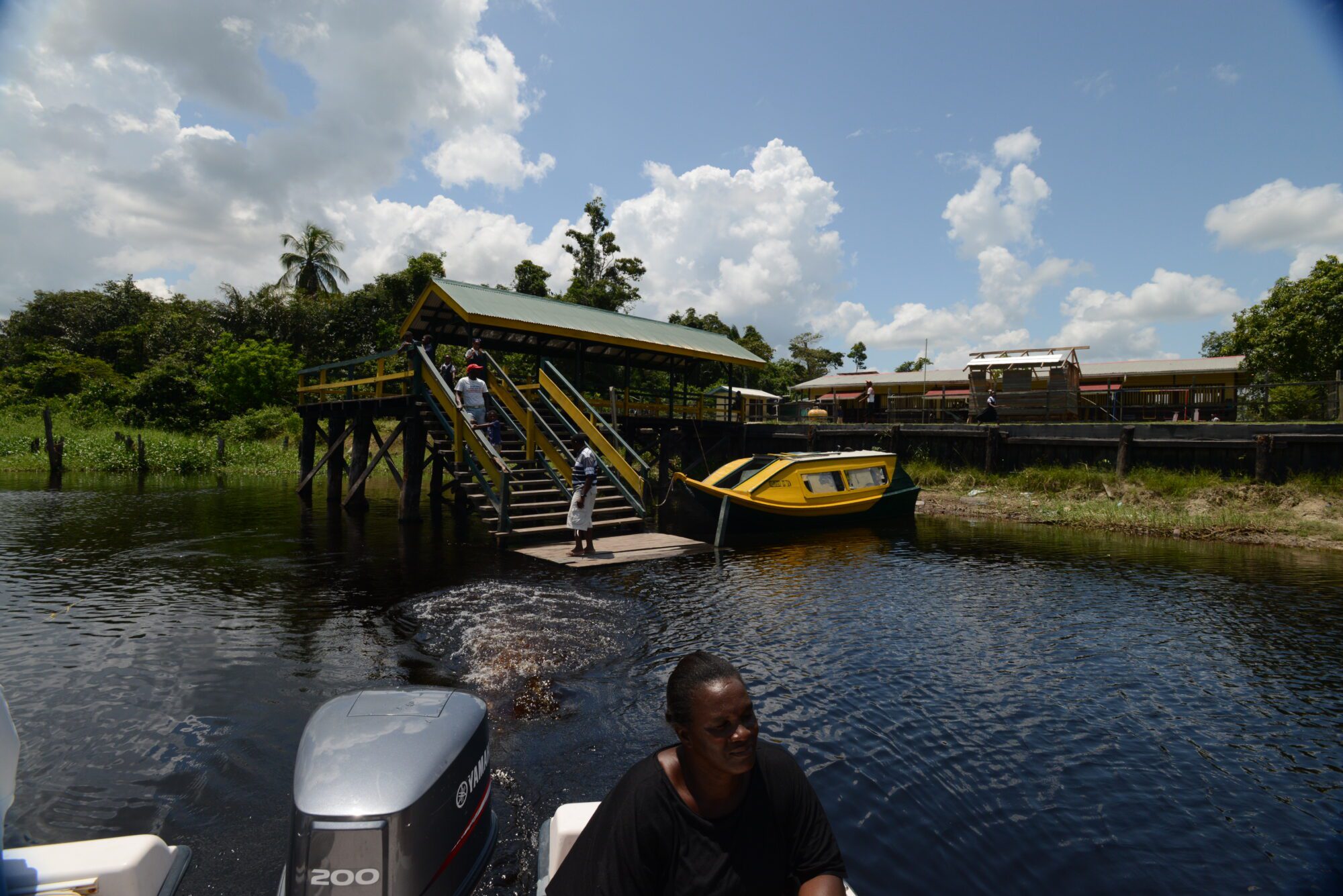
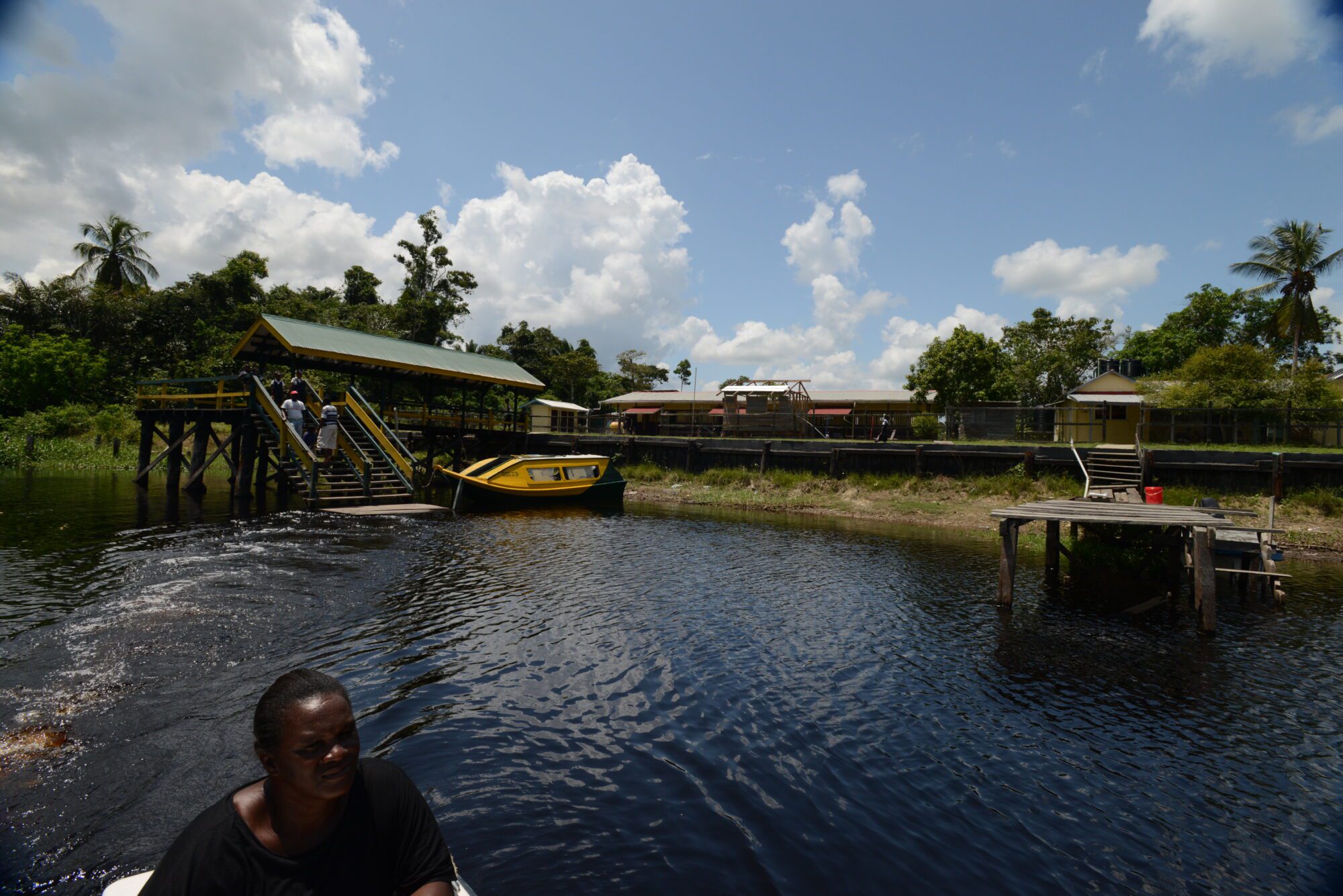
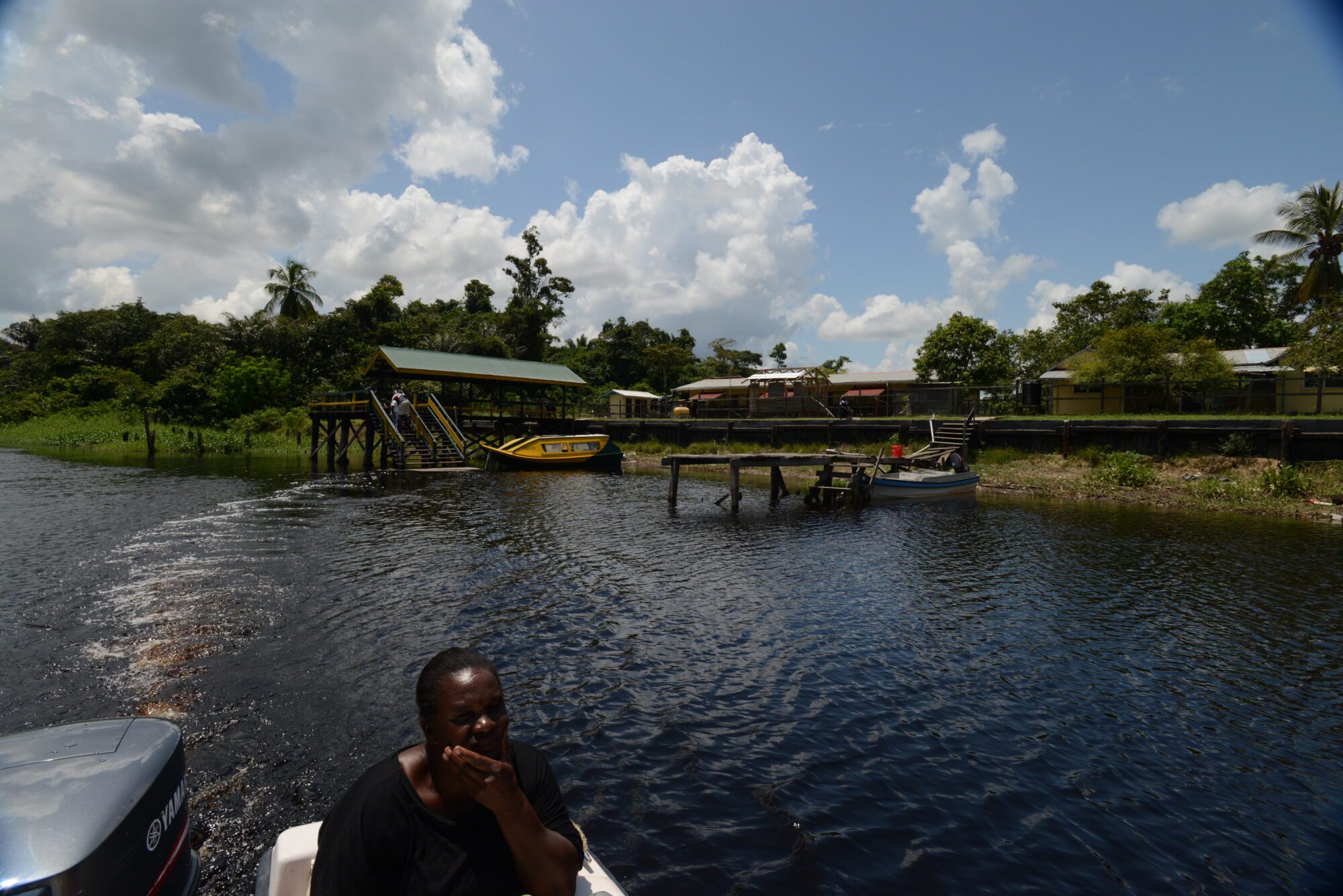
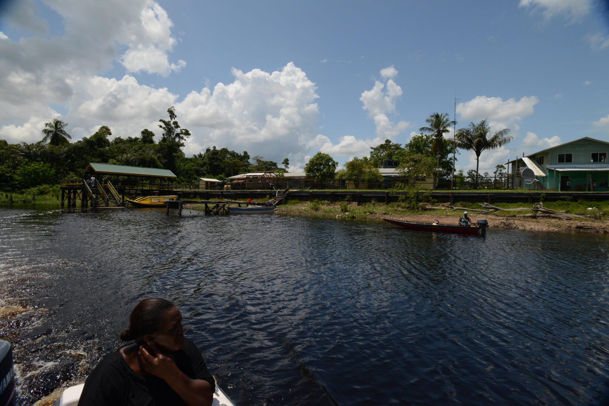
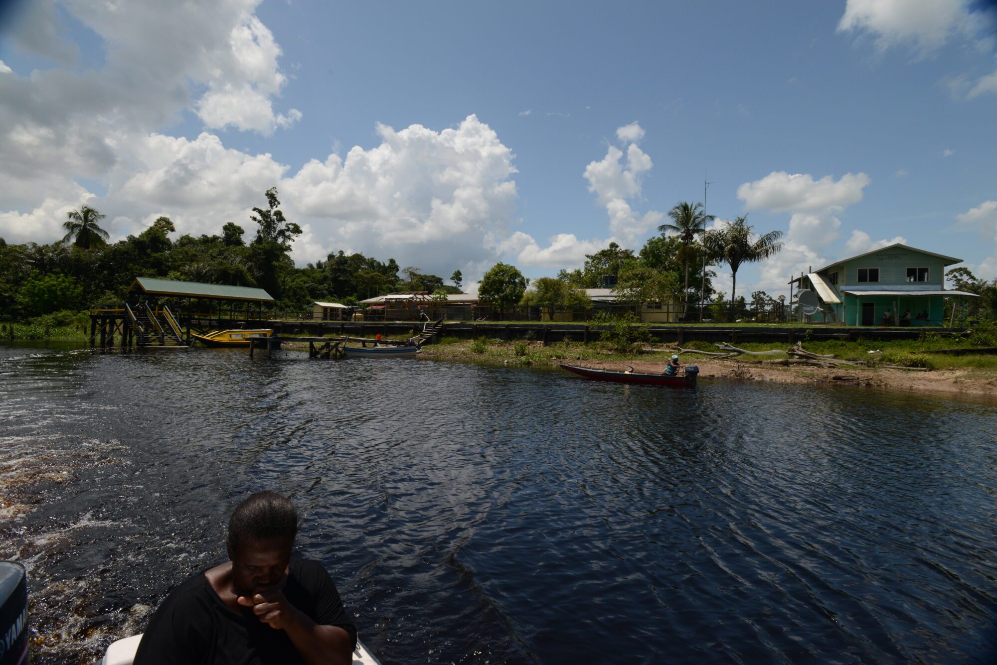
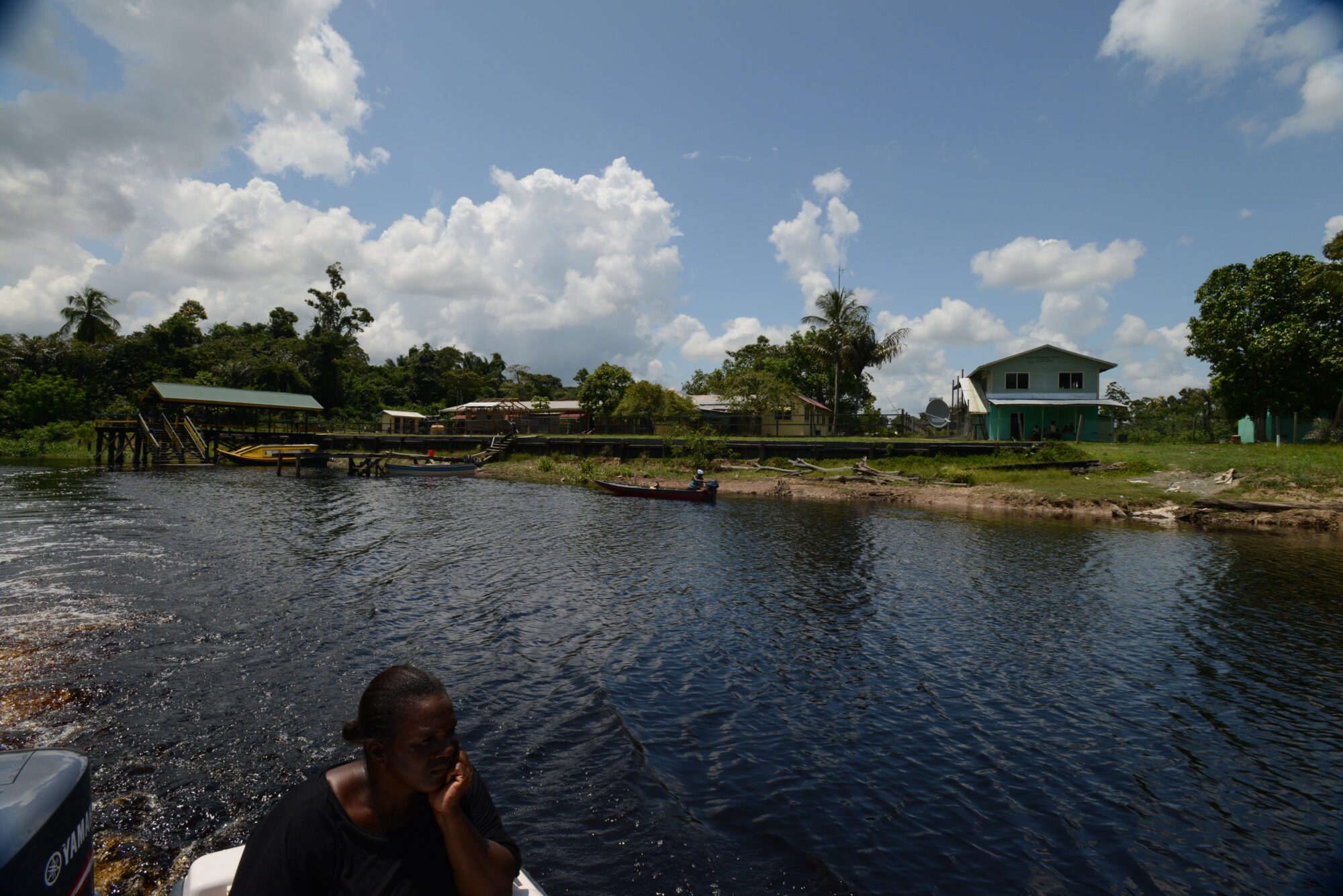
Historical Background / Description: Barakara (Baracara) is a small community located approximately 120.7 kilometres (75 miles) from the town of New Amsterdam, Berbice, on the left Bank of the Canje River. The Barakara Mission was first established at a location referred to as Catharinasburgh, a small wood cutting settlement established approximately 152.9 kilometres (95 miles) from New Amsterdam circa 1839. It is believed that the mission was later moved to its current location circa 1846. The people of Barakara are believed to be descendants of Maroons.
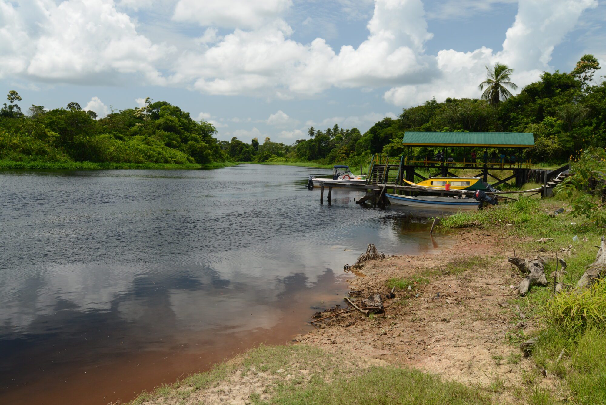
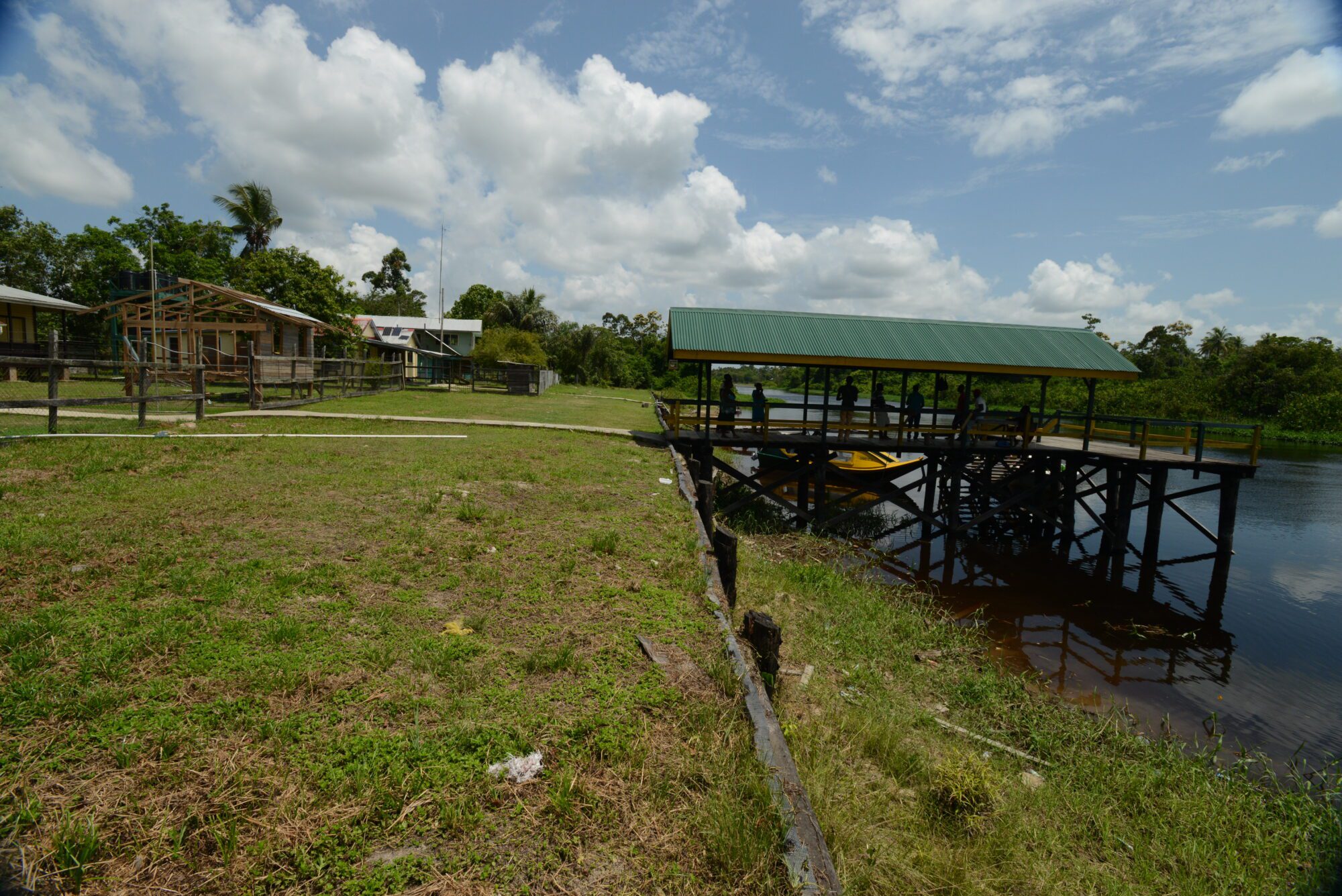
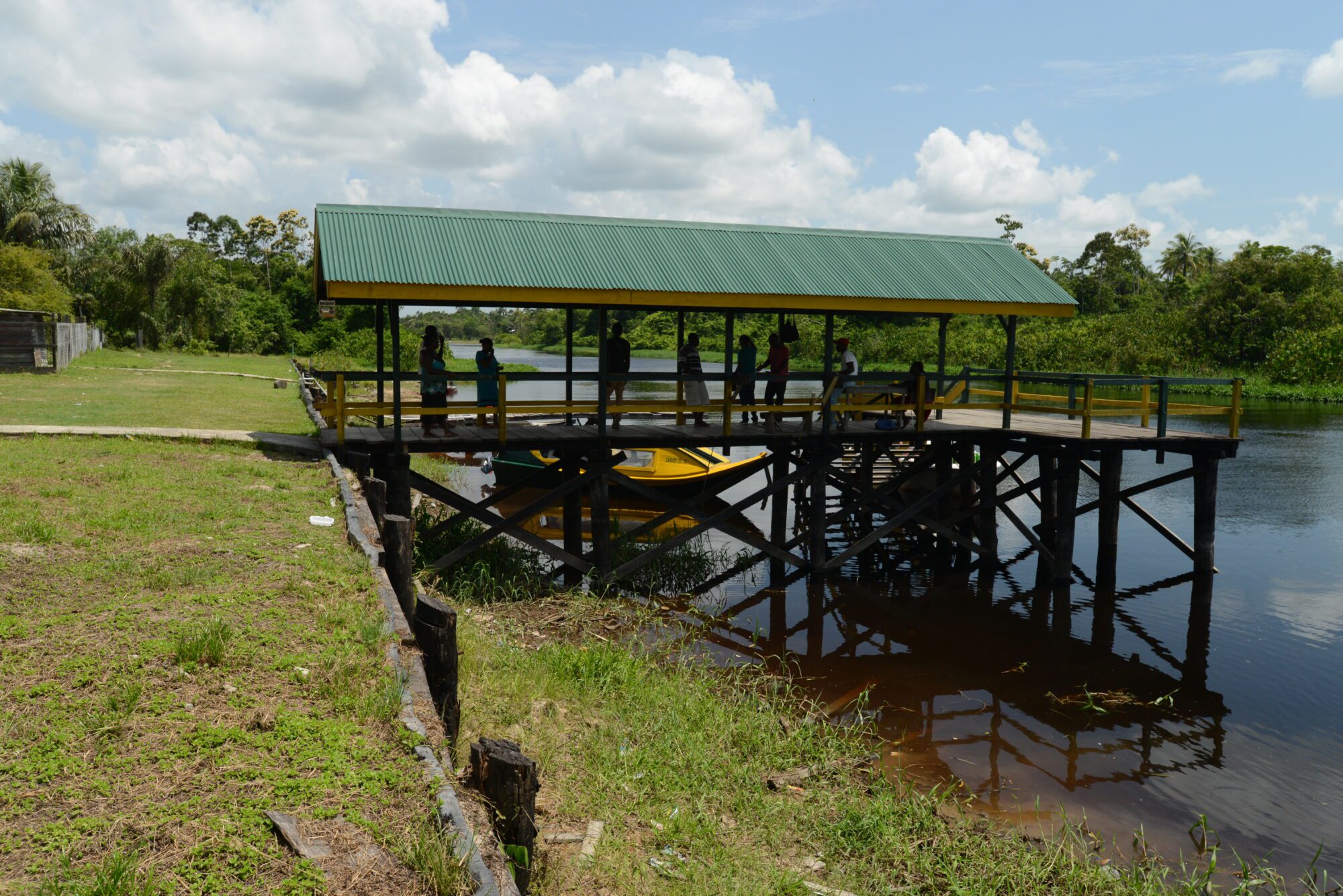
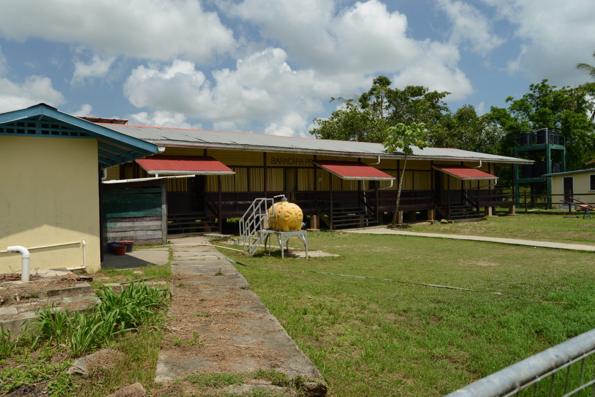
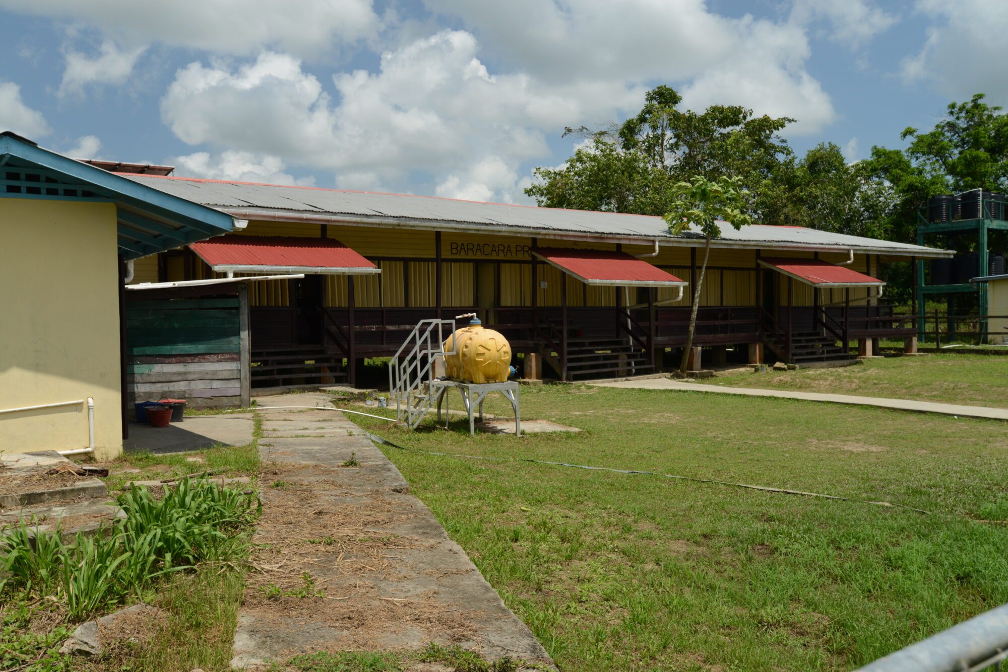
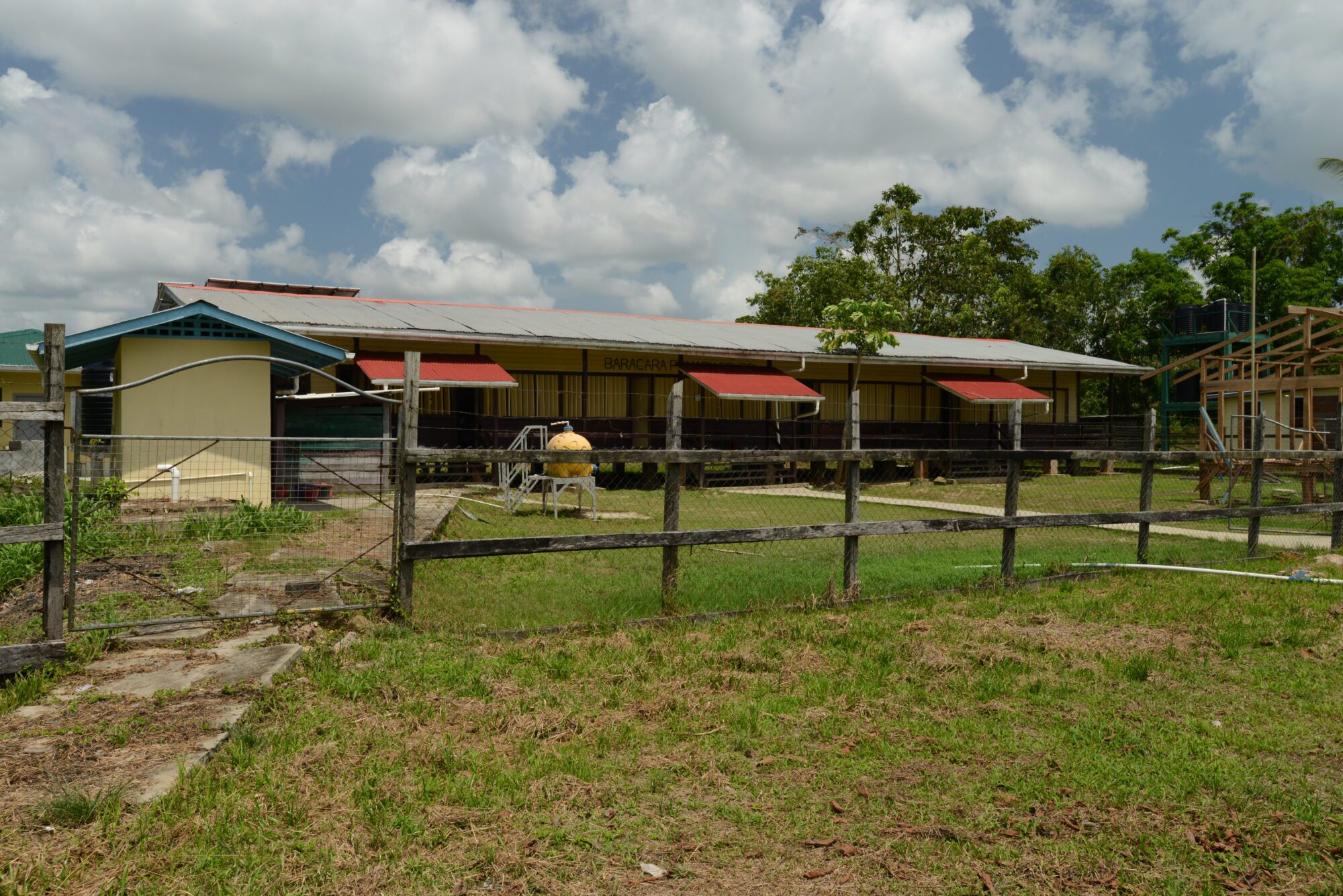
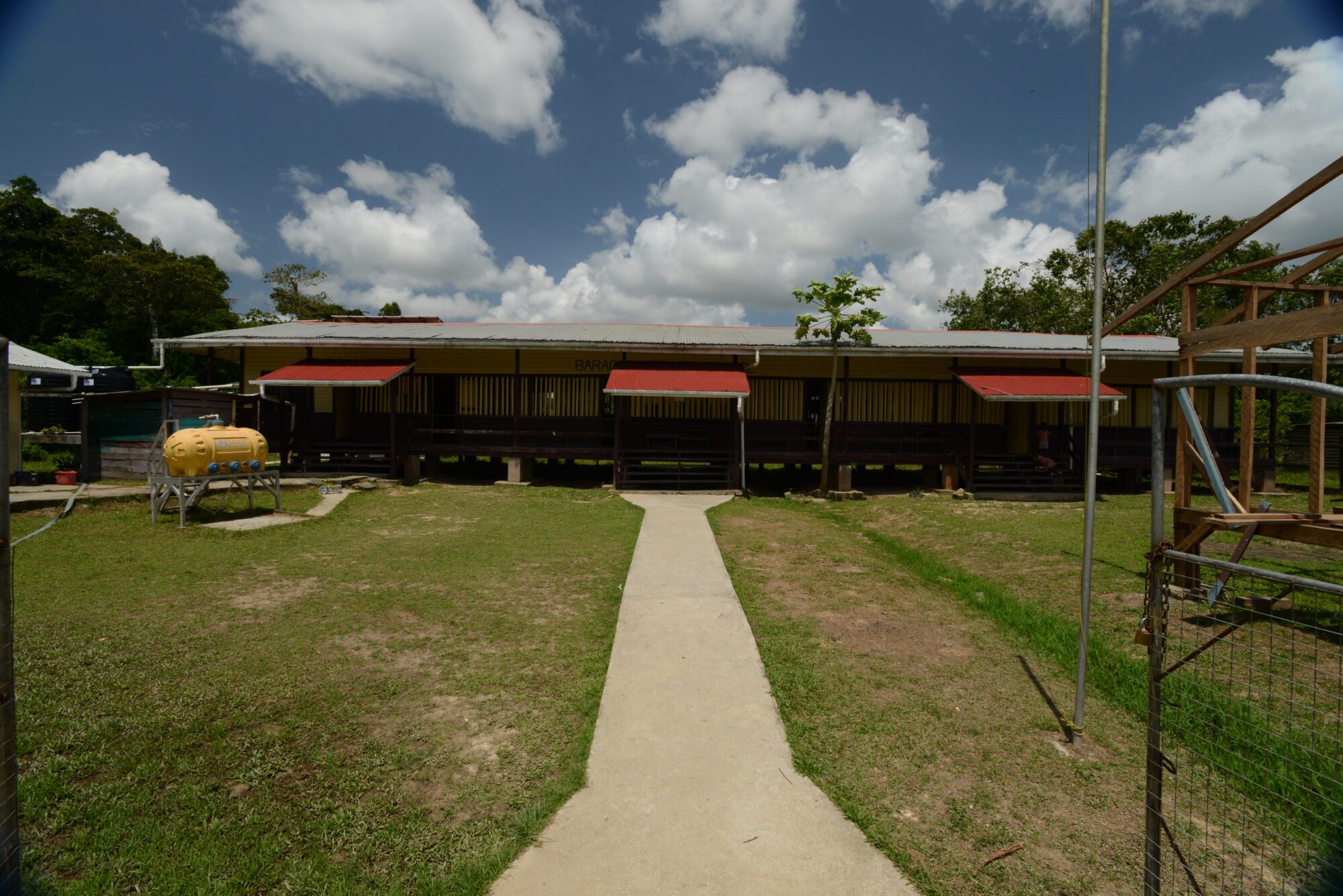
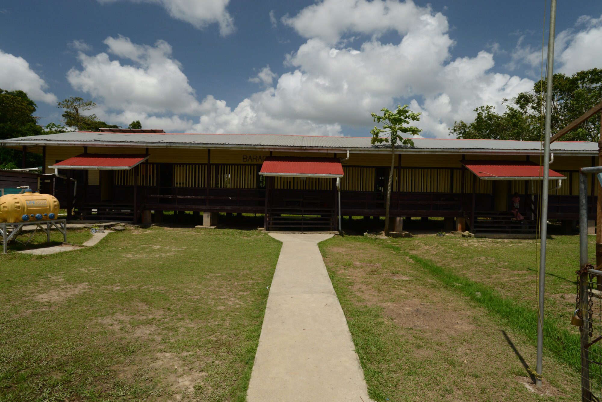
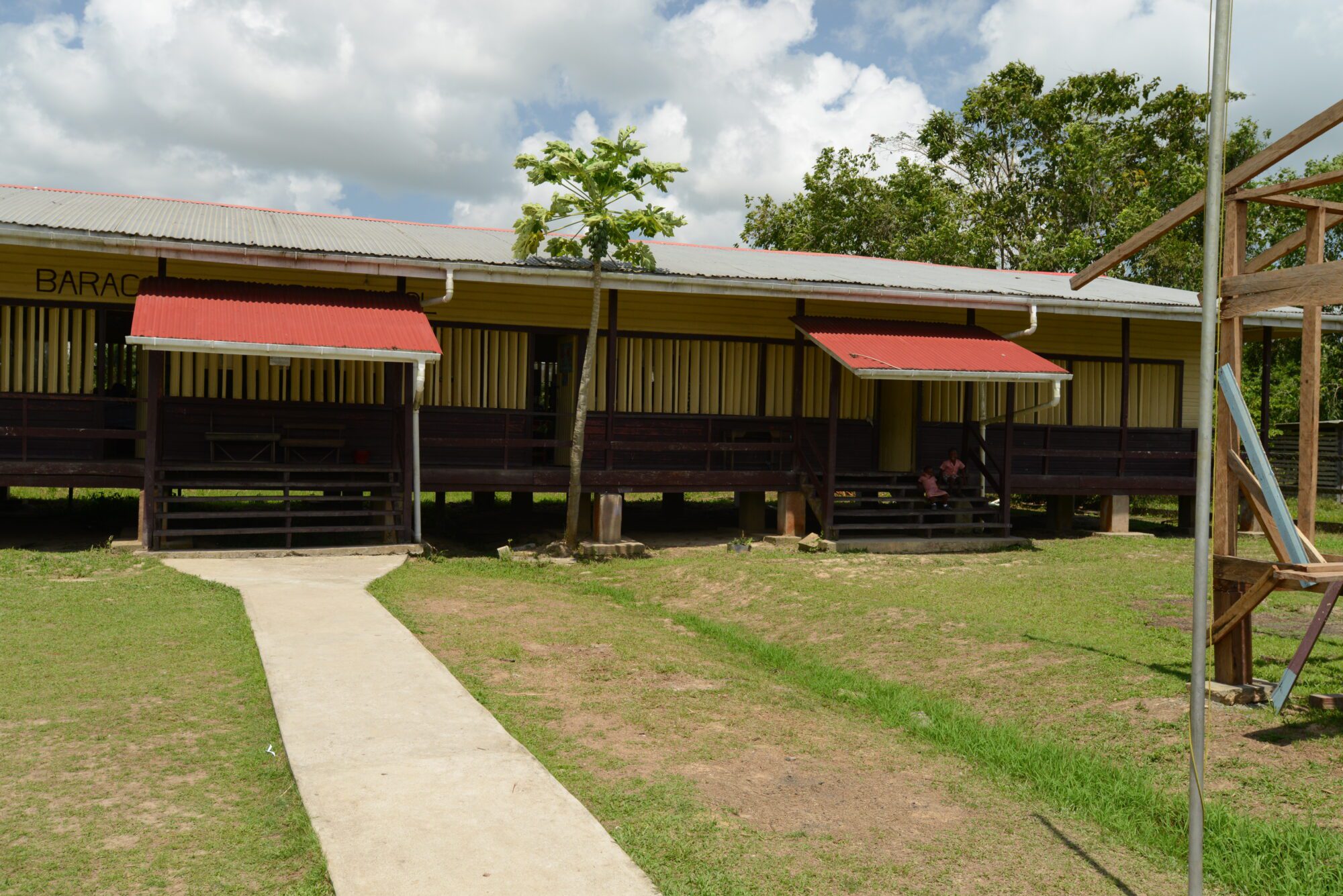
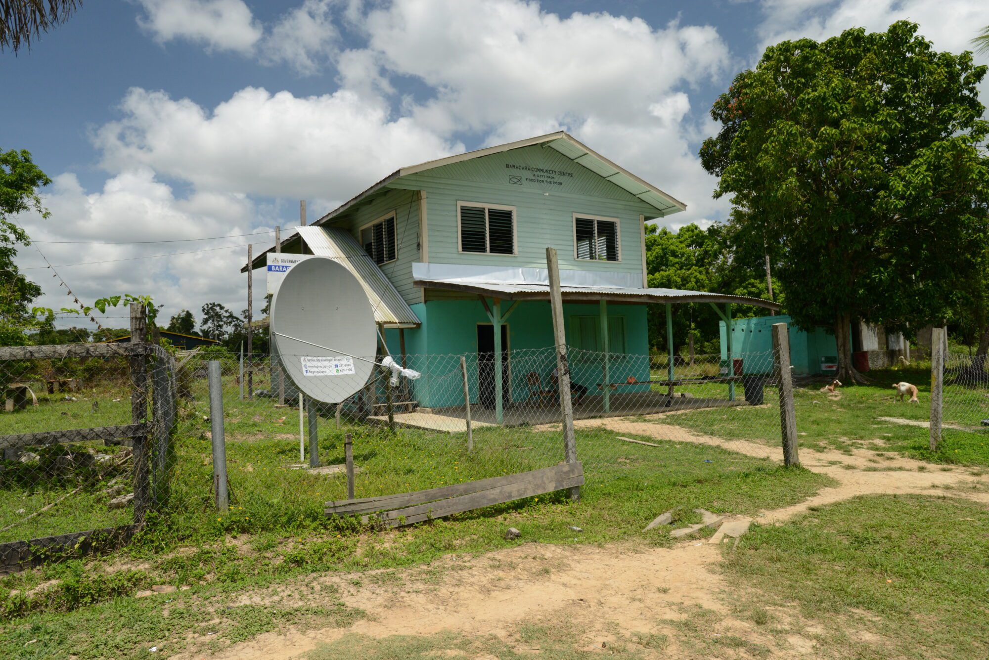
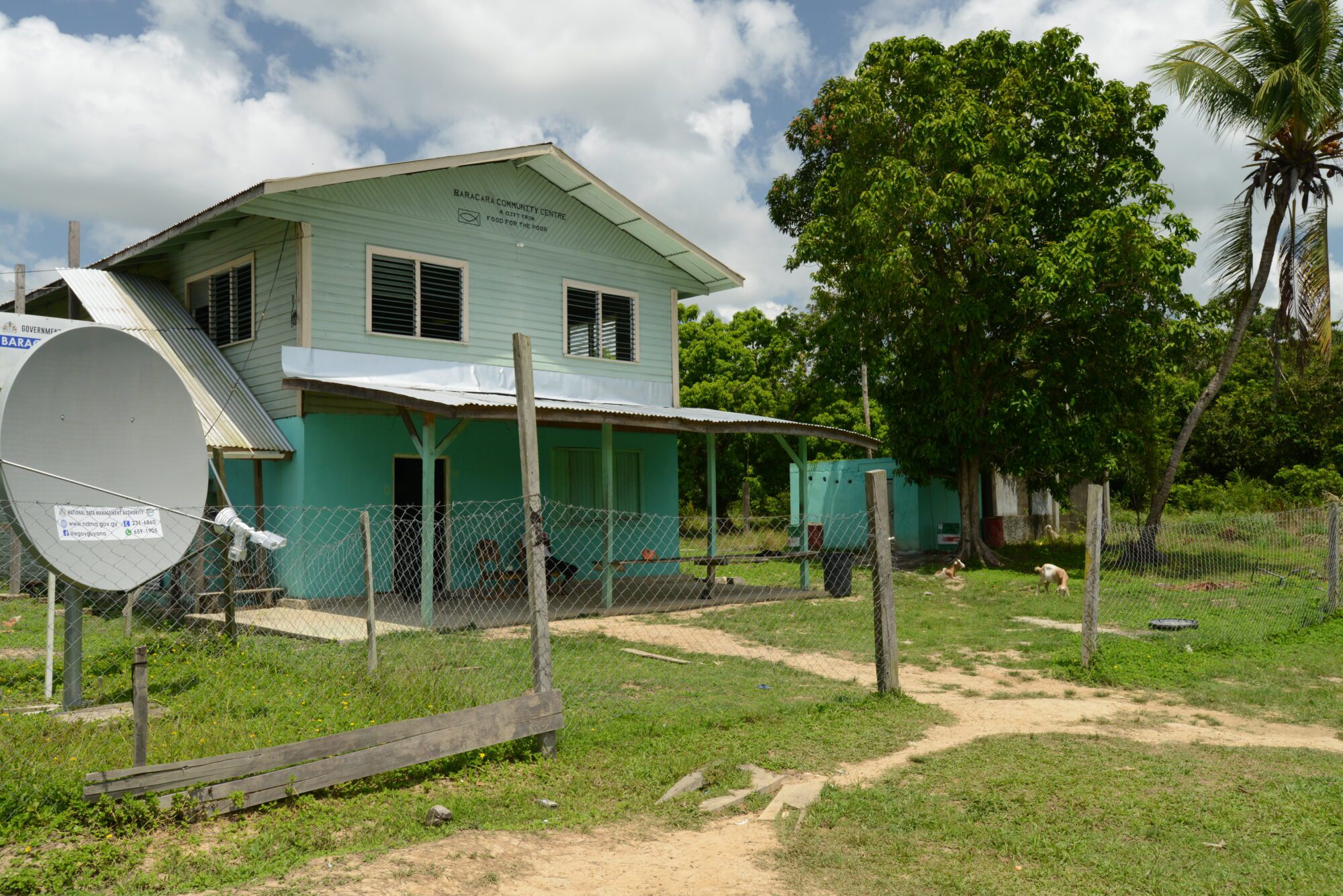
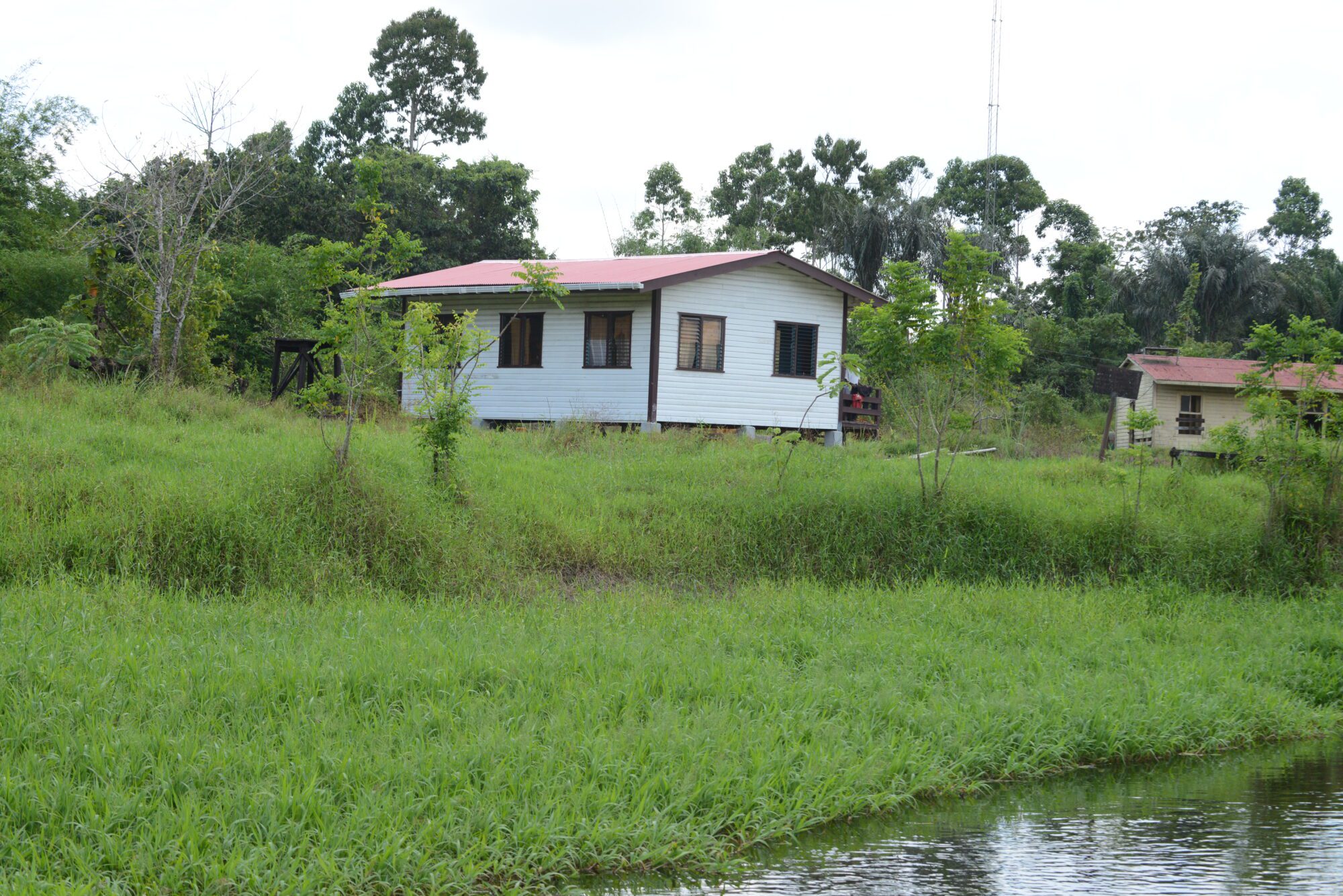
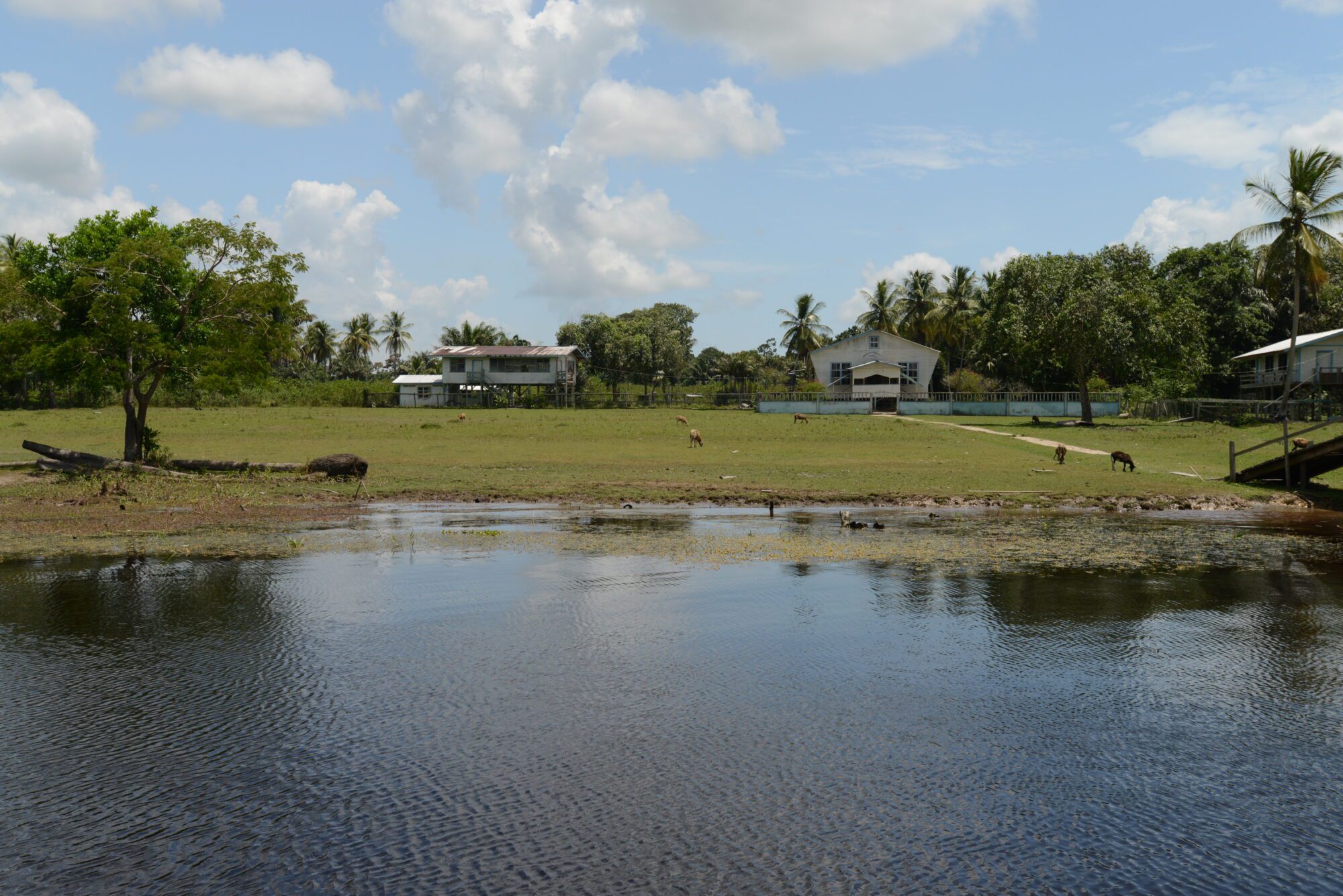
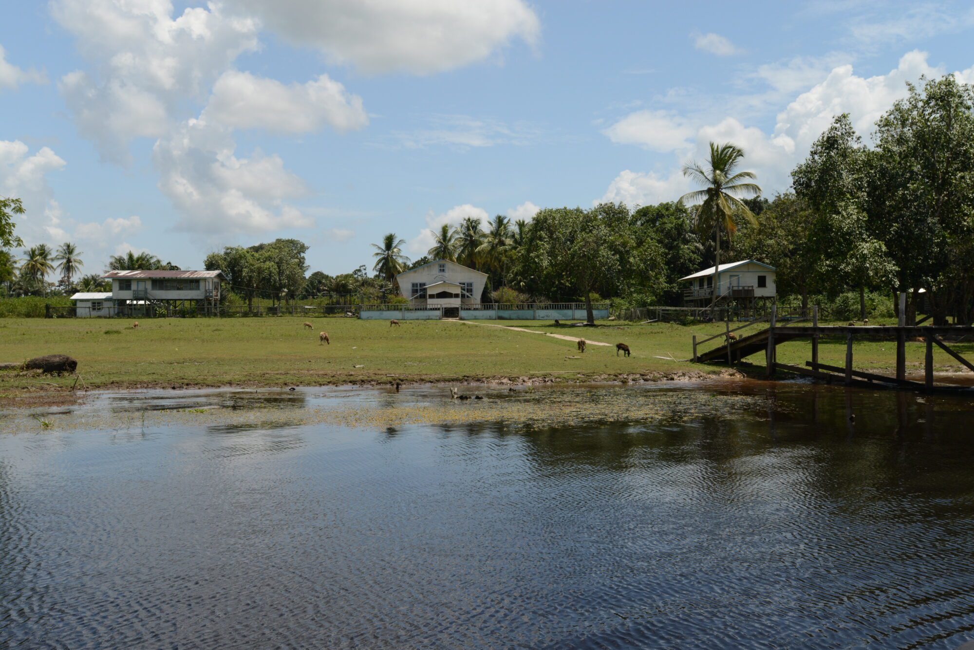
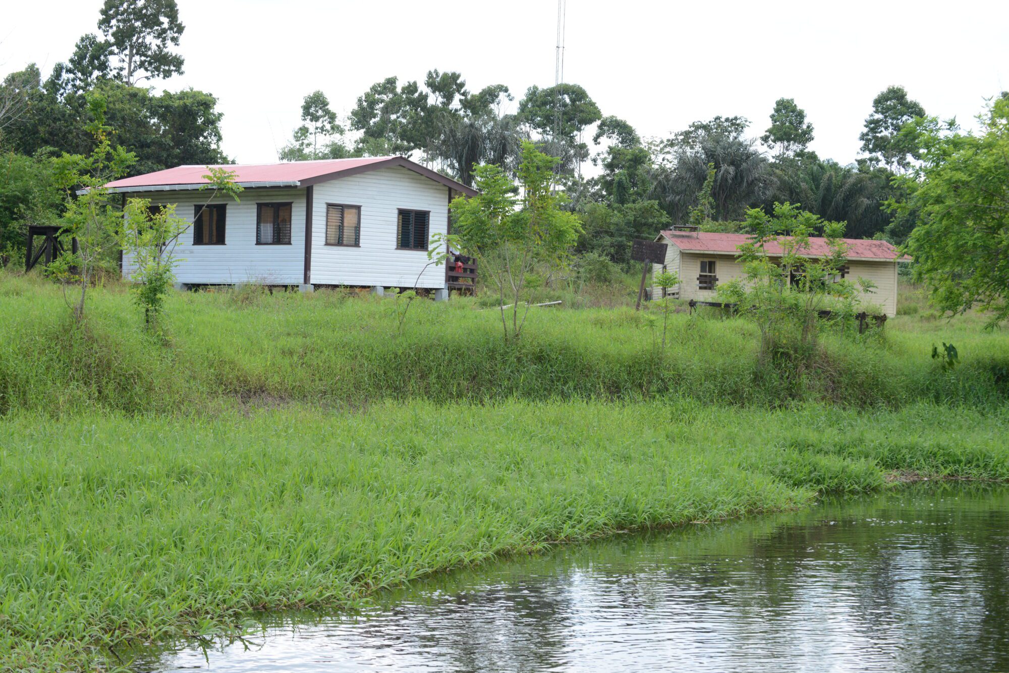
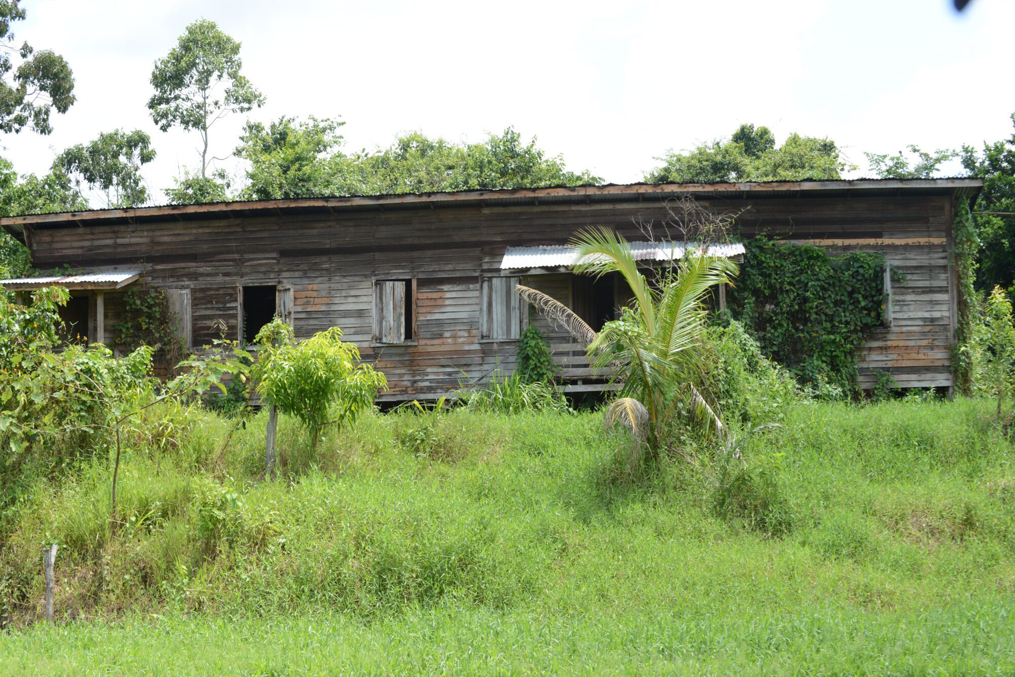
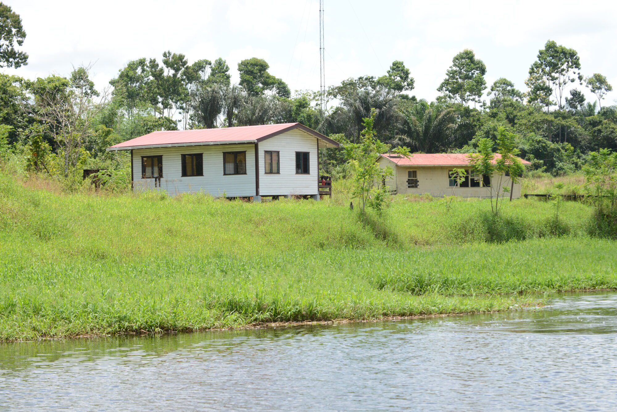
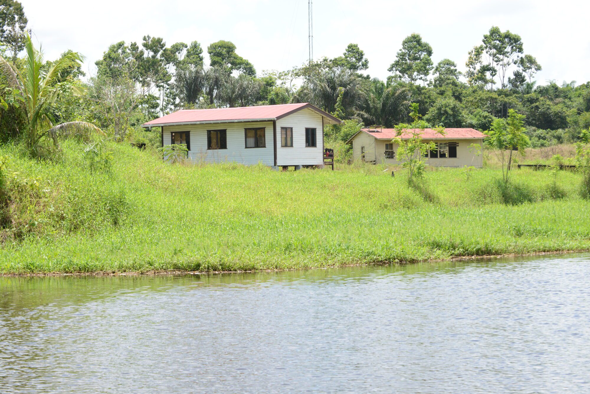
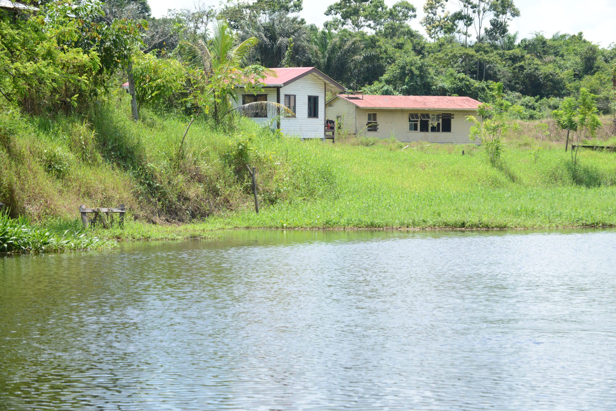
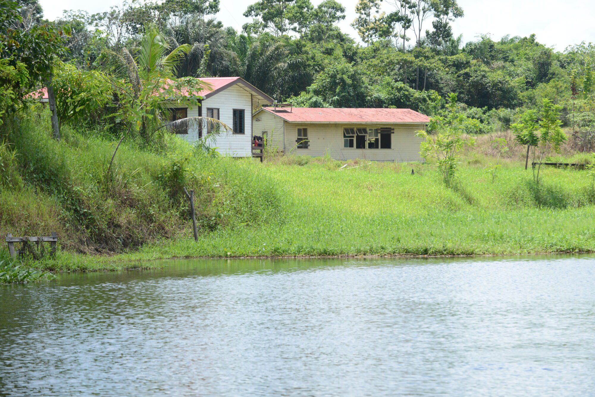
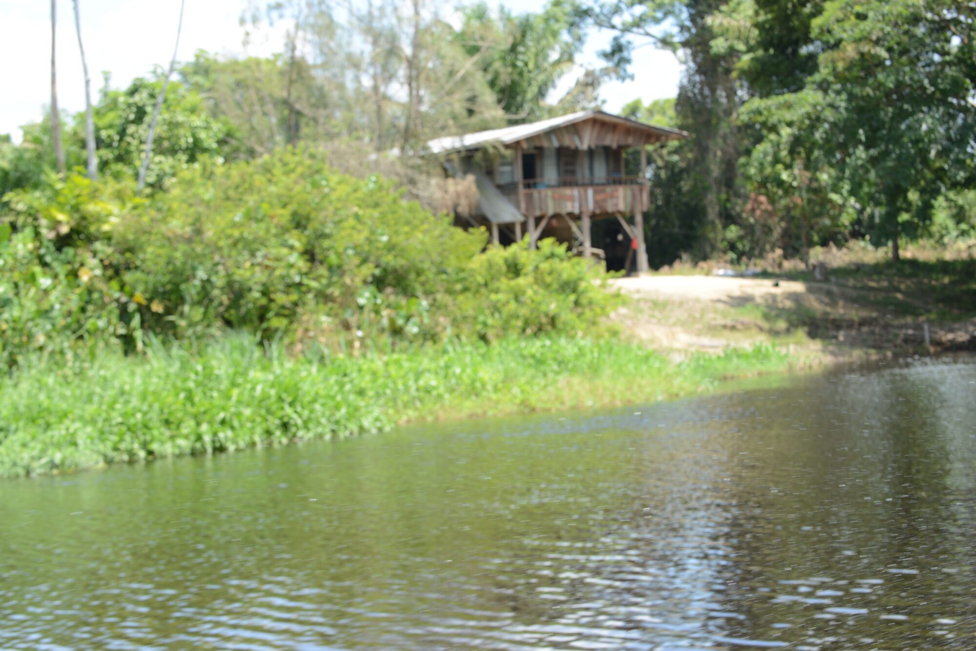
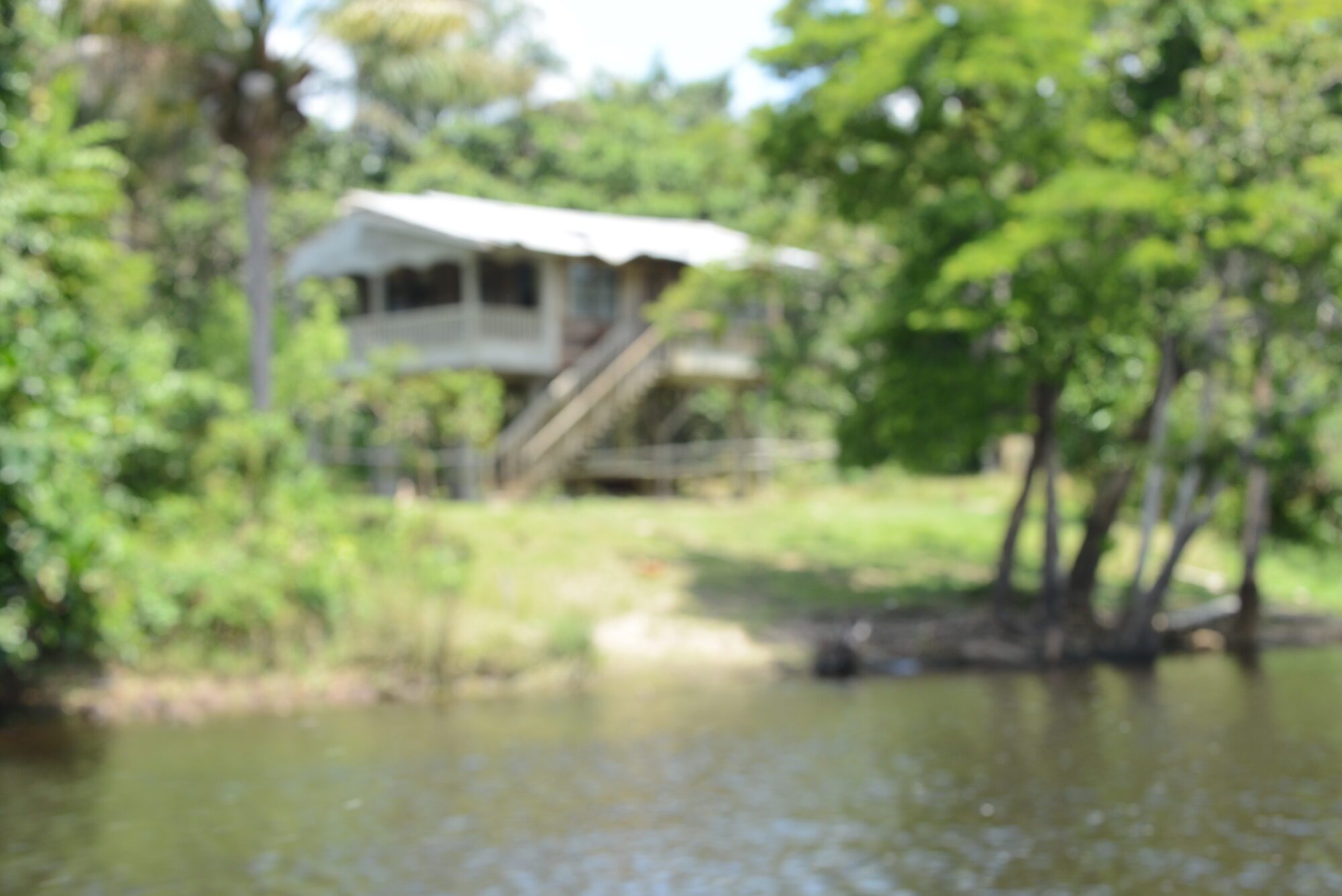
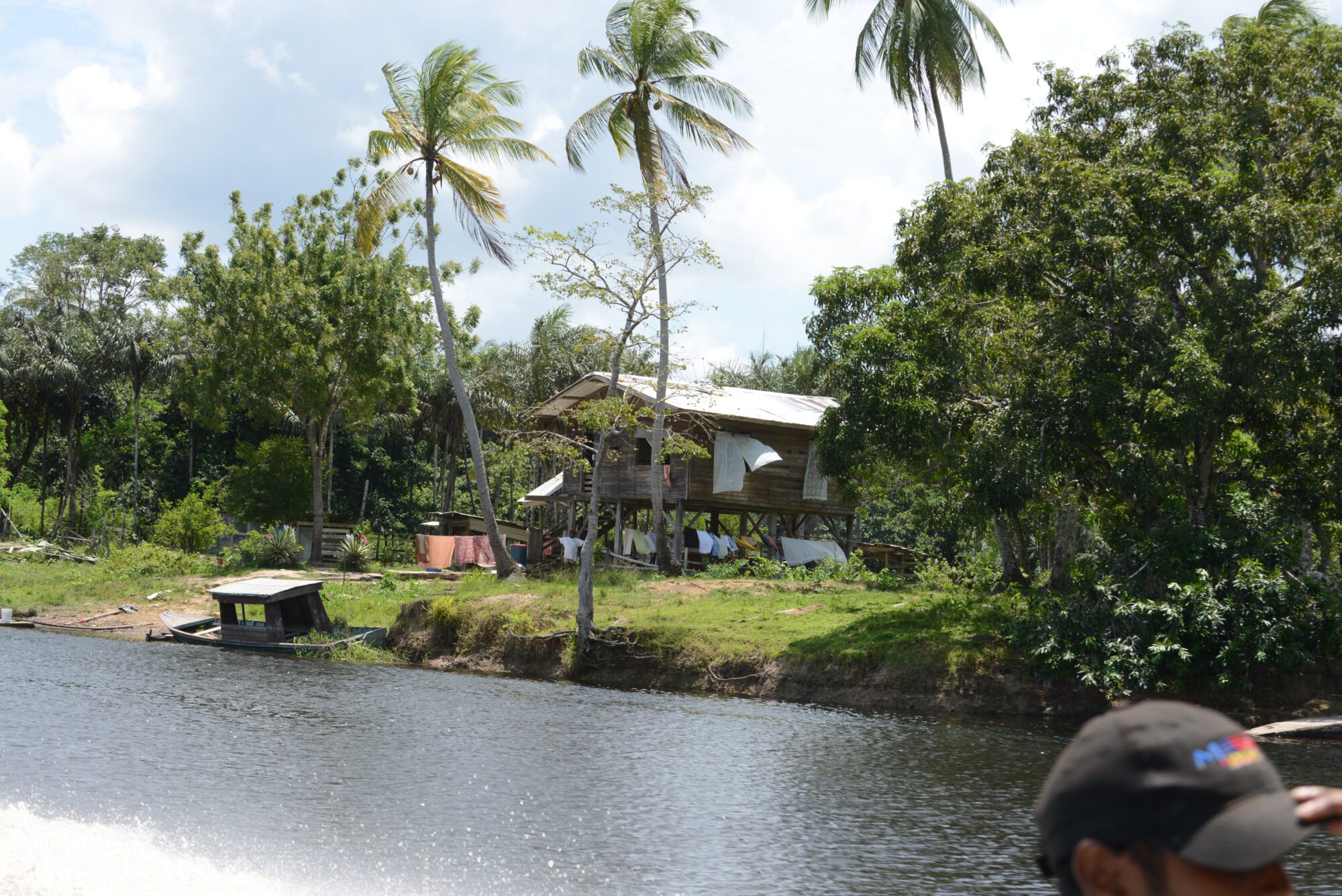
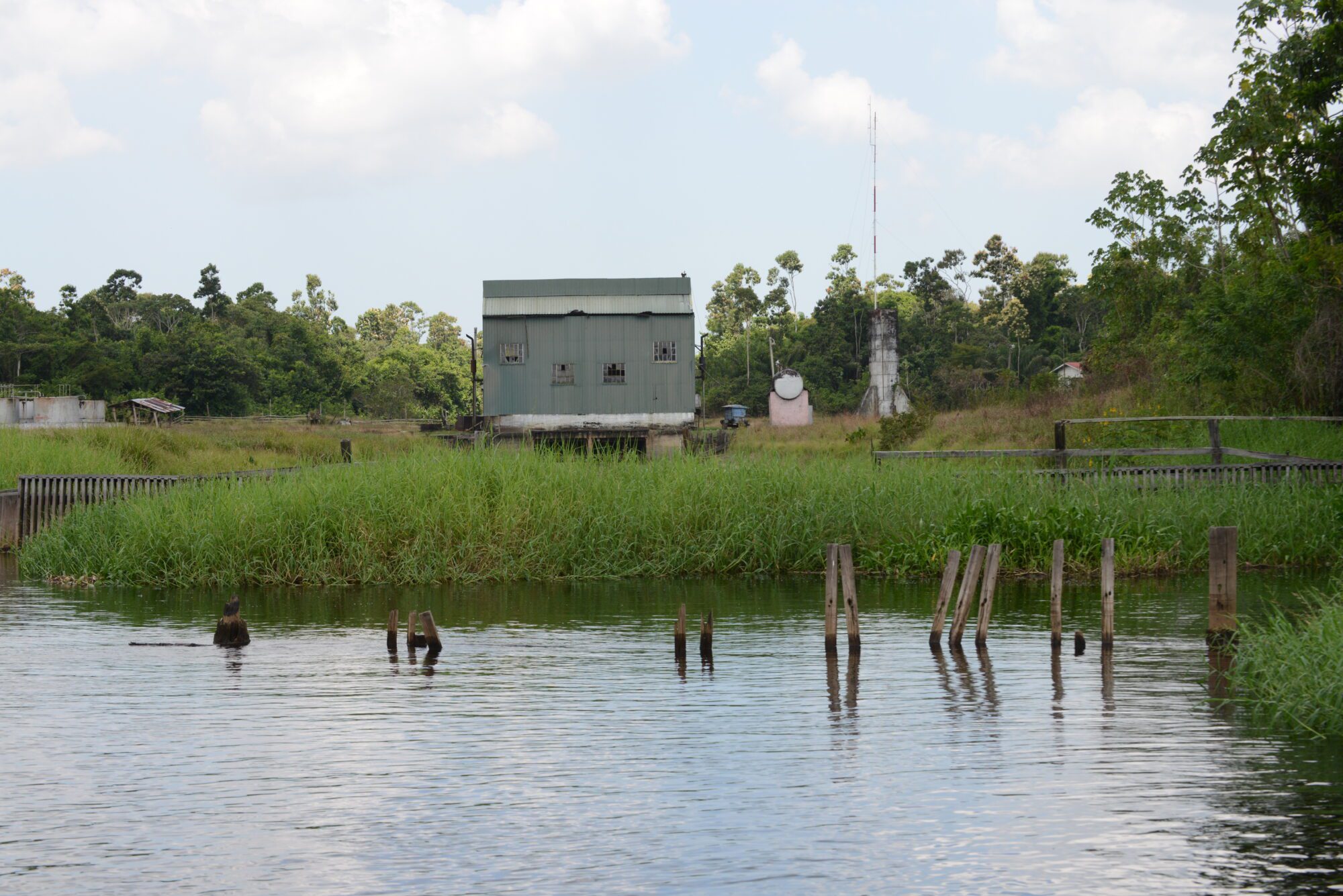
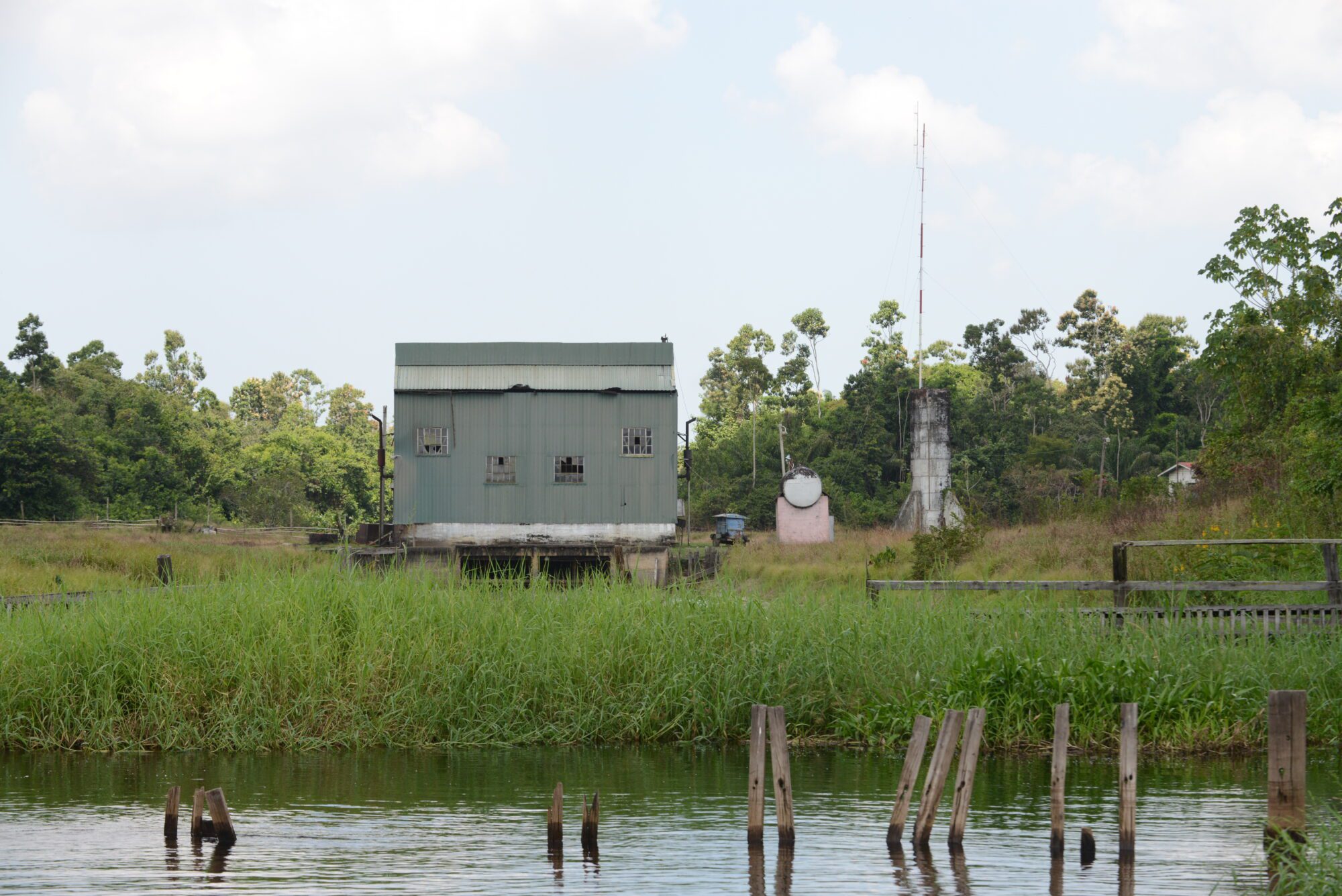
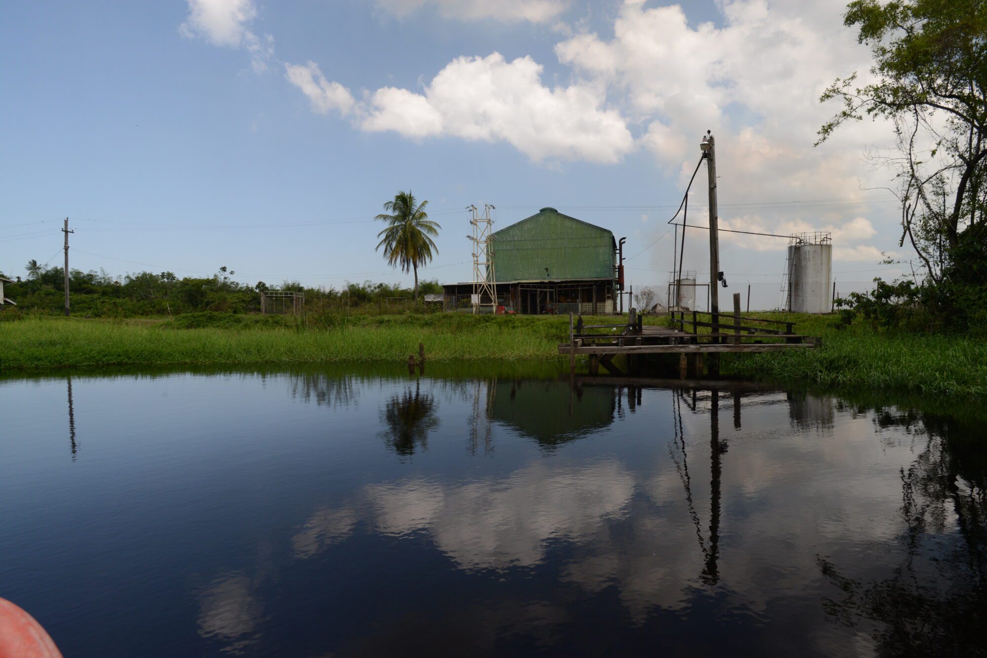
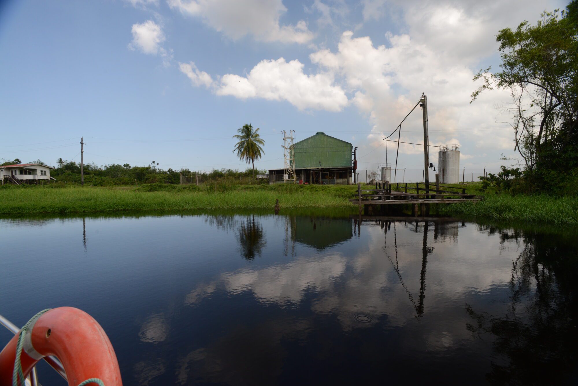
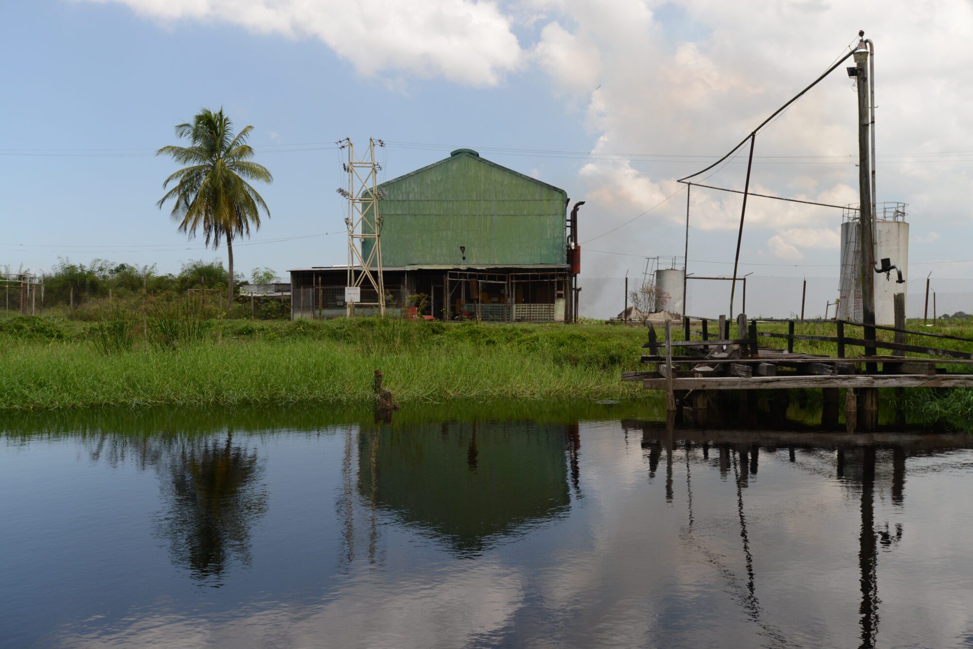
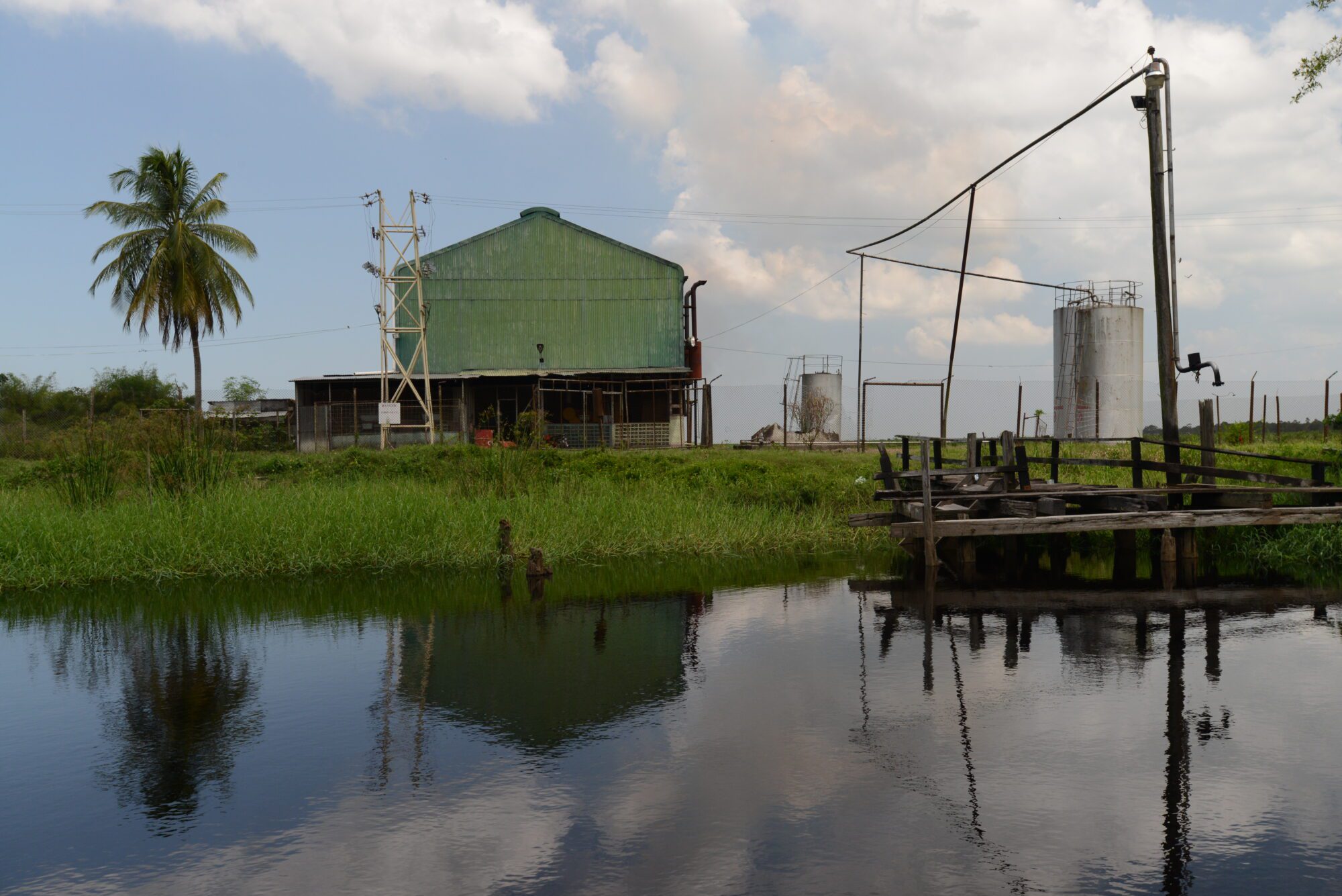
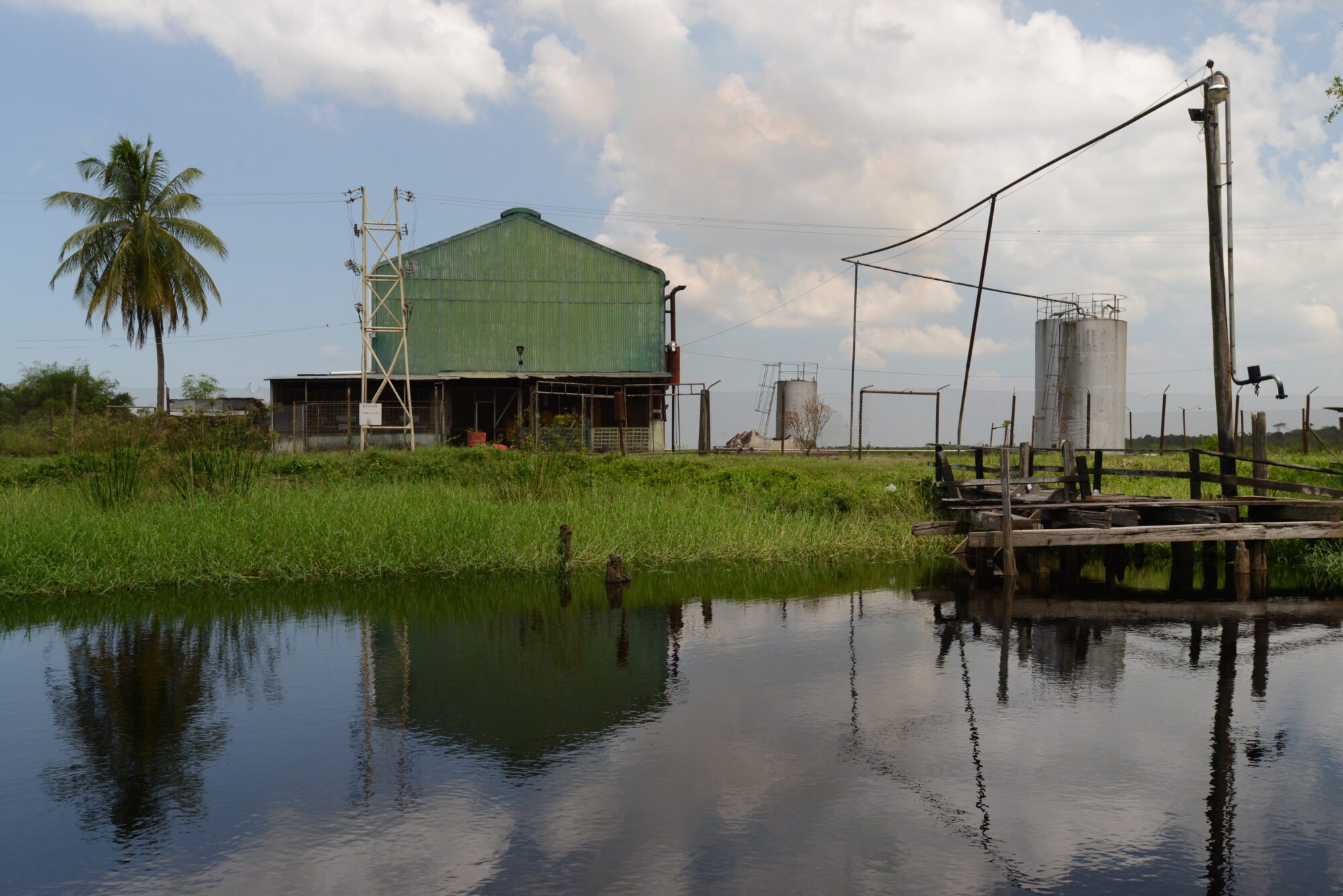
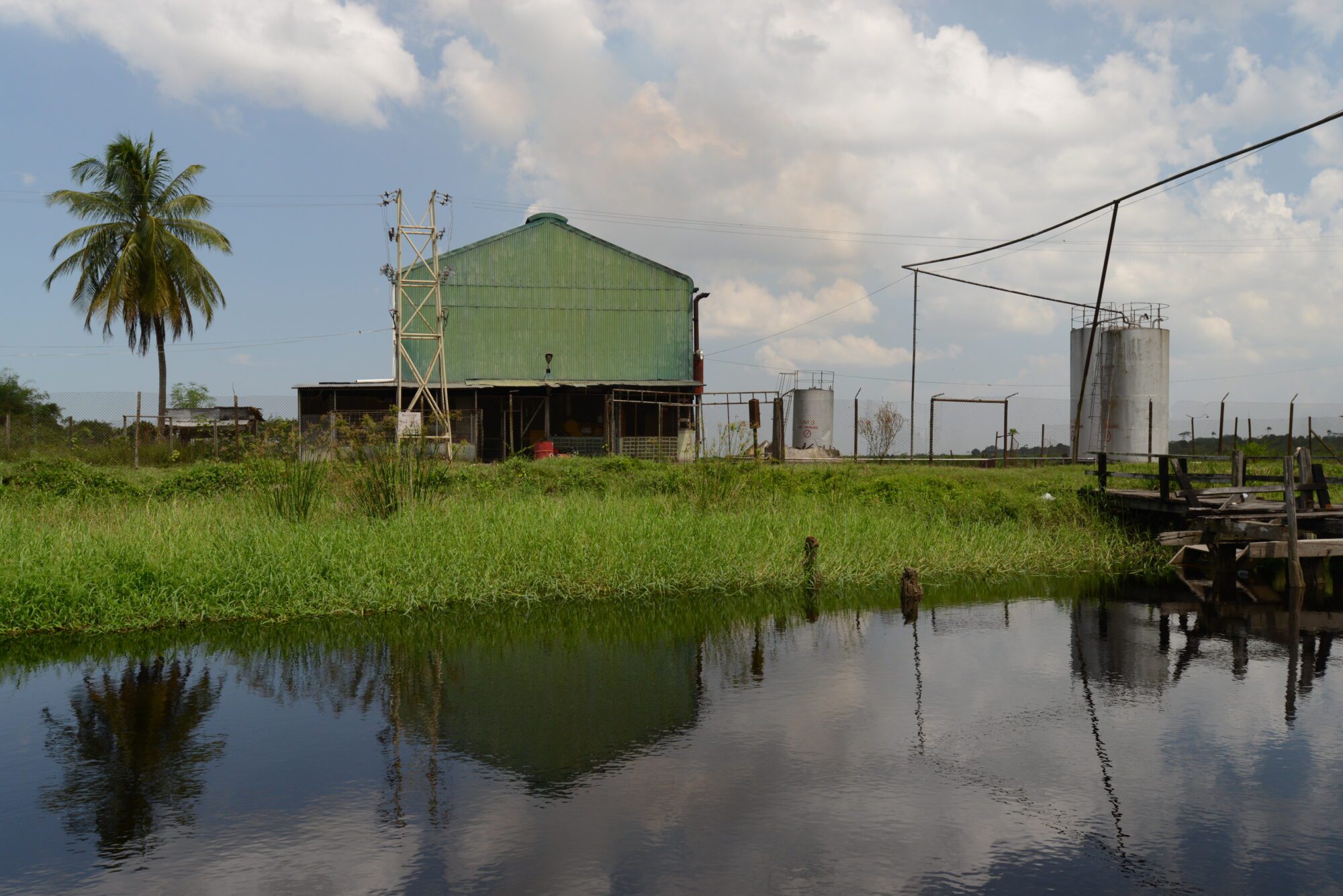
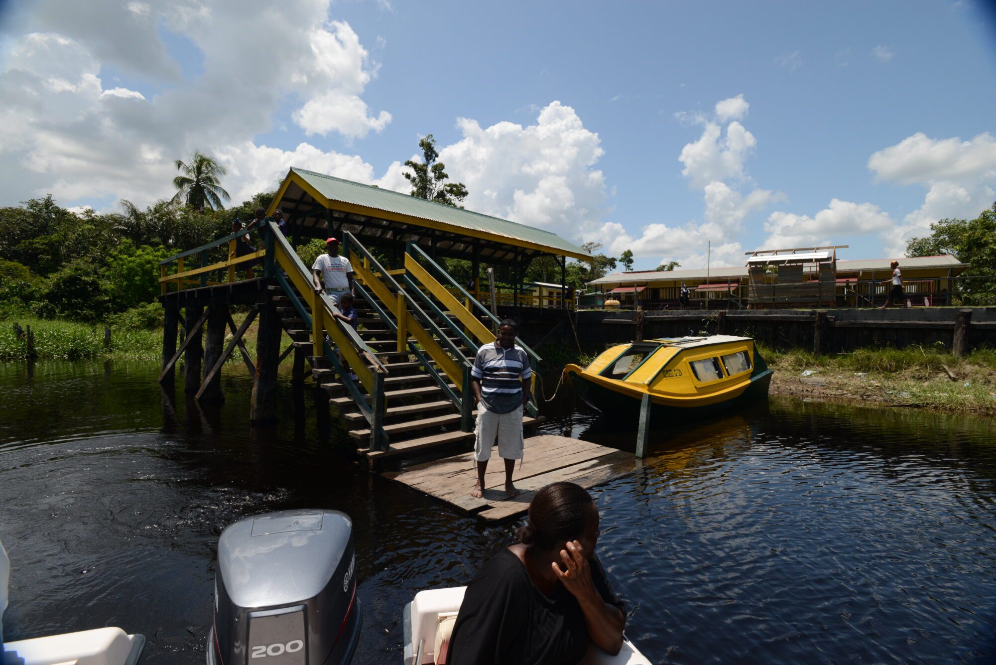
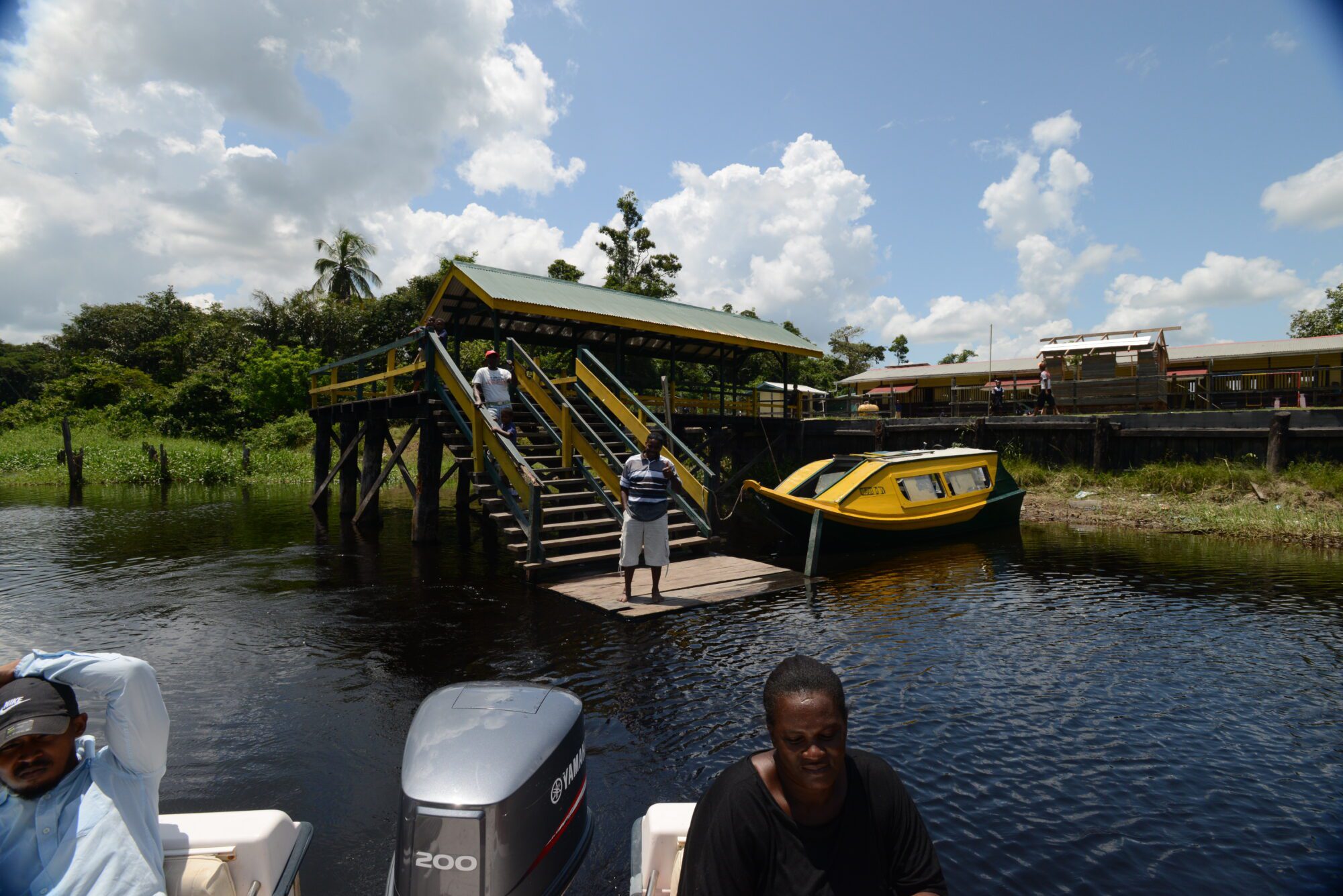
The current day residents live on both banks of the Canje River and traverse between banks by the use of a canoe or a boat. Some residents are farmers, some are wood cutters while others are hunters. There is a school and a clinic located on its western bank and a Seventh Day Adventist church on its eastern bank. There was once a Presbyterian church however it was demolished some time back. The community is located a few kilometres (miles) away from the area previously known as Plantation Magdelenenburg, where the 1763 Slave Rebellion began.